| Name: | Oconto County |
|---|---|
| FIPS code: | 55-083 |
| State: | Wisconsin |
| Founded: | 1854 |
| Named for: | Oconto River |
| Seat: | Oconto |
| Largest city: | Oconto |
| Total Area: | 1,149 sq mi (2,980 km²) |
| Land Area: | 998 sq mi (2,580 km²) |
| Total Population: | 38,965 |
| Population Density: | 39.1/sq mi (15.1/km²) |
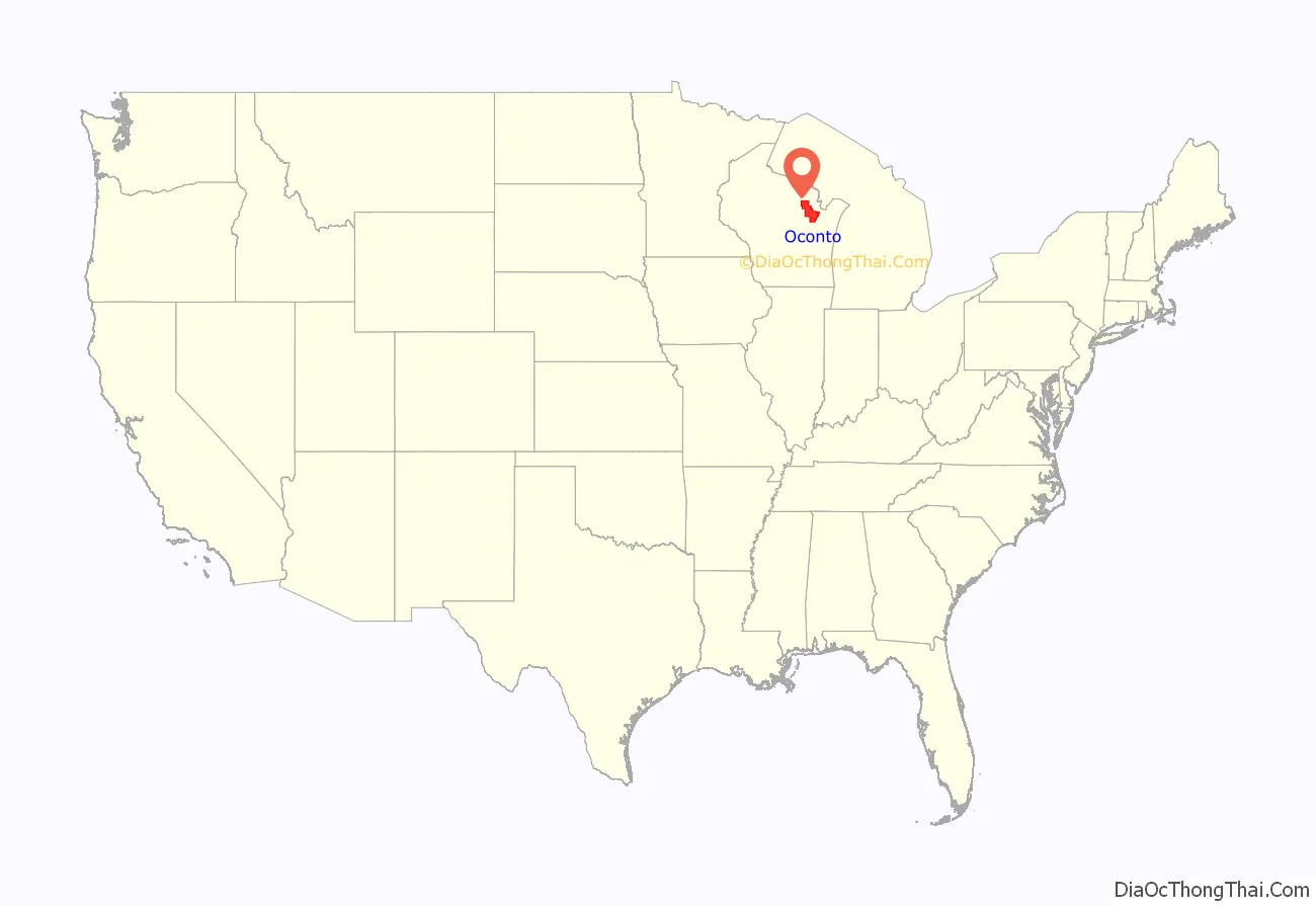
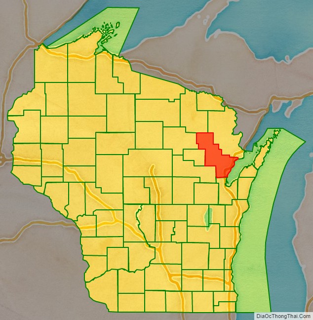
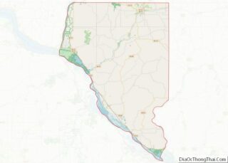
Oconto County location map. Where is Oconto County?
History
First visited by French explorers in the 17th century, Oconto County is among the oldest settlements in Wisconsin. Father Claude-Jean Allouez of the Roman Catholic Jesuit order said the first Mass in Oconto. Among the first settlers was Joseph Tourtilott, who explored much of the Oconto River watershed. Oconto County was created in 1851 and organized in 1854.
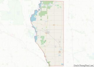
Oconto County Road Map
Geography
According to the U.S. Census Bureau, the county has a total area of 1,149 square miles (2,980 km), of which 998 square miles (2,580 km) is land and 151 square miles (390 km) (13%) is water.
Adjacent counties
- Marinette County – northeast
- Door County – southeast, border is in Green Bay
- Brown County – south
- Shawano County – southwest
- Menominee County – west
- Langlade County – west
- Forest County – northwest
Major highways
- U.S. Highway 41
- U.S. Highway 141
- Highway 22 (Wisconsin)
- Highway 32 (Wisconsin)
- Highway 64 (Wisconsin)
Railroads
- Canadian National
- Escanaba and Lake Superior Railroad
Buses
- List of intercity bus stops in Wisconsin
Airport
J. Douglas Bake Memorial Airport (KOCQ) serves the county and surrounding communities.
National protected area
- Nicolet National Forest (part)
