Okanogan (/ˌoʊkəˈnɒɡən/ OH-kə-NOG-ən; derived from Syilx’tsn: “rendezvous” or “meeting place”) is a city in Okanogan County, Washington, United States. The population was 2,552 at the 2010 census, within the Greater Omak Area. It is the seat of Okanogan County.
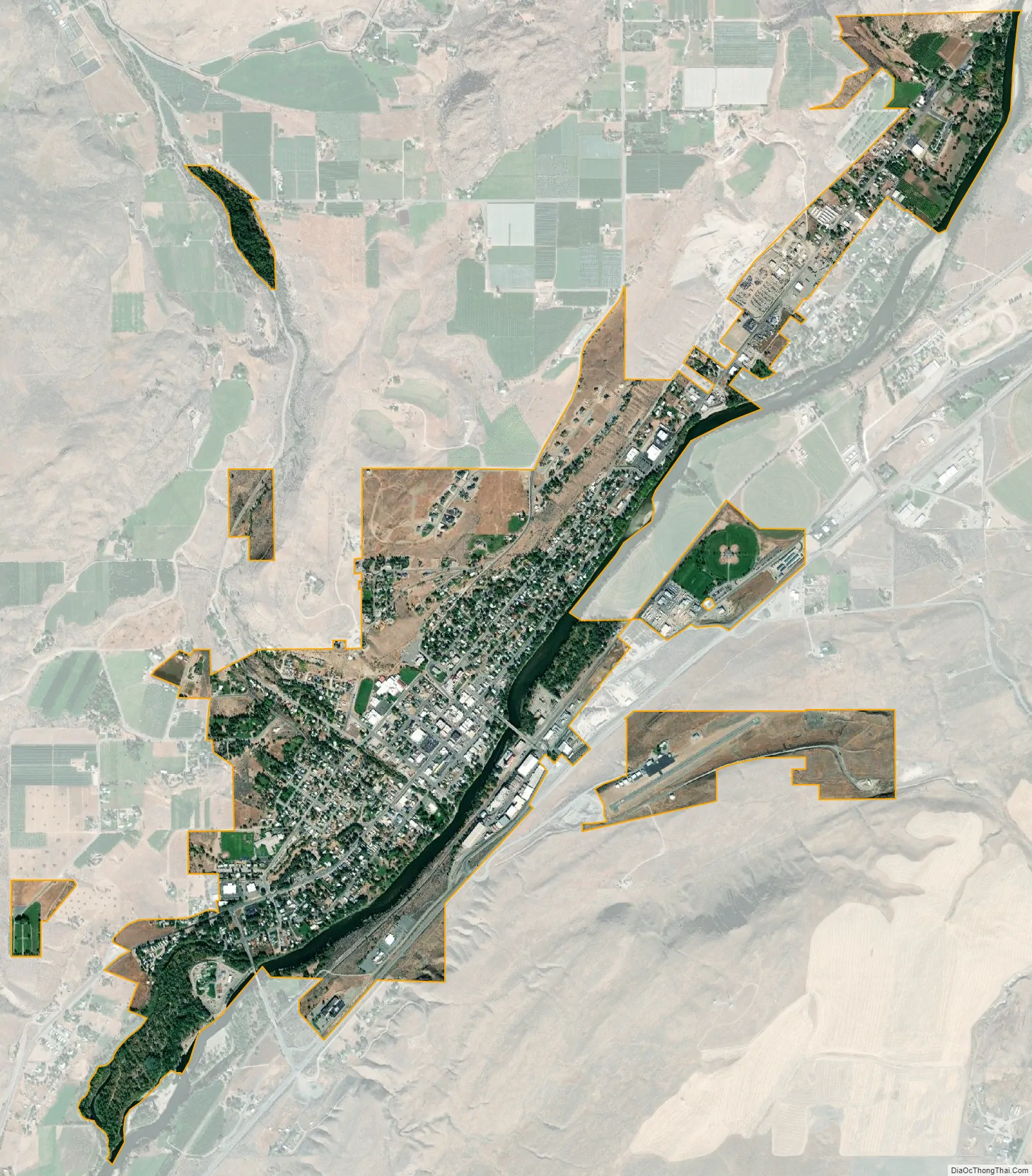
It has a small commuter airfield, Okanogan Legion Airport – (S35) with one paved runway of 2,533 ft (772 m) in length.
| Name: | Okanogan city |
|---|---|
| LSAD Code: | 25 |
| LSAD Description: | city (suffix) |
| State: | Washington |
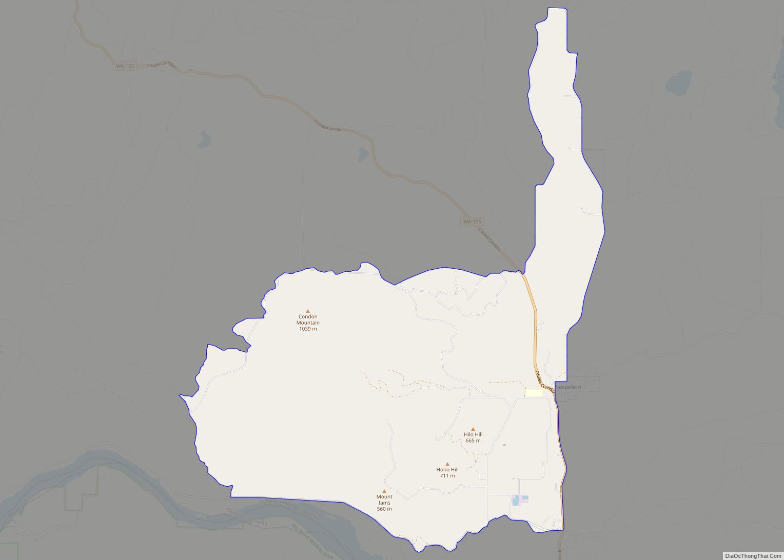
| County: | Okanogan County |
| Incorporated: | October 29, 1907 |
| Elevation: | 840 ft (256 m) |
| Land Area: | 2.01 sq mi (5.20 km²) |
| Water Area: | 0.11 sq mi (0.28 km²) |
| Population Density: | 1,288.84/sq mi (497.55/km²) |
| ZIP code: | 98840 |
| Area code: | 509 |
| FIPS code: | 5350920 |
| GNISfeature ID: | 1531489 |
| Website: | www.okanogancity.com |
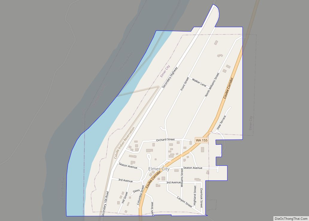
Online Interactive Map
Click on ![]() to view map in "full screen" mode.
to view map in "full screen" mode.
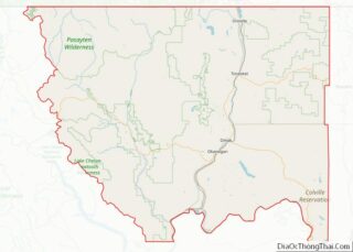
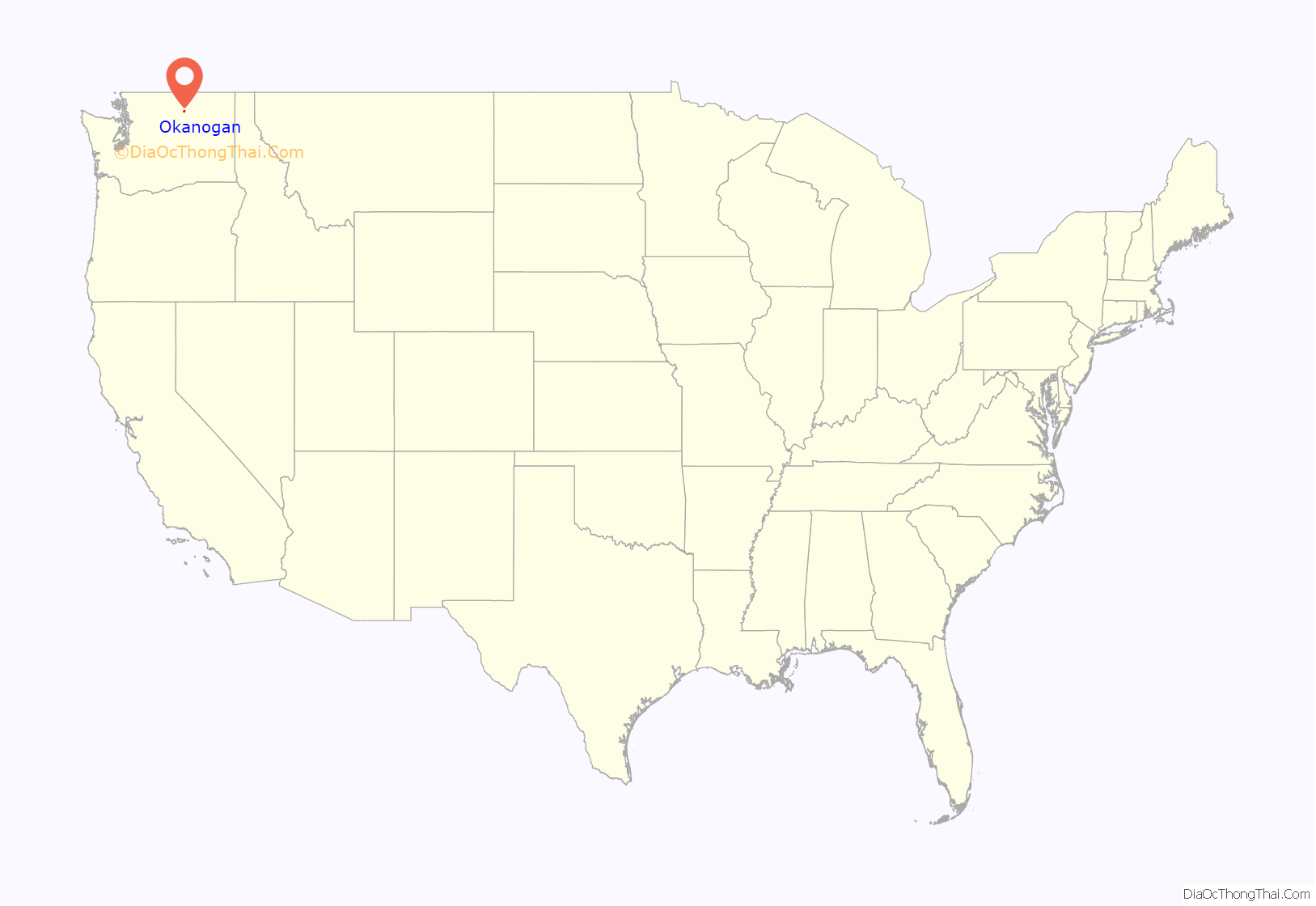
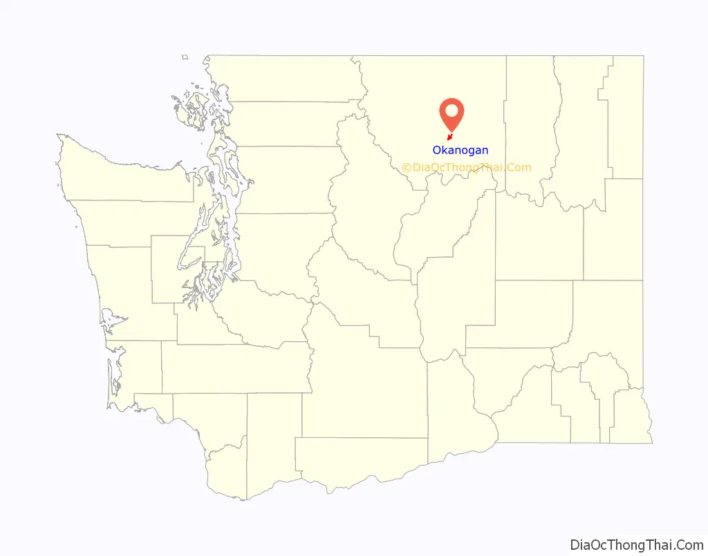
Okanogan location map. Where is Okanogan city?
History
Okanogan was officially incorporated on October 29, 1907.
A pair of 115 year old 60 ft (18 m) long murals possibly by Western photographer Frank S. Matsura was discovered during renovation of a 1907 commercial building in January 2022. The building had been used as a theater several times and Matsura had played in the Okanogan County Band on stage there. The mural is painted on canvases split between the north and south walls, and a 1915 newspaper clipping found by the Okanogan County Historical Society provided coverage of plans for the murals. Then the Hub Theater, the building was planned to incorporate panoramic scenery murals in tans painted by a local artist. The owners plan to take the murals down for restoration before rehanging them as the centerpiece of a historical exhibit.
Okanogan Road Map
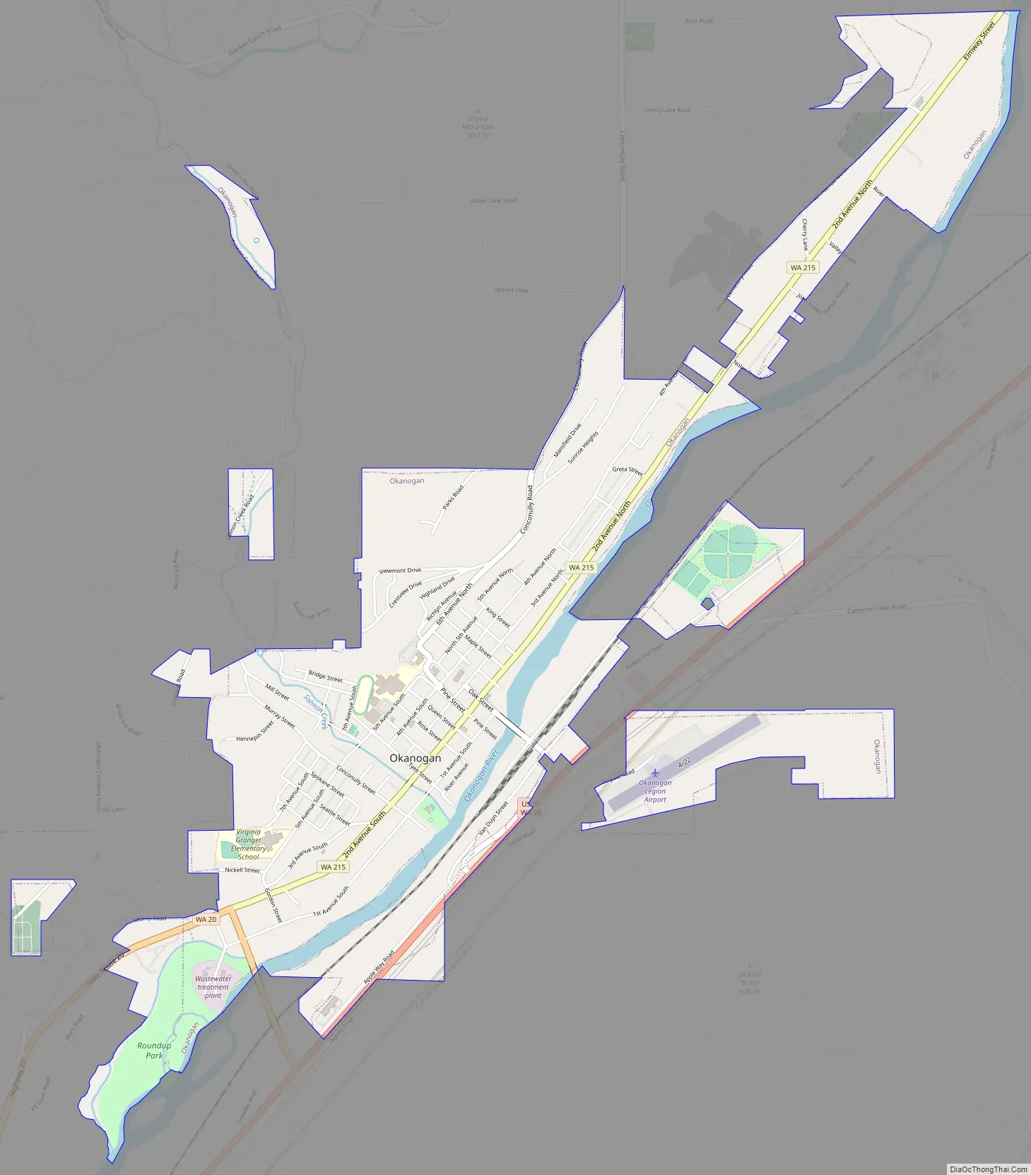
Okanogan city Satellite Map
Geography
Okanogan is located at 48°22′0″N 119°34′52″W / 48.36667°N 119.58111°W / 48.36667; -119.58111 (48.366694, −119.581139).
According to the United States Census Bureau, the city has a total area of 2.00 square miles (5.18 km), of which, 1.95 square miles (5.05 km) is land and 0.05 square miles (0.13 km) is water.
The town is located along the Okanogan River.
See also
Map of Washington State and its subdivision:- Adams
- Asotin
- Benton
- Chelan
- Clallam
- Clark
- Columbia
- Cowlitz
- Douglas
- Ferry
- Franklin
- Garfield
- Grant
- Grays Harbor
- Island
- Jefferson
- King
- Kitsap
- Kittitas
- Klickitat
- Lewis
- Lincoln
- Mason
- Okanogan
- Pacific
- Pend Oreille
- Pierce
- San Juan
- Skagit
- Skamania
- Snohomish
- Spokane
- Stevens
- Thurston
- Wahkiakum
- Walla Walla
- Whatcom
- Whitman
- Yakima
- Alabama
- Alaska
- Arizona
- Arkansas
- California
- Colorado
- Connecticut
- Delaware
- District of Columbia
- Florida
- Georgia
- Hawaii
- Idaho
- Illinois
- Indiana
- Iowa
- Kansas
- Kentucky
- Louisiana
- Maine
- Maryland
- Massachusetts
- Michigan
- Minnesota
- Mississippi
- Missouri
- Montana
- Nebraska
- Nevada
- New Hampshire
- New Jersey
- New Mexico
- New York
- North Carolina
- North Dakota
- Ohio
- Oklahoma
- Oregon
- Pennsylvania
- Rhode Island
- South Carolina
- South Dakota
- Tennessee
- Texas
- Utah
- Vermont
- Virginia
- Washington
- West Virginia
- Wisconsin
- Wyoming