Oneida County is a county in the state of Wisconsin, United States. At the 2020 census, the population was 37,845. Its county seat is Rhinelander.
| Name: | Oneida County |
|---|---|
| FIPS code: | 55-085 |
| State: | Wisconsin |
| Founded: | 1887 |
| Named for: | Oneida people |
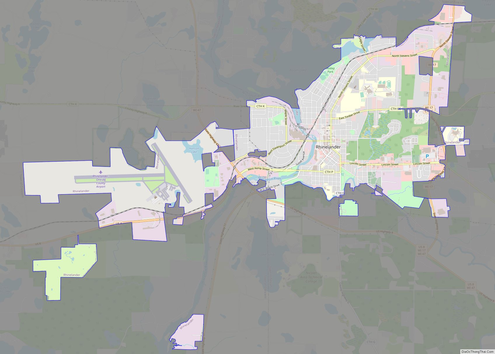
| Seat: | Rhinelander |
| Largest city: | Rhinelander |
| Total Area: | 1,236 sq mi (3,200 km²) |
| Land Area: | 1,113 sq mi (2,880 km²) |
| Total Population: | 37,845 |
| Population Density: | 34/sq mi (13/km²) |
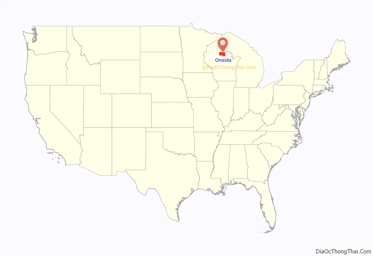
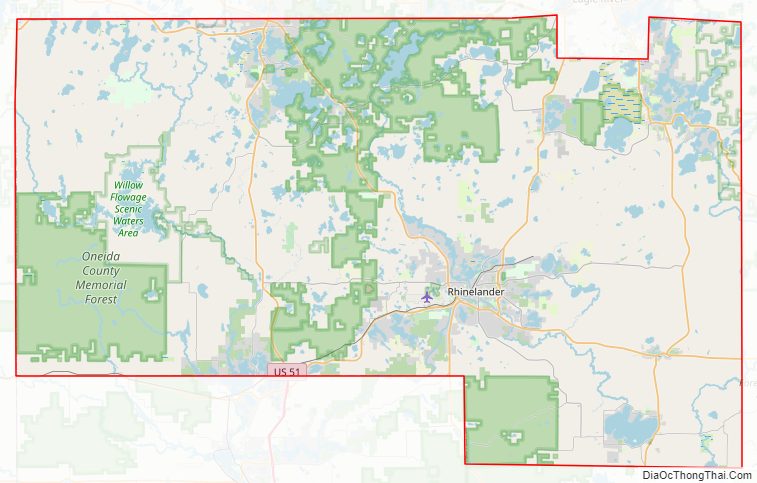
Oneida County location map. Where is Oneida County?
History
Oneida County was formed in 1887 from sections of Lincoln County. It was named after the indigenous Oneida tribe, one of the five nations of the Iroquois.
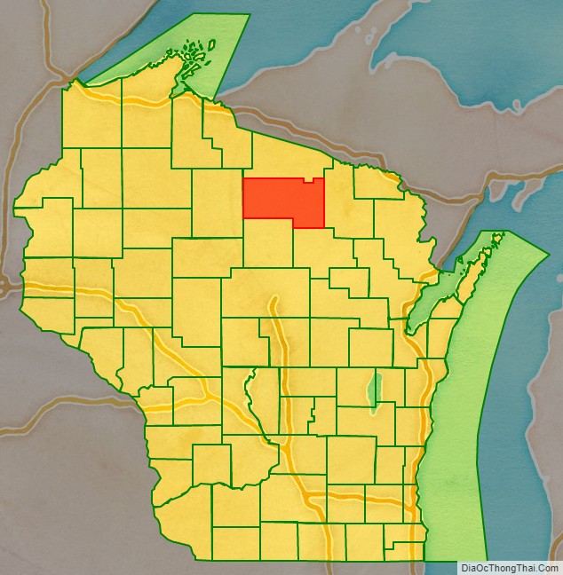
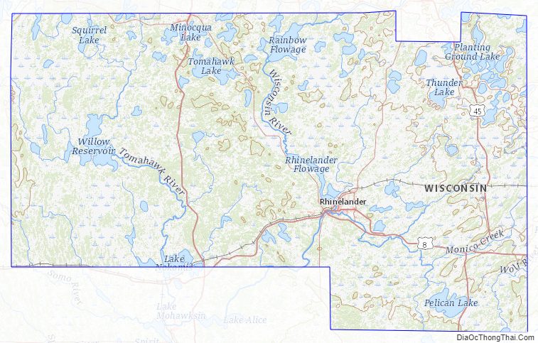
Oneida County Road Map
Geography
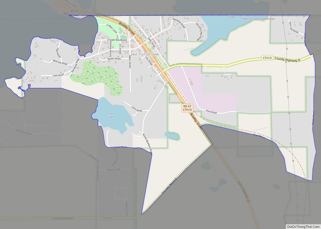
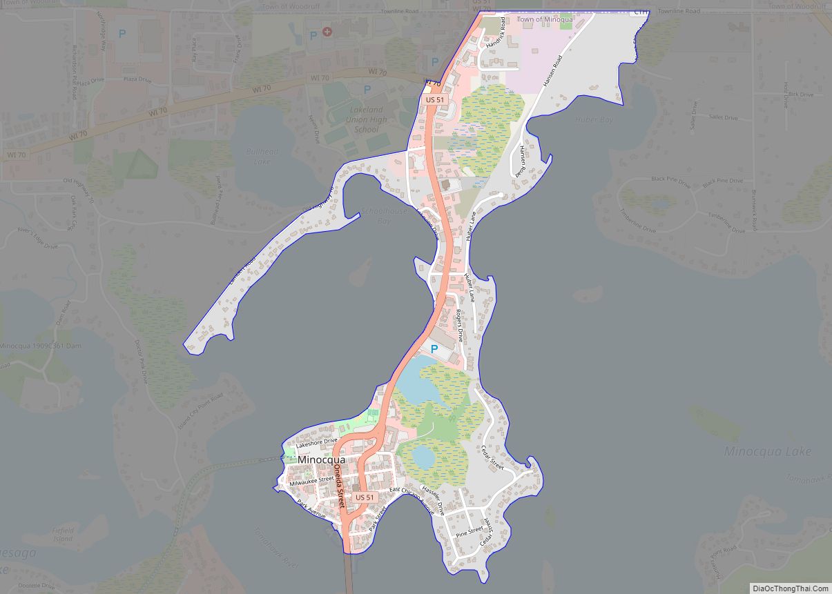
According to the U.S. Census Bureau, the county has a total area of 1,236 square miles (3,200 km), of which 1,113 square miles (2,880 km) are land and 123 square miles (320 km) (10%) are covered by water. Most people visit Oneida County to enjoy its lakes. In particular, tourists flock to Minocqua, a town of nearly 5,000 people with a summer population around 15,000.
Adjacent counties
- Forest County – east
- Langlade County – southeast
- Lincoln County – south
- Price County – west
- Vilas County – north
Major highways
- U.S. Highway 8
- U.S. Highway 45
- U.S. Highway 51
- Highway 17 (Wisconsin)
- Highway 32 (Wisconsin)
- Highway 47 (Wisconsin)
- Highway 70 (Wisconsin)
Railroads
- Watco
Buses
- Bay Area Rural Transit
- List of intercity bus stops in Wisconsin
Airports
Oneida County is served by two public-use airports:
- Rhinelander-Oneida County Airport (KRHI) serves the county and surrounding communities with both scheduled commercial jet service and general aviation services.
- Three Lakes Municipal Airport enhances county general aviation service.
Dolhun Field Airport is also located in the county, but it is for private use by the members of the Dolhun Field Airpark Owners Association.
National protected area
- Nicolet National Forest (part)
Oneida County Topographic Map
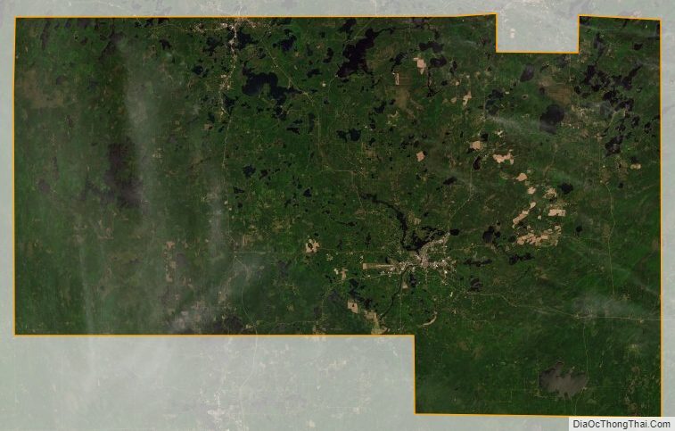
Oneida County Satellite Map
Oneida County Outline Map