Calhoun County is a county in the U.S. state of South Carolina. As of the 2020 census, its population was 14,119, making it the third-least populous county in the state. Its county seat is St. Matthews. In terms of land area, it is also the smallest county in the state.
Located in a rural upland area long devoted to cotton plantations, part of the Black Belt of the South, the county was formed in 1908 from portions of Lexington and Orangeburg counties. It is named for John C. Calhoun, the former U.S. Vice-President, Senator, Representative and cabinet member from South Carolina, although Calhoun was from nearby Abbeville, South Carolina.
Calhoun County is part of the Columbia, SC Metropolitan Statistical Area. It has an overall score of 52 including factors health, crime, equity, education, and housing. It is one of 11 counties with the same name in the United States.
| Name: | Calhoun County |
|---|---|
| FIPS code: | 45-017 |
| State: | South Carolina |
| Founded: | 1908 |
| Named for: | John C. Calhoun |
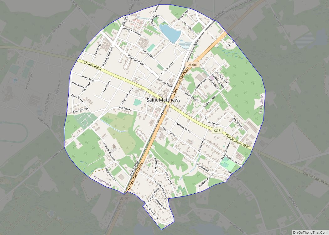
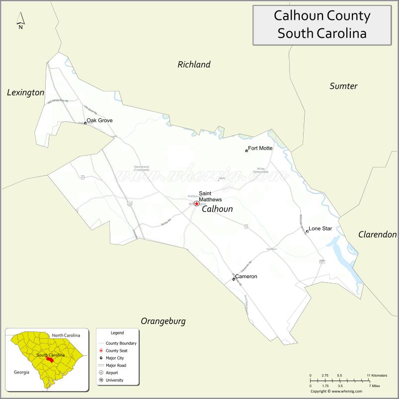
| Seat: | St. Matthews |
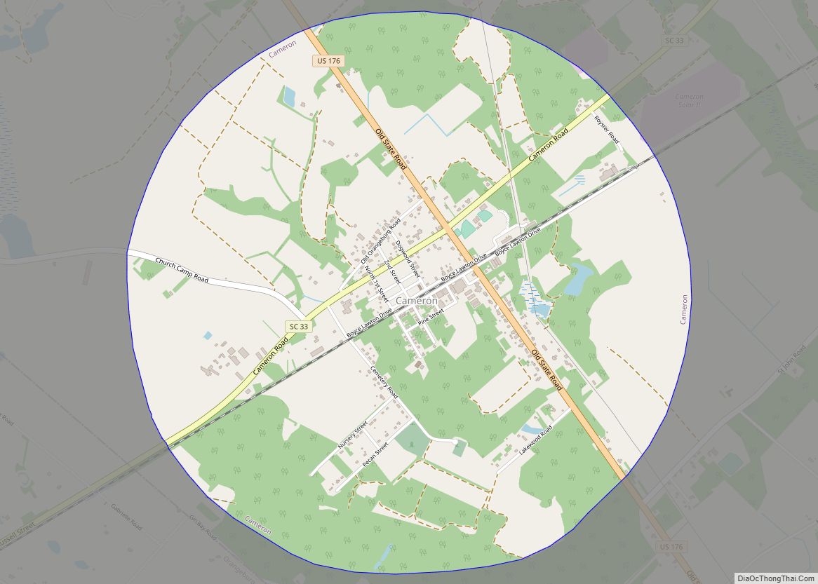
| Largest town: | St. Matthews |
| Total Area: | 392 sq mi (1,020 km²) |
| Land Area: | 381 sq mi (990 km²) |
| Total Population: | 14,165 |
| Population Density: | 37.2/sq mi (14.4/km²) |
| Time zone: | UTC−5 (Eastern) |
| Summer Time Zone (DST): | UTC−4 (EDT) |
| Website: | calhouncounty.sc.gov |
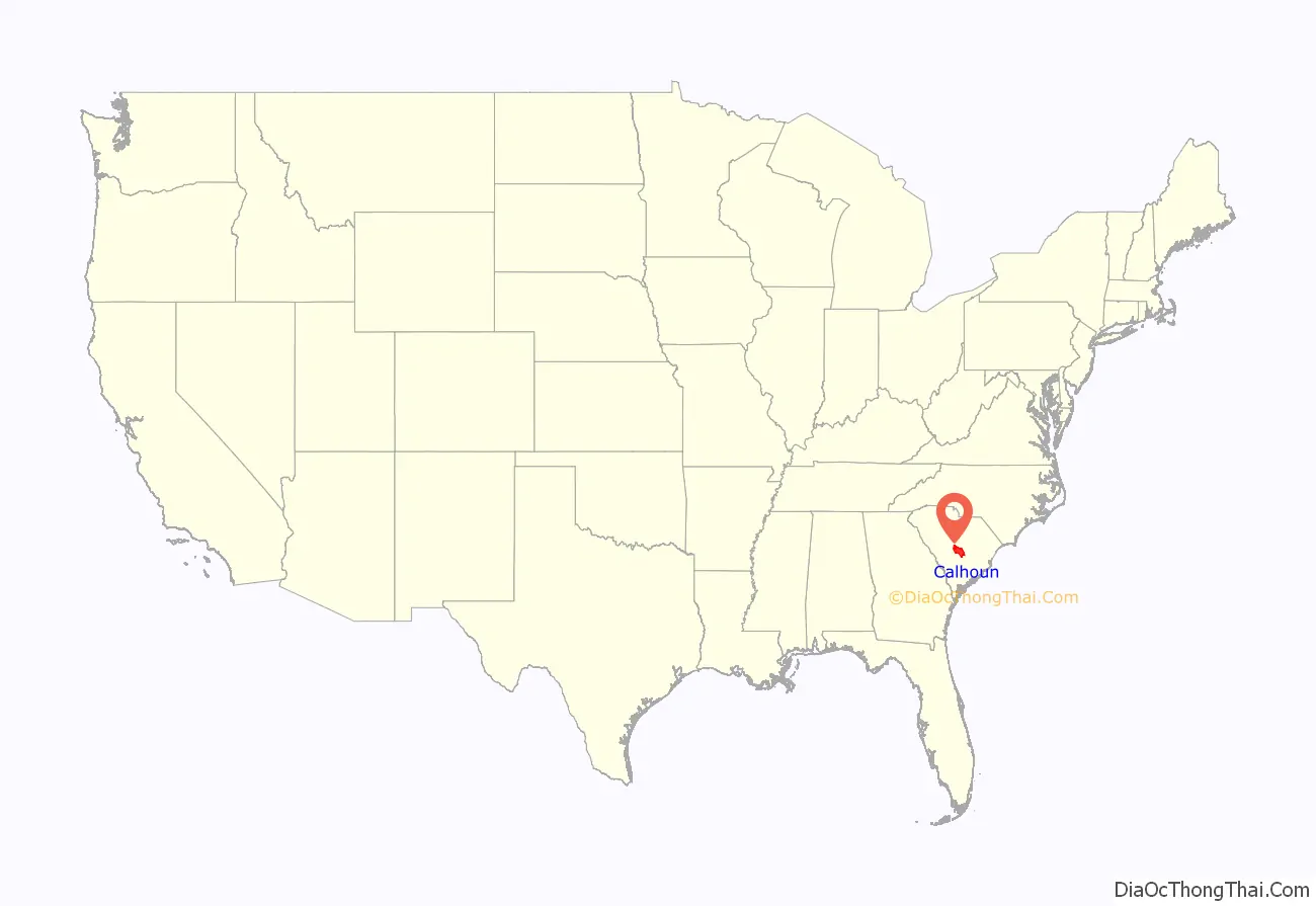
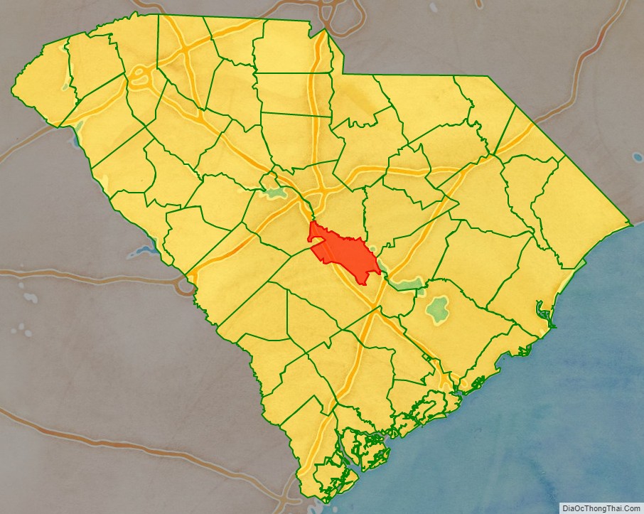
Calhoun County location map. Where is Calhoun County?
History
Calhoun County was home to the Congaree Tribe. As early as 1715 maps show them living in the region. As well, arrowheads and other artifacts continue to be found in lakes and near rivers.
During the American Revolutionary War, Calhoun County was home to the famous Siege of Fort Motte. The Fort Motte Battle Site is accessible today.
World famous Buck n’ Boar hunting club imports game from all over the world, and currently has the U.S.’ largest herd of pure Eurasian swine. In addition to Buck n’ Boar Calhoun County is home to many private hunting preserves.
As of 2011, Calhoun County contained an illegal dumping of an estimated 250,000 vehicle tires, a mound of tires so large it could reportedly be seen from space.
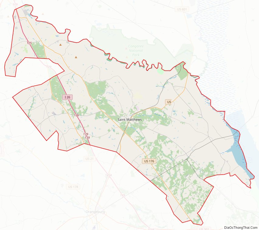
Calhoun County Road Map
Geography
According to the U.S. Census Bureau, the county has a total area of 392 square miles (1,020 km), of which 381 square miles (990 km) is land and 11 square miles (28 km) (2.9%) is water. It is the second-smallest county in South Carolina by land area and smallest by total area.
Calhoun County includes features such as Lake Marion, and the Congaree Bluffs, accessible publicly via the Congaree Bluffs Heritage Preserve.
Calhoun County borders Congaree National Park, the only Federally recognized Park which is a Swamp. Astonishing biodiversity exists in Congaree National Park, the largest intact expanse of old growth bottomland hardwood forest remaining in the southeastern United States. Waters from the Congaree and Wateree Rivers sweep through the floodplain, carrying nutrients and sediments that nourish and rejuvenate this ecosystem and support the growth of national and state champion trees. Although the park lies outside the boundaries of Calhoun County, much of the environment is similar.
The upper boundary for Calhoun County is the Congaree River.
State and local protected area
- Congaree Bluffs Heritage Preserve
Major water bodies
- Big Beaver Creek
- Branham Branch
- Congaree River
- Four Hole Swamp
- Lake Marion
- Little Limestone Creek
Adjacent counties
- Richland County – north
- Sumter County – northeast
- Clarendon County – east
- Orangeburg County – south
- Lexington County – northwest
Major highways
- I-26
- US 21
- US 176
- US 601
- SC 6
- SC 33
- SC 172
- SC 267
- SC 419
Calhoun County is part of the evacuation route for Hurricanes and coastal flooding. During such times there are lane reversals where interstate highway I-26 goes in one direction (northwest).
Calhoun County Topographic Map
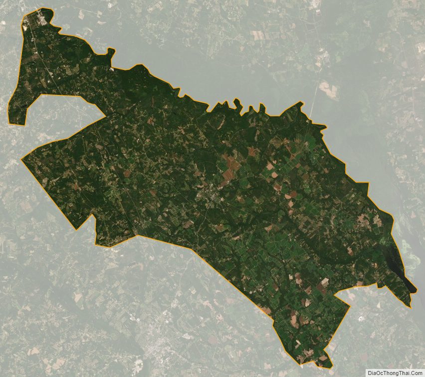
Calhoun County Satellite Map
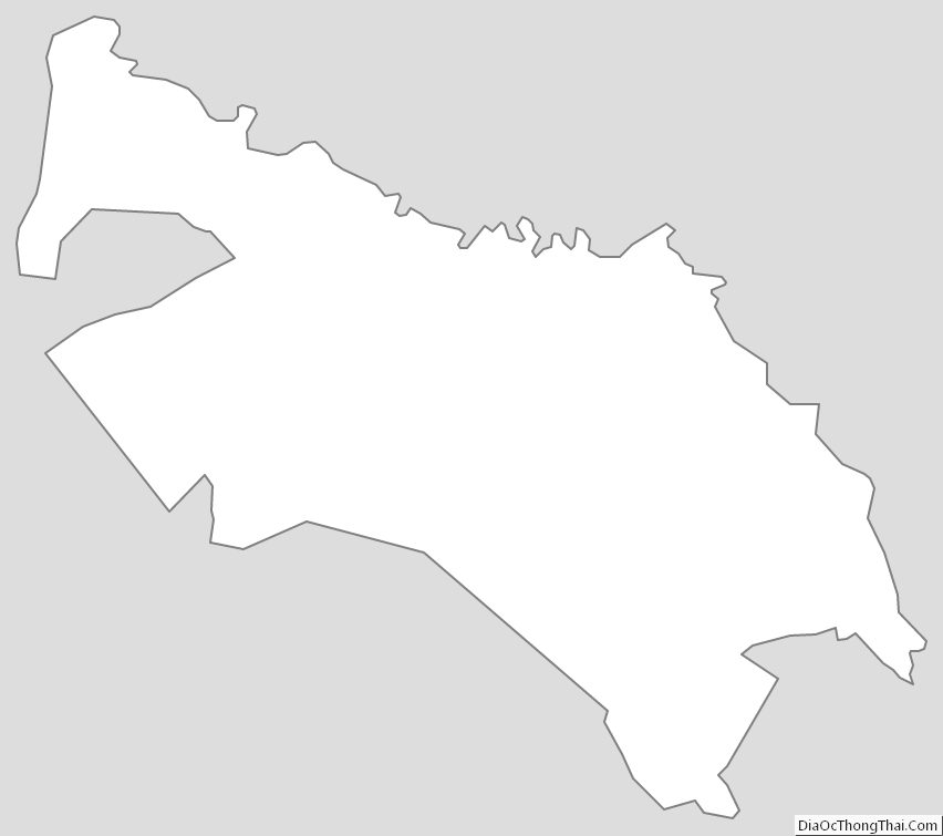
Calhoun County Outline Map