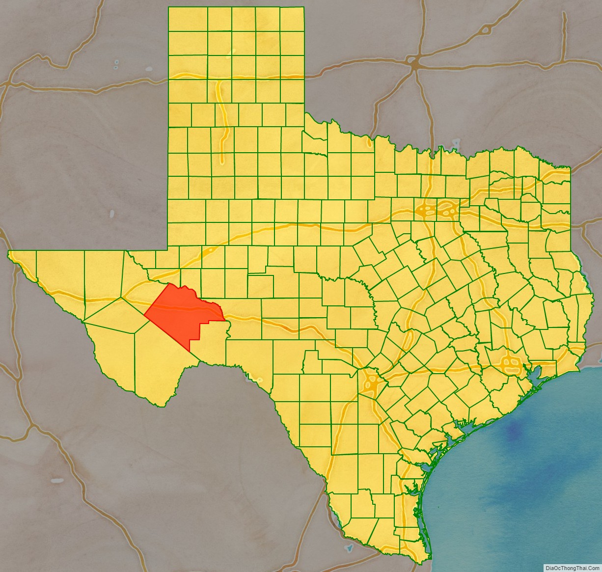
Pecos County is a county located in the U.S. state of Texas. As of the 2020 census, its population was 15,193. The county seat is Fort Stockton. The county was created in 1871 and organized in 1875. It is named for the Pecos River. It is one of the nine counties that comprise the Trans-Pecos region of West Texas.
| Name: | Pecos County |
|---|---|
| FIPS code: | 48-371 |
| State: | Texas |
| Founded: | 1875 |
| Named for: | Pecos River |
| Seat: | Fort Stockton |
| Largest city: | Fort Stockton |
| Total Area: | 4,765 sq mi (12,340 km²) |
| Land Area: | 4,764 sq mi (12,340 km²) |
| Total Population: | 15,193 |
| Population Density: | 3.2/sq mi (1.2/km²) |
| Time zone: | UTC−6 (Central) |
| Summer Time Zone (DST): | UTC−5 (CDT) |
| Website: | www.co.pecos.tx.us |
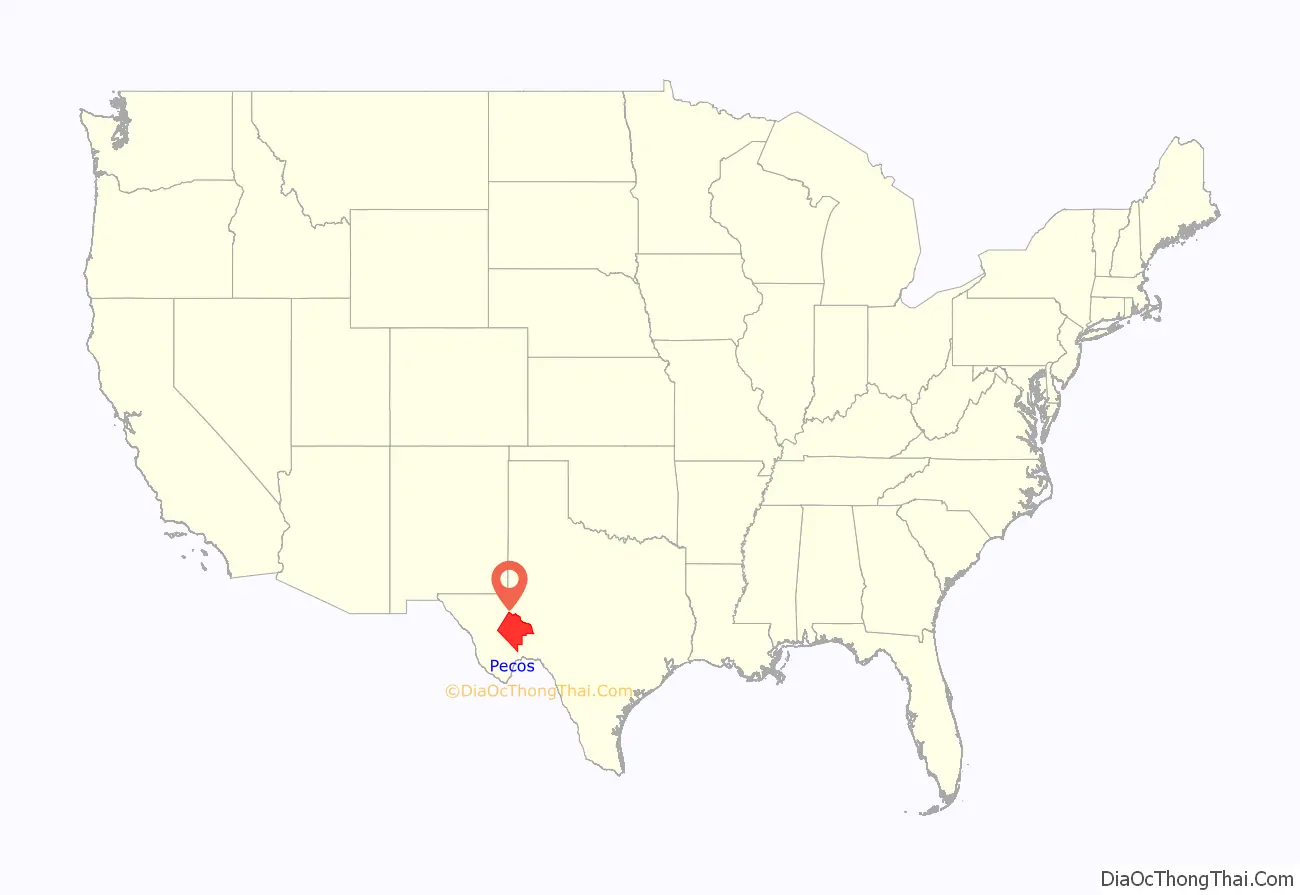
Pecos County location map. Where is Pecos County?
History
Native Americans
Archeological digs at Squawteat Peak uncovered prehistoric hunter-gatherer artifacts. Fourteen clusters of stones interpreted as wickiup and tipi rings indicate human habitation. A ring midden in the camp provided a radiocarbon date of 1300 AD. Archeological finds along Tunas Creek include a burial site, pictographs, and artifacts; one is a possible modified Langtry projectile point (2,000 BC to 700–800 AD).
Early routes
The Comanche Trail crossed Pecos County near Horsehead Crossing and through Comanche Springs. The Chihuahua Trail connecting Mexico’s state of Chihuahua with Santa Fe, New Mexico, brought travelers through the area by Comanche Springs about 1840.
A United States Army outpost, Fort Stockton, was established in 1858 at Comanche Springs to guard the San Antonio-El Paso Mail. That same year, the Butterfield Overland Mail began service to the army post.
County established and growth
The town of Fort Stockton began near the Fort Stockton army post at Comanche Springs as St. Gaul, Texas, but was renamed Fort Stockton in 1880. Pecos County was established by the Texas Legislature in 1871 originally out of Presidio County. In 1871, Pecos County was organized and St. Gaul was named the county seat. About 1,100 people were living in the county that year. By 1890, the county had 227 cattle and 150 sheep, and 1,300 acres (5.3 km) were planted in corn. By 1900, the area’s economy had become almost completely dominated by cattle and sheep ranching, though plots of wheat, rye, corn, and oats were grown. Around 1900, a small settlement known as Sheffield sprang up in eastern Pecos County on land owned by Will Sheffield; it served as a supply point for the surrounding ranches. In 1913, construction of the Kansas City, Mexico and Orient Railway across Pecos County caused a boom in land speculation and community growth, as did irrigation projects along the Pecos River. The town of Girvin, named for rancher John H. Girvin, grew around a train stop on the Kansas City, Mexico and Orient Railway that served as a cattle-shipping point. Construction of Texas State Highway 290 linking Fort Stockton to Big Bend National Park gave a boost to tourism. In the 1980s, the economy of Pecos County continued to be based on farming, ranching, oil and gas production, and tourism. The Yates Oil Field in Crockett County, Texas, and Pecos County in 1927 resulted in a financial boom period for the county. Towns such as Red Barn, Iraan (combination of the names Ira and Ann Yates), and Bakersfield rose up in response to oil-related employment opportunities. The population of the county more than doubled during the 1920s. Oil production helped to stabilize the local economy.
Alley Oop and Paisano Pete
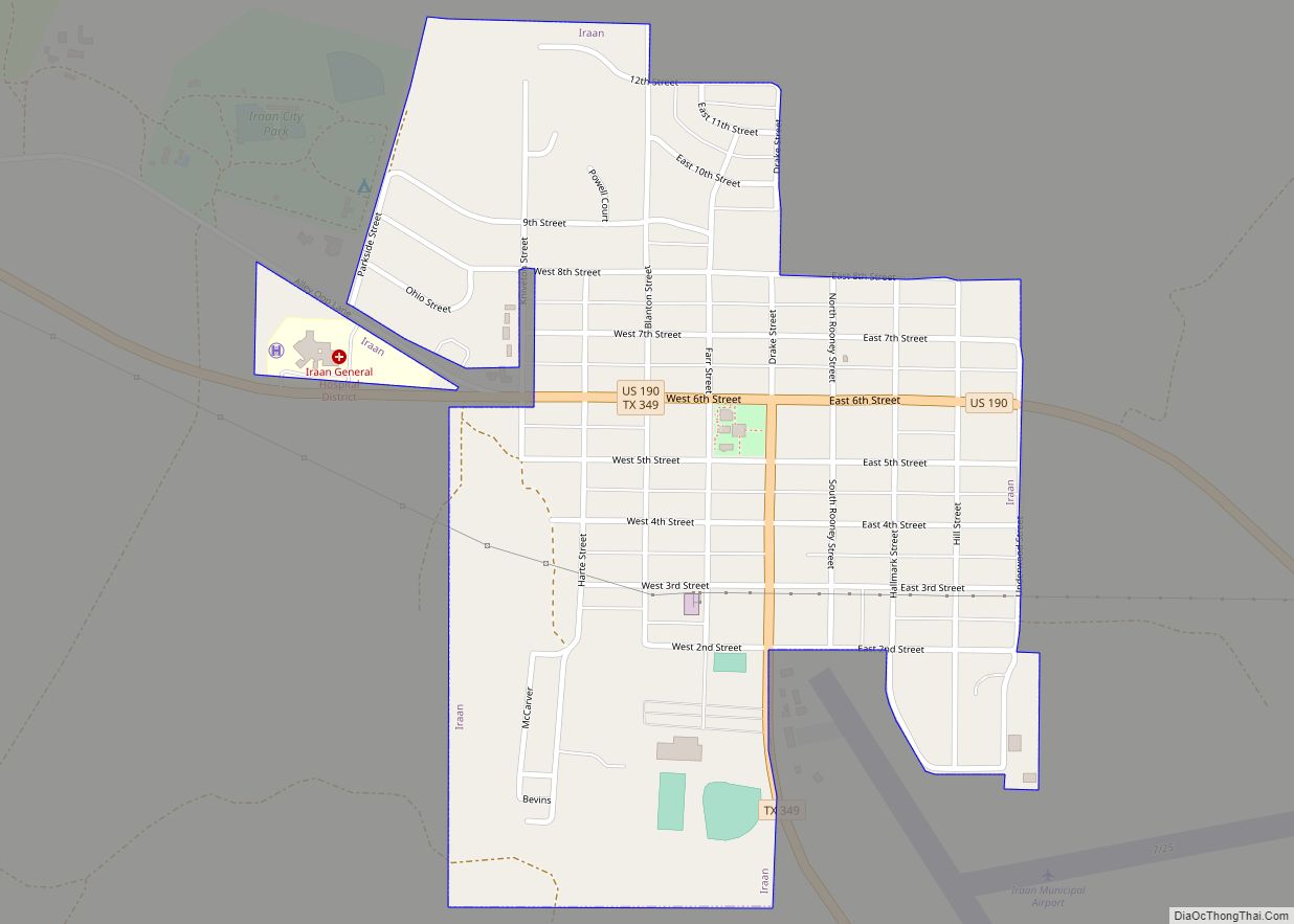
The town of Iraan, Texas, prides itself on being the birthplace of cartoon caveman Alley Oop, when creator V.T. Hamlin worked in the oilfields. Although first published in the Des Moines Register in 1932, Hamlin claimed to have originated the idea while he watched dinosaur bones being dug up by oil equipment. Visitors to Iraan can visit the Alley Oop Museum found on Alley Oop Lane. Fort Stockton pays tribute to the agile roadrunner with its Paisano Pete the Roadrunner statue.
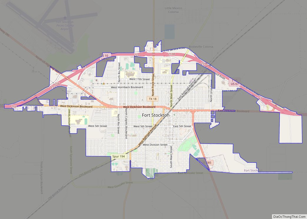
Pecos County Road Map
Geography
According to the U.S. Census Bureau, the county has a total area of 4,765 square miles (12,340 km), of which 1.0 square mile (2.6 km) (0.02%) is covered by water. It is the second-largest county by area in Texas.
Yates Oil Field
Pecos County is home to one of the largest oil fields in the United States, the Yates Oil Field, which is in the extreme eastern part of the county, along the Pecos River. The field covers about 41 sq mi (110 km) near the town of Iraan. Discovered in 1926, it has produced over a billion barrels of oil, and most industry estimates give it more than another billion in recoverable reserves. The Yates Oil Field was one of the first giant fields to be found in the Permian Basin.
Major highways
- Interstate 10
- U.S. Highway 67
- U.S. Highway 190
- U.S. Highway 285
- U.S. Highway 385
- State Highway 18
- State Highway 290
- State Highway 349
Adjacent counties
- Ward County (north)
- Crane County (north)
- Crockett County (east)
- Terrell County (south)
- Brewster County (south)
- Jeff Davis County (west and south)
- Reeves County (northwest)
