Crockett County is a county located on the Edwards Plateau in the U.S. state of Texas. As of the 2020 census, its population was 3,098. The county seat is Ozona. The county was founded in 1875 and later organized in 1891. It is named in honor of Davy Crockett, the legendary frontiersman who died at the Battle of the Alamo.
| Name: | Crockett County |
|---|---|
| FIPS code: | 48-105 |
| State: | Texas |
| Founded: | 1891 |
| Named for: | Davy Crockett |
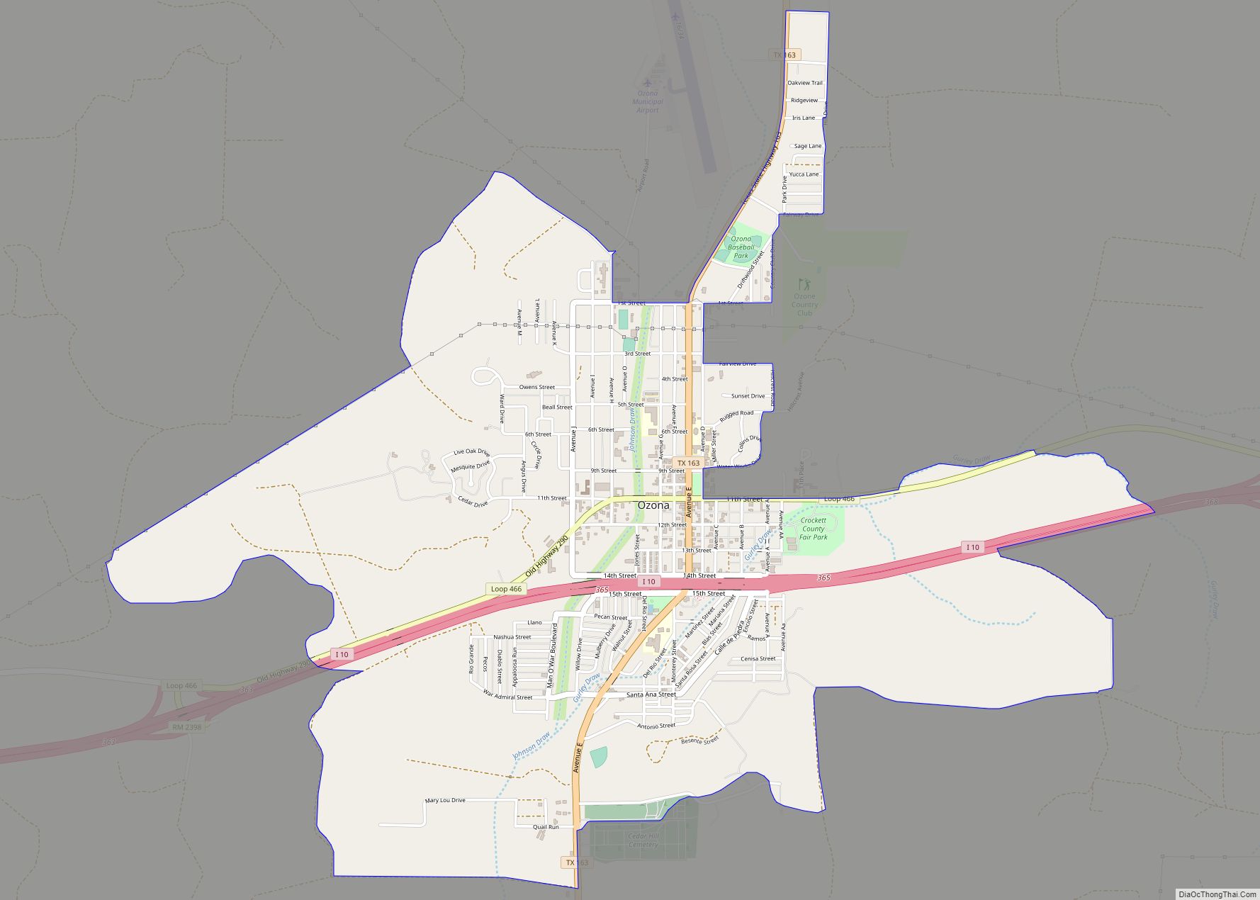
| Seat: | Ozona |
| Total Area: | 2,807 sq mi (7,270 km²) |
| Land Area: | 2,807 sq mi (7,270 km²) |
| Total Population: | 3,098 |
| Population Density: | 1.1/sq mi (0.43/km²) |
| Time zone: | UTC−6 (Central) |
| Summer Time Zone (DST): | UTC−5 (CDT) |
| Website: | www.co.crockett.tx.us |
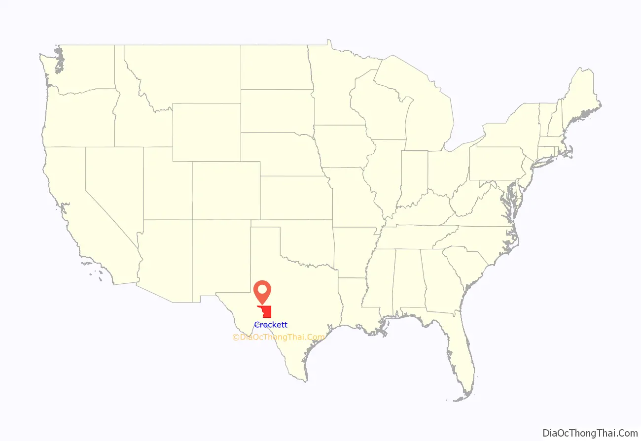
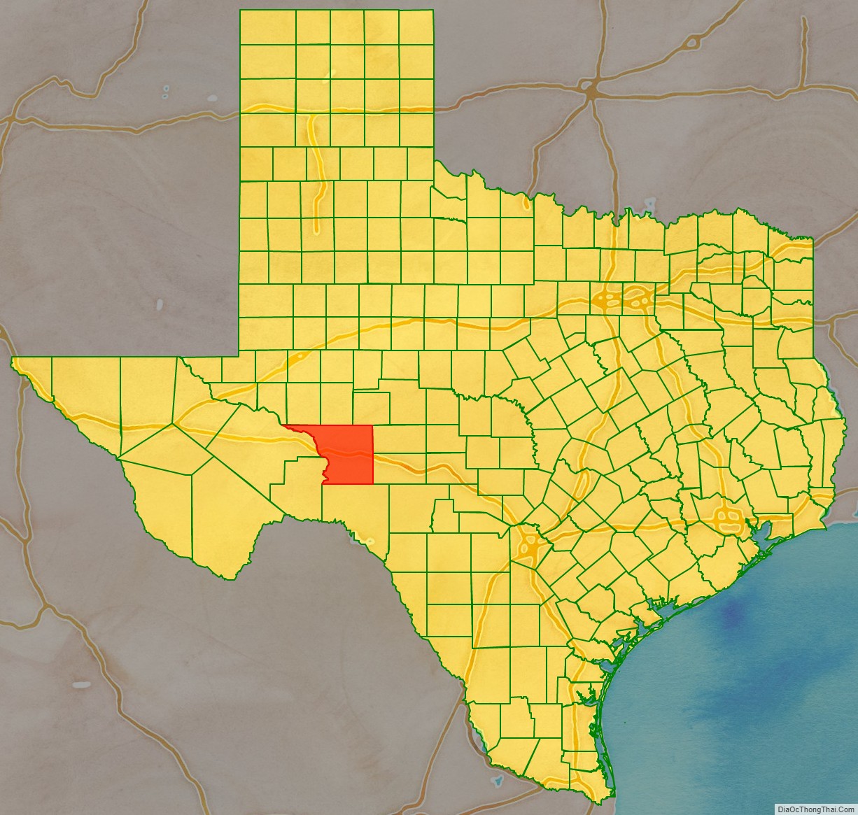
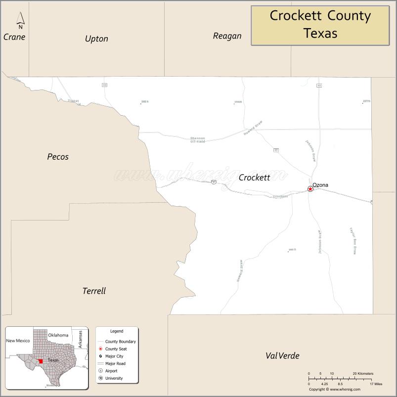
Crockett County location map. Where is Crockett County?
History
- Prehistoric people lived in Gobbler Shelter, located on a small tributary canyon of Live Oak Creek. Earliest known Native American tribes are Tonkawa, Lipan Apache, and Comanche.
- 1590 Spanish explorer Gaspar Castaño de Sosa leads a mining expedition of 170 who pass through the western section of Crockett County to reach the Pecos River.
- 1684, May 22 – Juan Domínguez de Mendoza and his expedition cross the Pecos River and camp at San Pantaleón.
- 1849 John Coffee Hays expedition charting waterholes for transporting people and freight.
- 1852 U. S. Army Colonel Joseph K. Mansfield recommends establishing a new post on Live Oak Creek to protect travelers.
- 1855, August 20, Fort Lancaster is established in response to Mansfield’s recommendation.
- 1866 The Texas legislature provides three battalions of Texas Rangers to protect settlers in the area.
- 1868 Camp Melvin established.
- 1875, January 12 – Crockett County, named for Davy Crockett, is formed from Bexar County.
- 1880s Sheep and cattle ranchers establish themselves in the county. Kirkpatrick Hotel built to serve stagecoach passengers and cowboys.
- 1885 W. P. Hoover becomes one of the first settlers, on the Pecos River. Crockett County becomes a subsidiary of Val Verde County.
- 1887 Crockett County is further reduced as Sutton and Schleicher counties are formed from it.
- 1889 Emerald becomes first town in Crockett County.
- 1891 Crockett County is organized. Ozona becomes the county seat. The first water well is drilled at the First Baptist Church in Ozona.
- 1900 Stagecoach service begins in Crockett County. County reports seven manufacturing firms.
- 1902 Crockett County Courthouse built, Empire style, architect Oscar Ruffini. The building does multiple duty for courtroom and county offices, as well as a community center and dance hall.
- 1925 First producing oil well within the World oil field, on L. P. Powell’s ranch in north central Crockett County, by Chester R. Bunker’s World Oil Company.
- 1938 Ozona erects a statue of Davy Crockett in the town square.
- 1939 Ozona opens the Crockett County Museum. In 1958, it was moved to its current location on the town square.
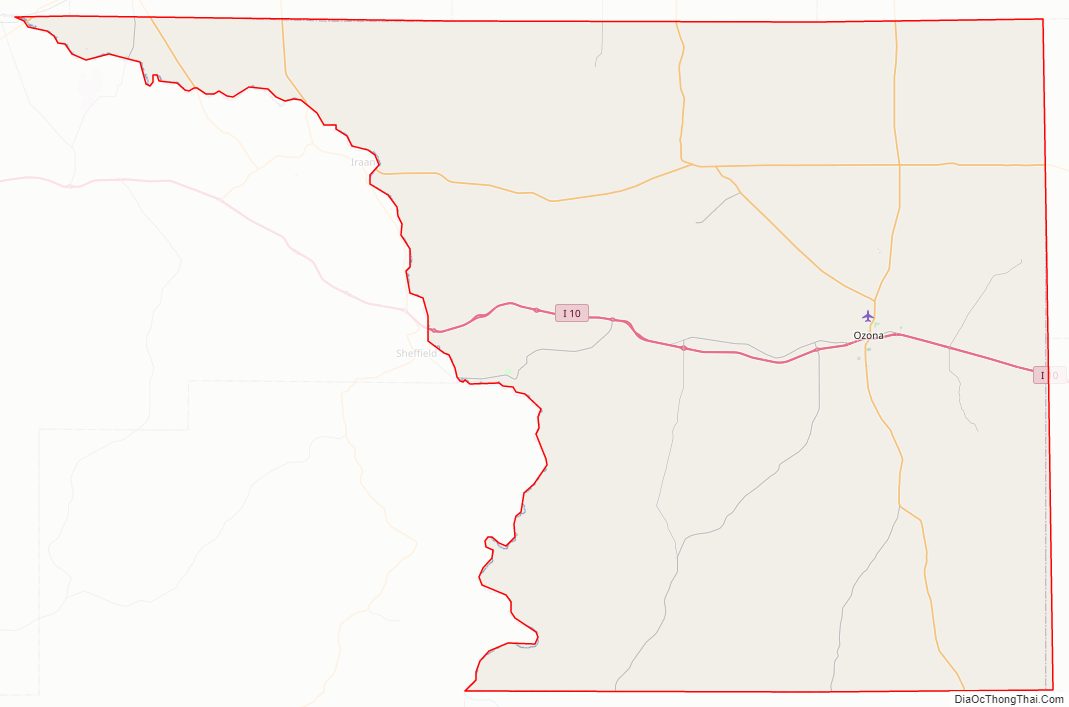
Crockett County Road Map
Geography
According to the U.S. Census Bureau, the county has a total area of 2,807 square miles (7,270 km), virtually all of which is land.
Major highways
- Interstate 10
- U.S. Highway 190
- State Highway 137
- State Highway 163
- State Highway 349
Adjacent counties
- Upton County (north)
- Reagan County (north)
- Irion County (northeast)
- Schleicher County (east)
- Sutton County (east)
- Val Verde County (south)
- Terrell County (south)
- Pecos County (west)
- Crane County (northwest)
Crockett County is among the few counties in the United States to border as many as nine counties.
Crockett County Topographic Map
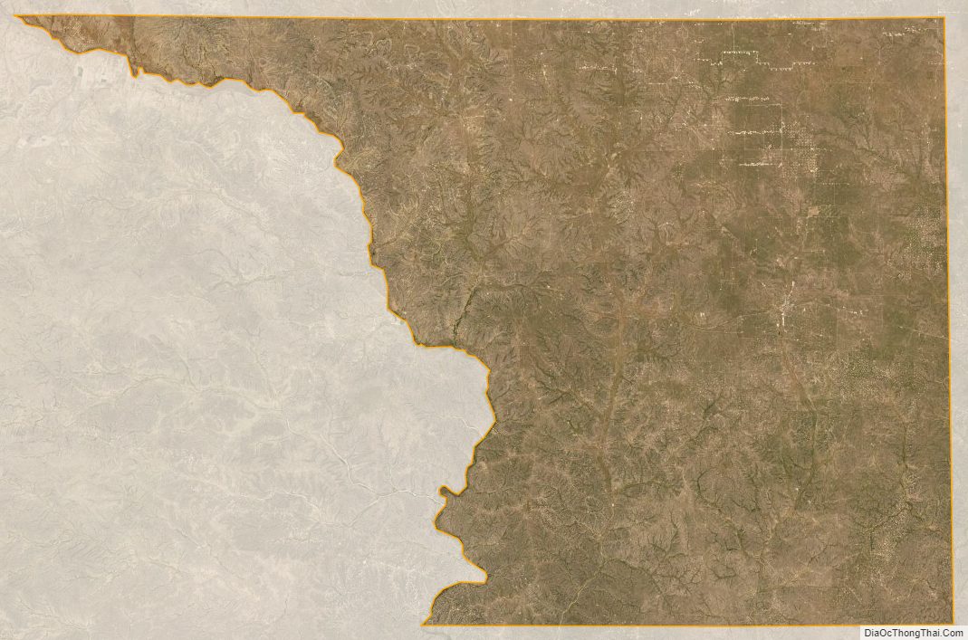
Crockett County Satellite Map
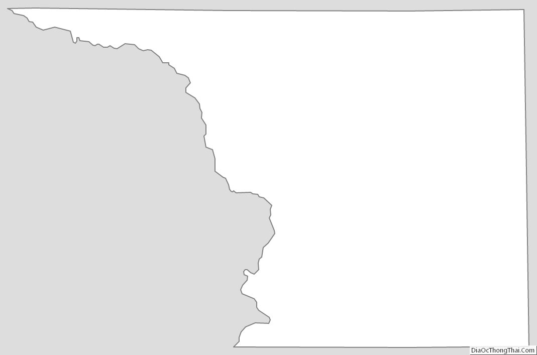
Crockett County Outline Map