Penobscot County is a county in the U.S. state of Maine, named for the Penobscot people in Wabanakik. As of the 2020 census, the population was 152,199. Its county seat is Bangor. The county was established on February 15, 1816, from part of Hancock County when the area was still part of Massachusetts. Penobscot County is home to the University of Maine.
Penobscot County comprises the Bangor, ME Metropolitan Statistical Area.
| Name: | Penobscot County |
|---|---|
| FIPS code: | 23-019 |
| State: | Maine |
| Founded: | 1816 |
| Named for: | Penobscot tribe |
| Seat: | Bangor |
| Largest city: | Bangor |
| Total Area: | 3,557 sq mi (9,210 km²) |
| Land Area: | 3,397 sq mi (8,800 km²) |
| Total Population: | 152,199 |
| Population Density: | 45/sq mi (17/km²) |
| Time zone: | UTC−5 (Eastern) |
| Summer Time Zone (DST): | UTC−4 (EDT) |
| Website: | www.penobscot-county.net |
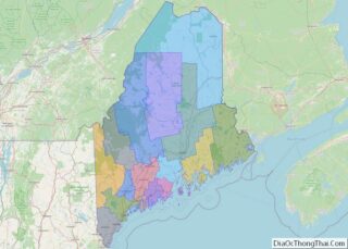
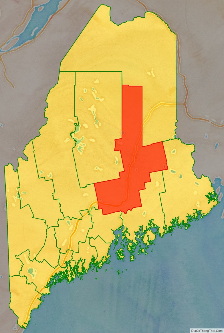
Penobscot County location map. Where is Penobscot County?

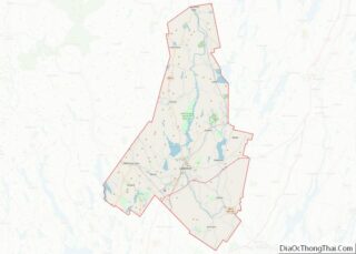
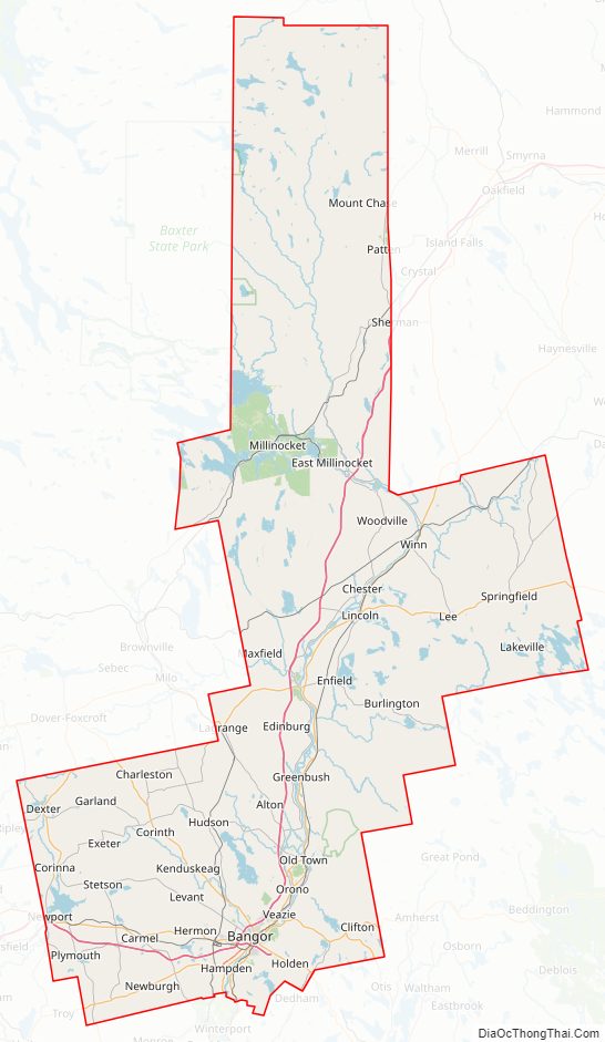
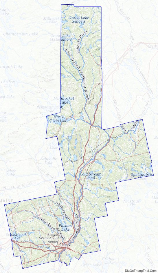
Penobscot County Road Map
Geography
According to the U.S. Census Bureau, the county has an area of 3,557 square miles (9,210 km), of which 3,397 square miles (8,800 km) is land and 160 square miles (410 km) (4.5%) is water. The county highpoint is East Turner Mountain at 2456 ft next to Baxter State Park.
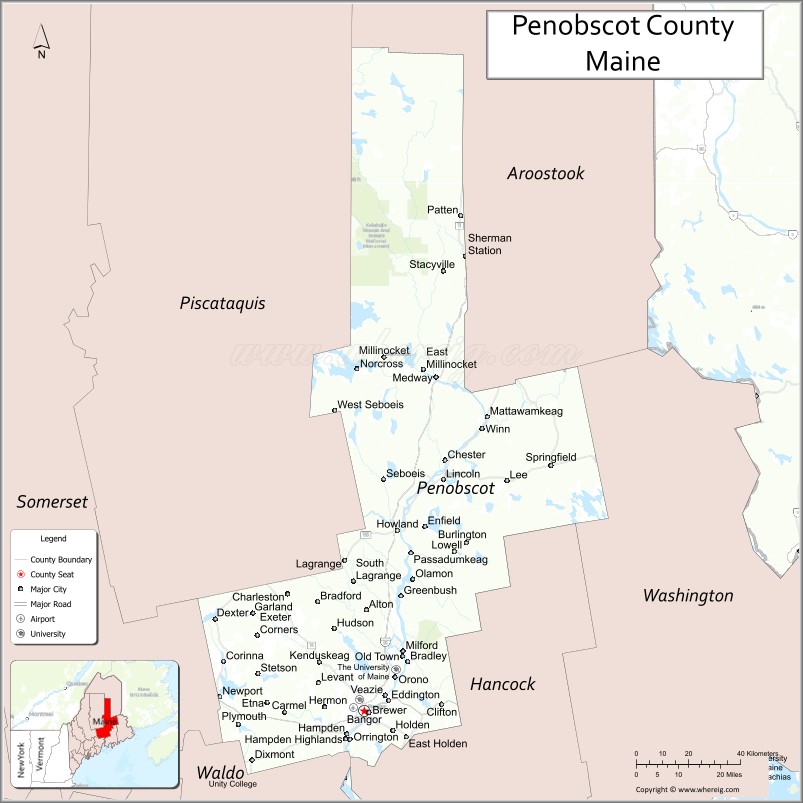
Adjacent counties
- Aroostook County – north
- Washington County – southeast
- Hancock County – south
- Waldo County – southwest
- Somerset County – west
- Piscataquis County – northwest
National protected area
- Sunkhaze Meadows National Wildlife Refuge
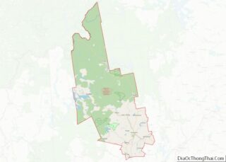
Penobscot County Topographic Map
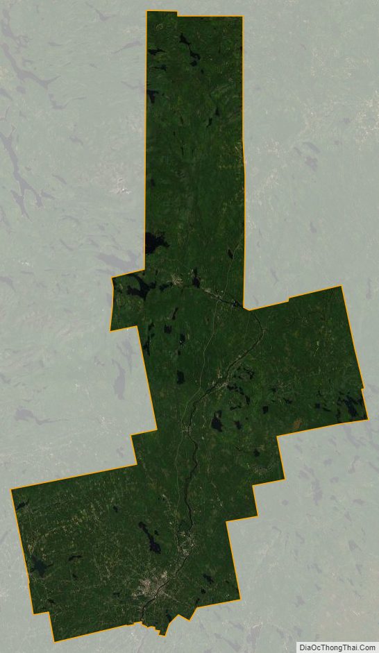
Penobscot County Satellite Map
Penobscot County Outline Map