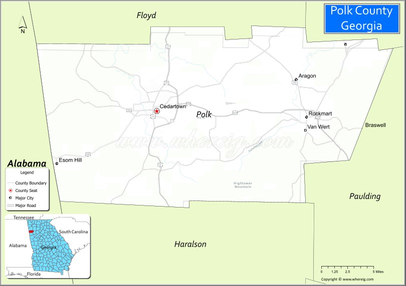
| Name: | Polk County |
|---|---|
| FIPS code: | 13-233 |
| State: | Georgia |
| Founded: | 1851 |
| Named for: | James K. Polk |
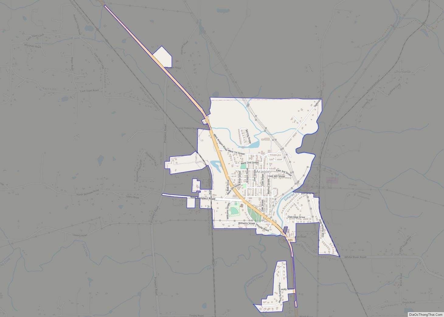
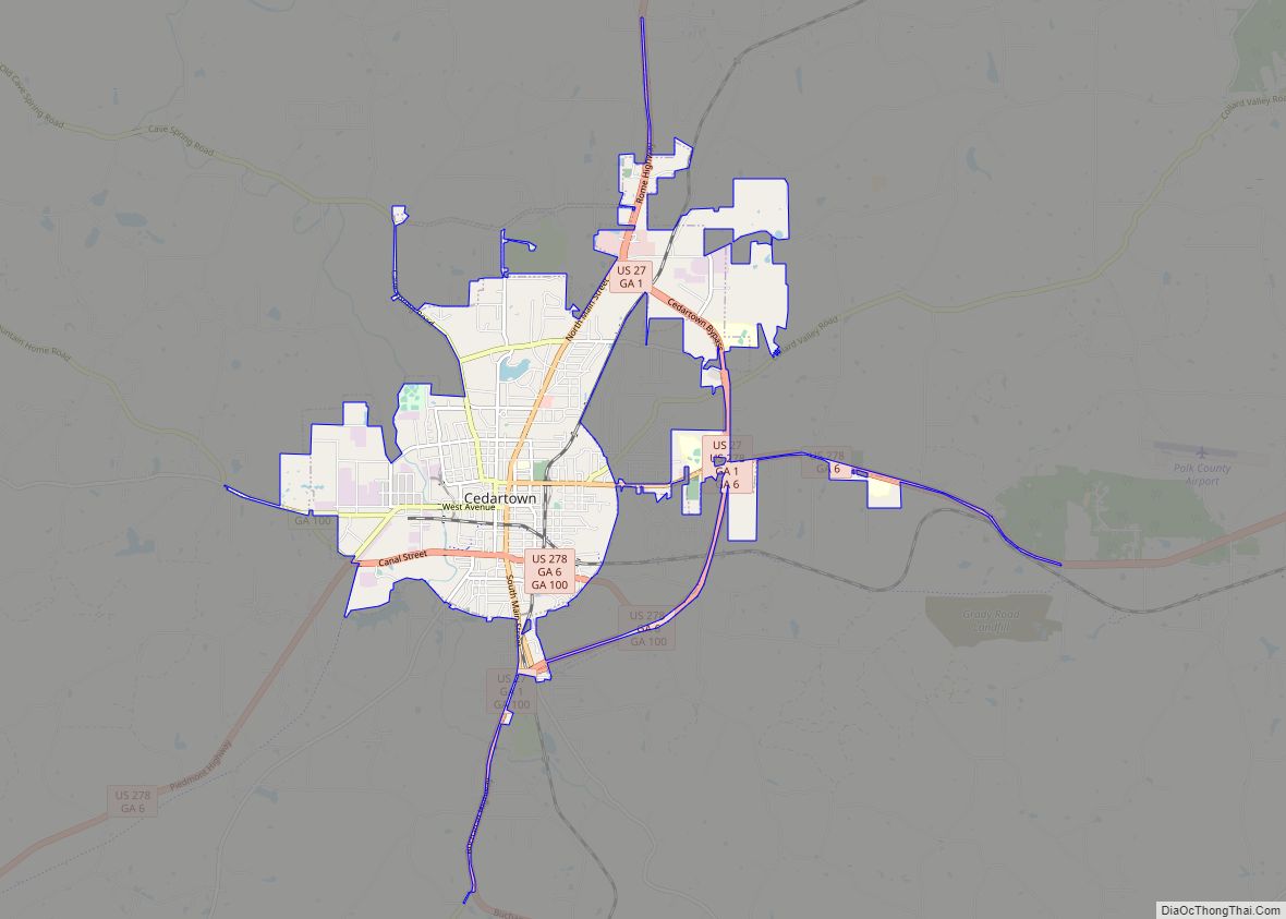
| Seat: | Cedartown |
| Largest city: | Cedartown |
| Total Area: | 312 sq mi (810 km²) |
| Land Area: | 310 sq mi (800 km²) |
| Total Population: | 42,853 |
| Population Density: | 138/sq mi (53/km²) |
| Time zone: | UTC−5 (Eastern) |
| Summer Time Zone (DST): | UTC−4 (EDT) |
| Website: | www.polkgeorgia.org |
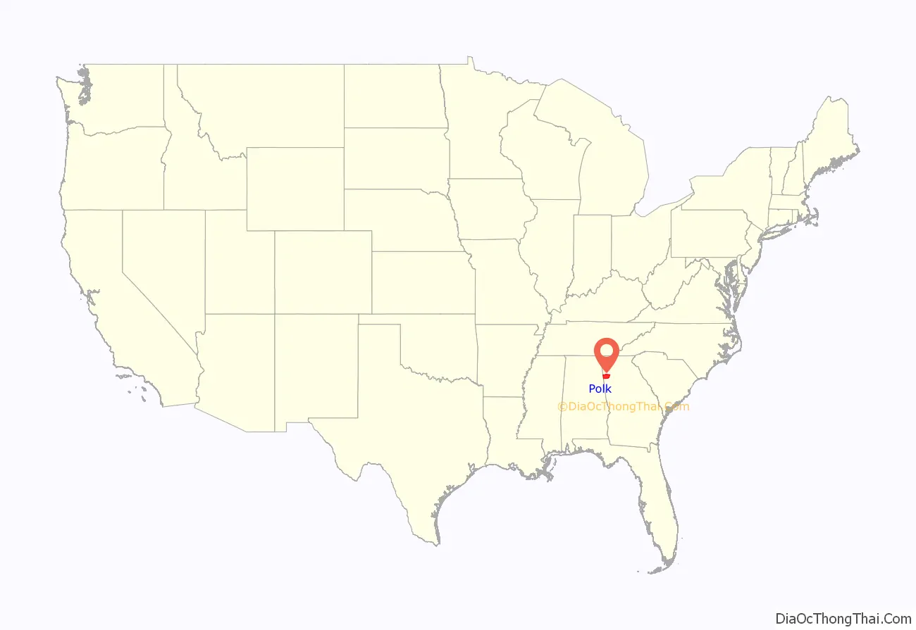
Polk County location map. Where is Polk County?
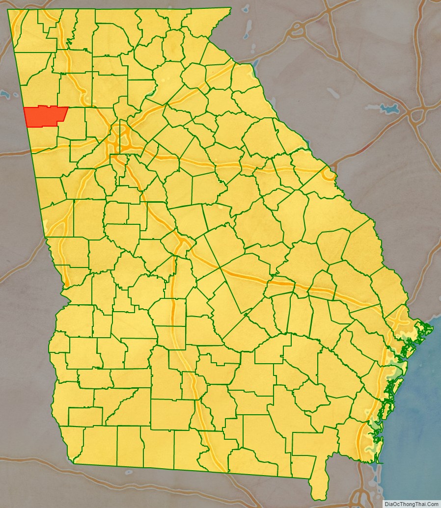
Polk County Road Map
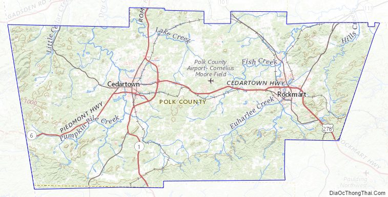
Geography
According to the U.S. Census Bureau, the county has a total area of 312 square miles (810 km), of which 310 square miles (800 km) is land and 1.8 square miles (4.7 km) (0.6%) is water.
Most of eastern Polk County, centered on Rockmart, is located in the Etowah River sub-basin of the ACT River Basin (Alabama-Coosa-Tallapoosa River Basin), while most of western Polk County, centered on Cedartown, is located in the Upper Coosa River sub-basin of the same ACT River Basin. Small slivers of the southern edges of the county are located in the Upper Tallapoosa River sub-basin of the same larger ACT River Basin.
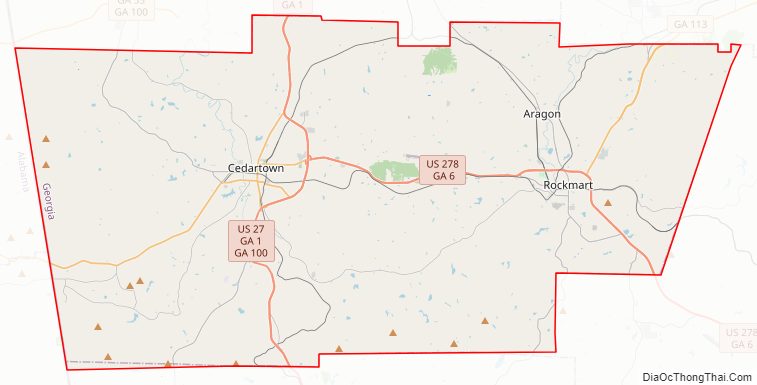
Major highways
- U.S. Route 27
U.S. Route 27 Business- U.S. Route 278
U.S. Route 278 Business- State Route 1
- State Route 1 Business
- State Route 6
- State Route 6 Business
- State Route 100
- State Route 101
- State Route 113
Adjacent counties
- Floyd County – north
- Bartow County – northeast
- Paulding County – east
- Haralson County – south
- Cleburne County, Alabama – southwest
- Cherokee County, Alabama – west
Polk County Topographic Map
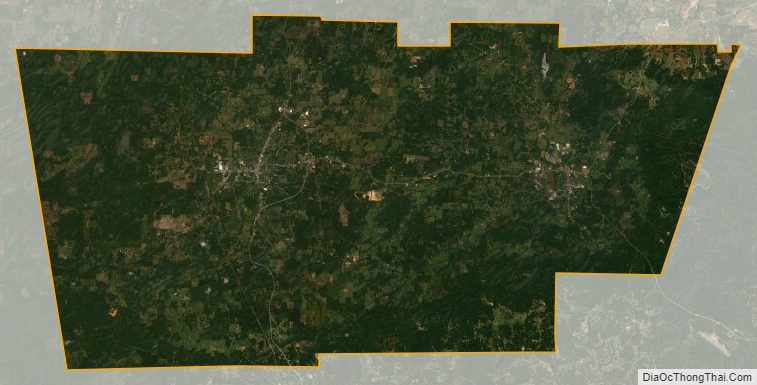
Polk County Satellite Map
Polk County Outline Map