Cedartown is a city and the county seat of Polk County, Georgia. As of the 2020 census, the city had a population of 10,190. Cedartown is the principal city of and is included in the Cedartown, Georgia Micropolitan Statistical Area, which is included in the Atlanta-Sandy Springs–Gainesville, Georgia–Alabama (part) Combined Statistical Area.
The Cedartown Commercial Historic District is listed on the National Register of Historic Places. The Cedartown Waterworks-Woman’s Building-Big Spring Park Historic District is also listed along with the Northwest Cedartown Historic District and South Philpot Street Historic District.
| Name: | Cedartown city |
|---|---|
| LSAD Code: | 25 |
| LSAD Description: | city (suffix) |
| State: | Georgia |
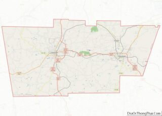
| County: | Polk County |
| Elevation: | 840 ft (260 m) |
| Total Area: | 9.16 sq mi (23.72 km²) |
| Land Area: | 9.13 sq mi (23.65 km²) |
| Water Area: | 0.03 sq mi (0.08 km²) |
| Total Population: | 10,190 |
| Population Density: | 1,116.22/sq mi (430.96/km²) |
| ZIP code: | 30125 |
| Area code: | 770/678/470 |
| FIPS code: | 1314500 |
| GNISfeature ID: | 0312503 |
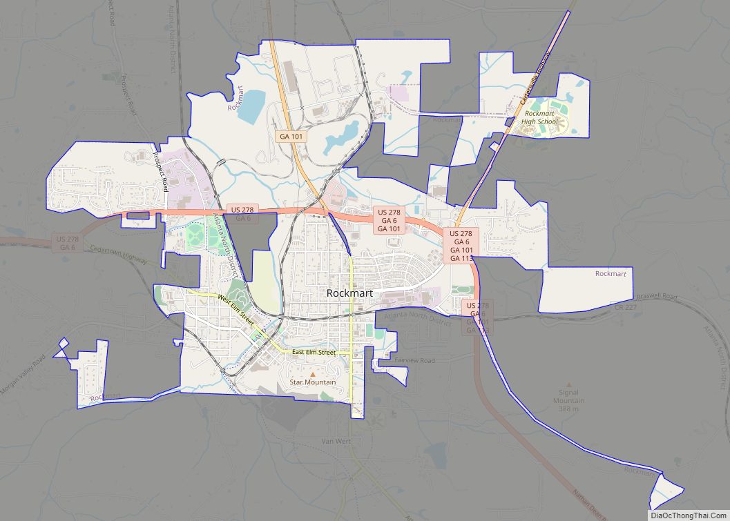
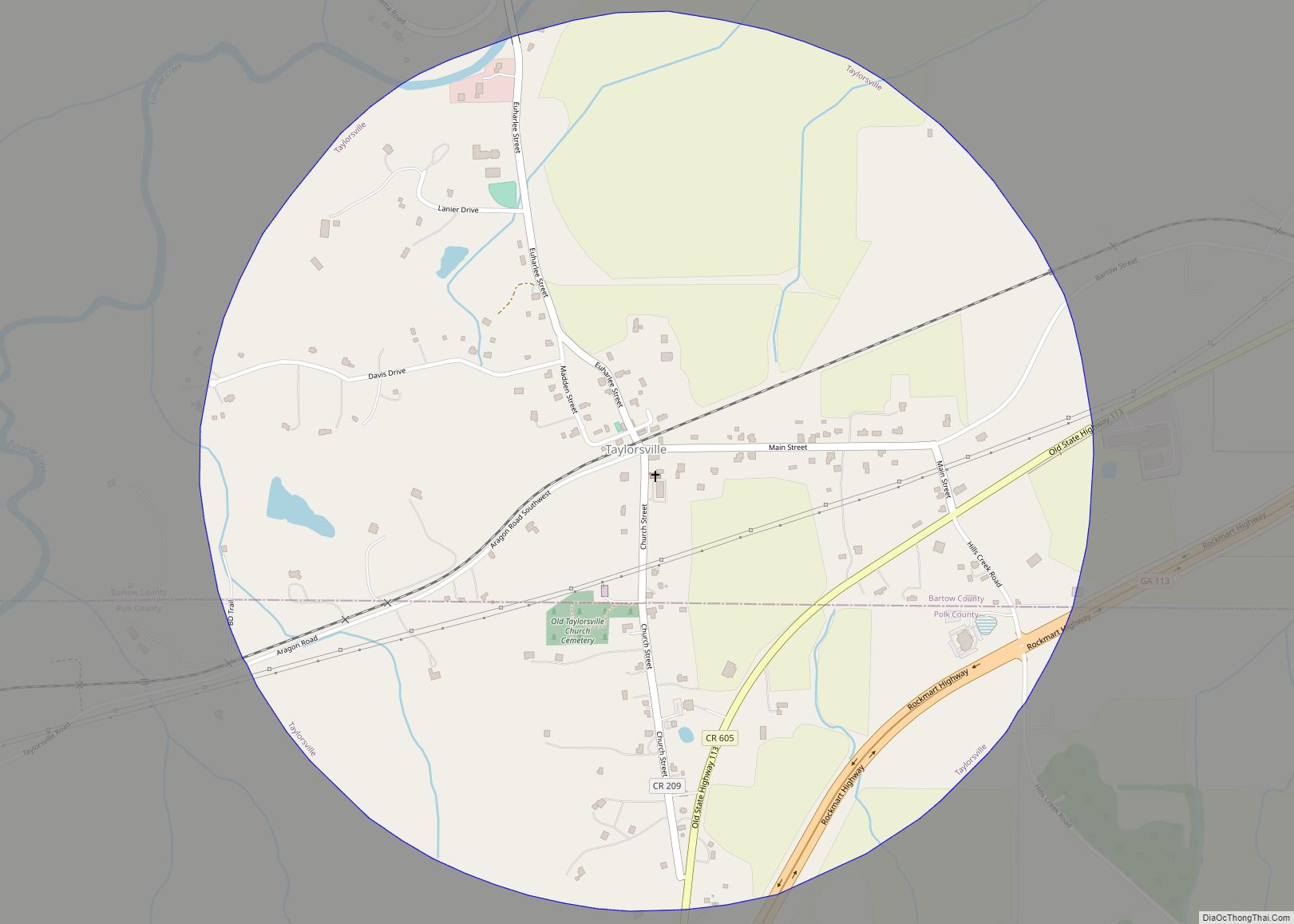
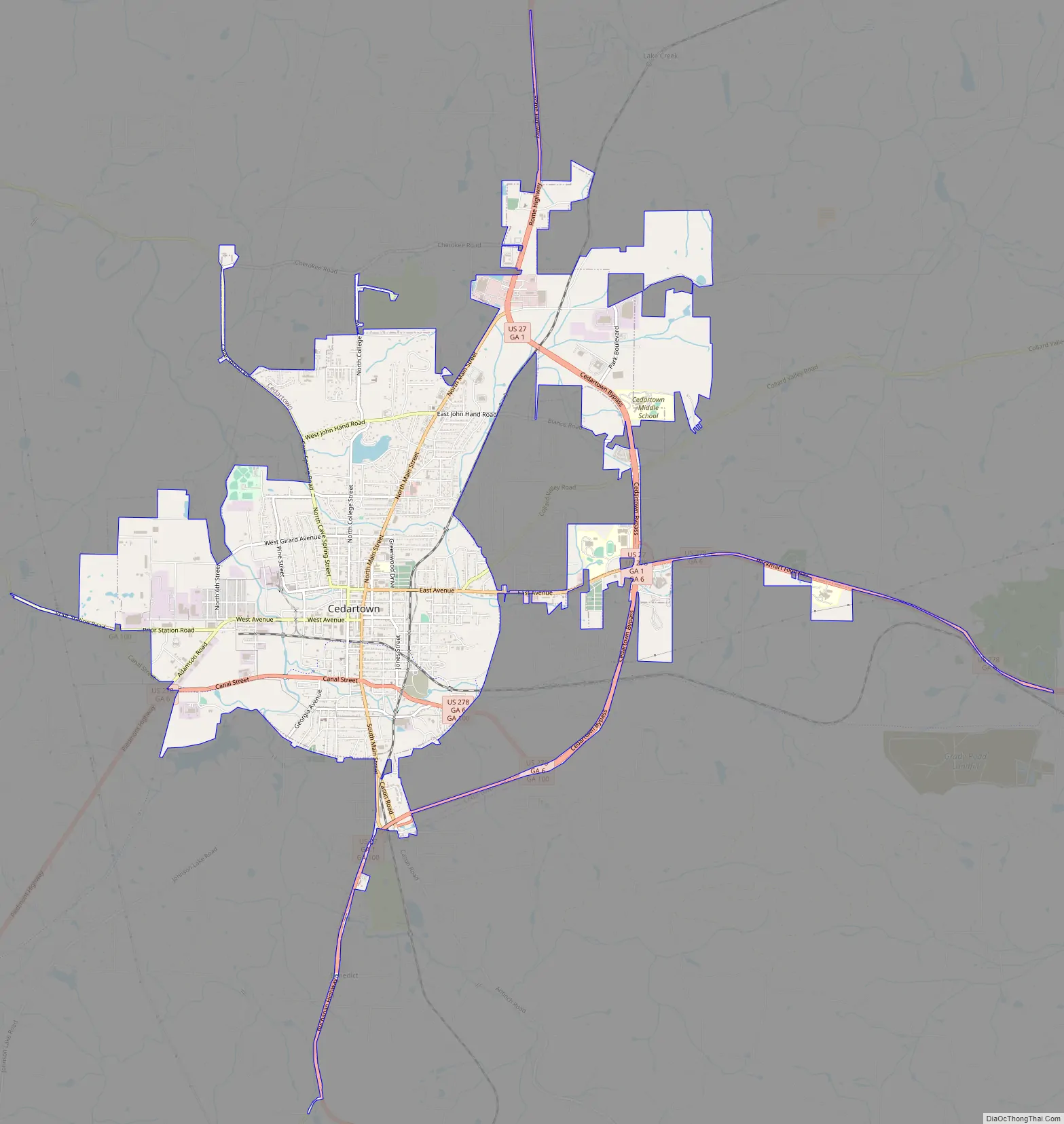
Online Interactive Map
Click on ![]() to view map in "full screen" mode.
to view map in "full screen" mode.
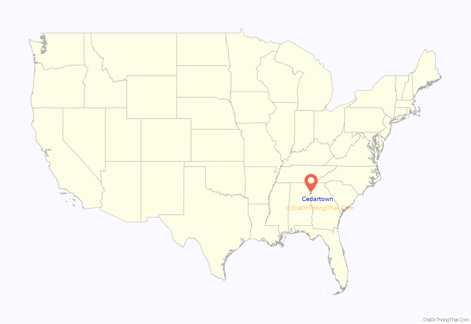
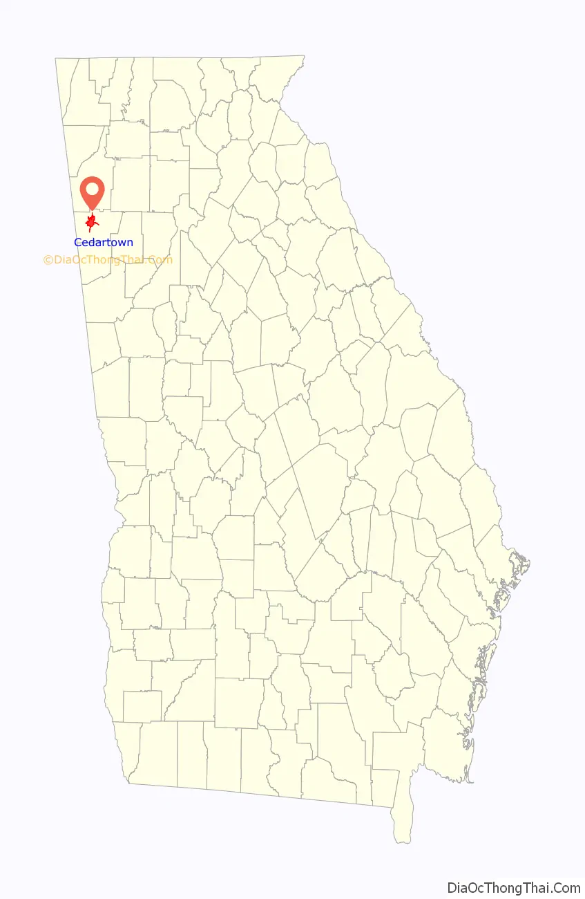
Cedartown location map. Where is Cedartown city?
History
Cherokee and Creek Native Americans first inhabited the area known as Cedar Valley. The Cherokee people had established a village there in the 1830s after the Native Americans were forced out on the Trail of Tears. The settlement was named for the red cedar timber near the site.
The most famous of these settlers was Asa Prior. According to local legend, the water rights to Big Spring were won for the white settlers by a local white boy in a footrace with a Cherokee youth. Some versions of the legend differ, saying that the rights to the spring were won by the Cherokee people from the Creek people in a ball game. “Big Strickland” became “Cedar Town” when Prior deeded ten acres of adjacent land to the newly chartered city in 1852. Van Wert (a mile from present day Rockmart) was the original county seat and Cedar Town became the county seat later.
During the Civil War, Cedar Town was abandoned by most of its citizens when Union troops encroached. The city was burnt to the ground by the Union forces of General Hugh Judson Kilpatrick in 1865, leaving only one mill standing on the outskirts of town.
In 1867, the town was re-chartered by the state of Georgia as Cedartown. An influx of industrial business bolstered its largely cotton-based economy, with Goodyear and other fabric mills and iron works appearing in or near what is now the Cedartown Industrial Park on the west side of town.
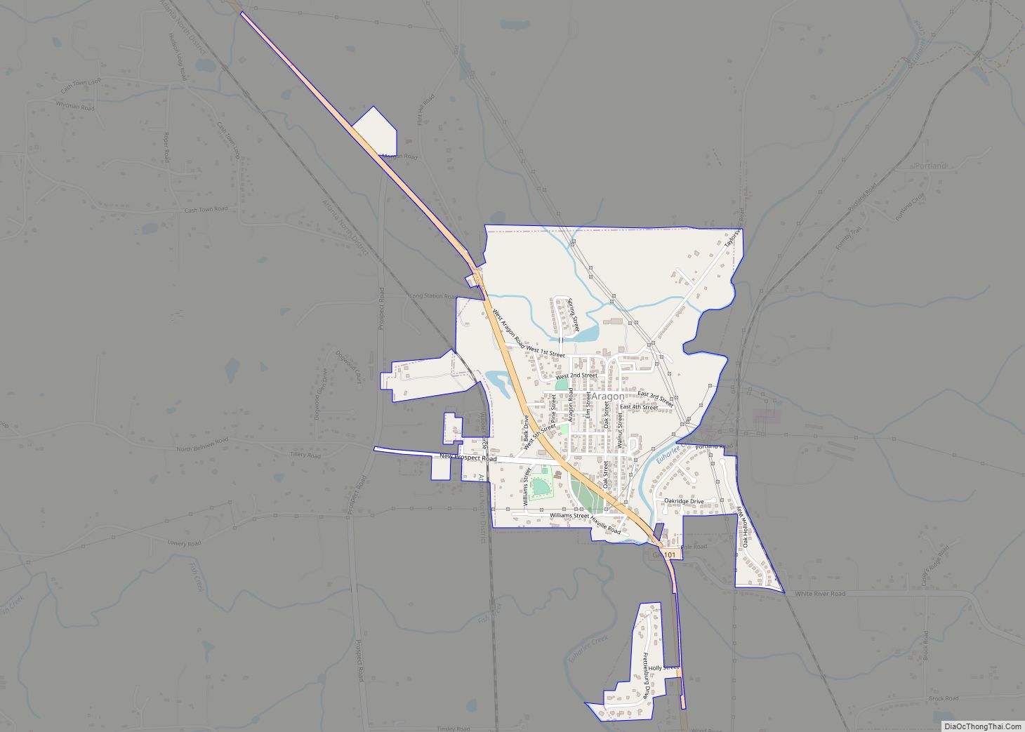
Industrial and passenger railroad service was added to Cedartown in the early 20th century. Main St. became a part of U.S. Route 27, a major north–south automobile route that connects Cedartown to larger cities like Chattanooga, Tennessee and Columbus, Georgia. U.S. 27 also intersects in town with U.S. Route 278, which connects Cedartown with Atlanta.
The Goodyear Tire and Rubber Company built a large textile mill operation in Cedartown, and also built a large residential section of town for mill workers, now known as the Goodyear Village.
In recent times, the Georgia Rails to Trails project has converted much of the former Seaboard Air Line into the Silver Comet Trail, a federal and state funded park that connects many cities in northwest Georgia. The former Seaboard Air Line, now CSXT, tracks are still in place and used between Rockmart and Cedartown, to serve rail customers in both cities, connecting with the former L&N line in Cartersville, Ga on a former SAL branchline, that now serves a Georgia Power plant with Wyoming coal.
Cedartown’s Main Street is listed in the National Register of Historic Places in recognition of its 1890s architecture. During the 1970s, many structures were demolished, including train stations, churches, and a high school, and a theater on Main Street.
In January 2017, the Polk County Comprehensive Plan outlined investments to be made in the repair and construction of new sidewalks, street parks, and paving in Cedartown over the next decade.
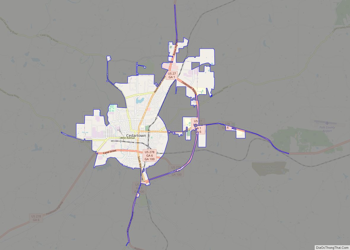
Cedartown Road Map
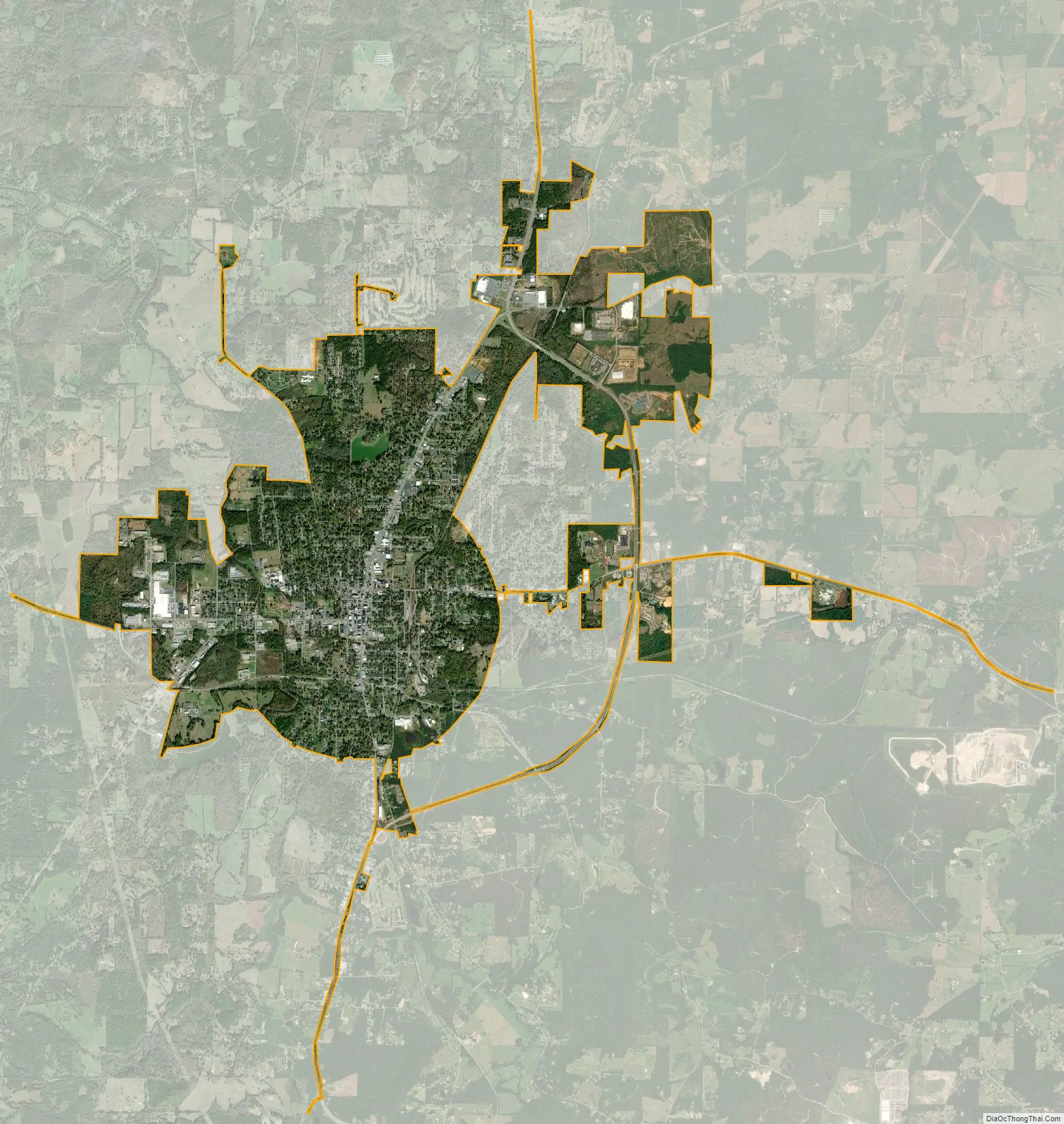
Cedartown city Satellite Map
Geography
According to the U.S. Census Bureau, Cedartown has a total area of 6.9 square miles (18 km), of which 6.8 square miles (18 km) is land and 0.04 square miles (0.10 km) (0.44%) is water.
Many major highways pass through the city, namely U.S. Routes 27 and 278, as well as Georgia State Route 100. U.S. 27 runs from south to north to the east of the city, leading north 19 mi (31 km) to Rome and south 17 mi (27 km) to Buchanan. U.S. 278 runs through the main part of town from west to east, leading east 14 mi (23 km) to Rockmart and southwest 25 mi (40 km) to Piedmont, Alabama. GA-100 runs from south to north through the center of town as well, leading northwest 12 mi (19 km) to Cave Spring and south 21 mi (34 km) to Tallapoosa.
Climate
Cedartown has a humid subtropical climate (Köppen climate classification Cfa), with mild winters and hot, humid summers.
See also
Map of Georgia State and its subdivision:- Appling
- Atkinson
- Bacon
- Baker
- Baldwin
- Banks
- Barrow
- Bartow
- Ben Hill
- Berrien
- Bibb
- Bleckley
- Brantley
- Brooks
- Bryan
- Bulloch
- Burke
- Butts
- Calhoun
- Camden
- Candler
- Carroll
- Catoosa
- Charlton
- Chatham
- Chattahoochee
- Chattooga
- Cherokee
- Clarke
- Clay
- Clayton
- Clinch
- Cobb
- Coffee
- Colquitt
- Columbia
- Cook
- Coweta
- Crawford
- Crisp
- Dade
- Dawson
- Decatur
- DeKalb
- Dodge
- Dooly
- Dougherty
- Douglas
- Early
- Echols
- Effingham
- Elbert
- Emanuel
- Evans
- Fannin
- Fayette
- Floyd
- Forsyth
- Franklin
- Fulton
- Gilmer
- Glascock
- Glynn
- Gordon
- Grady
- Greene
- Gwinnett
- Habersham
- Hall
- Hancock
- Haralson
- Harris
- Hart
- Heard
- Henry
- Houston
- Irwin
- Jackson
- Jasper
- Jeff Davis
- Jefferson
- Jenkins
- Johnson
- Jones
- Lamar
- Lanier
- Laurens
- Lee
- Liberty
- Lincoln
- Long
- Lowndes
- Lumpkin
- Macon
- Madison
- Marion
- McDuffie
- McIntosh
- Meriwether
- Miller
- Mitchell
- Monroe
- Montgomery
- Morgan
- Murray
- Muscogee
- Newton
- Oconee
- Oglethorpe
- Paulding
- Peach
- Pickens
- Pierce
- Pike
- Polk
- Pulaski
- Putnam
- Quitman
- Rabun
- Randolph
- Richmond
- Rockdale
- Schley
- Screven
- Seminole
- Spalding
- Stephens
- Stewart
- Sumter
- Talbot
- Taliaferro
- Tattnall
- Taylor
- Telfair
- Terrell
- Thomas
- Tift
- Toombs
- Towns
- Treutlen
- Troup
- Turner
- Twiggs
- Union
- Upson
- Walker
- Walton
- Ware
- Warren
- Washington
- Wayne
- Webster
- Wheeler
- White
- Whitfield
- Wilcox
- Wilkes
- Wilkinson
- Worth
- Alabama
- Alaska
- Arizona
- Arkansas
- California
- Colorado
- Connecticut
- Delaware
- District of Columbia
- Florida
- Georgia
- Hawaii
- Idaho
- Illinois
- Indiana
- Iowa
- Kansas
- Kentucky
- Louisiana
- Maine
- Maryland
- Massachusetts
- Michigan
- Minnesota
- Mississippi
- Missouri
- Montana
- Nebraska
- Nevada
- New Hampshire
- New Jersey
- New Mexico
- New York
- North Carolina
- North Dakota
- Ohio
- Oklahoma
- Oregon
- Pennsylvania
- Rhode Island
- South Carolina
- South Dakota
- Tennessee
- Texas
- Utah
- Vermont
- Virginia
- Washington
- West Virginia
- Wisconsin
- Wyoming