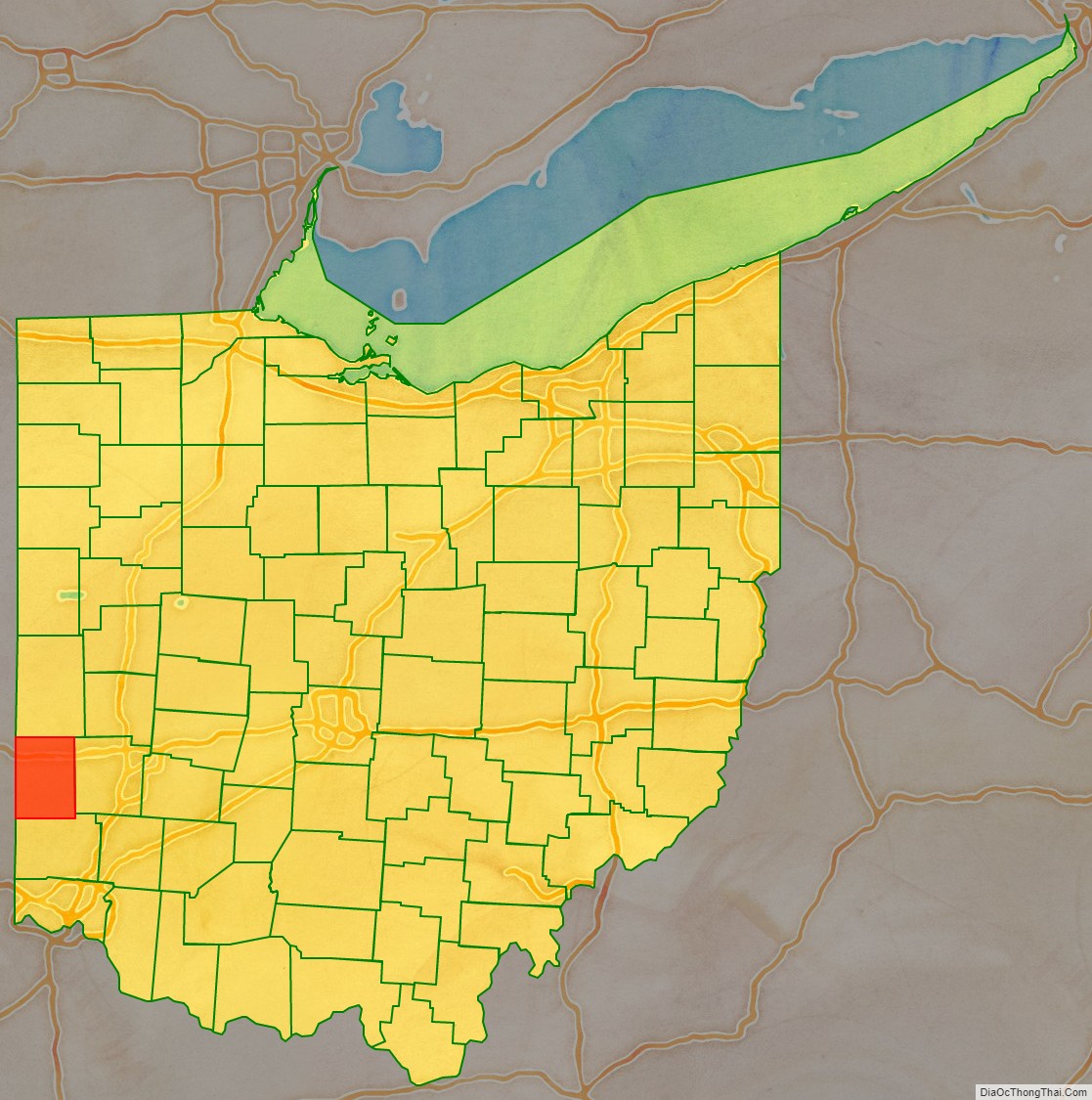
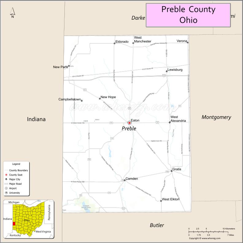
Preble County is a county located in the U.S. state of Ohio. As of the 2020 census, the population was 40,999, down 3.0% from the 2010 census population of 42,270. Its county seat is Eaton. The county was formed on February 15, 1808, from portions of Butler and Montgomery Counties. It is named for Edward Preble, a naval officer who fought in the American Revolutionary War and against the Barbary Pirates.
| Name: | Preble County |
|---|---|
| FIPS code: | 39-135 |
| State: | Ohio |
| Founded: | March 1, 1808 |
| Named for: | Edward Preble |
| Seat: | Eaton |
| Largest city: | Eaton |
| Total Area: | 426 sq mi (1,100 km²) |
| Land Area: | 424 sq mi (1,100 km²) |
| Total Population: | 40,999 |
| Population Density: | 96/sq mi (37/km²) |
| Time zone: | UTC−5 (Eastern) |
| Summer Time Zone (DST): | UTC−4 (EDT) |
| Website: | www.prebco.org |
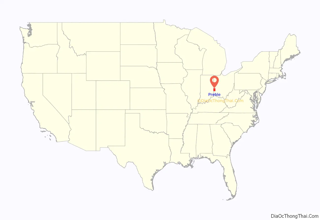
Preble County location map. Where is Preble County?
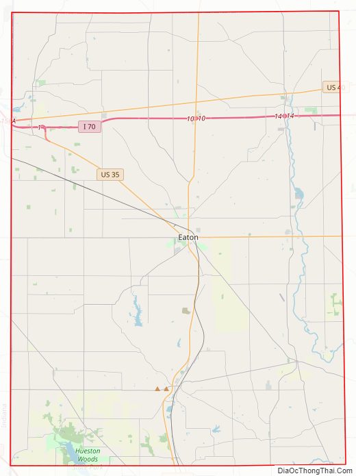
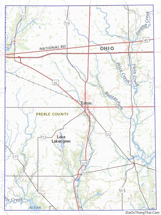
Preble County Road Map
Geography
According to the U.S. Census Bureau, the county has a total area of 426 square miles (1,100 km), of which 424 square miles (1,100 km) is land and 2.3 square miles (6.0 km) (0.5%) is water.
Adjacent counties
- Darke County (north)
- Montgomery County (east)
- Butler County (south)
- Union County, Indiana (southwest)
- Wayne County, Indiana (northwest)
Rivers and streams
- Little Four Mile Creek
- Harker’s Run
- Seven Mile Creek
- Twin Creek
- Price Creek
- Goose Creek
- Pottinger Run
Preble County Topographic Map
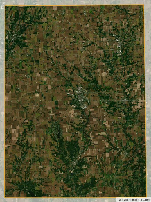
Preble County Satellite Map
Preble County Outline Map