Darke County is a county in the U.S. state of Ohio. As of the 2020 census, the population was 51,881. Its county seat and largest city is Greenville. The county was created in 1809 and later organized in 1817. It is named for William Darke, an officer in the American Revolutionary War. Darke County comprises the Greenville, OH Micropolitan Statistical Area, which is also included in the Dayton–Springfield–Sidney, OH Combined Statistical Area.
| Name: | Darke County |
|---|---|
| FIPS code: | 39-037 |
| State: | Ohio |
| Founded: | March 1, 1817 |
| Named for: | William Darke |
| Seat: | Greenville |
| Largest city: | Greenville |
| Total Area: | 600 sq mi (2,000 km²) |
| Land Area: | 598 sq mi (1,550 km²) |
| Total Population: | 51,881 |
| Population Density: | 86/sq mi (33/km²) |
| Time zone: | UTC−5 (Eastern) |
| Summer Time Zone (DST): | UTC−4 (EDT) |
| Website: | www.mydarkecounty.com |
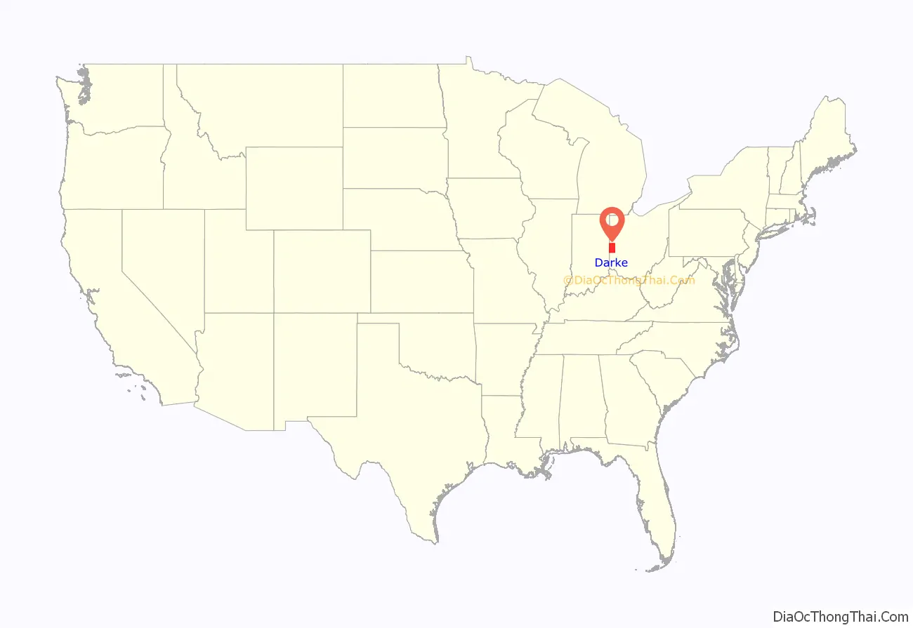
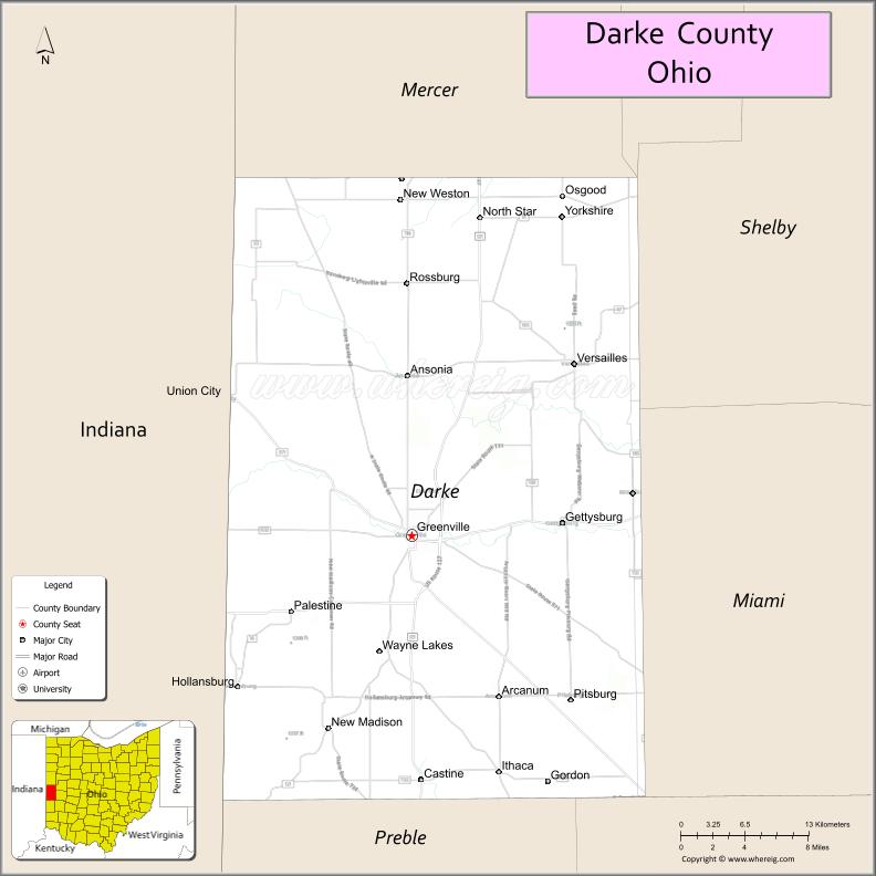
Darke County location map. Where is Darke County?
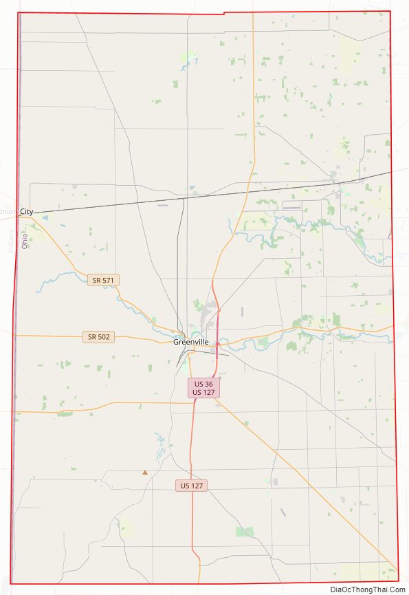
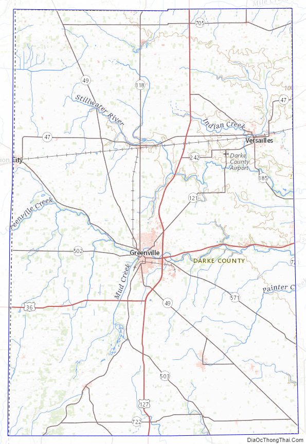
Darke County Road Map
Geography
According to the U.S. Census Bureau, the county has a total area of 600 square miles (1,600 km), of which 598 square miles (1,550 km) is land and 1.7 square miles (4.4 km) (0.3%) is water.
Adjacent counties
- Mercer County (north)
- Shelby County (northeast)
- Miami County (east)
- Montgomery County (southeast)
- Preble County (south)
- Wayne County, Indiana (southwest)
- Randolph County, Indiana (west)
- Jay County, Indiana (northwest)
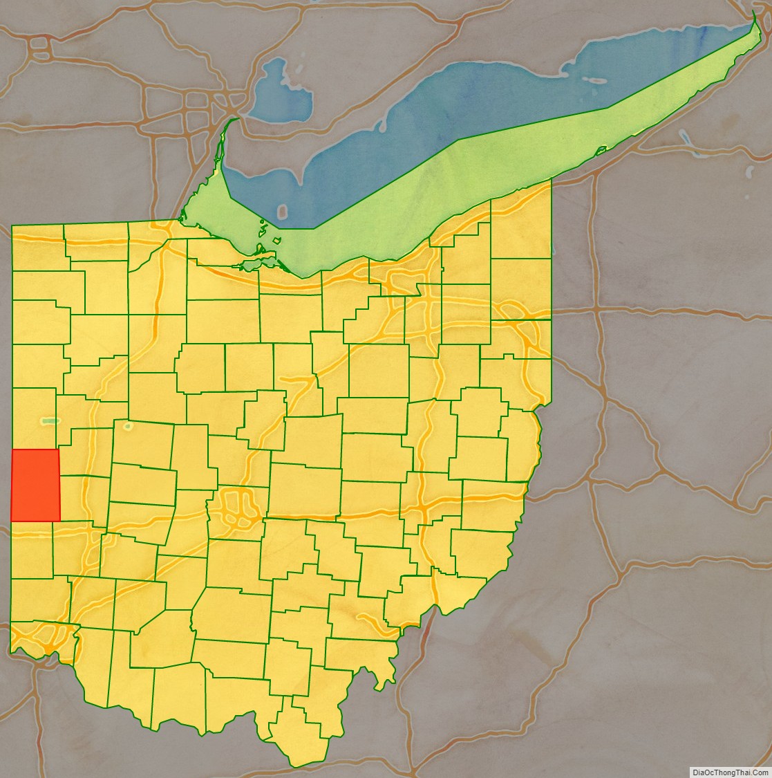
Darke County Topographic Map
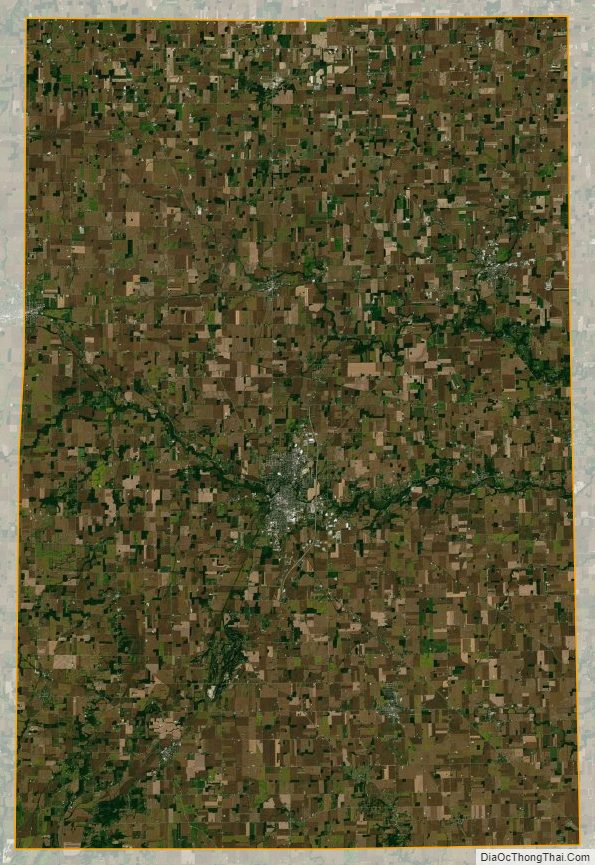
Darke County Satellite Map
Darke County Outline Map