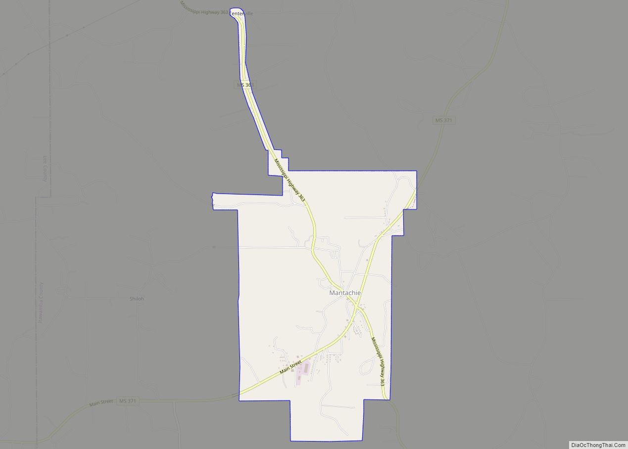
Itawamba County is a county located in the U.S. state of Mississippi. As of the 2020 United States Census, the population was 23,863. Its county seat is Fulton. The county is part of the Tupelo, MS Micropolitan Statistical Area.
The county was named for the Chickasaw leader Itawamba, known to English-speaking settlers as Levi Colbert. He was prominent during the Indian Removal period of the early 19th century, but died before his people left the area.
| Name: | Itawamba County |
|---|---|
| FIPS code: | 28-057 |
| State: | Mississippi |
| Founded: | 1836 |
| Named for: | Levi Colbert (Itawamba) |
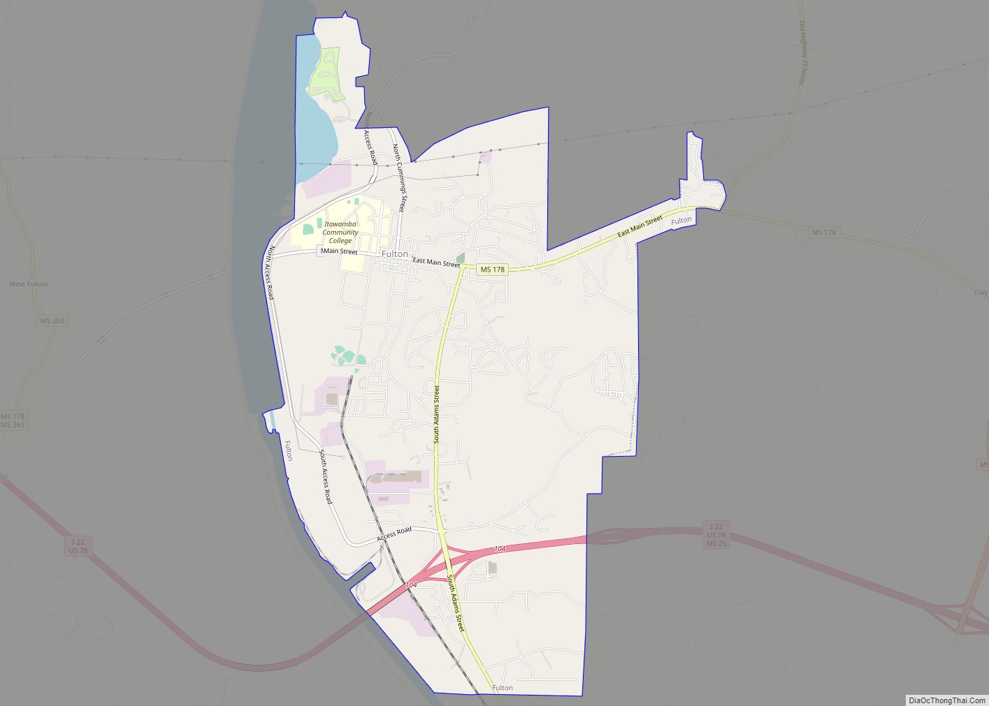
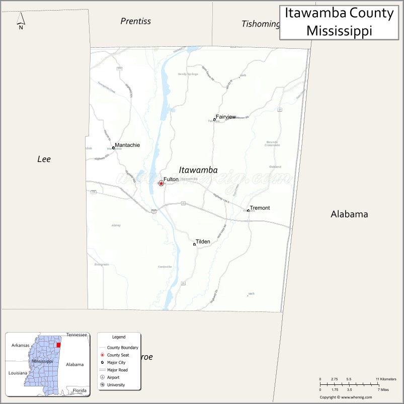
| Seat: | Fulton |
| Largest city: | Fulton |
| Total Area: | 540 sq mi (1,400 km²) |
| Land Area: | 533 sq mi (1,380 km²) |
| Total Population: | 23,863 |
| Population Density: | 44/sq mi (17/km²) |
| Time zone: | UTC−6 (Central) |
| Summer Time Zone (DST): | UTC−5 (CDT) |
| Website: | itawambacoms.com |
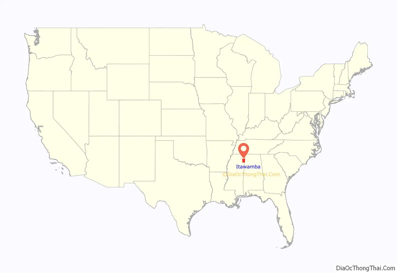
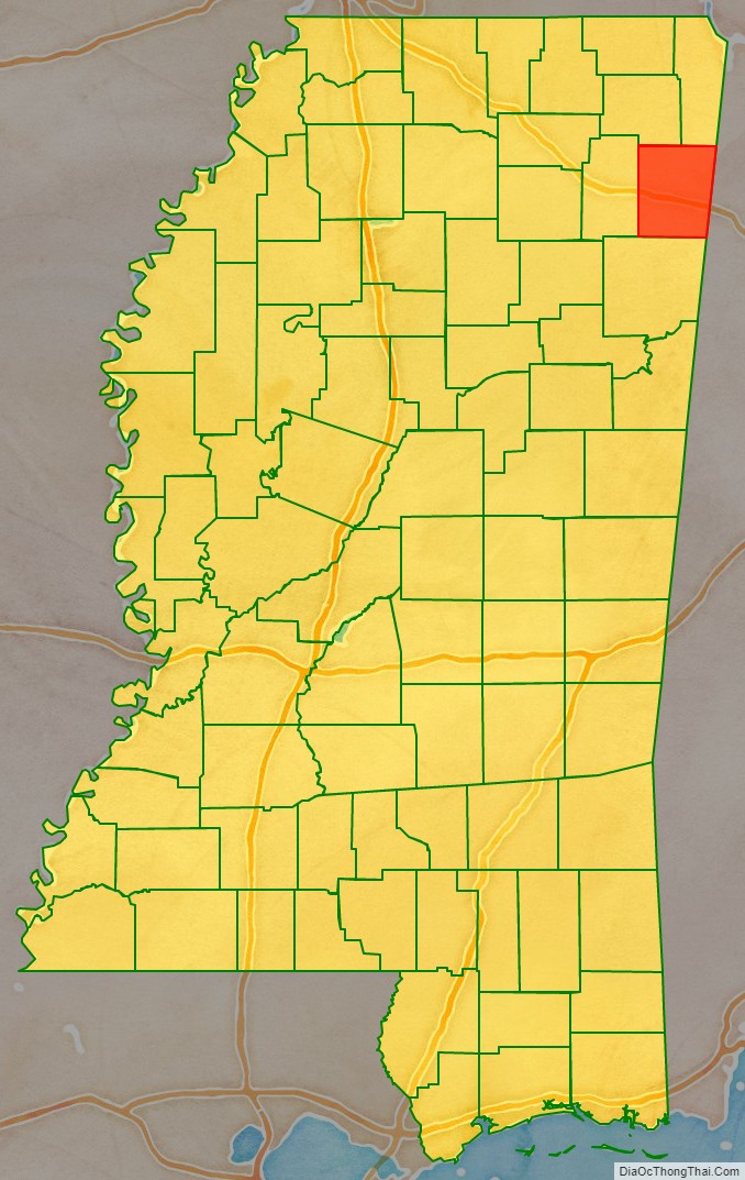
Itawamba County location map. Where is Itawamba County?
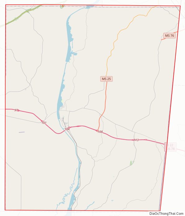
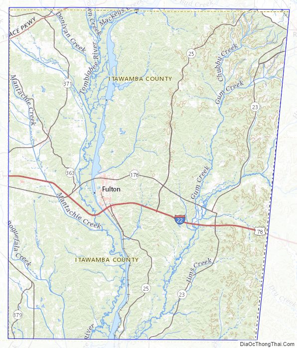
Itawamba County Road Map
Geography
According to the United States Census Bureau, the county has a total area of 540 square miles (1,400 km), of which 533 square miles (1,380 km) is land and 7.7 square miles (20 km) (1.4%) is water.
Major highways
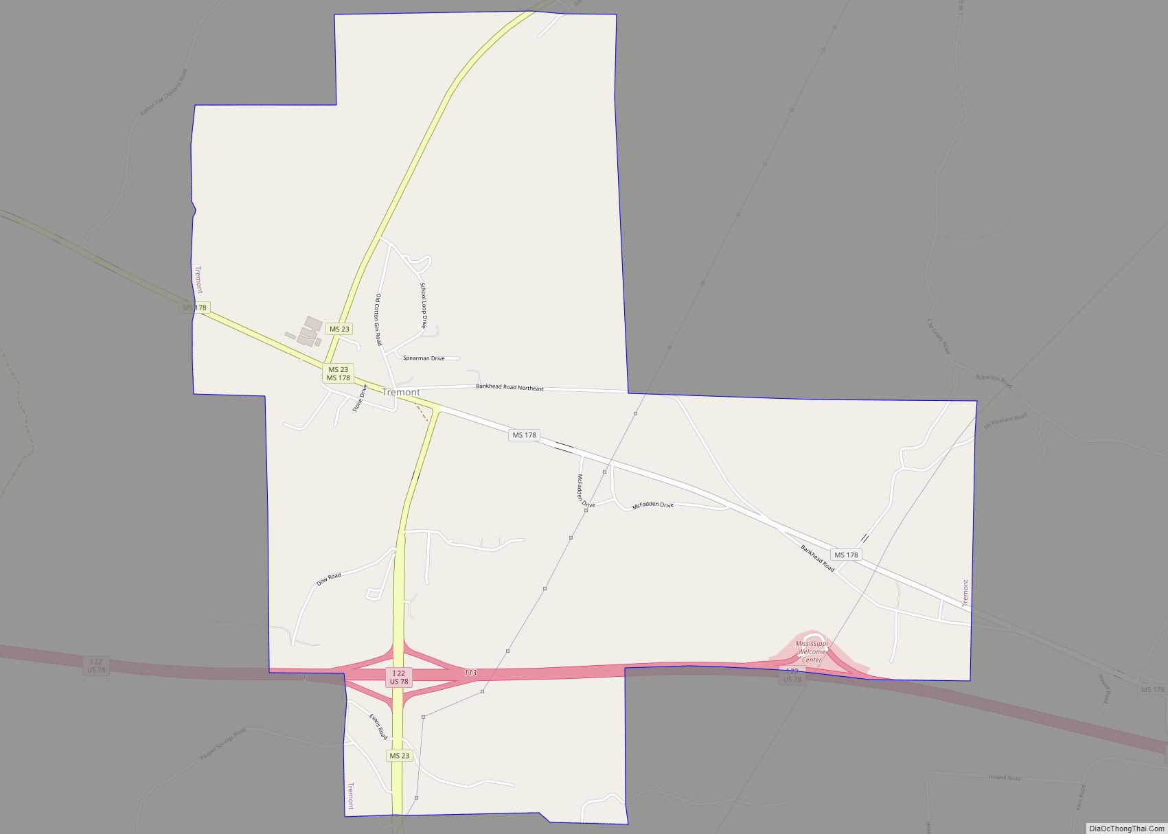
- Interstate 22
- U.S. Highway 78
- Mississippi Highway 23
- Mississippi Highway 25
- Natchez Trace Parkway
Adjacent counties
- Tishomingo County – northeast
- Franklin County, Alabama – east
- Marion County, Alabama – southeast
- Monroe County – south
- Lee County – west
- Prentiss County – northwest
National protected area
- Natchez Trace Parkway (part)
- Pharr Mounds (near Tupelo), 85-acre (340,000 m) complex of earthwork burial mounds from the Middle Woodland period
Itawamba County Topographic Map
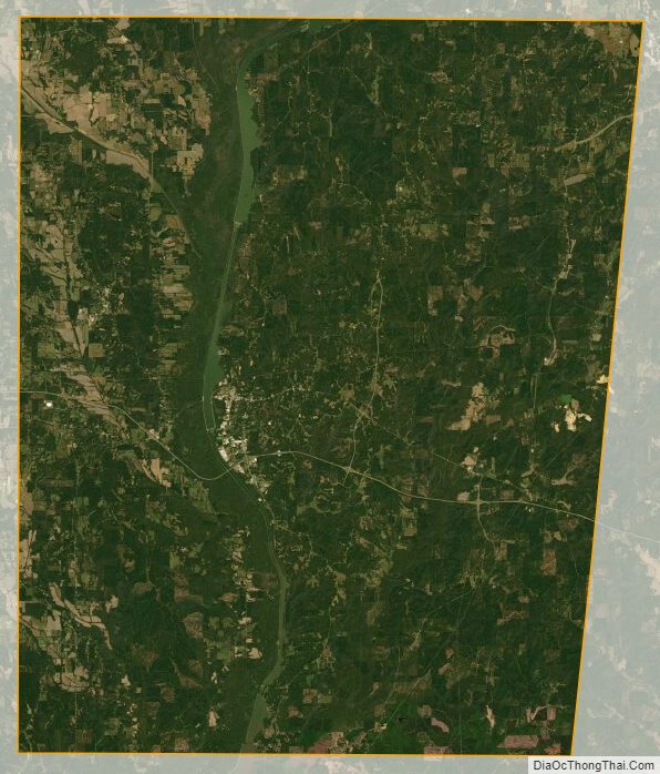
Itawamba County Satellite Map
Itawamba County Outline Map