Prowers County is a county located in the U.S. state of Colorado. As of the 2020 census, the population was 11,999. The county seat is Lamar. The county is named in honor of John Wesley Prowers, a leading pioneer in the lower Arkansas River valley region.
| Name: | Prowers County |
|---|---|
| FIPS code: | 08-099 |
| State: | Colorado |
| Founded: | April 11, 1889 |
| Named for: | John W. Prowers |
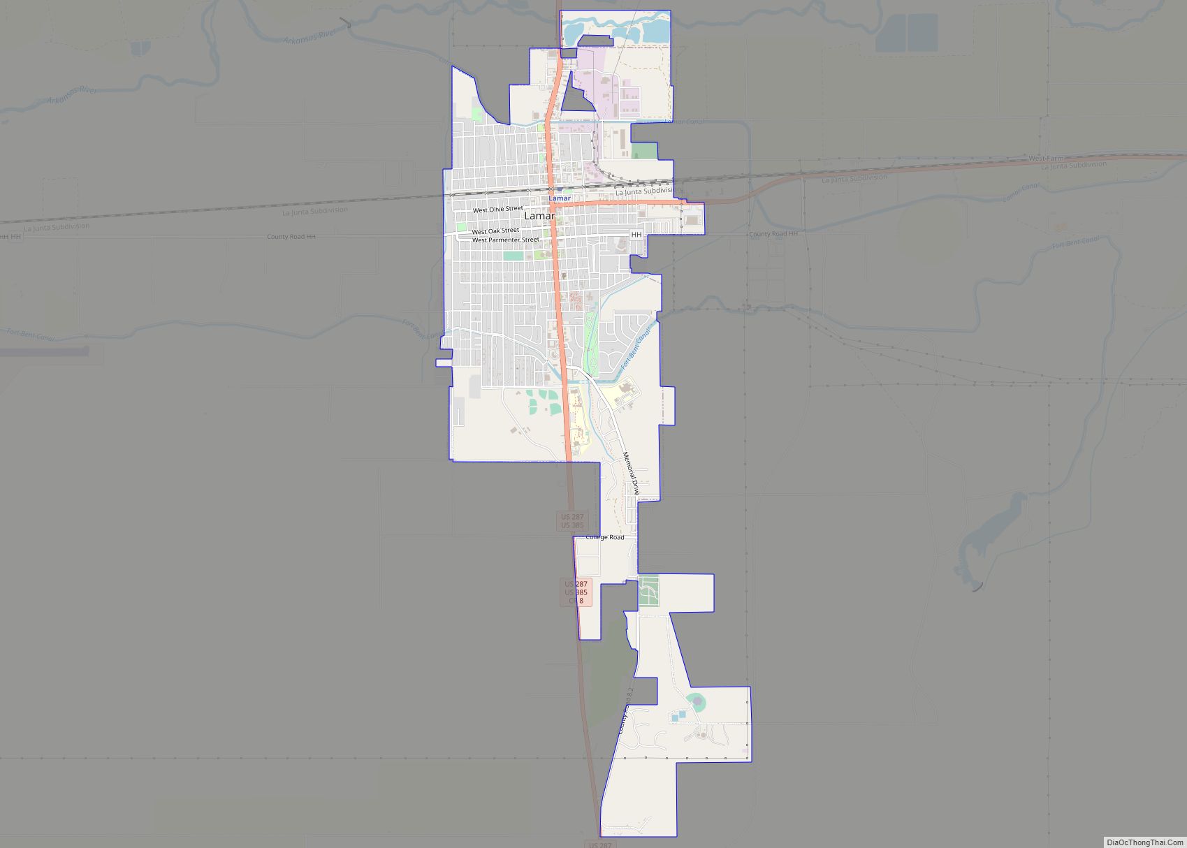
| Seat: | Lamar |
| Largest city: | Lamar |
| Total Area: | 1,644 sq mi (4,260 km²) |
| Land Area: | 1,638 sq mi (4,240 km²) |
| Total Population: | 11,996 |
| Population Density: | 7.3/sq mi (2.8/km²) |
| Time zone: | UTC−7 (Mountain) |
| Summer Time Zone (DST): | UTC−6 (MDT) |
| Website: | www.prowerscounty.net |
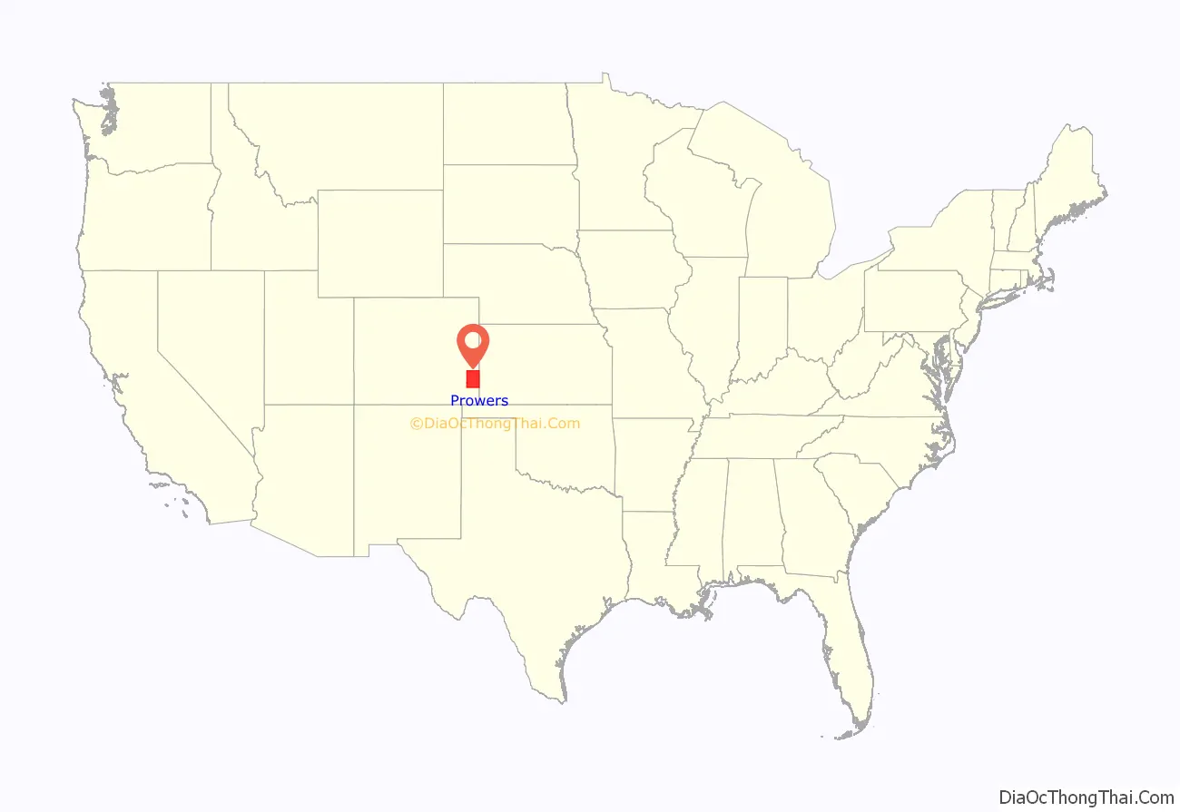
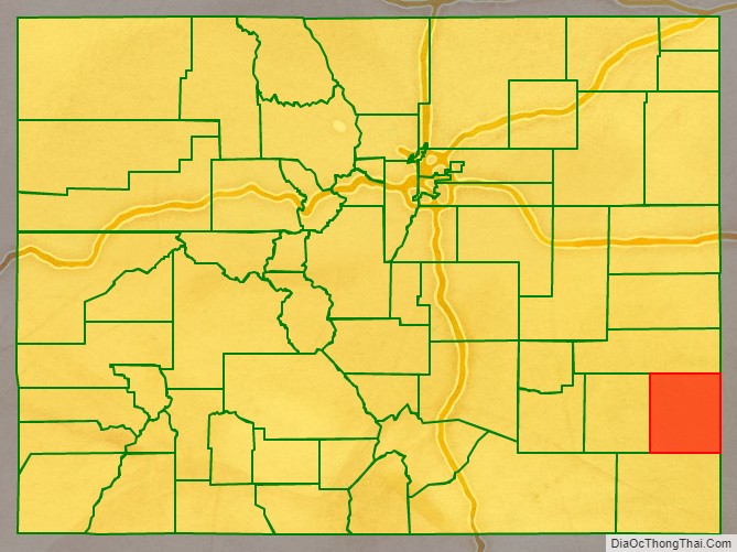
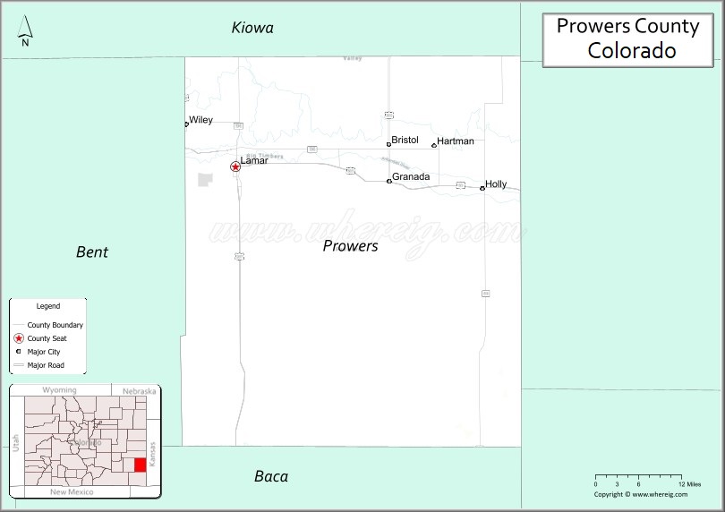
Prowers County location map. Where is Prowers County?
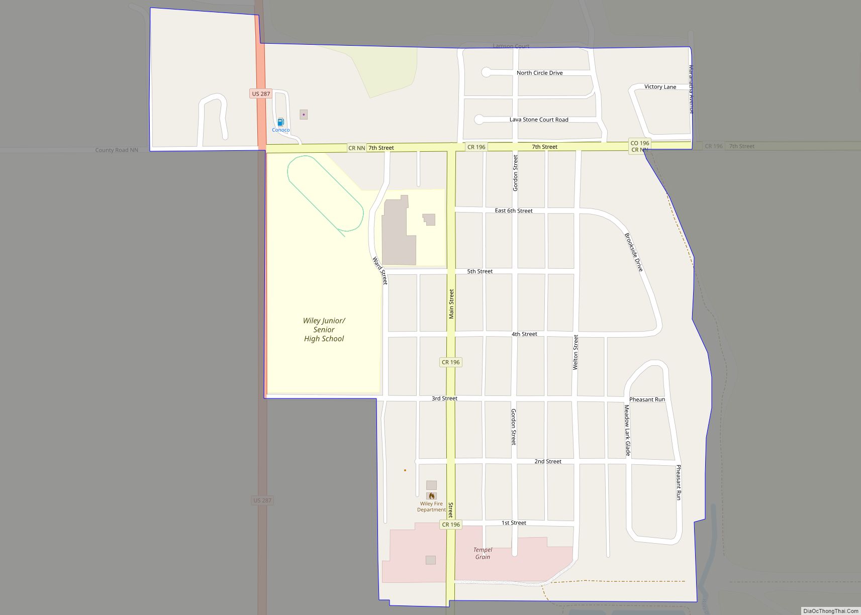
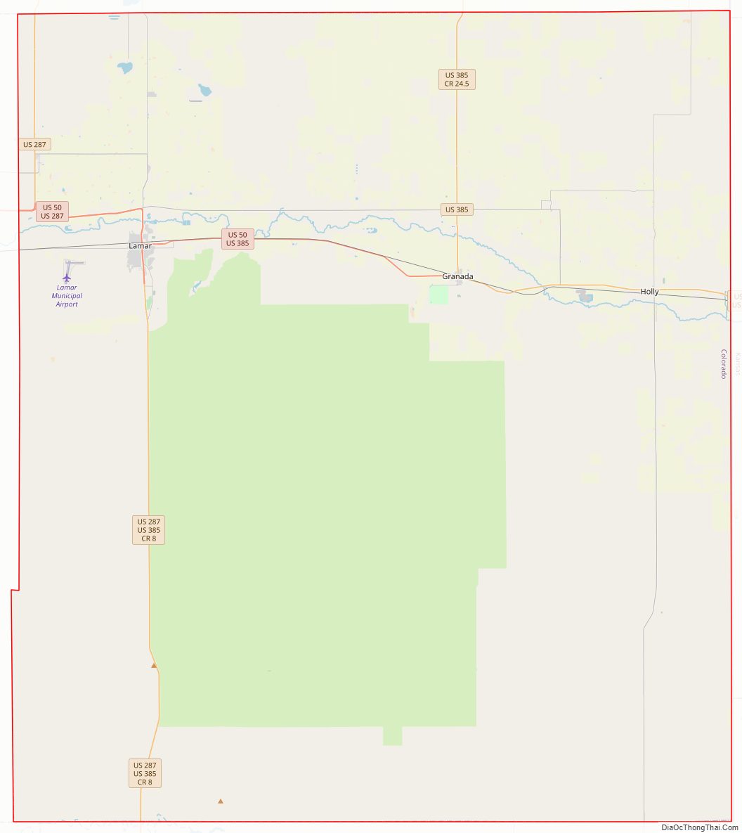
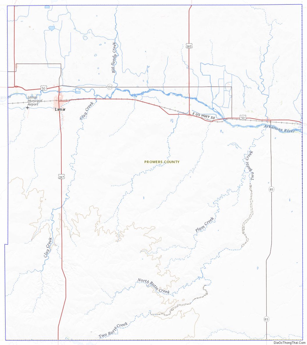
Prowers County Road Map
Geography
According to the U.S. Census Bureau, the county has a total area of 1,644 square miles (4,260 km), of which 1,638 square miles (4,240 km) is land and 5.9 square miles (15 km) (0.4%) is water.
Adjacent counties
- Kiowa County (north)
- Greeley County, Kansas (northeast)
- Hamilton County, Kansas (east)
- Stanton County, Kansas (southeast/Central Time border)
- Baca County (south)
- Bent County (west)
Major Highways
- U.S. Highway 50
- U.S. Highway 287
- U.S. Highway 385
- U.S. Highway 400
- State Highway 89
- State Highway 196
Trails and byways
- American Discovery Trail
- Santa Fe Trail National Scenic Byway
Antipode
Prowers County is home of the Antipode of the Indian Ocean island of Île Amsterdam and that island’s settlement, La Roche Godon, making it one of the few places in the continental United States with a non-oceanic antipode. The center of Ile Amsterdam is at 37.8332° S, 77.5505° E; the antipode, 37.8332° N and 102.4495° W is about 10 miles southeast of Lamar.
Prowers County Topographic Map
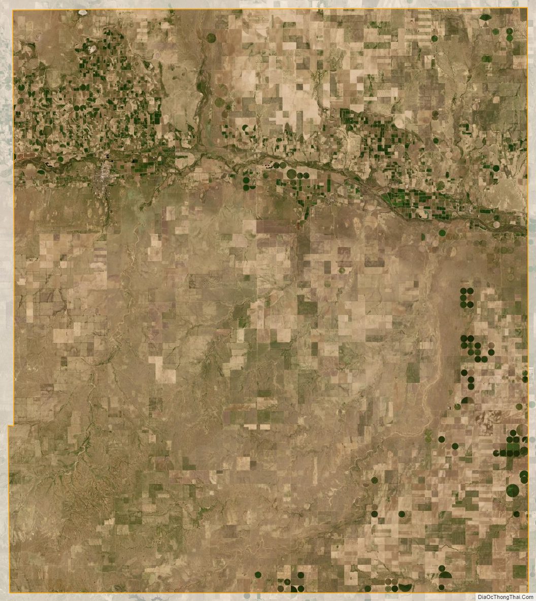
Prowers County Satellite Map
Prowers County Outline Map