The Town of Granada is a Statutory Town in Prowers County, Colorado, United States. The town population was 445 at the 2020 United States Census.
| Name: | Granada town |
|---|---|
| LSAD Code: | 43 |
| LSAD Description: | town (suffix) |
| State: | Colorado |
| County: | Prowers County |
| Elevation: | 3,484 ft (1,062 m) |
| Total Area: | 0.685 sq mi (1.775 km²) |
| Land Area: | 0.685 sq mi (1.775 km²) |
| Water Area: | 0.000 sq mi (0.000 km²) |
| Total Population: | 445 |
| Population Density: | 649/sq mi (251/km²) |
| ZIP code: | 81041 |
| Area code: | 719 |
| FIPS code: | 0831550 |
| GNISfeature ID: | 0195594 |
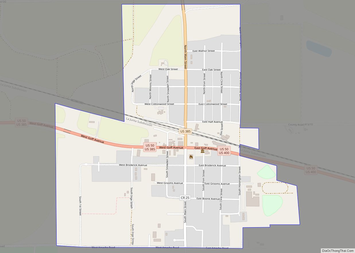
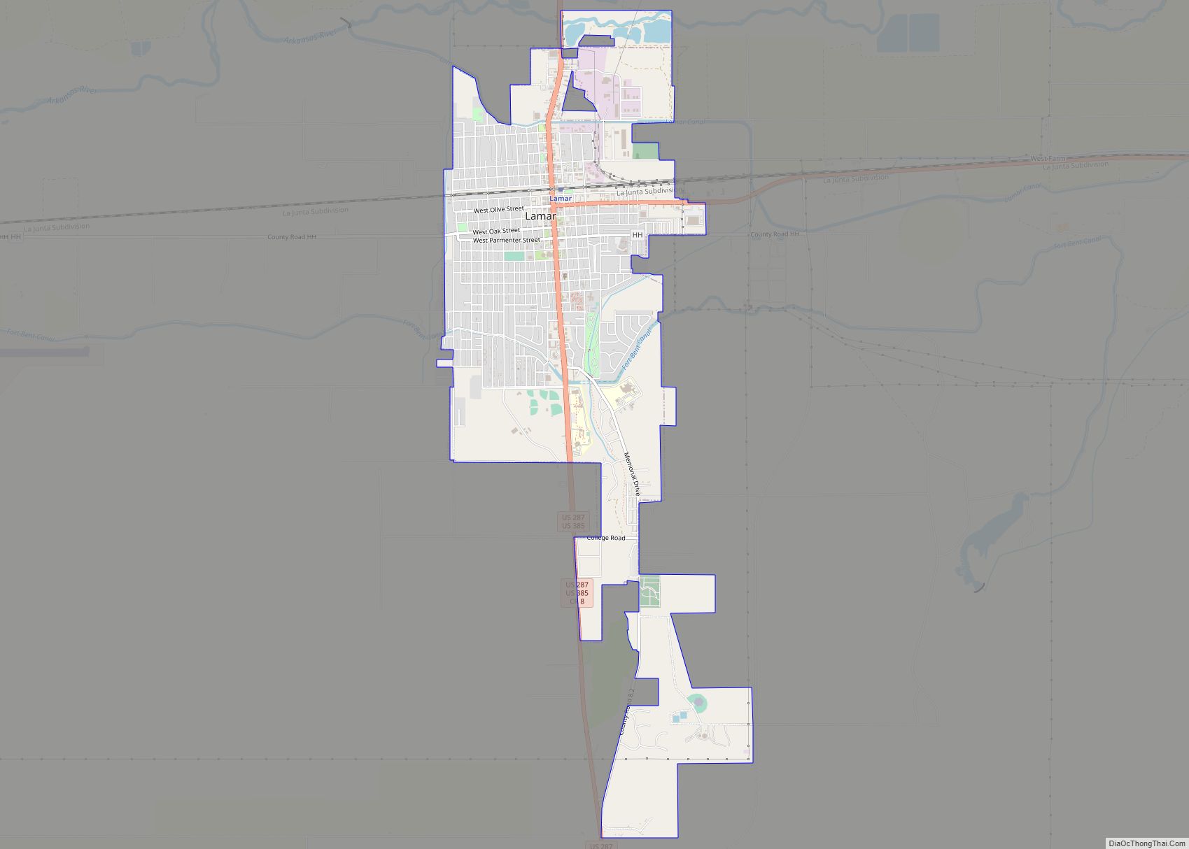
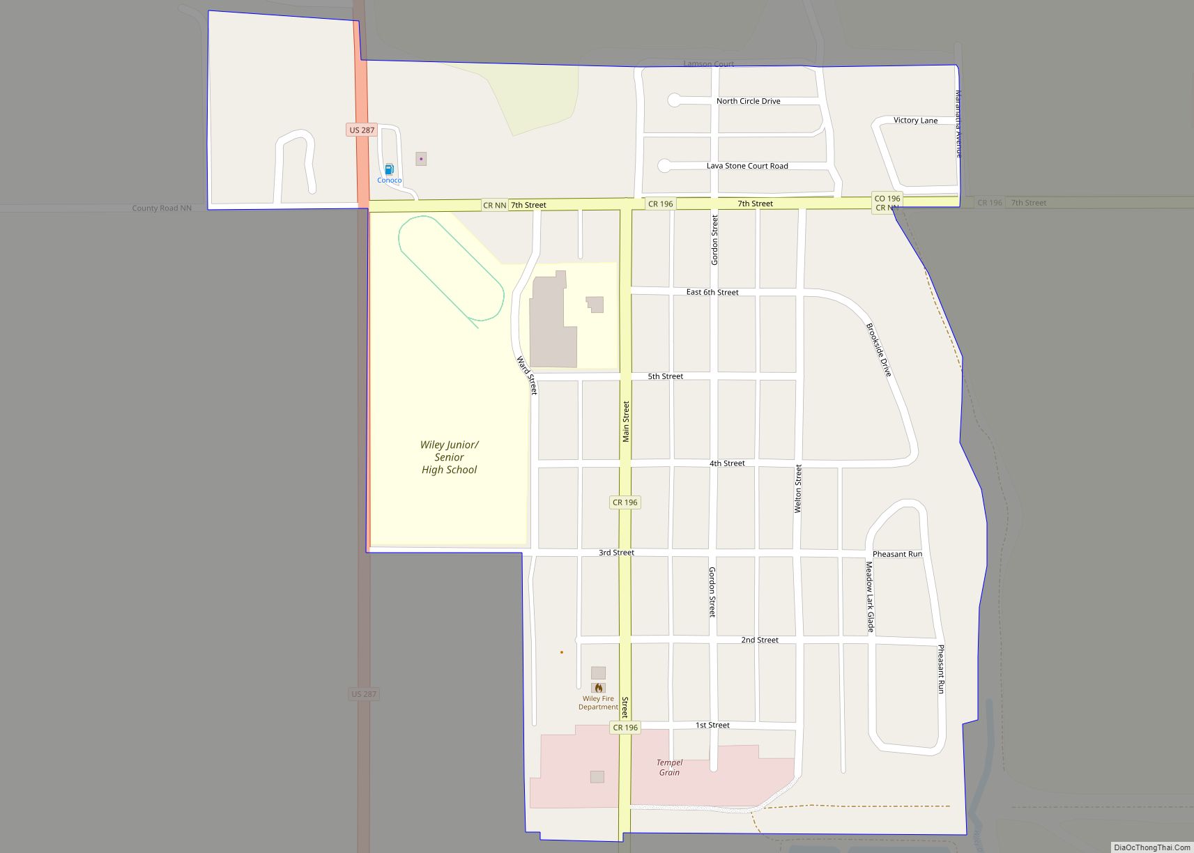
Online Interactive Map
Click on ![]() to view map in "full screen" mode.
to view map in "full screen" mode.
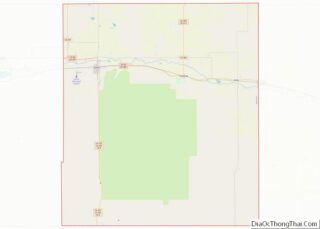
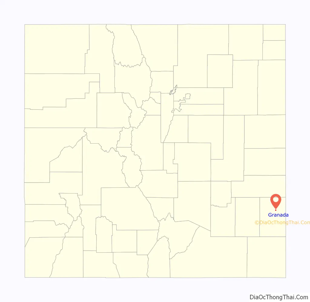
Granada location map. Where is Granada town?

History
A post office called Granada has been in operation since 1873. The community most likely takes its name from nearby Granada Creek.
During World War II, the Granada War Relocation Center (known to internees as Camp Amache) was located west of Granada as a Japanese American internment camp. It opened in August 1942 and housed a maximum population of 7,318 citizens.
Granada Road Map
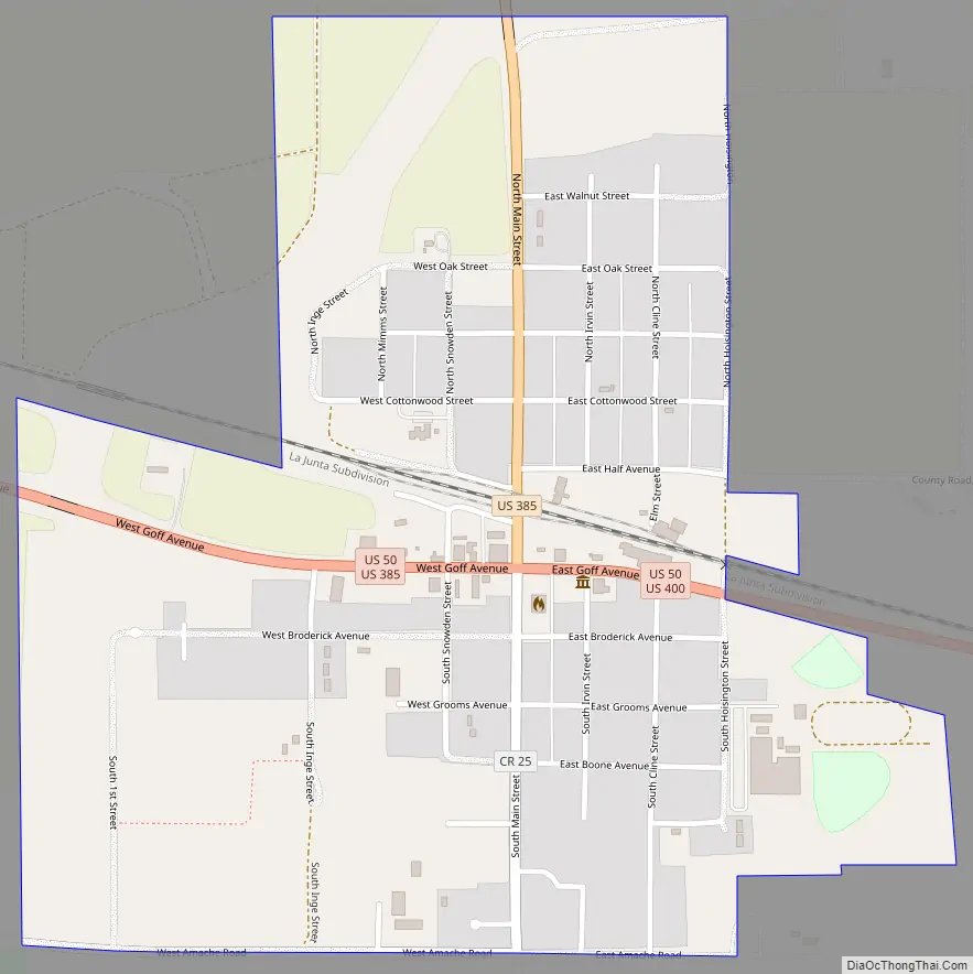
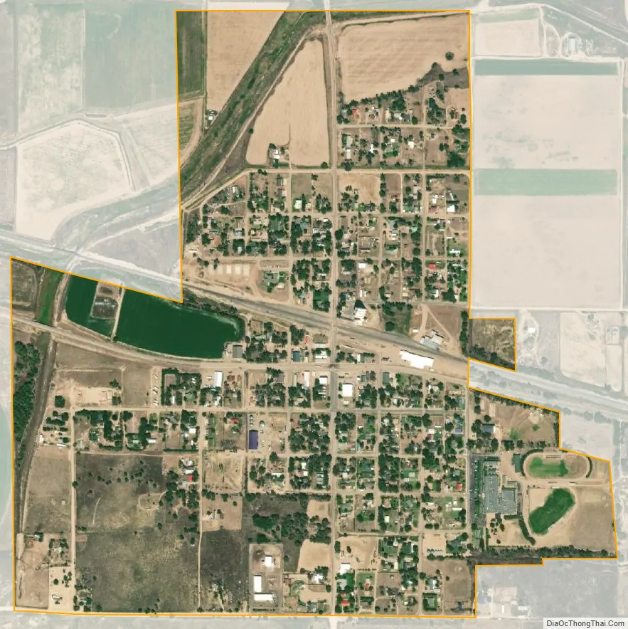
Granada city Satellite Map
Geography
Granada is located at 38°3′53″N 102°18′40″W / 38.06472°N 102.31111°W / 38.06472; -102.31111 (38.064603, -102.311052).
At the 2020 United States Census, the town had a total area of 439 acres (1.775 km), all of it land.
See also
Map of Colorado State and its subdivision:- Adams
- Alamosa
- Arapahoe
- Archuleta
- Baca
- Bent
- Boulder
- Broomfield
- Chaffee
- Cheyenne
- Clear Creek
- Conejos
- Costilla
- Crowley
- Custer
- Delta
- Denver
- Dolores
- Douglas
- Eagle
- El Paso
- Elbert
- Fremont
- Garfield
- Gilpin
- Grand
- Gunnison
- Hinsdale
- Huerfano
- Jackson
- Jefferson
- Kiowa
- Kit Carson
- La Plata
- Lake
- Larimer
- Las Animas
- Lincoln
- Logan
- Mesa
- Mineral
- Moffat
- Montezuma
- Montrose
- Morgan
- Otero
- Ouray
- Park
- Phillips
- Pitkin
- Prowers
- Pueblo
- Rio Blanco
- Rio Grande
- Routt
- Saguache
- San Juan
- San Miguel
- Sedgwick
- Summit
- Teller
- Washington
- Weld
- Yuma
- Alabama
- Alaska
- Arizona
- Arkansas
- California
- Colorado
- Connecticut
- Delaware
- District of Columbia
- Florida
- Georgia
- Hawaii
- Idaho
- Illinois
- Indiana
- Iowa
- Kansas
- Kentucky
- Louisiana
- Maine
- Maryland
- Massachusetts
- Michigan
- Minnesota
- Mississippi
- Missouri
- Montana
- Nebraska
- Nevada
- New Hampshire
- New Jersey
- New Mexico
- New York
- North Carolina
- North Dakota
- Ohio
- Oklahoma
- Oregon
- Pennsylvania
- Rhode Island
- South Carolina
- South Dakota
- Tennessee
- Texas
- Utah
- Vermont
- Virginia
- Washington
- West Virginia
- Wisconsin
- Wyoming