Putnam County is the least extensive county in the U.S. state of Illinois. According to the 2010 census, it had a population of 6,006. The county seat is Hennepin. The county was formed in 1825 out of Fulton County and named after Israel Putnam, who was a general in the American Revolution. Putnam County is part of the Ottawa, IL Micropolitan Statistical Area.
| Name: | Putnam County |
|---|---|
| FIPS code: | 17-155 |
| State: | Illinois |
| Founded: | 1825 |
| Named for: | Israel Putnam |
| Seat: | Hennepin |
| Total Area: | 172 sq mi (450 km²) |
| Land Area: | 160 sq mi (400 km²) |
| Total Population: | 6,006 |
| Population Density: | 35/sq mi (13/km²) |
| Time zone: | UTC−6 (Central) |
| Summer Time Zone (DST): | UTC−5 (CDT) |
| Website: | www.co.putnam.il.us |
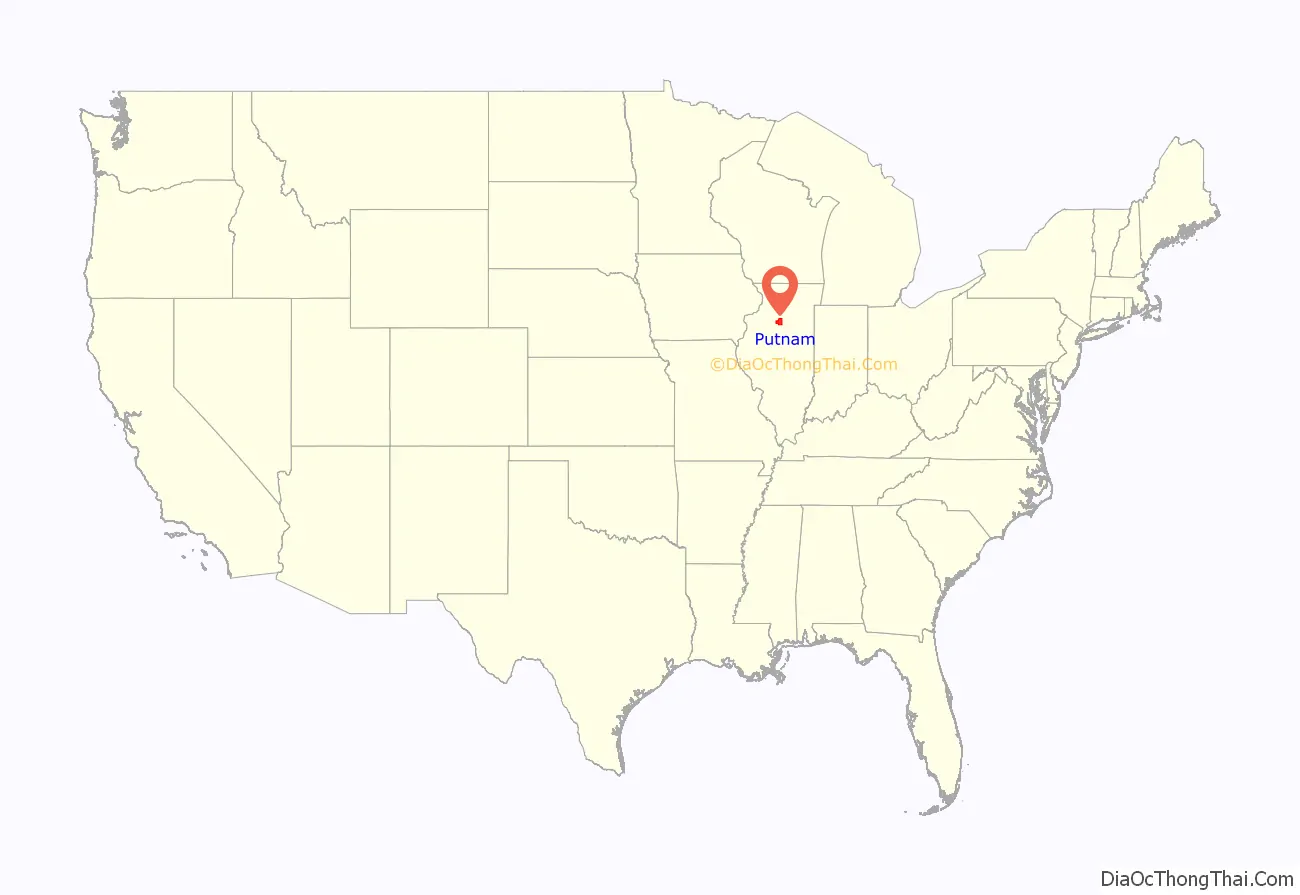
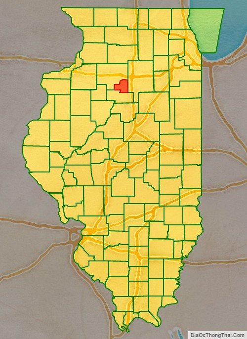
Putnam County location map. Where is Putnam County?
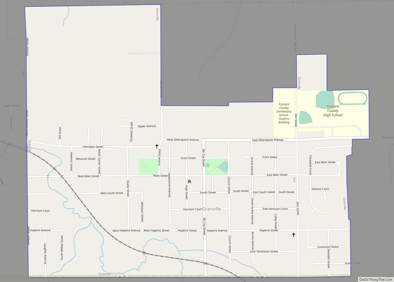
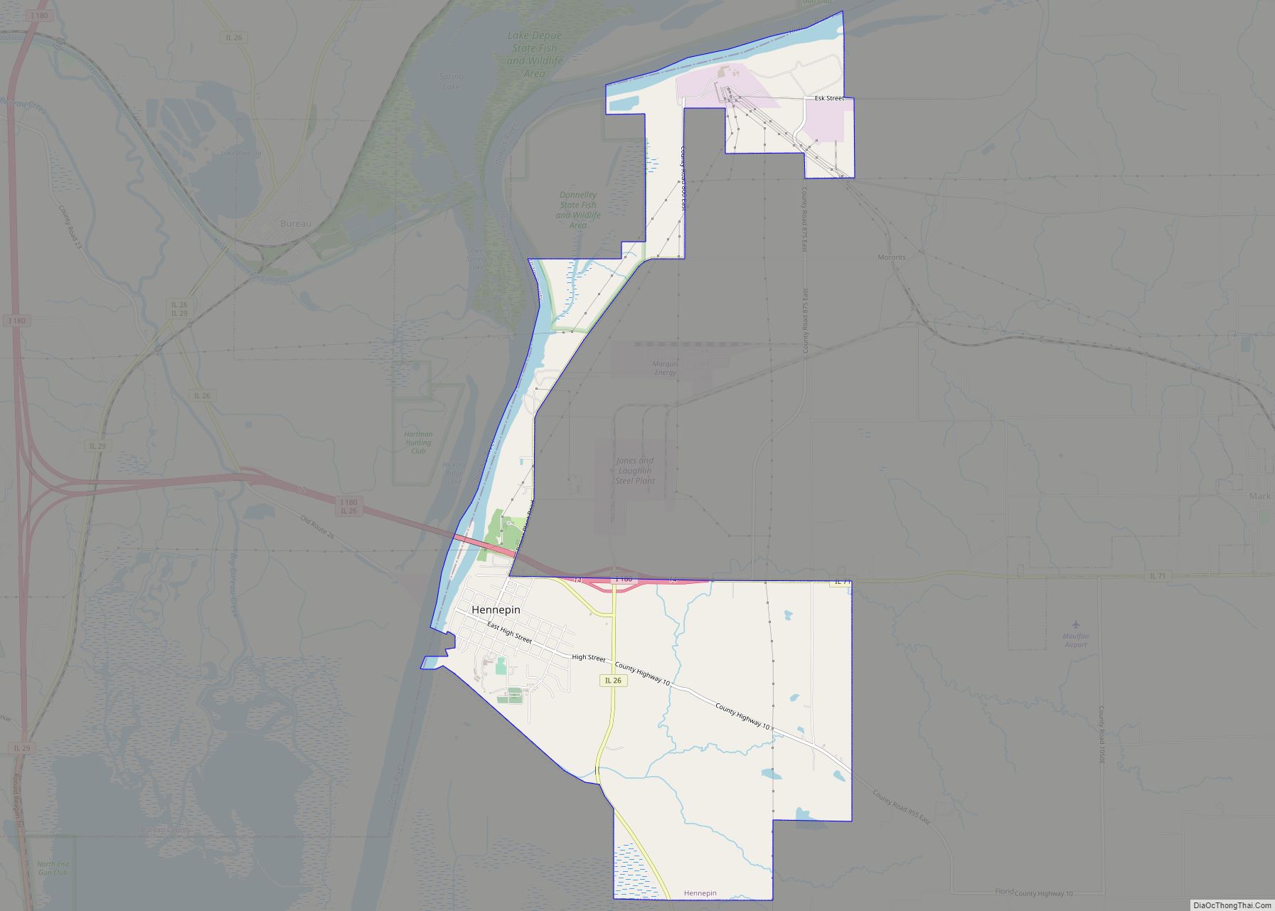
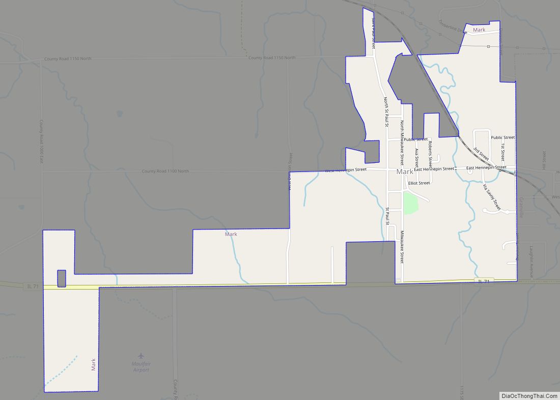
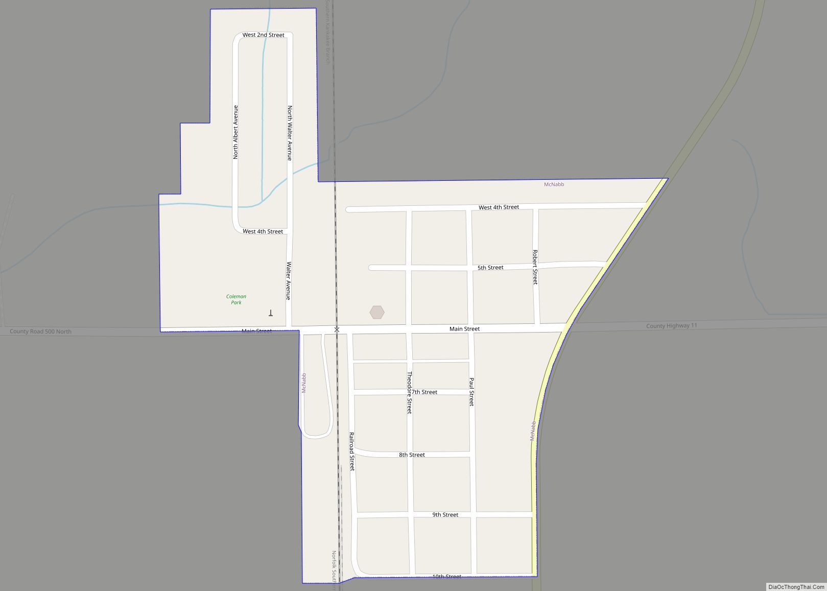
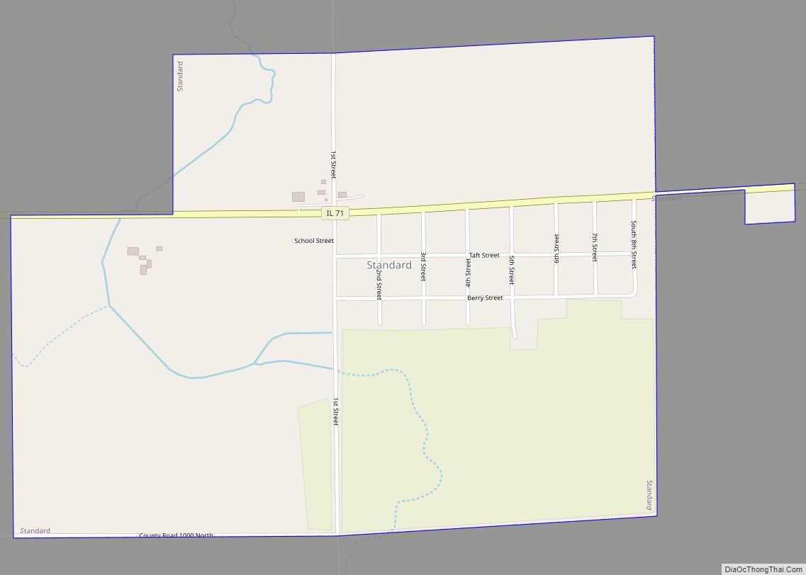
Putnam County Road Map
Geography
According to the U.S. Census Bureau, the county has a total area of 172 square miles (450 km), of which 160 square miles (410 km) is land and 12 square miles (31 km) (7.0%) is water. It is the smallest county in Illinois by area.
Climate and weather
In recent years, average temperatures in the county seat of Hennepin have ranged from a low of 13 °F (−11 °C) in January to a high of 86 °F (30 °C) in July, although a record low of −30 °F (−34 °C) was recorded in January 1999 and a record high of 104 °F (40 °C) was recorded in June 1988. Average monthly precipitation ranged from 1.14 inches (29 mm) in January to 4.32 inches (110 mm) in August.
Major highways
- Interstate 180
- Illinois Route 18
- Illinois Route 26
- Illinois Route 29
- Illinois Route 71
- Illinois Route 89
Adjacent counties
- Bureau County (northwest)
- LaSalle County (east)
- Marshall County (south)
Putnam County at the time of its creation in 1825
The county split in two portions, 1827-1831
Putnam County between 1831 and 1837
Putnam between 1837 and 1839
Putnam in 1839, reduced to its present borders
