Hennepin is a village located on the Illinois River in Putnam County, Illinois, United States. The population was 757 in 2010, an increase of 50 since the 2000 census. It is the county seat and second largest village in Putnam County.
Hennepin is part of the Ottawa Micropolitan Statistical Area.
| Name: | Hennepin village |
|---|---|
| LSAD Code: | 47 |
| LSAD Description: | village (suffix) |
| State: | Illinois |
| County: | Putnam County |
| Incorporated: | February 13, 1837 |
| Elevation: | 503 ft (153 m) |
| Total Area: | 5.66 sq mi (14.66 km²) |
| Land Area: | 5.31 sq mi (13.74 km²) |
| Water Area: | 0.35 sq mi (0.92 km²) 6.39% |
| Total Population: | 769 |
| Population Density: | 144.90/sq mi (55.95/km²) |
| ZIP code: | 61327 |
| FIPS code: | 1734098 |
| Website: | http://www.villageofhennepin.com |
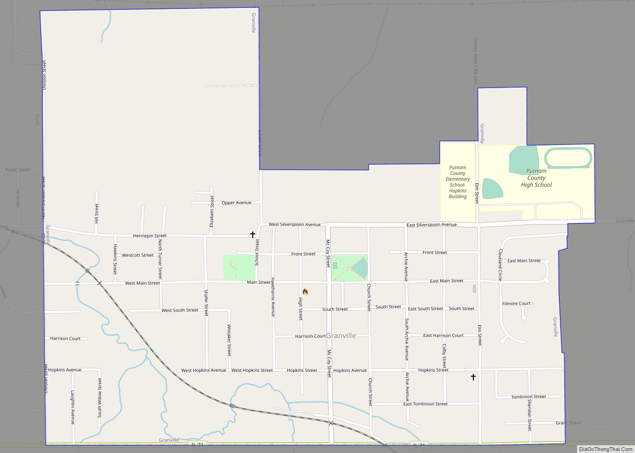
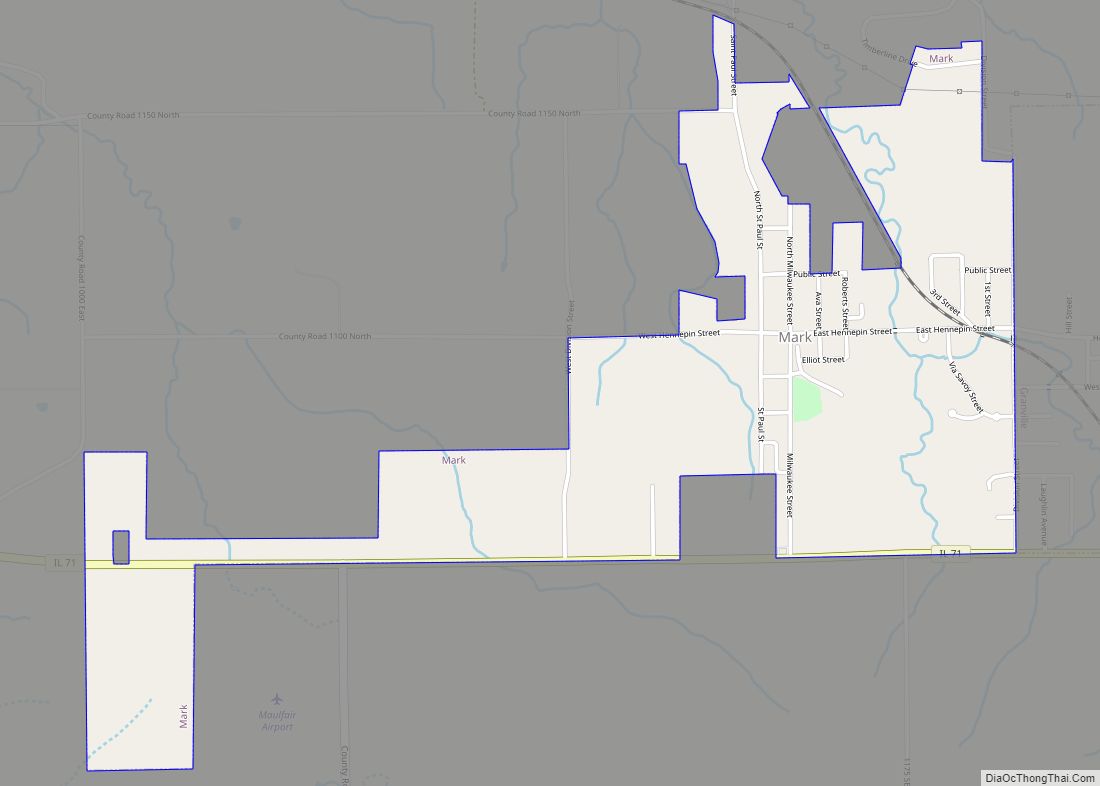
Online Interactive Map
Click on ![]() to view map in "full screen" mode.
to view map in "full screen" mode.
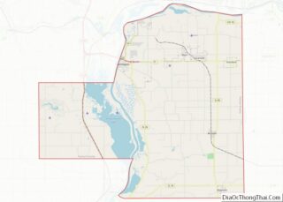
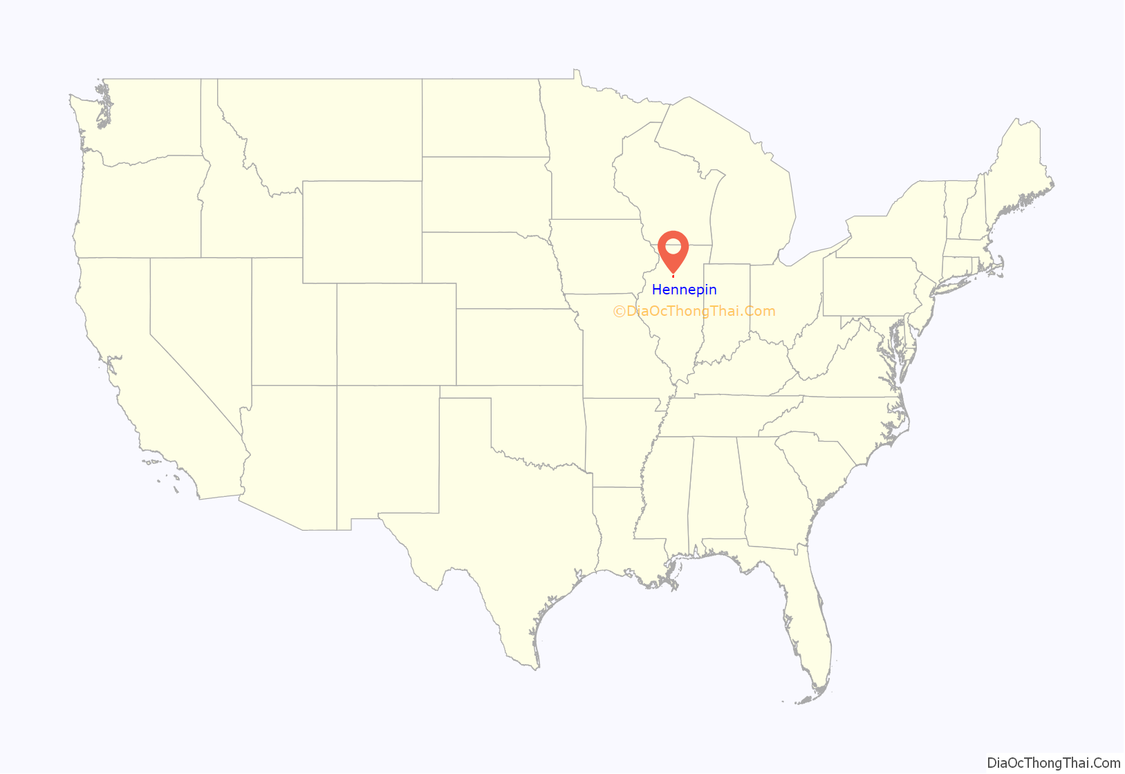
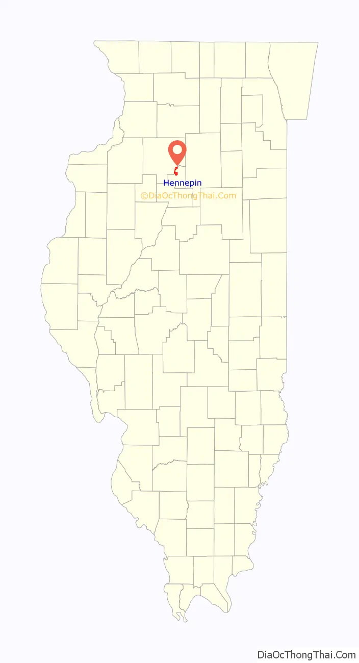
Hennepin location map. Where is Hennepin village?
History
The Village of Hennepin was named for the explorer, Father Louis Hennepin, O. F. M.
The Putnam County Courthouse, in Hennepin, was built in 1837, and is the oldest county courthouse in Illinois still serving its original purpose. Abraham Lincoln visited the courthouse, including when he campaigned for a Congressional seat in September, 1845. The Putnam County Courthouse is listed on the National Register of Historic Places.
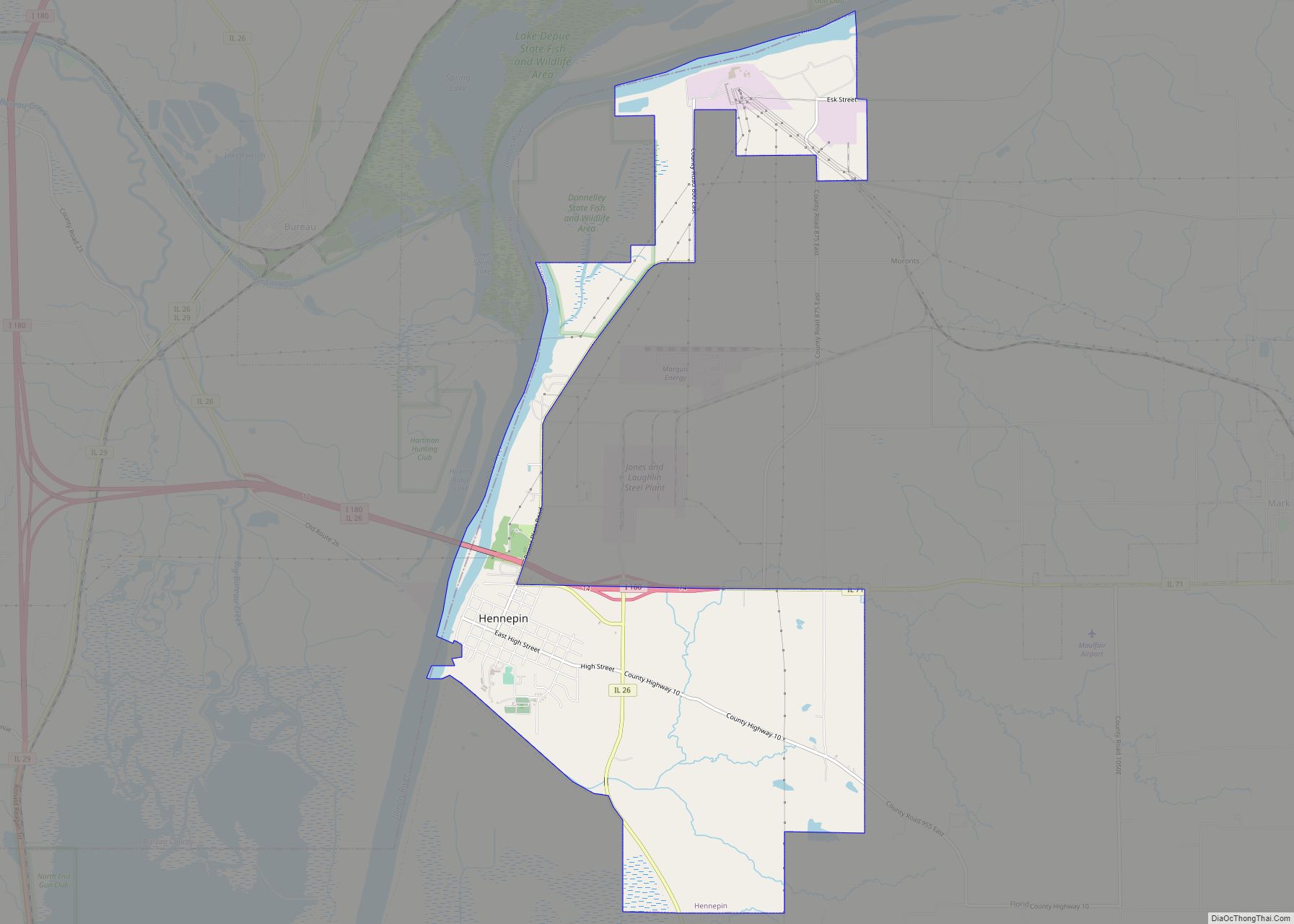
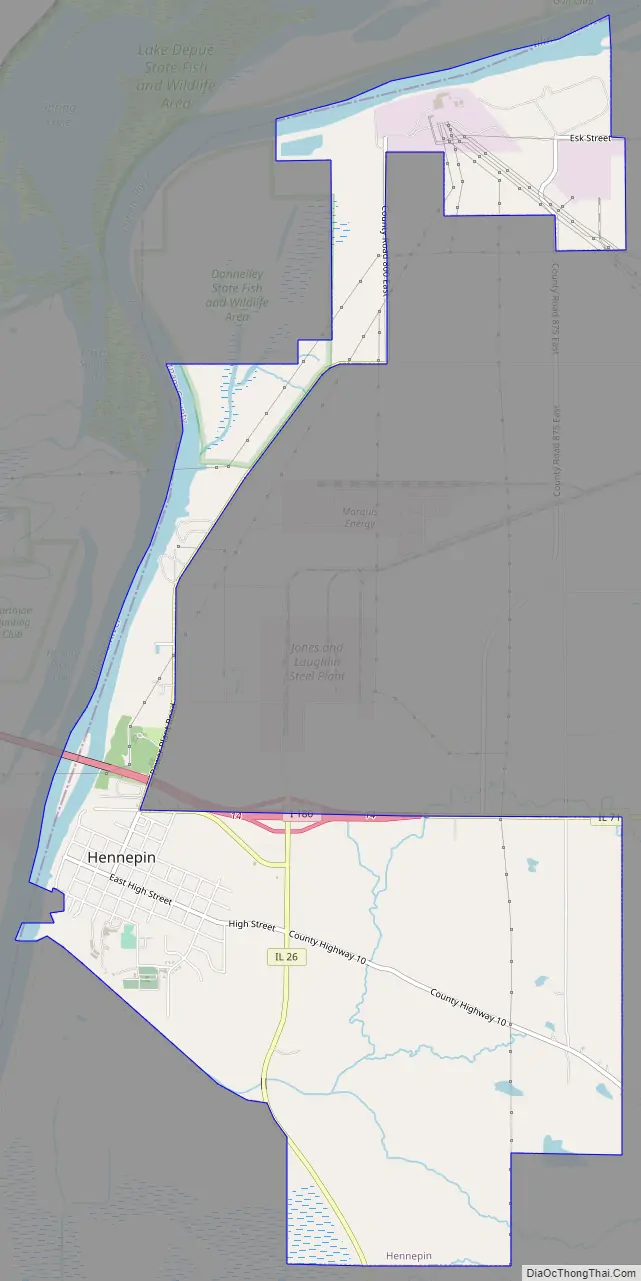
Hennepin Road Map
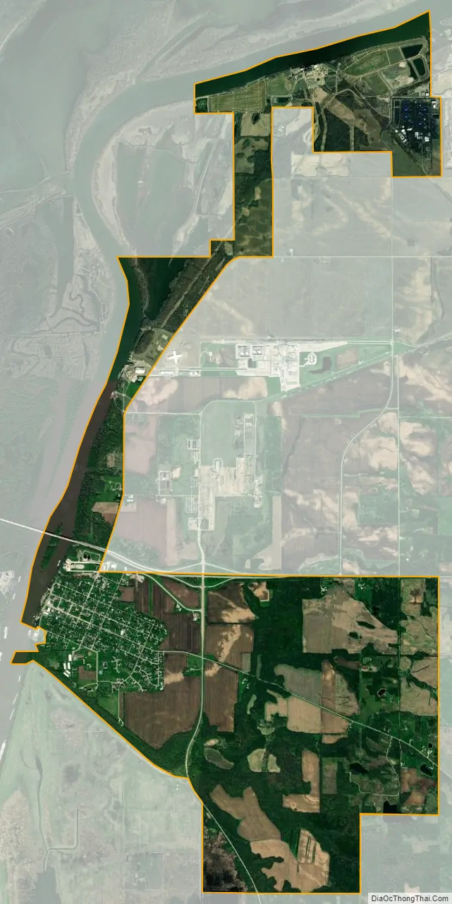
Hennepin city Satellite Map
See also
Map of Illinois State and its subdivision:- Adams
- Alexander
- Bond
- Boone
- Brown
- Bureau
- Calhoun
- Carroll
- Cass
- Champaign
- Christian
- Clark
- Clay
- Clinton
- Coles
- Cook
- Crawford
- Cumberland
- De Kalb
- De Witt
- Douglas
- Dupage
- Edgar
- Edwards
- Effingham
- Fayette
- Ford
- Franklin
- Fulton
- Gallatin
- Greene
- Grundy
- Hamilton
- Hancock
- Hardin
- Henderson
- Henry
- Iroquois
- Jackson
- Jasper
- Jefferson
- Jersey
- Jo Daviess
- Johnson
- Kane
- Kankakee
- Kendall
- Knox
- La Salle
- Lake
- Lake Michigan
- Lawrence
- Lee
- Livingston
- Logan
- Macon
- Macoupin
- Madison
- Marion
- Marshall
- Mason
- Massac
- McDonough
- McHenry
- McLean
- Menard
- Mercer
- Monroe
- Montgomery
- Morgan
- Moultrie
- Ogle
- Peoria
- Perry
- Piatt
- Pike
- Pope
- Pulaski
- Putnam
- Randolph
- Richland
- Rock Island
- Saint Clair
- Saline
- Sangamon
- Schuyler
- Scott
- Shelby
- Stark
- Stephenson
- Tazewell
- Union
- Vermilion
- Wabash
- Warren
- Washington
- Wayne
- White
- Whiteside
- Will
- Williamson
- Winnebago
- Woodford
- Alabama
- Alaska
- Arizona
- Arkansas
- California
- Colorado
- Connecticut
- Delaware
- District of Columbia
- Florida
- Georgia
- Hawaii
- Idaho
- Illinois
- Indiana
- Iowa
- Kansas
- Kentucky
- Louisiana
- Maine
- Maryland
- Massachusetts
- Michigan
- Minnesota
- Mississippi
- Missouri
- Montana
- Nebraska
- Nevada
- New Hampshire
- New Jersey
- New Mexico
- New York
- North Carolina
- North Dakota
- Ohio
- Oklahoma
- Oregon
- Pennsylvania
- Rhode Island
- South Carolina
- South Dakota
- Tennessee
- Texas
- Utah
- Vermont
- Virginia
- Washington
- West Virginia
- Wisconsin
- Wyoming