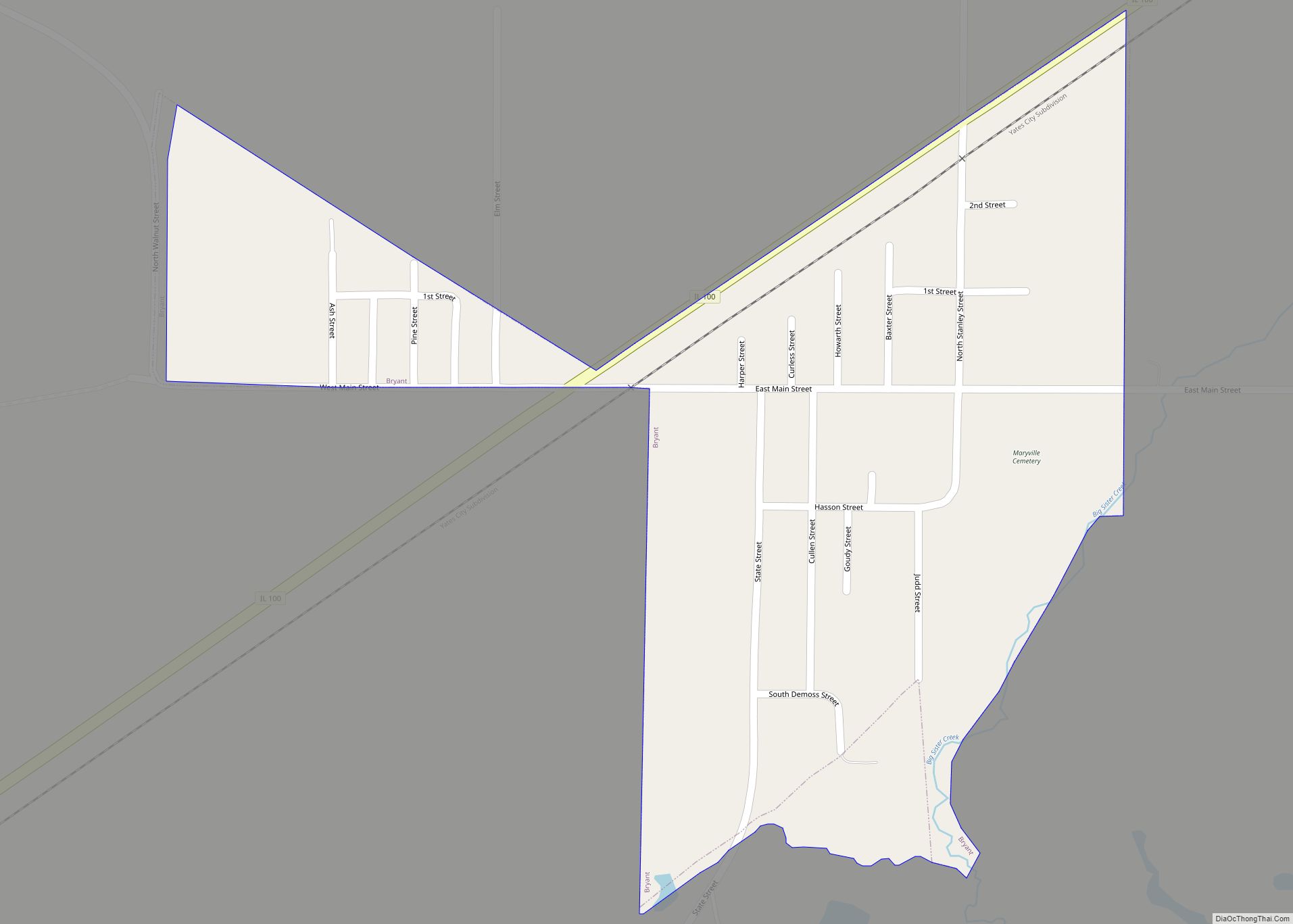
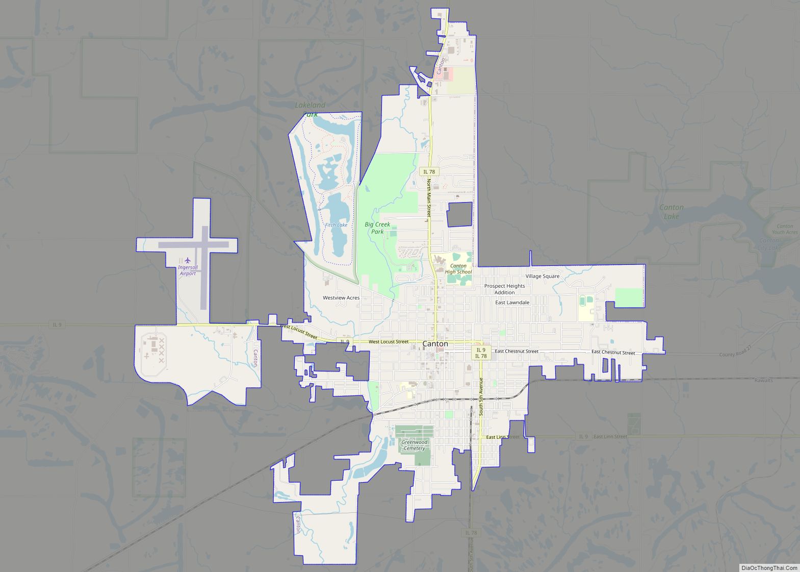
Fulton County is a county in the U.S. state of Illinois. According to the 2010 census, it had a population of 37,069. Its county seat is Lewistown, and the largest city is Canton. Fulton County comprises the Canton, IL Micropolitan Statistical Area, which is part of the Peoria-Canton, IL Combined Statistical Area.
| Name: | Fulton County |
|---|---|
| FIPS code: | 17-057 |
| State: | Illinois |
| Founded: | 1823 |
| Named for: | Robert Fulton |
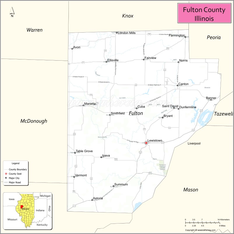
| Seat: | Lewistown |
| Largest city: | Canton |
| Total Area: | 883 sq mi (2,290 km²) |
| Land Area: | 866 sq mi (2,240 km²) |
| Total Population: | 37,069 |
| Time zone: | UTC−6 (Central) |
| Summer Time Zone (DST): | UTC−5 (CDT) |
| Website: | www.fultonco.org |
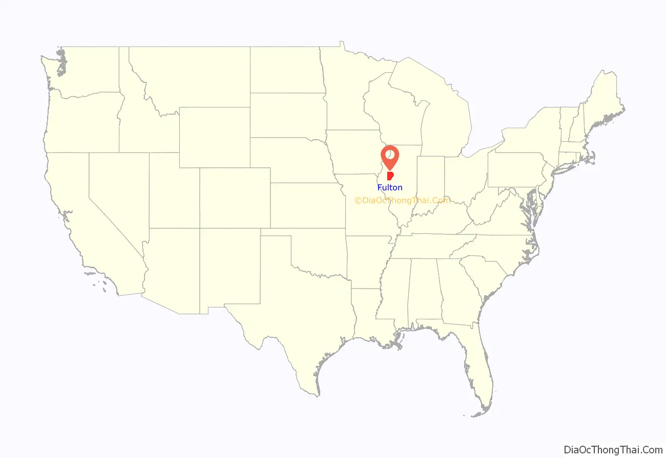
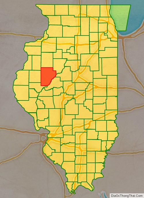
Fulton County location map. Where is Fulton County?
History
Fulton County was organized in 1823 from Pike County. It is named for Robert Fulton, developer of the first commercially successful steamboat. American poet and writer Edgar Lee Masters lived in Fulton County during the 1890s; he later became famous for the Spoon River Anthology, written in 1915. Fulton County was home to Camp Ellis during World War II.
The county is known for the annual Spoon River Scenic Drive, which occurs the first 2 weekends in October. This has been a tradition since 1968 and attracts thousands of participants from all over the country.
Fulton County is home to the Ogden-Fettie Site, a significant site for Havana Hopewell Native culture. It is the largest collection of Woodland Mounds in Illinois, with 35 Mounds, dating from 400 BC, arranged in a crescent.
Fulton County between 1823 and 1825, including unorganized territory temporarily attached.
Fulton County, reduced to its current size in 1825, its unorganized territory formed into new counties.
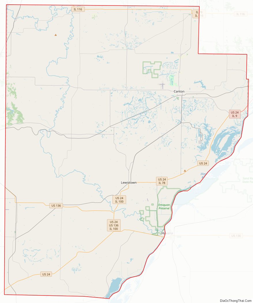
Fulton County Road Map
Geography
According to the US Census Bureau, the county has a total area of 883 square miles (2,290 km), of which 866 square miles (2,240 km) is land and 17 square miles (44 km) (1.9%) is water.
Fulton County is the site of Dickson Mounds Museum, a state museum of Native American daily life in the Illinois River valley.
Climate and weather
In recent years, average temperatures in the county seat of Lewistown have ranged from a low of 14 °F (−10 °C) in January to a high of 88 °F (31 °C) in July, although a record low of −30 °F (−34 °C) was recorded in January 1999 and a record high of 106 °F (41 °C) was recorded in July 1983. Average monthly precipitation ranged from 1.85 inches (47 mm) in January to 4.43 inches (113 mm) in May.
Adjacent counties
- Warren County – northwest
- Knox County – north
- Peoria County – northeast
- Tazewell County – east
- Mason County – south
- Schuyler County – southwest
- McDonough County – west
National protected area
- Emiquon National Wildlife Refuge
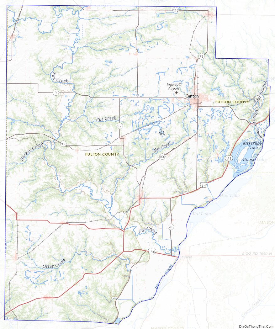
Fulton County Topographic Map
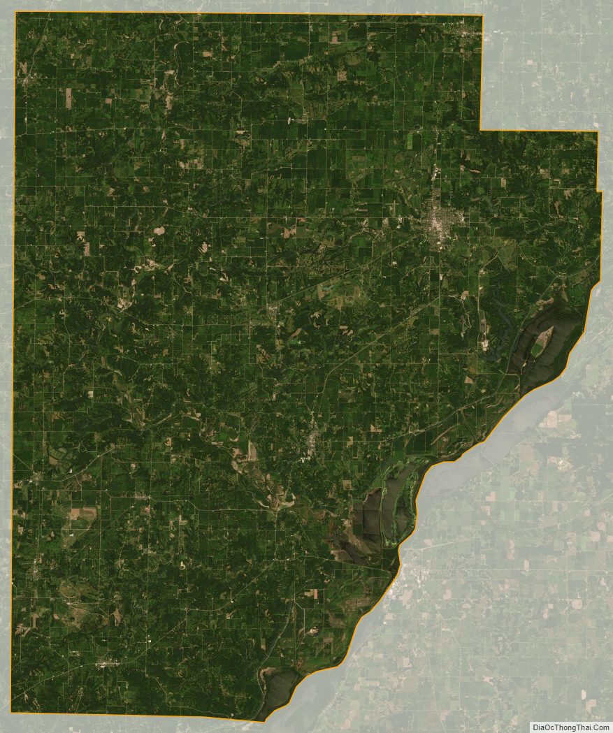
Fulton County Satellite Map
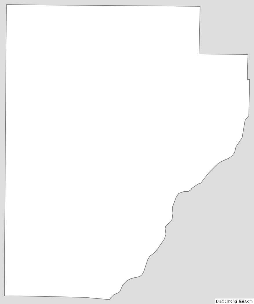
Fulton County Outline Map