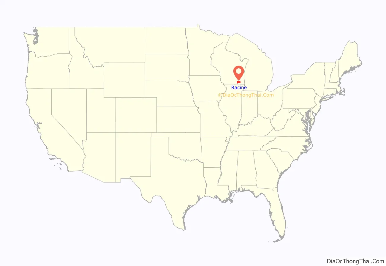
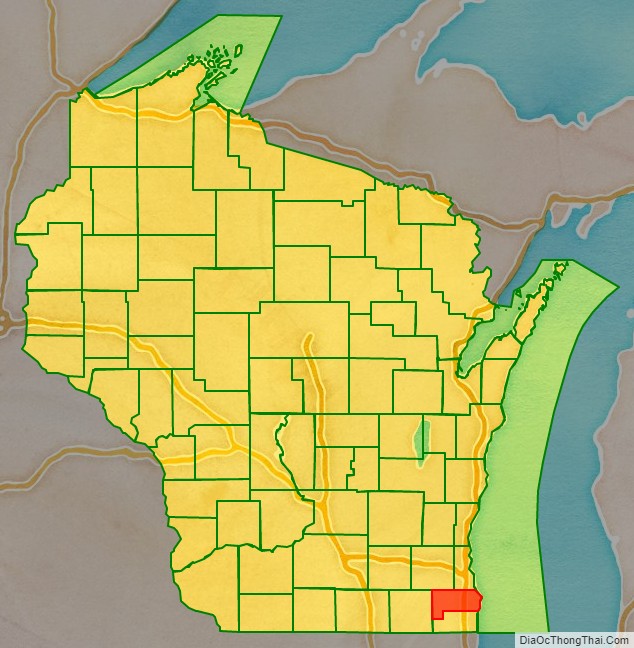
Racine County (rus-EEN, sometimes also ray-SEEN) is a county in southeastern Wisconsin. As of the 2020 census, its population was 197,727, making it Wisconsin’s fifth-most populous county. Its county seat is Racine. The county was founded in 1836, then a part of the Wisconsin Territory. Racine County comprises the Racine metropolitan statistical area. This area is part of the Milwaukee-Racine-Waukesha combined statistical area. According to the U.S. Census Bureau, the county has an area of 792 square miles (2,050 km), of which 333 square miles (860 km) is land and 460 square miles (1,200 km) (58%) is water. The county’s unemployment rate was 5.6% in June 2021.
| Name: | Racine County |
|---|---|
| FIPS code: | 55-101 |
| State: | Wisconsin |
| Founded: | December 7, 1836 |
| Seat: | Racine |
| Largest city: | Racine |
| Total Area: | 792 sq mi (2,050 km²) |
| Land Area: | 333 sq mi (860 km²) |
| Total Population: | 197,727 |
| Population Density: | 594.4/sq mi (229.5/km²) |
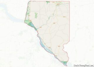
Racine County location map. Where is Racine County?
History
The Potawatomi people occupied the area of Racine County until European settlement. The Wisconsin Territory legislature established Racine County in 1836, separating it from Milwaukee County. Racine County originally extended to Wisconsin’s southern border and encompassed the land that is now Kenosha County, Wisconsin. Kenosha County was created as a separate entity in 1850.
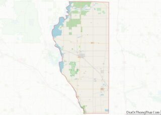
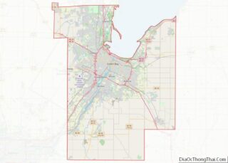
Racine County Road Map
Geography
- Milwaukee County (north)
- Ottawa County, Michigan (northeast)
- Allegan County, Michigan (southeast)
- Kenosha County (south)
- Walworth County (west)
- Waukesha County (northwest)
The Root River is the county’s namesake.
