| Name: | Waukesha County |
|---|---|
| FIPS code: | 55-133 |
| State: | Wisconsin |
| Largest city: | Waukesha |
| Total Area: | 581 sq mi (1,500 km²) |
| Land Area: | 550 sq mi (1,400 km²) |
| Total Population: | 406,978 |
| Population Density: | 740.3/sq mi (285.8/km²) |
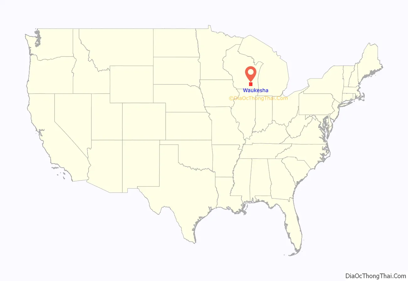
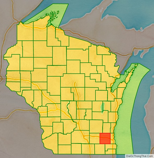
Waukesha County location map. Where is Waukesha County?
History
Known as forested and prairie land, the region was first home to Indigenous tribes like Menomonie, Ojibwe (Chippewa), Potawatomi, and Ho-Chunk (Winnebago), who practiced agriculture and trade. In 1836, Native American tribes formally lost title to the land when treaties were disregarded and were forcibly removed by the Federal Army. Prior to the 1830s, the area was unoccupied by settlers due to its inland location and the fact that the Fox River was not a water highway. The New England settlers only came to the area to set up fur trading posts between their new encampments and established cities like Milwaukee. Morris D. Cutler and Alonso Cutler, seeking claims for homesteads, were the first permanent white colonial settlers.
The part of Wisconsin that Waukesha County occupies was a part of Michigan Territory when Milwaukee County was organized in September 1834. On July 4, 1836, the Wisconsin Territory was formed, which included land that is now in the state of Minnesota. In January 1846, part of Milwaukee County was split off into Waukesha County. Curtis Reed was the first county chairman. When a vote decided the county seat, Waukesha defeated Pewaukee by two votes. The name is derived from the Potawatomi word for ‘fox’ because the streams in the lower part of the county drain into the Fox River.
Waukesha was a New England settlement, and Waukesha’s founders were settlers from New England, particularly Connecticut, rural Massachusetts, Vermont, New Hampshire and Maine, as well as from upstate New York who were born to parents who had migrated there from New England shortly after the American Revolution. These people were “Yankees” descended from the English Puritans who settled New England in the 1600s. They were part of a wave of New England farmers who headed west into what was the wilds of the Northwest Territory during the early 1800s. Most arrived as a result of the completion of the Erie Canal as well as the end of the Black Hawk War.
The New Englanders built farms, roads, government buildings and established post routes. They brought many of their Yankee New England values, such as a passion for education that led to the establishment of many schools as well as staunch support for abolitionism. They were mostly members of the Congregationalist Church, though some were Episcopalian. Due to the second Great Awakening some converted to Methodism, and others became Baptists before moving to what is now Waukesha County. Waukesha, like much of Wisconsin, would be culturally very continuous with early New England culture for most of its early history, before the state received a substantial influx of German immigrants in the latter half of the 19th century.
2011 Supreme Court Election
In 2011, the initial unofficial statewide tally in a Wisconsin Supreme Court election had Democratic challenger JoAnne Kloppenburg defeating incumbent justice David Prosser by a 204-vote margin. On the Thursday after the election, Waukesha County Clerk Kathy Nickolaus reported, among other smaller errors, a failure to report votes in the Waukesha city of Brookfield. The newly reported votes gave Prosser the lead, and he retained his seat. Media reports stemming from this incident referred to the county as “crucial Waukesha County,” and as of 2017, the phrase has continued to be widely used in U.S. political media as an in-joke, despite the county being a Republican stronghold.
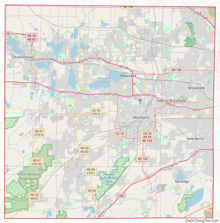
Waukesha County Road Map
Geography
According to the U.S. Census Bureau, the county has a total area of 581 square miles (1,500 km), of which 550 square miles (1,400 km) is land and 31 square miles (80 km) (5.3%) is water. The Fox River runs through it.
Waukesha County is located to the west of Milwaukee and its suburban development was spurred by the construction of Interstate 94 in Wisconsin.
Lake country
Because of its large number of lakes, the northwestern corner of Waukesha County is referred to as “Lake Country” by local residents. It includes Pewaukee, Delafield, Hartland, Merton, Nashotah, Chenequa, Okauchee Lake, Oconomowoc, Summit, and Lac La Belle.
Adjacent counties
- Washington County – north
- Ozaukee County – northeast
- Milwaukee County – east
- Racine County – southeast
- Walworth County – southwest
- Jefferson County – west
- Dodge County – northwest
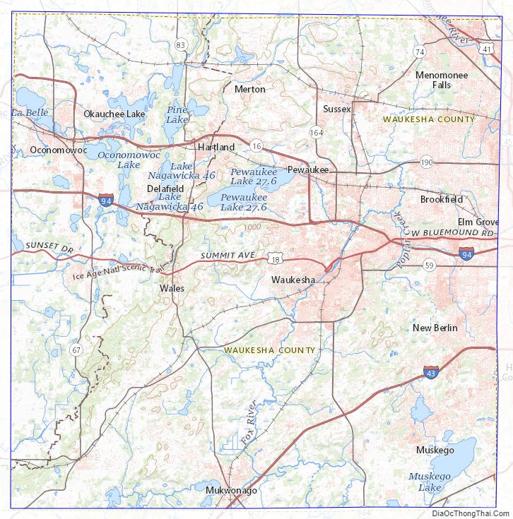
Waukesha County Topographic Map
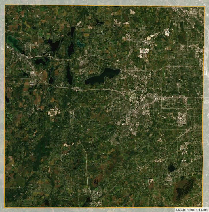
Waukesha County Satellite Map
Waukesha County Outline Map