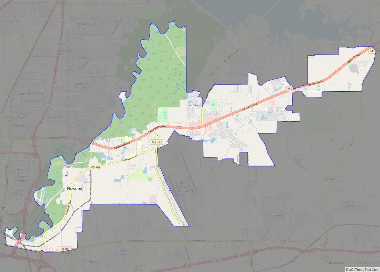
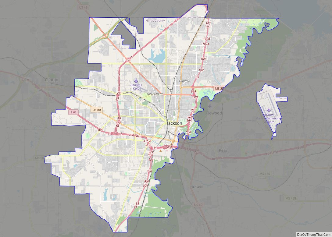
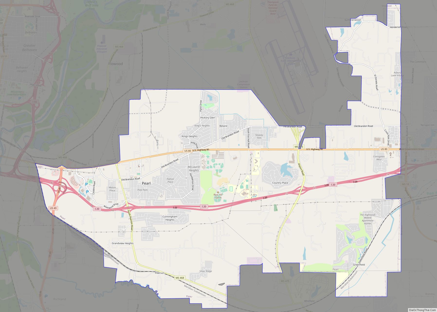
Rankin County is a county located in the U.S. state of Mississippi. The western border of the county is formed by the Pearl River. As of the 2020 census, the population was 157,031, making it the fourth-most populous county in Mississippi. The county seat is Brandon. The county is named in honor of Christopher Rankin, a Mississippi Congressman who served from 1819 to 1826.
Rankin County is part of the Jackson Metropolitan Statistical Area.
| Name: | Rankin County |
|---|---|
| FIPS code: | 28-121 |
| State: | Mississippi |
| Founded: | February 4, 1828 |
| Named for: | Christopher Rankin |
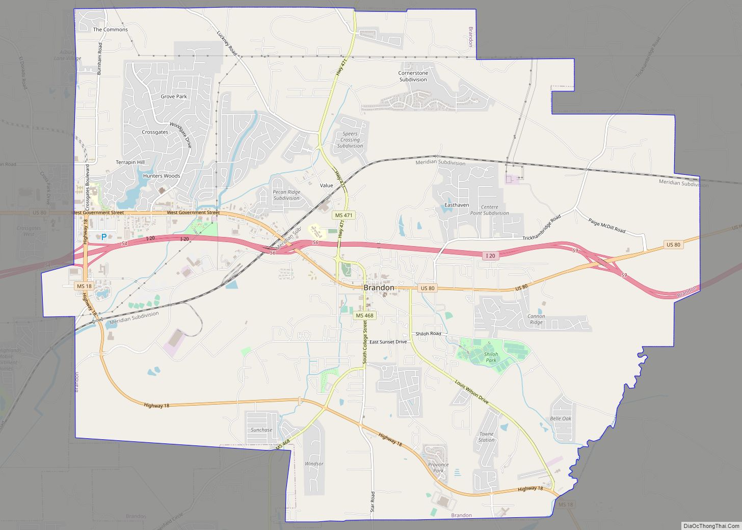
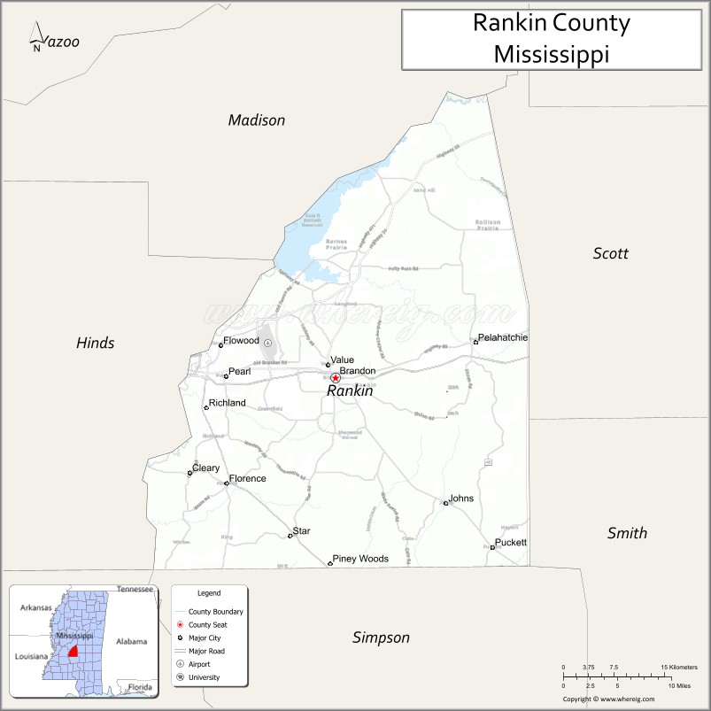
| Seat: | Brandon |
| Largest city: | Pearl |
| Total Area: | 806 sq mi (2,090 km²) |
| Land Area: | 775 sq mi (2,010 km²) |
| Total Population: | 157,031 |
| Population Density: | 190/sq mi (75/km²) |
| Time zone: | UTC−6 (Central) |
| Summer Time Zone (DST): | UTC−5 (CDT) |
| Website: | www.rankincounty.org |
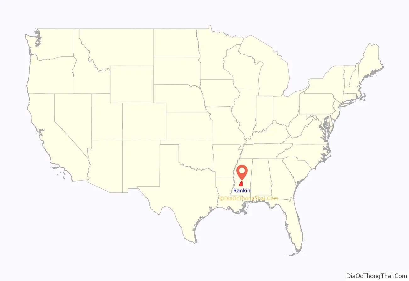
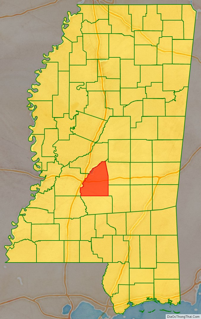
Rankin County location map. Where is Rankin County?
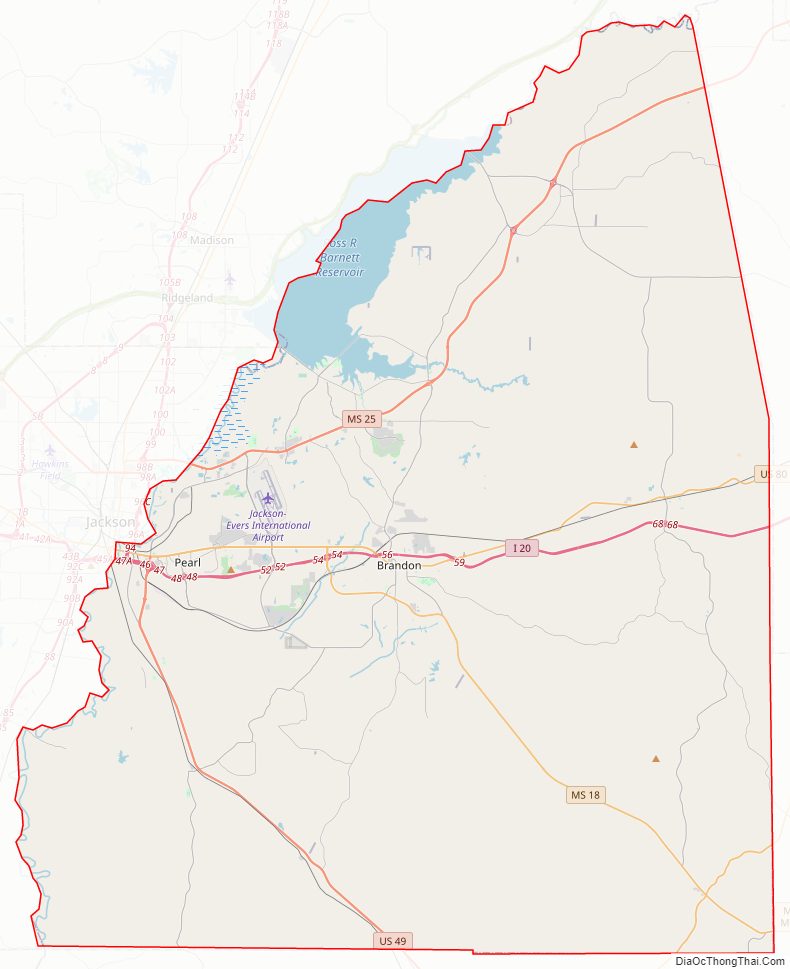
Rankin County Road Map
Geography
According to the U.S. Census Bureau, the county has a total area of 806 square miles (2,090 km), of which 775 square miles (2,010 km) is land and 31 square miles (80 km) (3.8%) is water.
Adjacent counties
- Madison County (north)
- Scott County (east)
- Smith County (southeast)
- Simpson County (south)
- Hinds County (west)
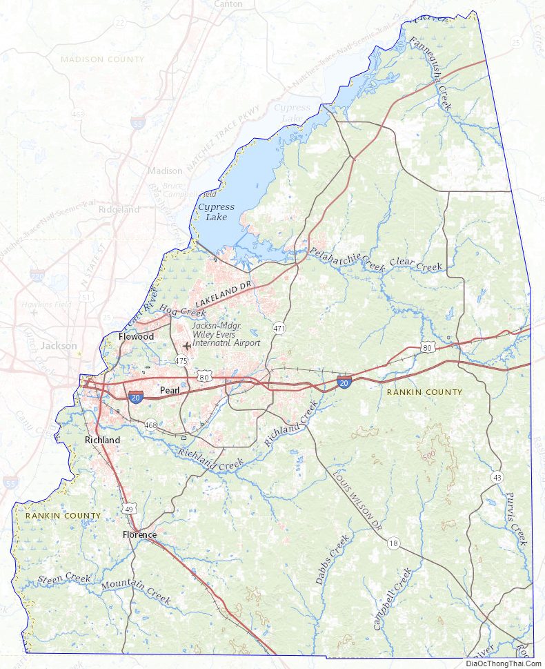
Rankin County Topographic Map
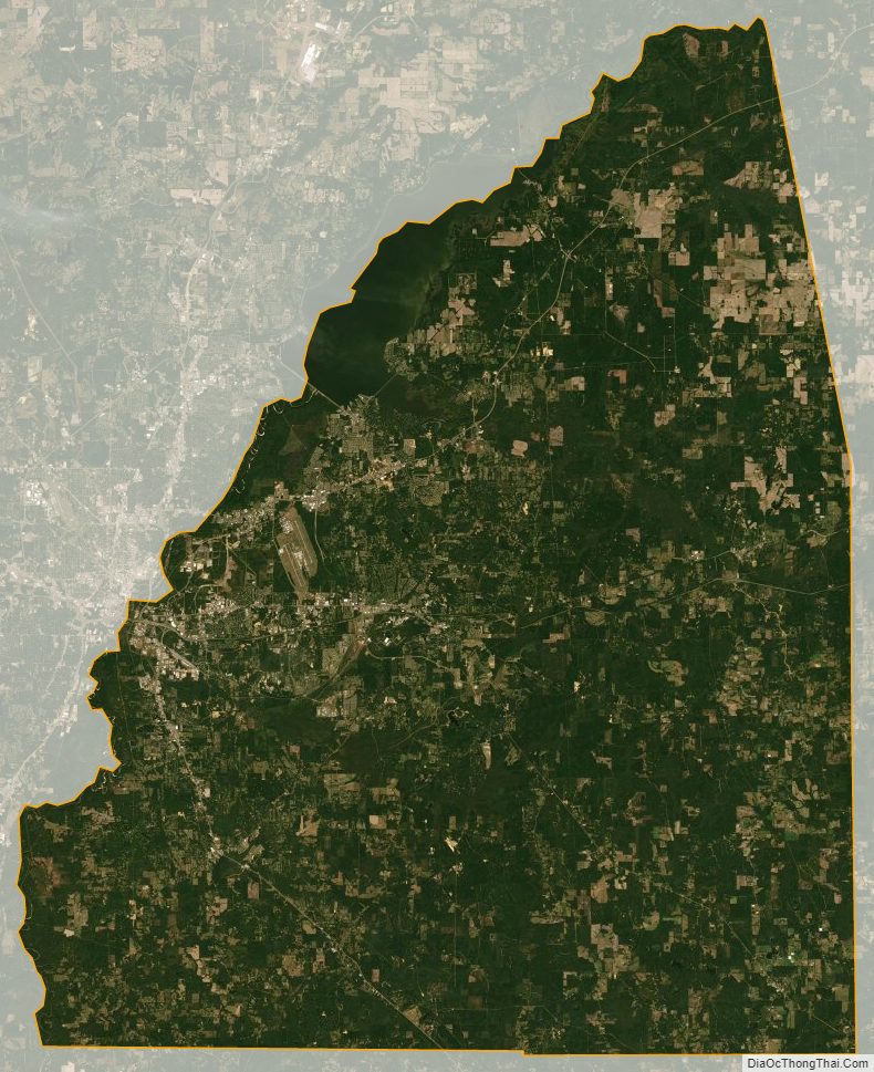
Rankin County Satellite Map
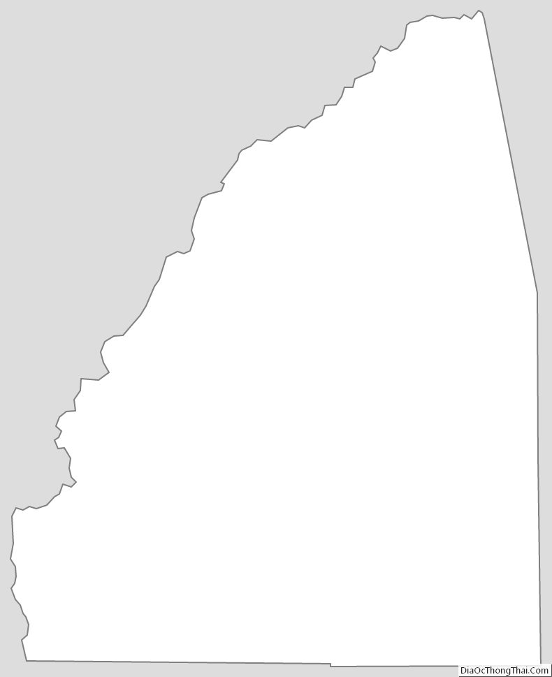
Rankin County Outline Map