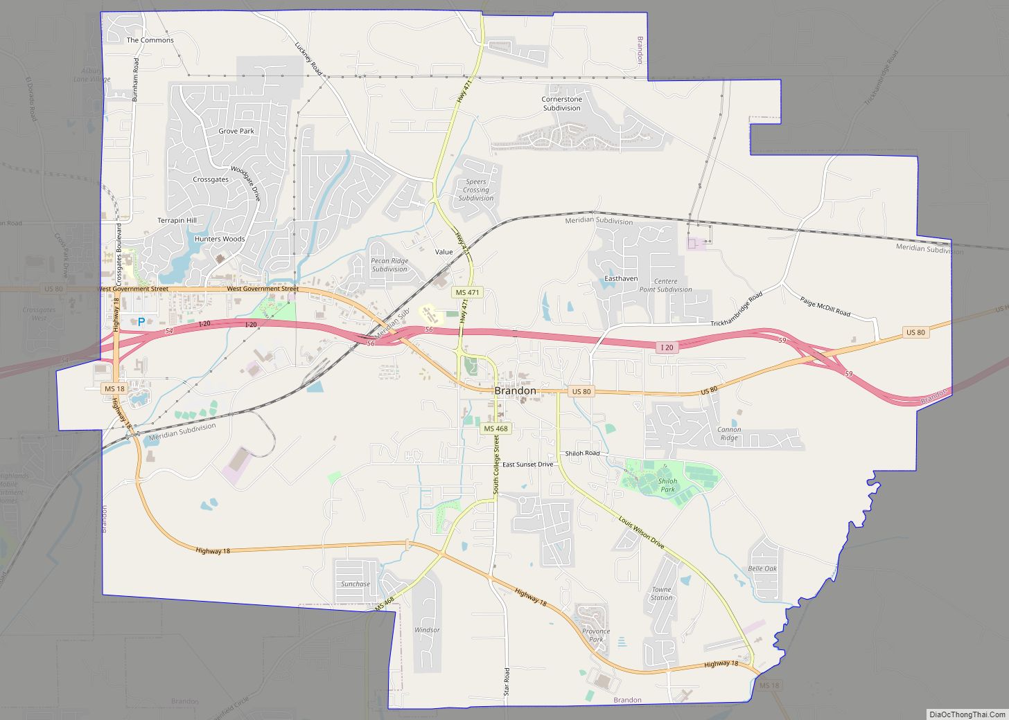
Brandon is a city in and the county seat of Rankin County, Mississippi, United States. It was incorporated on December 19, 1831. The population was 25,138 in the 2020 census. Brandon is part of the Jackson Metropolitan Statistical Area, and is located east of the state capital.
| Name: | Brandon city |
|---|---|
| LSAD Code: | 25 |
| LSAD Description: | city (suffix) |
| State: | Mississippi |
| County: | Rankin County |
| Elevation: | 482 ft (147 m) |
| Total Area: | 25.75 sq mi (66.70 km²) |
| Land Area: | 25.66 sq mi (66.47 km²) |
| Water Area: | 0.09 sq mi (0.23 km²) |
| Total Population: | 25,138 |
| Population Density: | 979.54/sq mi (378.20/km²) |
| ZIP code: | 39042, 39043, 39047 |
| Area code: | 601 |
| FIPS code: | 2808300 |
| GNISfeature ID: | 0667519 |
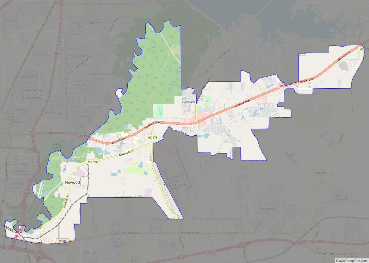
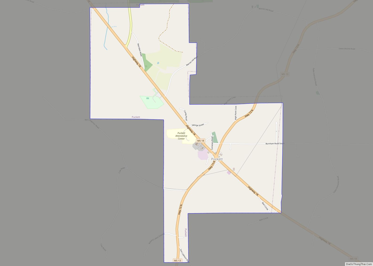
Online Interactive Map
Click on ![]() to view map in "full screen" mode.
to view map in "full screen" mode.
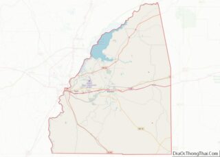
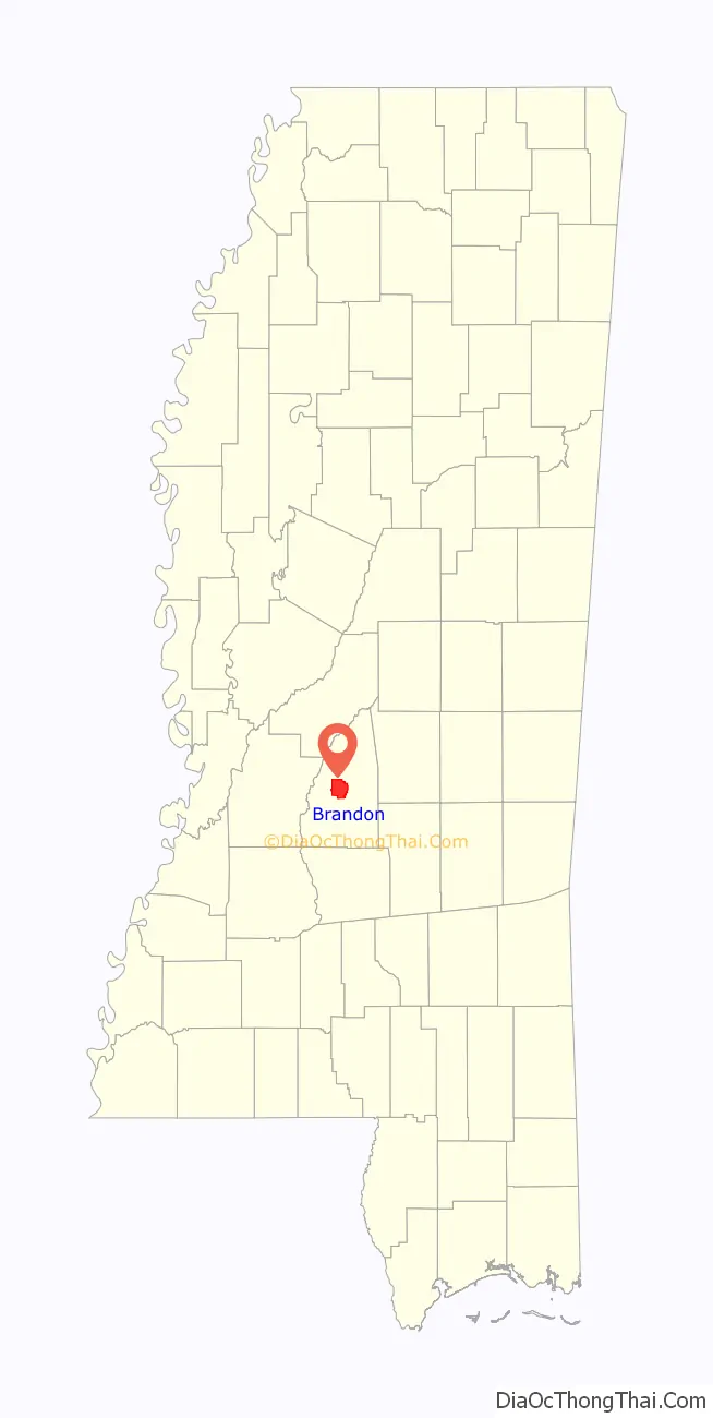
Brandon location map. Where is Brandon city?

History
The city is named for Gerard Brandon, Governor of Mississippi during the early 1800s. A newspaper, The News, was established in 1892. The Brandon Bank was established in 1900, and The Rankin County Bank was established in 1906. In 1900, Brandon had a school, a telephone and telegraph office, a saw mill, two livery stables, two cotton gins, two hotels, six churches, and fifteen or twenty stores. The population was 775.
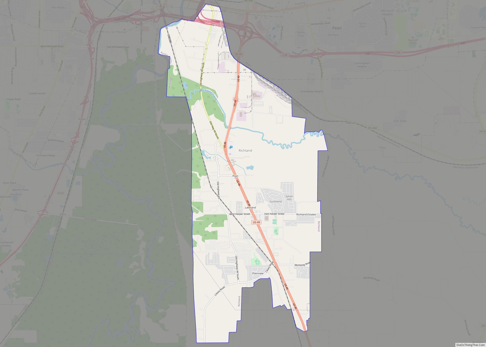
Brandon Road Map

Brandon city Satellite Map

Geography
According to the United States Census Bureau, the city has a total area of 21.3 square miles (55.3 km), of which 21.3 square miles (55.1 km) is land and 0.1 square mile (0.2 km) (0.37%) is water.
See also
Map of Mississippi State and its subdivision:- Adams
- Alcorn
- Amite
- Attala
- Benton
- Bolivar
- Calhoun
- Carroll
- Chickasaw
- Choctaw
- Claiborne
- Clarke
- Clay
- Coahoma
- Copiah
- Covington
- Desoto
- Forrest
- Franklin
- George
- Greene
- Grenada
- Hancock
- Harrison
- Hinds
- Holmes
- Humphreys
- Issaquena
- Itawamba
- Jackson
- Jasper
- Jefferson
- Jefferson Davis
- Jones
- Kemper
- Lafayette
- Lamar
- Lauderdale
- Lawrence
- Leake
- Lee
- Leflore
- Lincoln
- Lowndes
- Madison
- Marion
- Marshall
- Monroe
- Montgomery
- Neshoba
- Newton
- Noxubee
- Oktibbeha
- Panola
- Pearl River
- Perry
- Pike
- Pontotoc
- Prentiss
- Quitman
- Rankin
- Scott
- Sharkey
- Simpson
- Smith
- Stone
- Sunflower
- Tallahatchie
- Tate
- Tippah
- Tishomingo
- Tunica
- Union
- Walthall
- Warren
- Washington
- Wayne
- Webster
- Wilkinson
- Winston
- Yalobusha
- Yazoo
- Alabama
- Alaska
- Arizona
- Arkansas
- California
- Colorado
- Connecticut
- Delaware
- District of Columbia
- Florida
- Georgia
- Hawaii
- Idaho
- Illinois
- Indiana
- Iowa
- Kansas
- Kentucky
- Louisiana
- Maine
- Maryland
- Massachusetts
- Michigan
- Minnesota
- Mississippi
- Missouri
- Montana
- Nebraska
- Nevada
- New Hampshire
- New Jersey
- New Mexico
- New York
- North Carolina
- North Dakota
- Ohio
- Oklahoma
- Oregon
- Pennsylvania
- Rhode Island
- South Carolina
- South Dakota
- Tennessee
- Texas
- Utah
- Vermont
- Virginia
- Washington
- West Virginia
- Wisconsin
- Wyoming