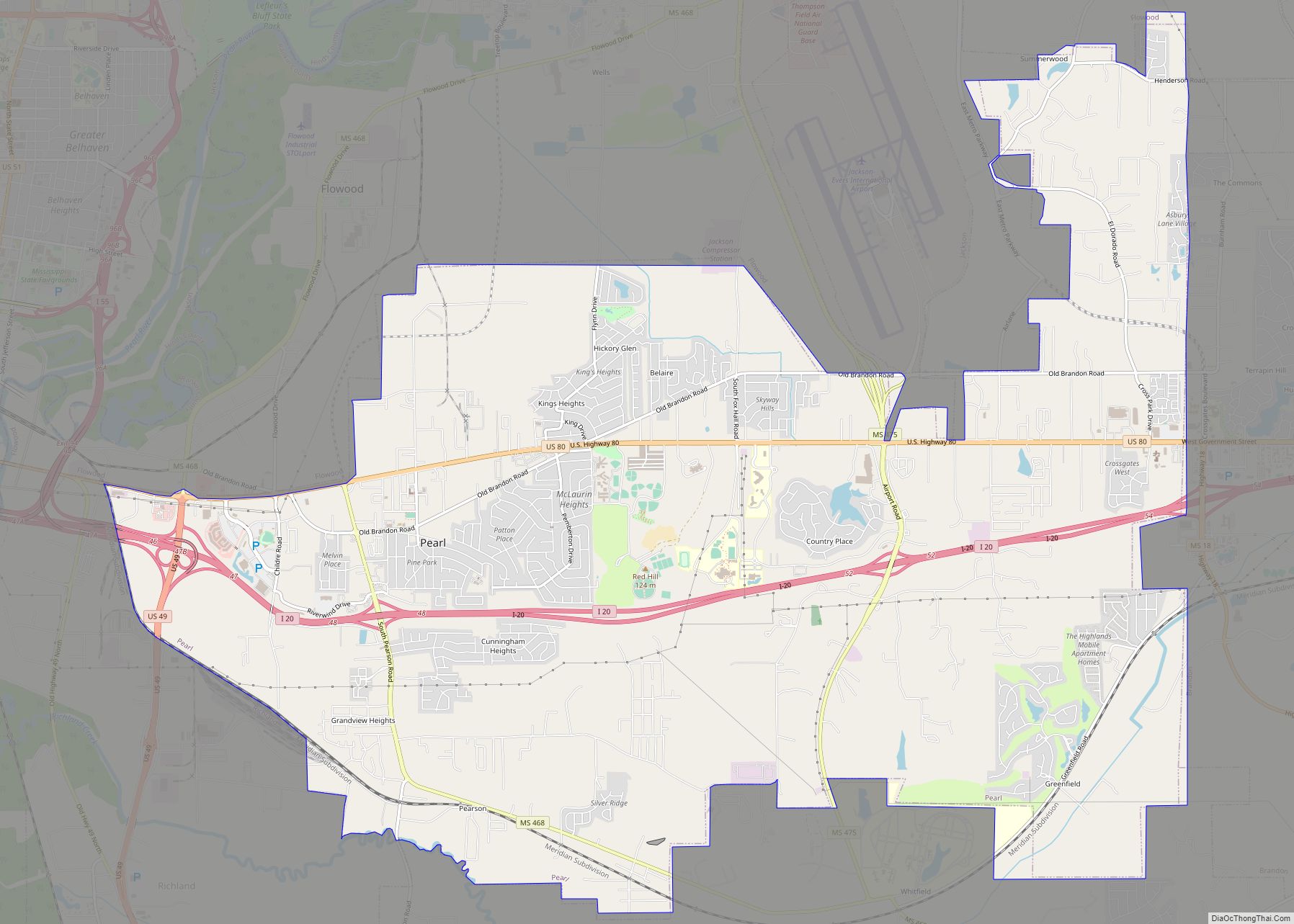
Pearl is a city in Rankin County, Mississippi, United States, located on the east side of the Pearl River across from the state capital Jackson. The population was 27,115 as of the 2020 census. It is part of the Jackson Metropolitan Statistical Area.
Pearl is the 13th largest city in the state and the largest city in Rankin County.
| Name: | Pearl city |
|---|---|
| LSAD Code: | 25 |
| LSAD Description: | city (suffix) |
| State: | Mississippi |
| County: | Rankin County |
| Founded: | 1865 |
| Elevation: | 276 ft (84.1 m) |
| Total Area: | 25.61 sq mi (66.33 km²) |
| Land Area: | 25.49 sq mi (66.01 km²) |
| Water Area: | 0.12 sq mi (0.32 km²) |
| Total Population: | 27,115 |
| Population Density: | 1,063.92/sq mi (410.78/km²) |
| Area code: | 601, 769 |
| FIPS code: | 2855760 |
| GNISfeature ID: | 0675537 |
| Website: | http://www.cityofpearl.com |
Online Interactive Map
Click on ![]() to view map in "full screen" mode.
to view map in "full screen" mode.
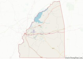
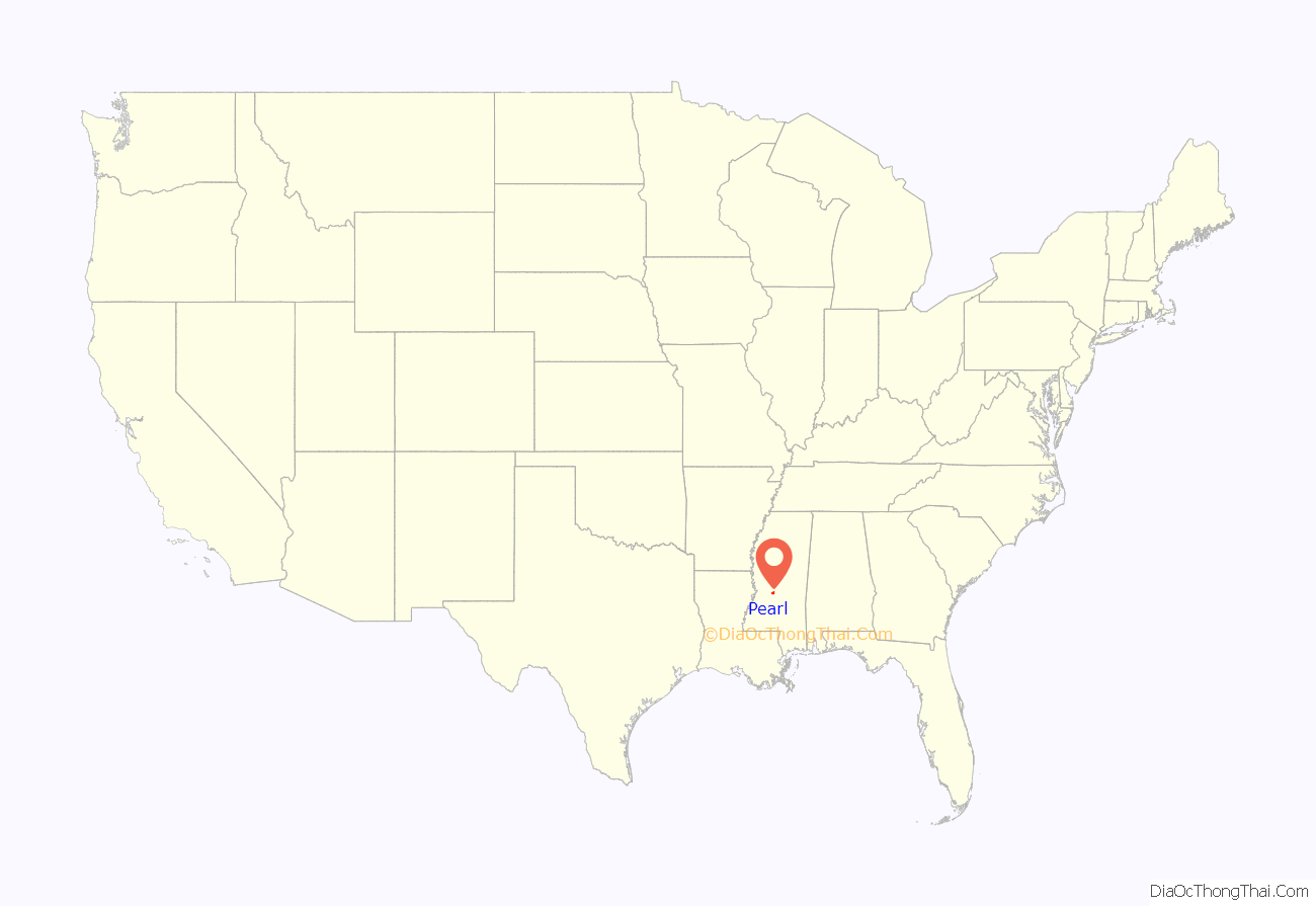
Pearl location map. Where is Pearl city?

History
After the American Civil War, the bottomlands of the Pearl River were developed for agriculture. The population was sparse until the mid-1900s when the development of the state capital of Jackson in Hinds County to the west spilled over into Rankin County. New residents and industry settled here. Thereafter, growth in the area came from the urban expansion of the capital, control of flood threats from the Pearl River, and improved transportation due to accessible interstates and Jackson-Evers International Airport.
On September 16, 1968, a community meeting was held to discuss the incorporation of Pearl, with all but six of the 657 attending residents favoring incorporation. A “Boundary Committee” proposed several possible boundaries a little more than a month later. The following January the community voted for an 11 square miles (28 km) boundary that included the Pearl River to Airport Road, excluding East Jackson and all areas south of Interstate 20 except Cunningham Heights and Grandview Heights. A majority at that meeting also agreed to name the city “Pearl”, rather than the alternative proposals of “Riverview” or “Brightsville”.
Pearl was affected by the violence of the Ku Klux Klan, and was white-only for most of the 20th Century. In 1970, Pearl had 9,613 white residents and 10 black residents. By the 1990s Pearl had become more racially integrated, and by 2010 blacks made up 23% of the population.
The first mayor, Harris Harvey, was elected, along with council members Jimmy Joe Thompson, W.D. McAlpin, James Netherland, Ophelia Byrd, Mack C Atwood, W.L. Maddox, and Bobby Joe Davis. With the Mississippi Supreme Court ruling of June 5, 1973, the incorporation could proceed. A week later, the state legislature issued a charter. On June 29, 1973, Governor William Winter presided over the first annual Pearl Day Celebration, with the swearing in of the city’s new officials, who met for the first time on July 3, 1973.
The Pearl Municipal Separate School District was created on May 18, 1976, by an Ordinance of the City of Pearl Mayor and Board of Aldermen. The first franchise by the City of Pearl for cable television installation was granted on July 6, 1976. The Pearl Chamber of Commerce was formed on August 24, 1978.
On October 1, 1997, Luke Woodham went on a shooting spree that ended at Pearl High School, killing two and injuring seven, after earlier stabbing his mother to death.
Over the years the city has redeveloped the former Pearl High School into City Hall, including the Pearl Police Department, public works departments, and city courts. A large auditorium-style Community Center was built next door. Its clock tower is inscribed with the names of graduates of Pearl High School for the period 1949 through 1989 while the high school occupied the building. A 25,000 sq ft (2,300 m) library opened near City Hall on July 18, 2005.
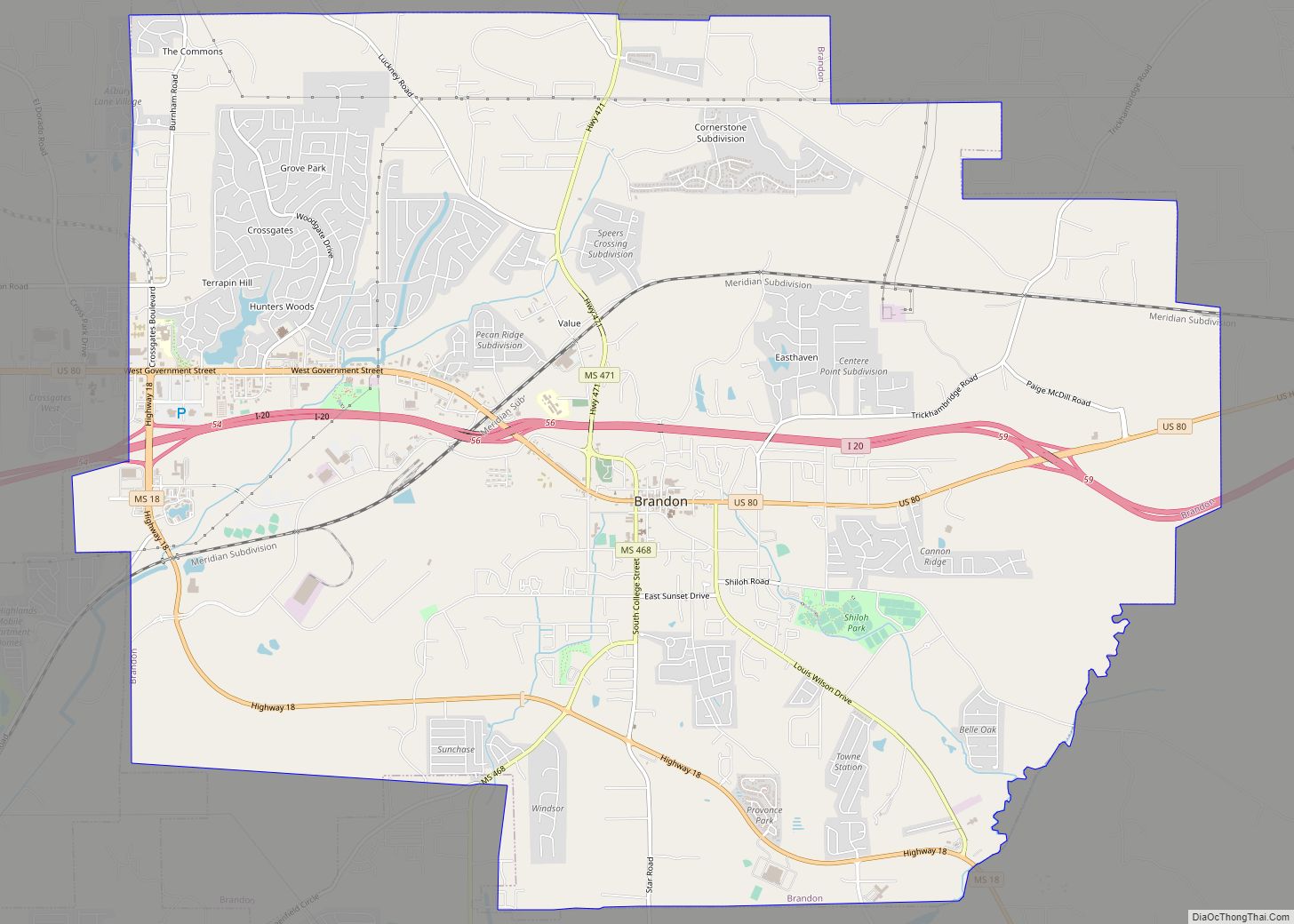
Pearl Road Map
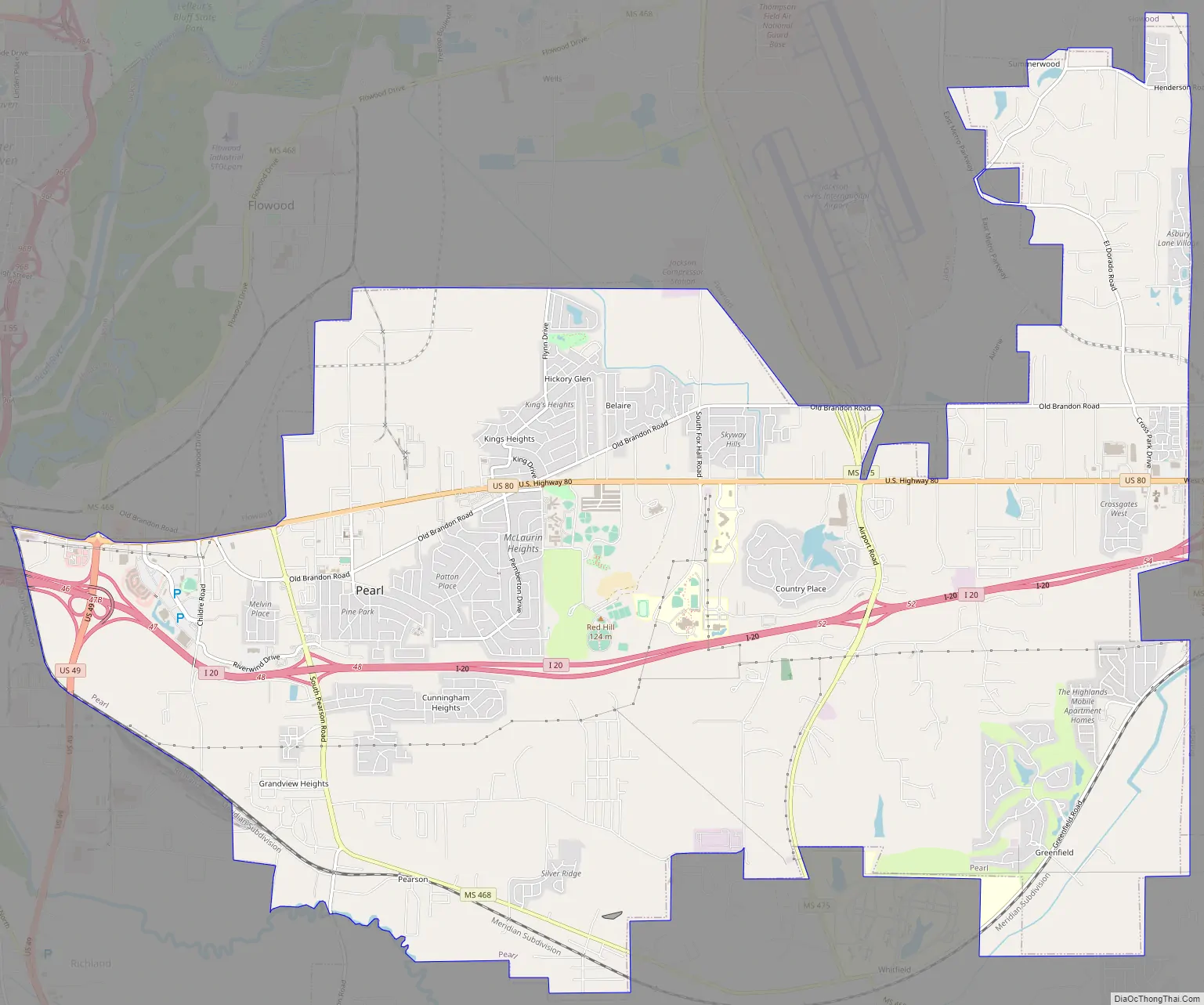
Pearl city Satellite Map

Geography
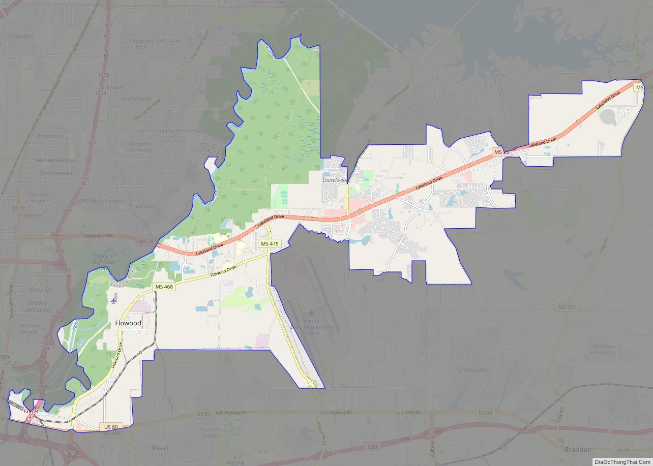
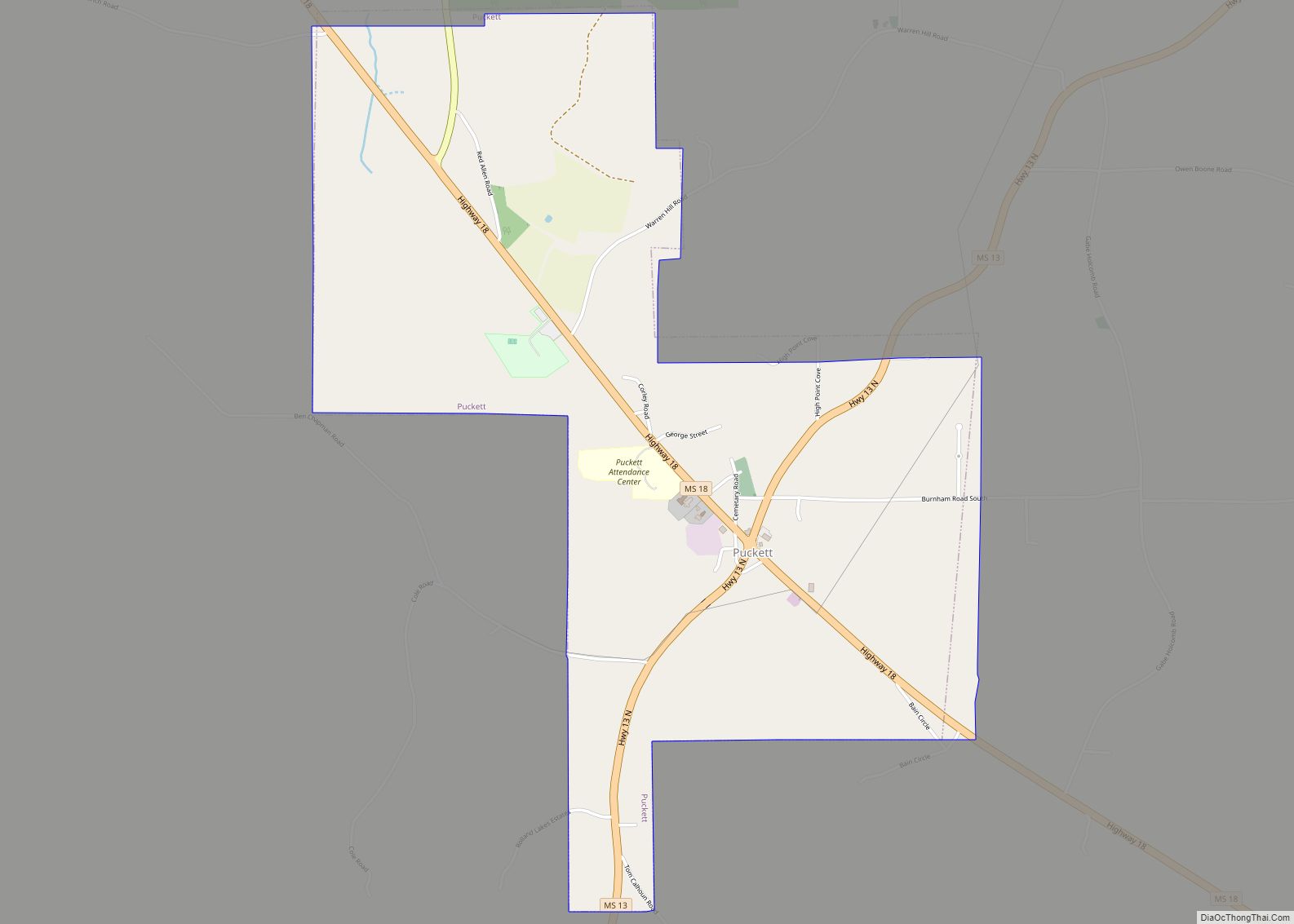
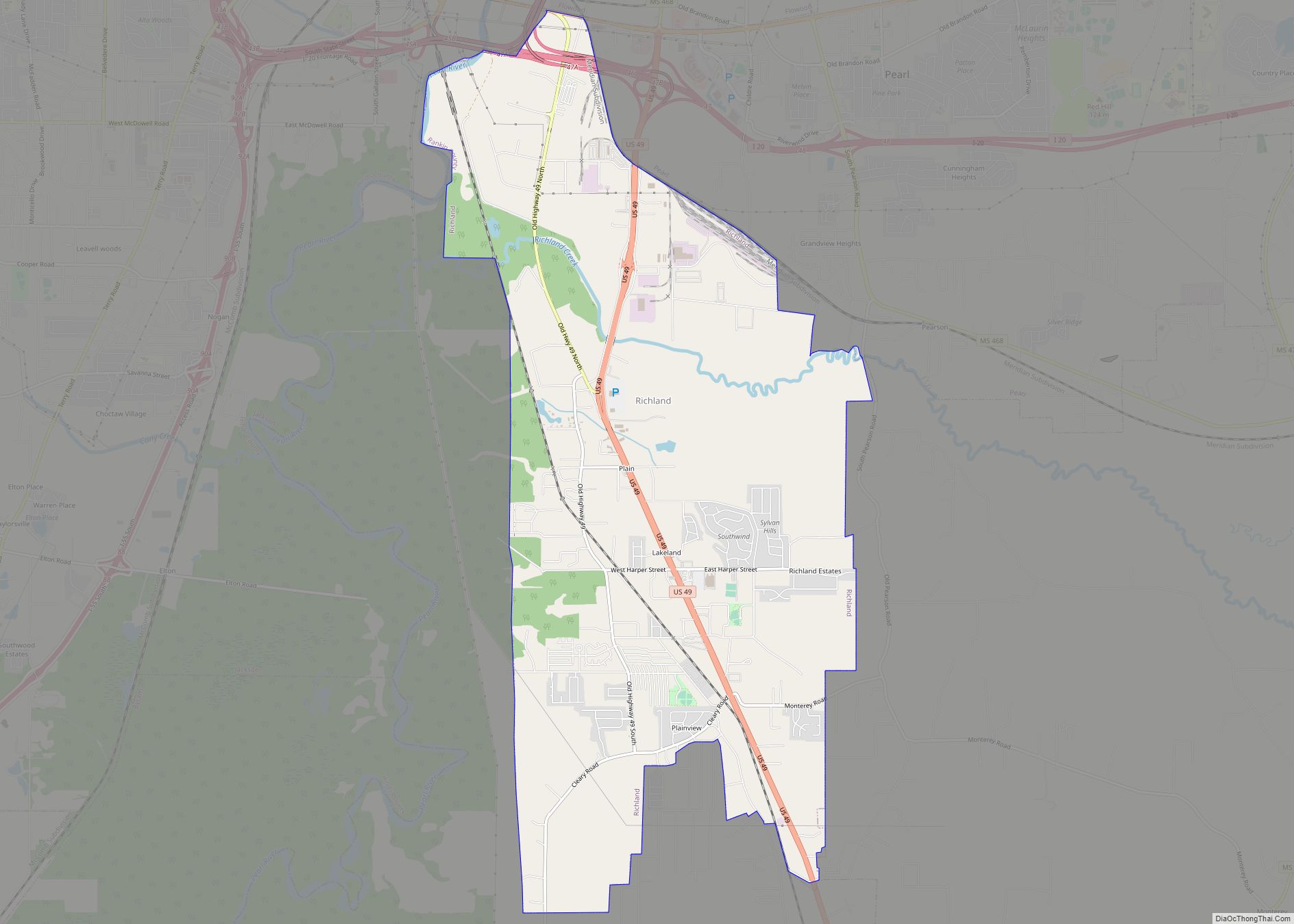
According to the United States Census Bureau, the city has a total area of 22.0 square miles (57 km), of which 21.8 square miles (56 km) is land and 0.2 square miles (0.52 km) (1.00%) is water. Neighboring settlements include Flowood, Brandon, Richland, and the state capital Jackson.
According to its 2008 Annual Drinking Water Quality Report, Pearl’s drinking water comes from the Sparta Sand Aquifer via nine wells that draw the water from it.
See also
Map of Mississippi State and its subdivision:- Adams
- Alcorn
- Amite
- Attala
- Benton
- Bolivar
- Calhoun
- Carroll
- Chickasaw
- Choctaw
- Claiborne
- Clarke
- Clay
- Coahoma
- Copiah
- Covington
- Desoto
- Forrest
- Franklin
- George
- Greene
- Grenada
- Hancock
- Harrison
- Hinds
- Holmes
- Humphreys
- Issaquena
- Itawamba
- Jackson
- Jasper
- Jefferson
- Jefferson Davis
- Jones
- Kemper
- Lafayette
- Lamar
- Lauderdale
- Lawrence
- Leake
- Lee
- Leflore
- Lincoln
- Lowndes
- Madison
- Marion
- Marshall
- Monroe
- Montgomery
- Neshoba
- Newton
- Noxubee
- Oktibbeha
- Panola
- Pearl River
- Perry
- Pike
- Pontotoc
- Prentiss
- Quitman
- Rankin
- Scott
- Sharkey
- Simpson
- Smith
- Stone
- Sunflower
- Tallahatchie
- Tate
- Tippah
- Tishomingo
- Tunica
- Union
- Walthall
- Warren
- Washington
- Wayne
- Webster
- Wilkinson
- Winston
- Yalobusha
- Yazoo
- Alabama
- Alaska
- Arizona
- Arkansas
- California
- Colorado
- Connecticut
- Delaware
- District of Columbia
- Florida
- Georgia
- Hawaii
- Idaho
- Illinois
- Indiana
- Iowa
- Kansas
- Kentucky
- Louisiana
- Maine
- Maryland
- Massachusetts
- Michigan
- Minnesota
- Mississippi
- Missouri
- Montana
- Nebraska
- Nevada
- New Hampshire
- New Jersey
- New Mexico
- New York
- North Carolina
- North Dakota
- Ohio
- Oklahoma
- Oregon
- Pennsylvania
- Rhode Island
- South Carolina
- South Dakota
- Tennessee
- Texas
- Utah
- Vermont
- Virginia
- Washington
- West Virginia
- Wisconsin
- Wyoming