Alexandria is the ninth-largest city in the state of Louisiana and is the parish seat of Rapides Parish, Louisiana, United States. It lies on the south bank of the Red River in almost the exact geographic center of the state. It is the principal city of the Alexandria metropolitan area (population 153,922) which encompasses all of Rapides and Grant parishes. Its neighboring city is Pineville. In 2010, the population was 47,723, an increase of 3 percent from the 2000 census.
| Name: | Alexandria city |
|---|---|
| LSAD Code: | 25 |
| LSAD Description: | city (suffix) |
| State: | Louisiana |
| County: | Rapides Parish |
| Incorporated: | 1818 |
| Elevation: | 75 ft (23 m) |
| Land Area: | 28.49 sq mi (73.79 km²) |
| Water Area: | 0.69 sq mi (1.79 km²) |
| Population Density: | 1,589.10/sq mi (613.56/km²) |
| ZIP code: | 71301-03, 06–07, 09, 11, 15 |
| Area code: | 318 |
| FIPS code: | 2200975 |
| Website: | www.cityofalexandriala.com |
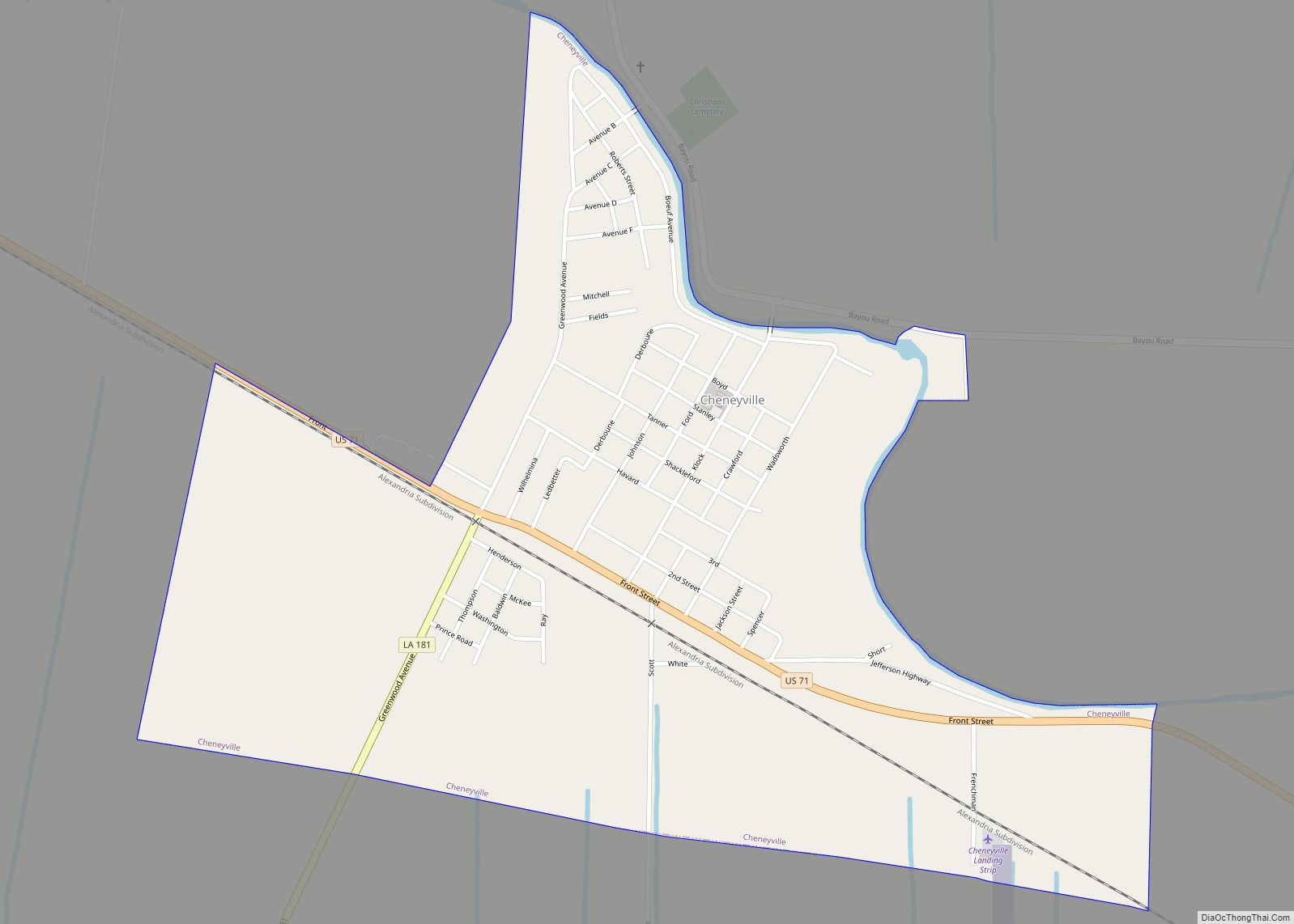
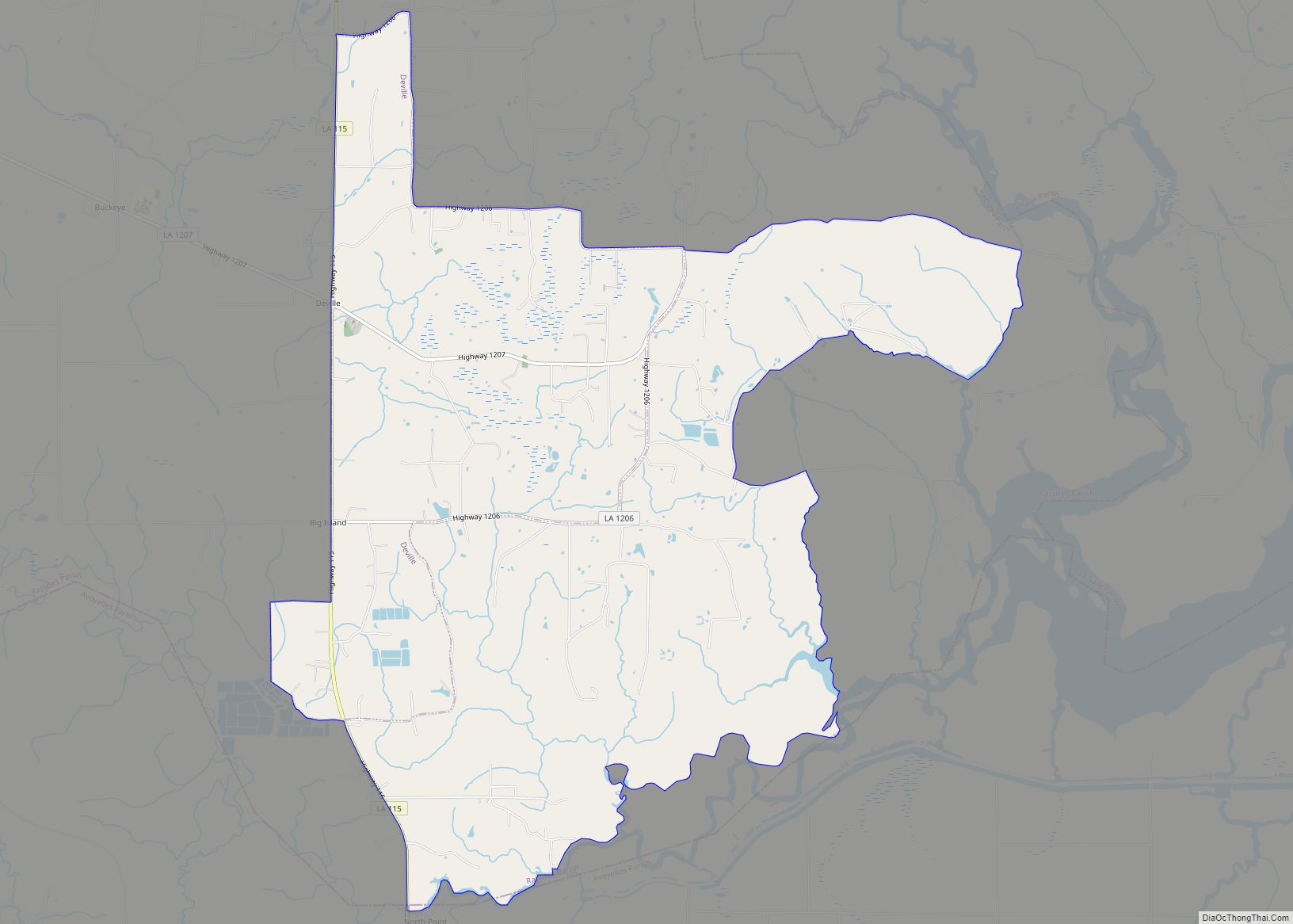
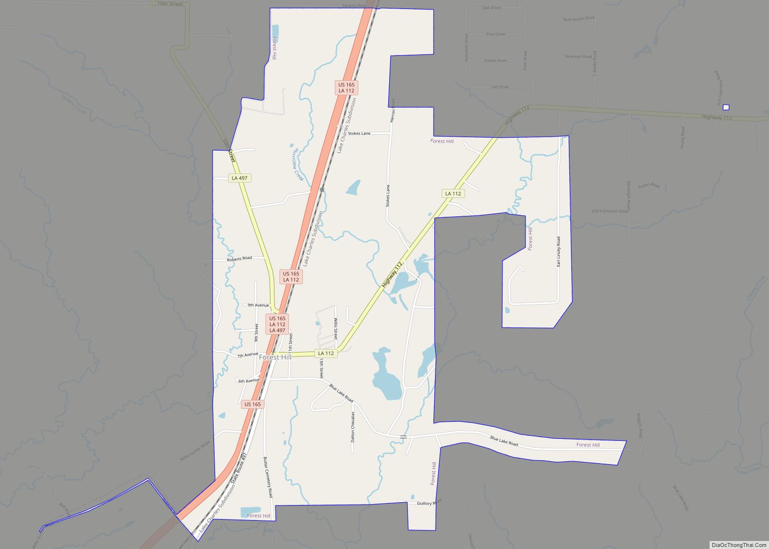
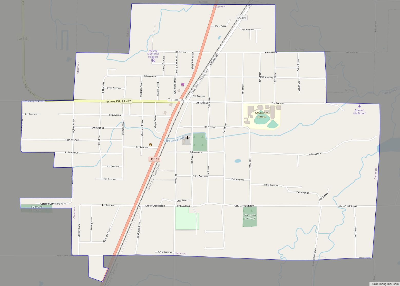
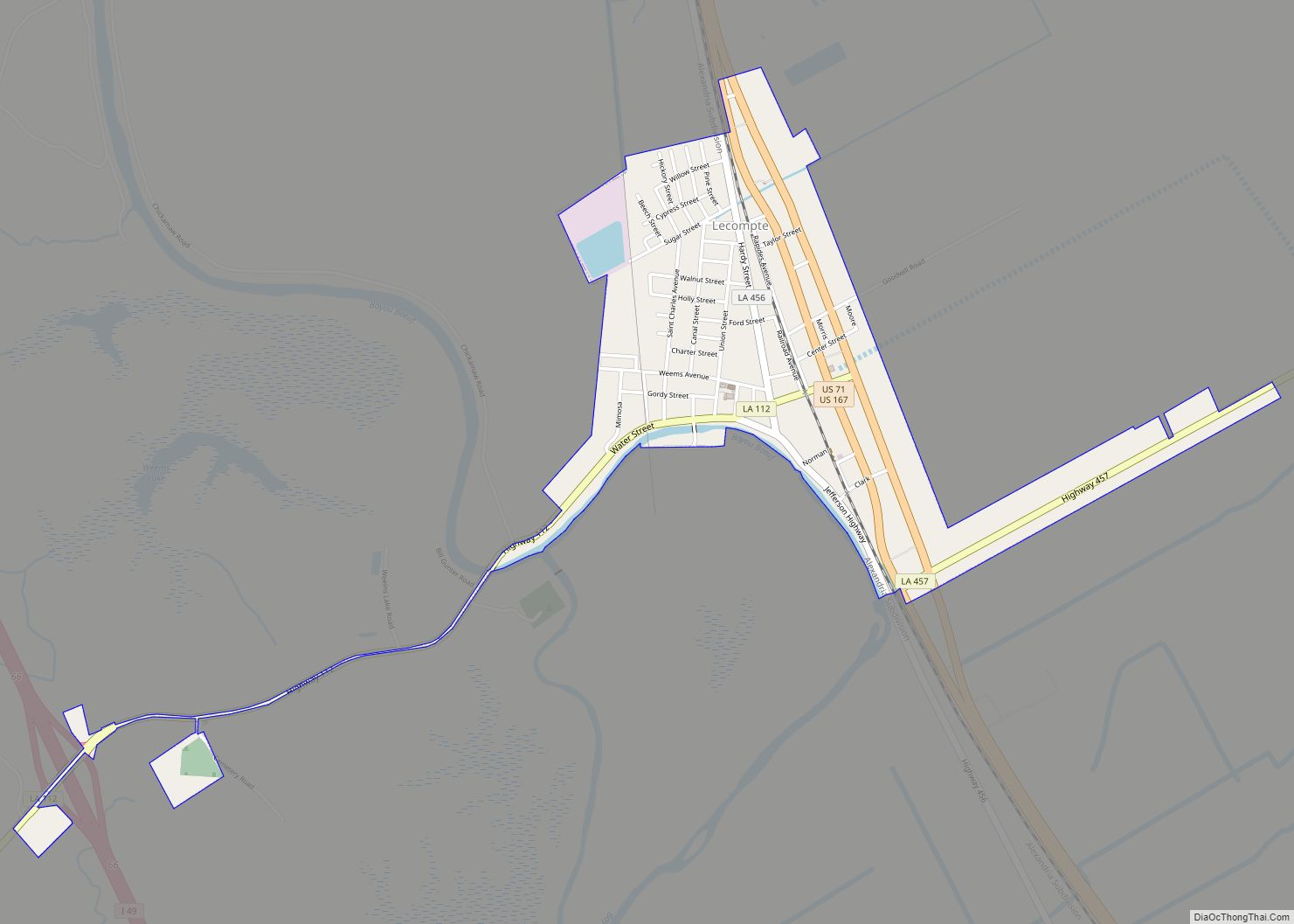
Online Interactive Map
Click on ![]() to view map in "full screen" mode.
to view map in "full screen" mode.
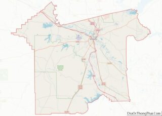
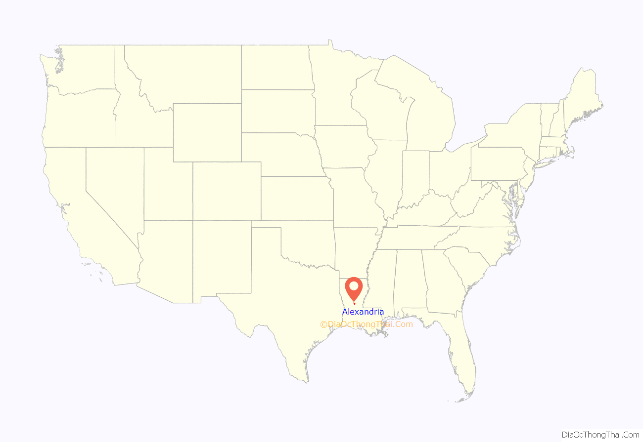
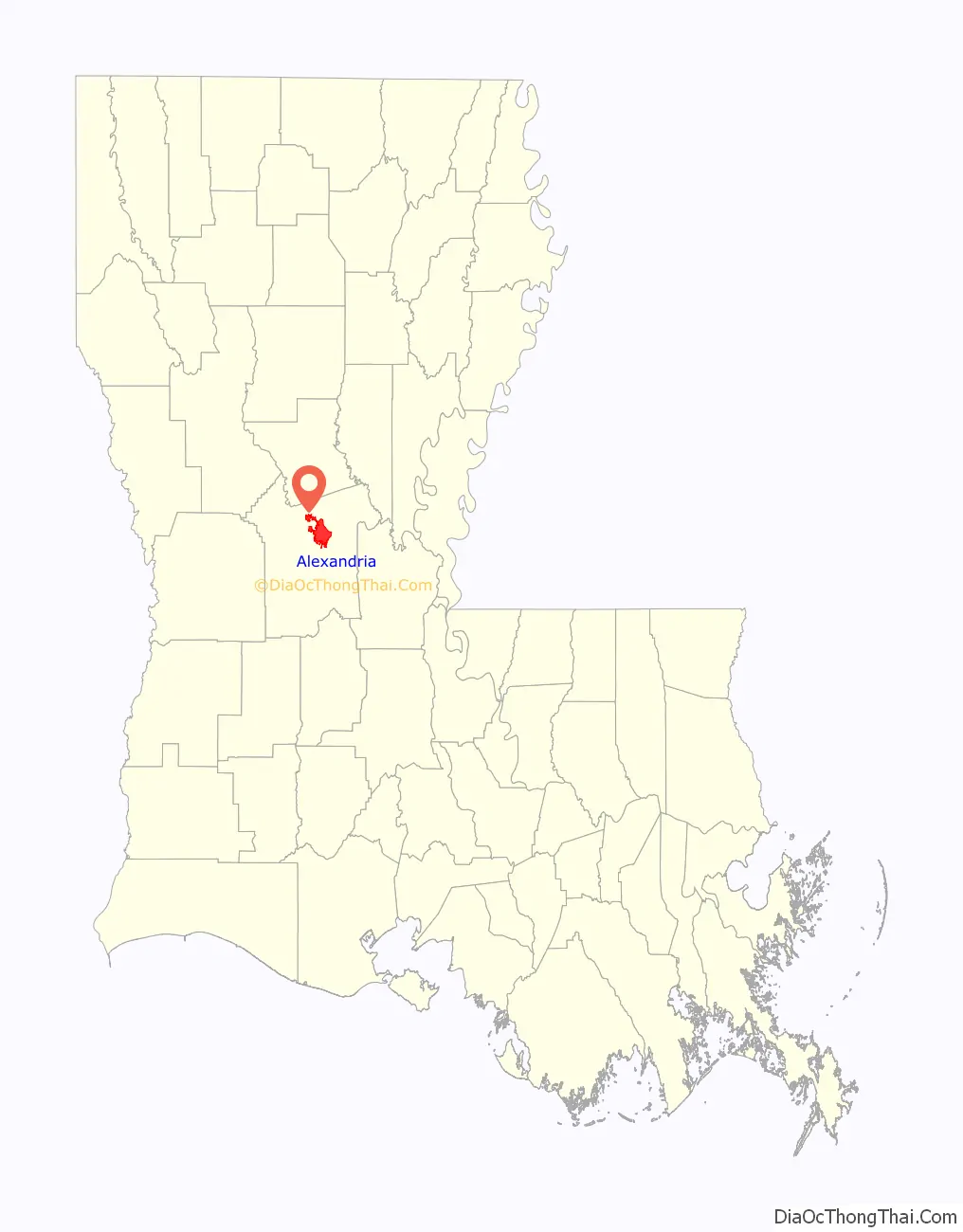
Alexandria location map. Where is Alexandria city?
History
Located along the Red River, the city of Alexandria was originally home to a community which supported activities of the adjacent French trader outpost of Post du Rapides. The area developed as an assemblage of traders, Caddo people, and merchants in the agricultural lands bordering the mostly unsettled areas to the north and providing a link from the south to the El Camino Real and then larger settlement of Natchitoches, the oldest permanent settlement in the Louisiana Purchase.
Alexander Fulton, a businessman from Washington County, near Pittsburgh, Pennsylvania, received a land grant from Spain in 1762, and the first organized settlement was made at some point in the 1780s. In 1805, Fulton and business partner Thomas Harris Maddox laid out the town plan and named the town in Fulton’s honor. The earliest deed that survives for an Alexandria resident is from June 24, 1801, when a William Cochren, who identifies himself as “Slave master of the Southern Americas”, sold a tract of land across the Red River to a William Murrey.
That same year, Fulton was appointed coroner in Rapides Parish by territorial Governor William C.C. Claiborne. Alexandria was incorporated as a town in 1818 and received a city charter in 1832.
In 1942, Alexandria was the site of the Lee Street Riot, an incident of racial violence occurred between mostly unarmed African Americans and armed military police. Witnesses state that as many as 20 people may have been killed, however the official report indicates that 3 African American soldiers were critically injured, and does not mention any deaths.
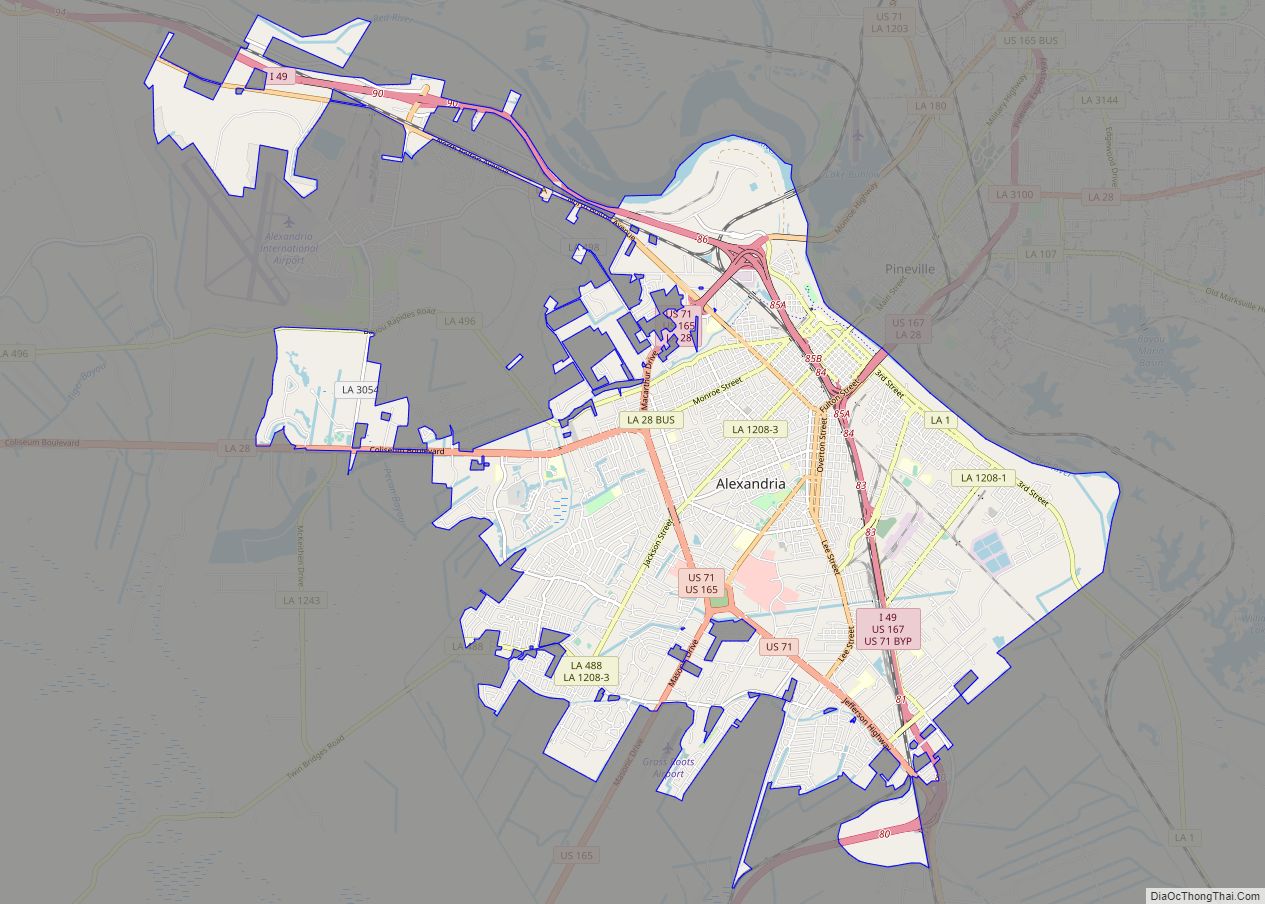
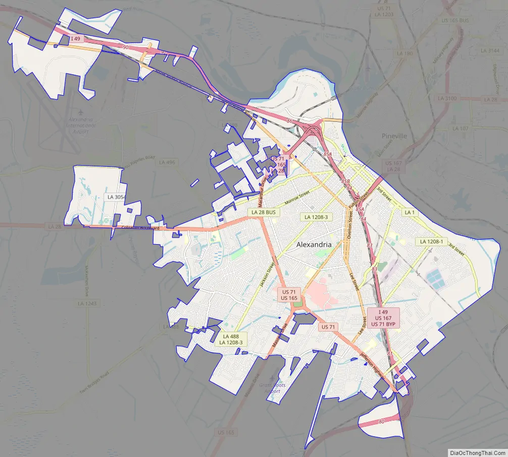
Alexandria Road Map
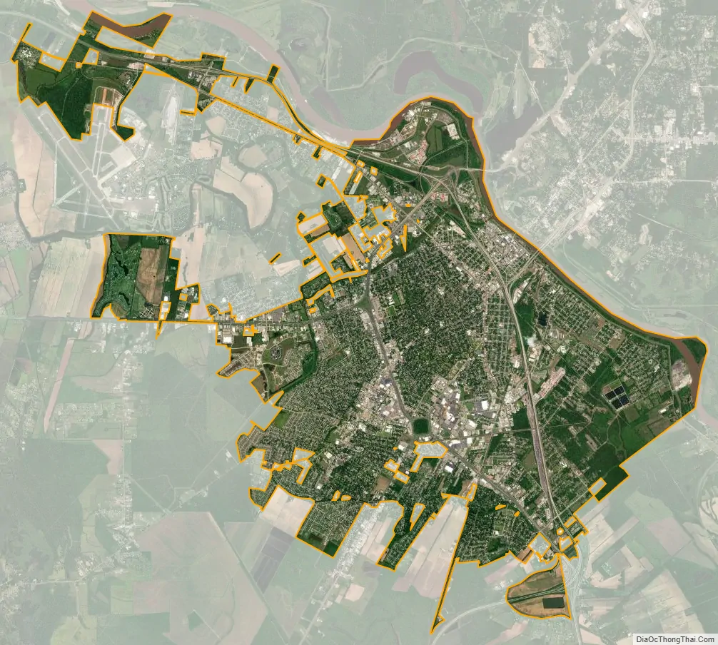
Alexandria city Satellite Map
Geography
Alexandria is located at 31°17′34″N 92°27′33″W / 31.29278°N 92.45917°W / 31.29278; -92.45917 and has an elevation of 75 feet (22.9 m).
According to the United States Census Bureau, the city has a total area of 27.0 square miles (69.9 km), of which 26.4 square miles (68.4 km) is land and 0.6 square mile (1.5 km) (2.15%) is water.
Alexandria is on a level plain in the center of the Louisiana Longleaf Pine forests, in which pine is interspersed with various hardwoods. A number of small bayous, such as Bayou Rapides, Bayou Robert, and Hynson Bayou, meander throughout the city. In the immediate vicinity of the city, cotton, sugar, alfalfa, and garden vegetables are cultivated.
The climate is humid subtropical with some continental influence in the winter. Summers are consistently hot and humid, whereas winters are mild, with occasional cold snaps. On average, the first freeze occurs in early to mid November and the last freeze occurs in early to mid March. The area receives plentiful rainfall year-round, with thunderstorms possible throughout the year. Some storms can be severe, especially during the spring months. According to ‘Cities Ranked and Rated’ (Bert Sperling and Peter Sander), Alexandria reports an average of 69 days per year with thunder reported, which is nearly double the national average. Snowfall is rare, with measurable snow having occurred 27 times since 1895. The heaviest snowfall event took place February 12–13, 1960, when 9.1″ of snow fell.
Tropical storms and hurricanes affect Alexandria from time to time, but rarely cause severe damage, unlike areas closer to the coast. In September 2005, Hurricane Rita moved inland and affected Alexandria and surrounding areas, causing widespread power outages and damaging the roofs of some structures. The most recent hurricane, Gustav in 2008, caused widespread flooding, knocked over trees and power lines leading to power outages, and damaged structures. Some low-lying Alexandria neighborhoods had substantial flooding from Gustav, leaving several feet of water in houses.
See also
Map of Louisiana State and its subdivision:- Acadia
- Allen
- Ascension
- Assumption
- Avoyelles
- Beauregard
- Bienville
- Bossier
- Caddo
- Calcasieu
- Caldwell
- Cameron
- Catahoula
- Claiborne
- Concordia
- De Soto
- East Baton Rouge
- East Carroll
- East Feliciana
- Evangeline
- Franklin
- Grant
- Iberia
- Iberville
- Jackson
- Jefferson
- Jefferson Davis
- La Salle
- Lafayette
- Lafourche
- Lincoln
- Livingston
- Madison
- Morehouse
- Natchitoches
- Orleans
- Ouachita
- Plaquemines
- Pointe Coupee
- Rapides
- Red River
- Richland
- Sabine
- Saint Bernard
- Saint Charles
- Saint Helena
- Saint James
- Saint John the Baptist
- Saint Landry
- Saint Martin
- Saint Mary
- Saint Tammany
- Tangipahoa
- Tensas
- Terrebonne
- Union
- Vermilion
- Vernon
- Washington
- Webster
- West Baton Rouge
- West Carroll
- West Feliciana
- Winn
- Alabama
- Alaska
- Arizona
- Arkansas
- California
- Colorado
- Connecticut
- Delaware
- District of Columbia
- Florida
- Georgia
- Hawaii
- Idaho
- Illinois
- Indiana
- Iowa
- Kansas
- Kentucky
- Louisiana
- Maine
- Maryland
- Massachusetts
- Michigan
- Minnesota
- Mississippi
- Missouri
- Montana
- Nebraska
- Nevada
- New Hampshire
- New Jersey
- New Mexico
- New York
- North Carolina
- North Dakota
- Ohio
- Oklahoma
- Oregon
- Pennsylvania
- Rhode Island
- South Carolina
- South Dakota
- Tennessee
- Texas
- Utah
- Vermont
- Virginia
- Washington
- West Virginia
- Wisconsin
- Wyoming