Vernon Parish (French: Paroisse de Vernon) is a parish located in the U.S. state of Louisiana. As of the 2020 census, the population was 48,750. The parish seat is Leesville. Bordered on the west by the Sabine River, the parish was founded in 1871 during the Reconstruction era.
It was long a center of the timber industry, which harvested pine in the hills and bottomland hardwoods. Construction of a railway to the area in 1897 stimulated marketing of lumber and businesses in the area.
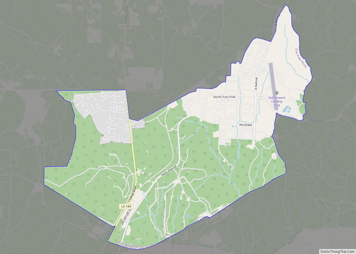
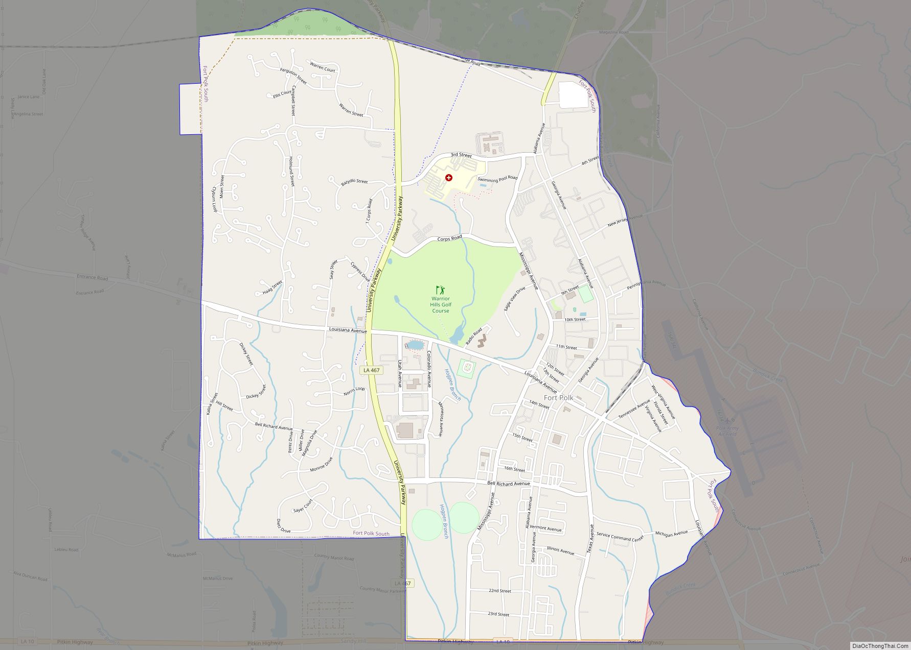
Since World War II, Fort Polk has been most important to the parish economy. The population of the Leesville area rapidly increased fivefold after the fort was opened. Vernon Parish is part of the Fort Polk South, LA Micropolitan Statistical Area, which is also included in the DeRidder-Fort Polk South, LA Combined Statistical Area.
| Name: | Vernon Parish |
|---|---|
| FIPS code: | 22-115 |
| State: | Louisiana |
| Founded: | March 30, 1871 |
| Named for: | Mount Vernon |
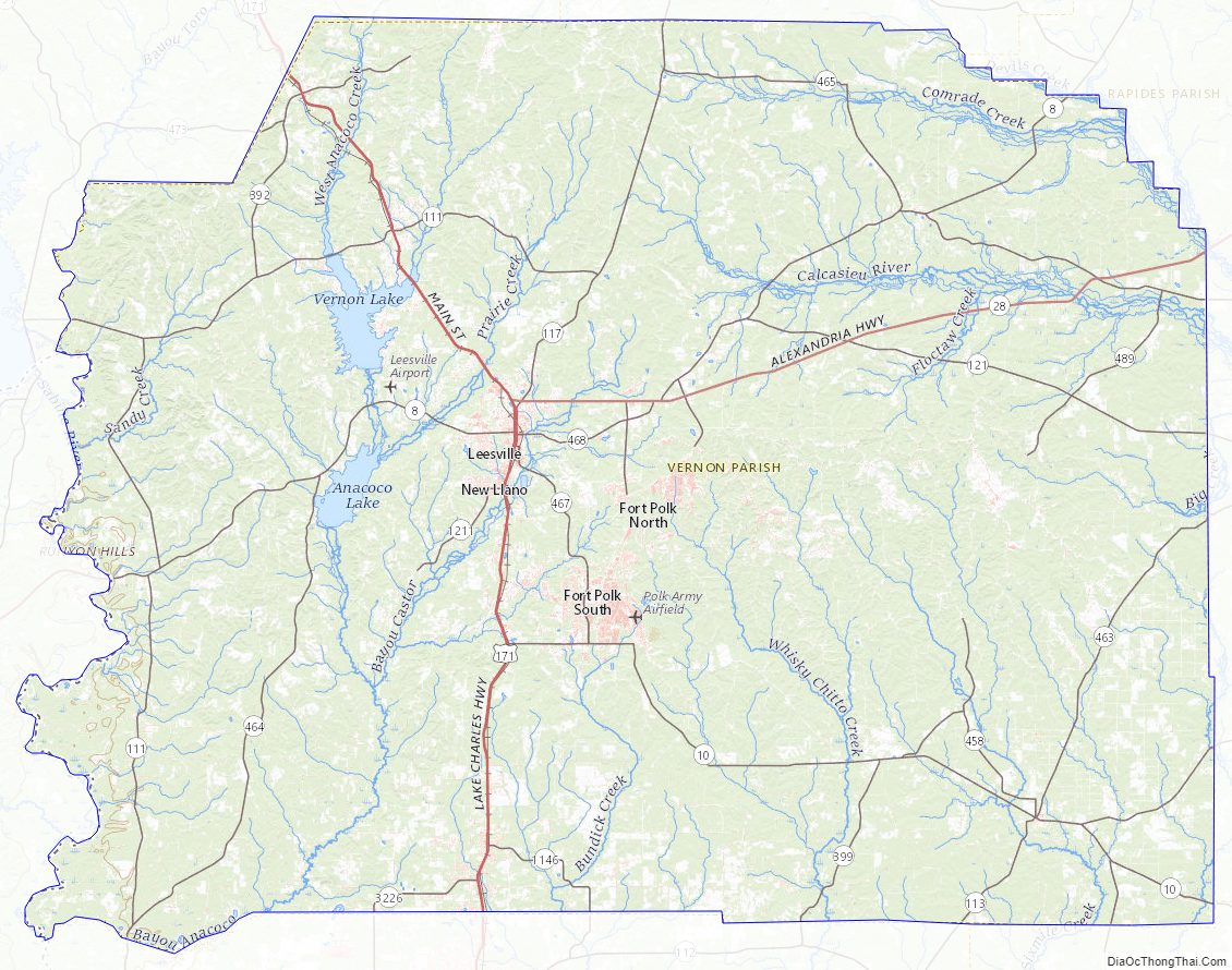
| Seat: | Leesville |
| Total Area: | 3,470 km² (1,341 sq mi) |
| Land Area: | 3,440 km² (1,328 sq mi) |
| Total Population: | 48,750 |
| Population Density: | 14/km² (36/sq mi) |
| Time zone: | UTC-6 (CST) |
| Summer Time Zone (DST): | UTC-5 (CDT) |
| Website: | Vernon Parish Police Jury |
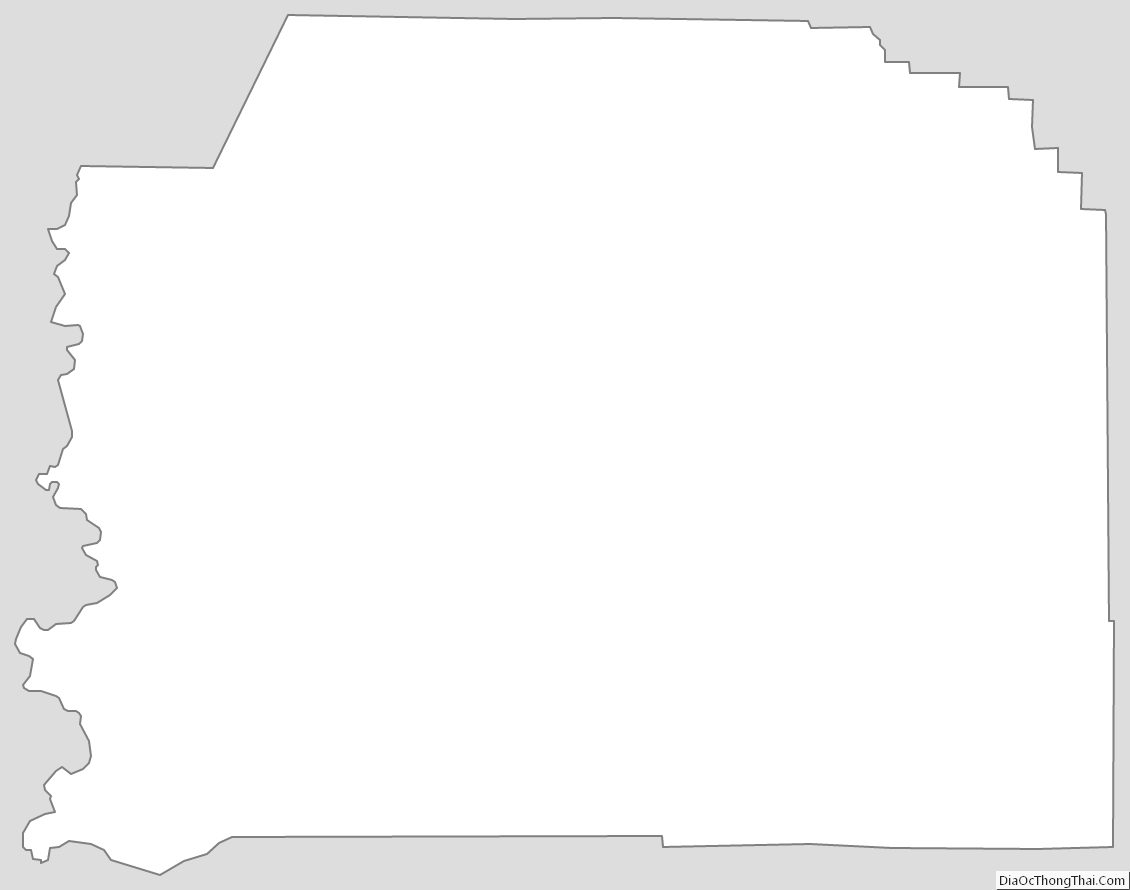
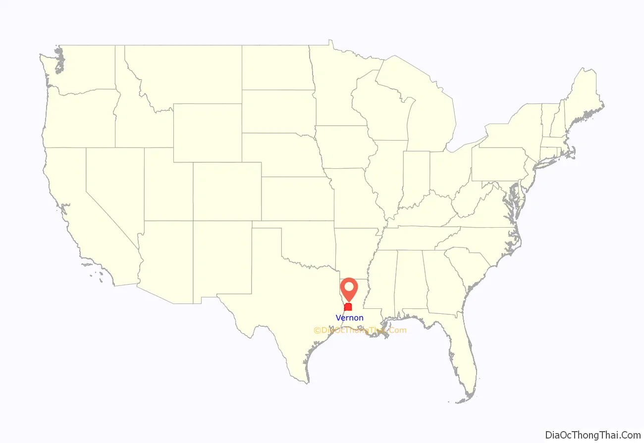
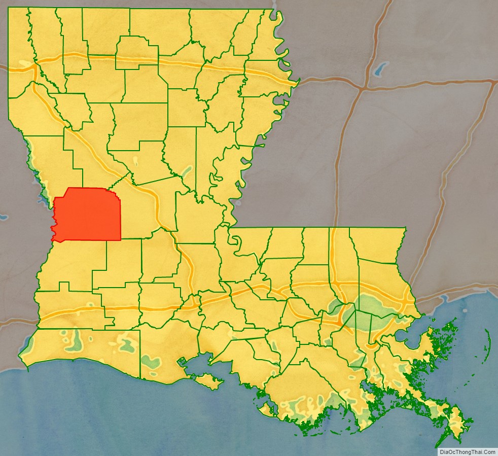
Vernon Parish location map. Where is Vernon Parish?
History
The area comprising Vernon was a part of a tract of land whose control was disputed in the late 18th century between the United States and Spain. They called this land the “Neutral Strip” and refrained from posting police or military personnel there. As a result, the area became a haven for outlaws. Prior to the United States acquisition of this territory through the Louisiana Purchase from France in 1803, the primary settlers who came to the area were ethnic French and Spanish.
During this period, Dr. Timothy Burr, a Massachusetts native who had migrated to Louisiana from Mt. Vernon, Ohio, established the community of Burr Ferry at his landing on the Sabine River. This community became known as the “Gateway to Louisiana” from the west. For decades this area was part of the Natchitoches, Rapides, and Sabine parishes, which were established soon after the US acquired this territory in the early nineteenth century. The timber industry was most important to the local economy, with both pines of the hills and bottomland hardwoods being harvested. Some landowners had their land cleared by slaves to establish plantations for cotton cultivation.
During the American Civil War, an artillery site was constructed nearby. Now called the “Confederate Breast Works”, it was manned by the Confederacy to guard against Union movements along the Nolan Trace.
On March 30, 1871, the Louisiana General Assembly passed an act to create Vernon Parish, by taking territory from the three parishes noted above, as population had increased in the area. There are four versions of how the parish was named; the only official State version is that it was named in honor of Mt. Vernon, the home of George Washington.
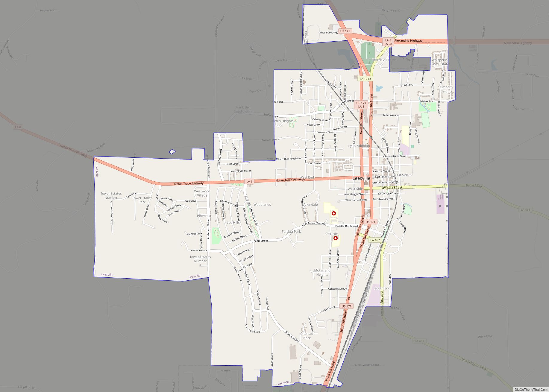
Leesville was designated as the parish seat of Vernon from the start. It was incorporated February 15, 1900. The city was founded by Dr. Edmund E. Smart, who donated land from his plantation for the development of the parish seat. It was named by Senator John Rowell Smart, his father, in honor of General Robert E. Lee. The Big House from the Smart plantation still stands, where the city has grown up around it. It is located at what today is the corner of Lula and First streets.
Folklore accounts of the naming of the parish are: 1) that it was named after a race horse owned by Joe Moore, one of the members of the committee chosen to name the parish, who claimed that by naming the parish after his fast horse the committee would insure the growth of the parish: 2) that it was named after a popular teacher who had been an officer in the Royal Navy, only mentioned as “Mr. Vernon”. The decision was made to avoid disputes among the parish founders, each of whom wanted to name it after himself. 3) The final account tells that the committee had been arguing over the name while drinking in a store. Trying to preserve his precious whiskey and profits, the host suggested the committee stop a local man passing by on a mule-drawn cart and name the parish whatever the man said was the mule’s name. The man responded, “I calls him Vernon, ’cause he’s the fastes’ mule in de country.”
In the late 1890s the timber industry, which was the dominant industry in the parish from its creation, began to boom with the construction of the Kansas City Southern Railway in 1897. It increased access to markets. The railway continues to operate in the early 21st century.
20th century to present
In the period after World War I, Vernon Parish became the site of two socialist-based communities. The Llano del Rio Cooperative Colony developed as New Llano, established in 1917. The second was the Christian Commonwealth Colony. These colonies attempted to attract economists and sociologists to conduct an experiment in communal membership and the sharing of labor duties. Llano del Rio was the larger community, with more than 10,000 people, and was also the longest-surviving. Both colonies failed in the 1930s during the economic stress of the Great Depression.
In 1941, the United States Army opened Camp Polk, shortly after the outbreak of war in Europe, with the German invasion of Poland and other actions. Camp Polk quickly surpassed the timber industry as the dominant force in the parish’s economy. After the camp opened, the population of the parish seat of Leesville rapidly climbed from 3,500 to 18,000. Named after Leonidas Polk, the first Episcopal Bishop in Louisiana and known as the “Fighting Bishop of the Confederacy”, it served as one of the major Army training camps during World War II.
In the 21st century, Fort Polk is the 5th-largest military installation in the nation. The facility covers approximately 200,000 acres (800 km). It has stimulated the development of associated businesses in the area and related populations. With the regular reassignment of soldiers, accompanied by dependents, to and from the fort, Vernon Parish has a more varied culture than might be expected from its location. Its residents come from all over the country.
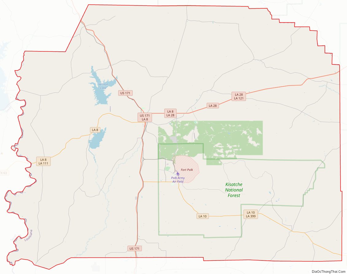
Vernon Parish Road Map

Geography
According to the U.S. Census Bureau, the parish has a total area of 1,341 square miles (3,470 km), of which 1,328 square miles (3,440 km) is land and 14 square miles (36 km) (1.0%) is water. It is the largest parish in Louisiana by land area.
Major highways
- U.S. Highway 171
- Louisiana Highway 8
- Louisiana Highway 10
- Louisiana Highway 28
Adjacent parishes and counties
- Sabine Parish (northwest)
- Natchitoches Parish (north)
- Rapides Parish (east)
- Allen Parish (southeast)
- Beauregard Parish (south)
- Newton County, Texas (west)
National protected area
- Kisatchie National Forest (part)
Vernon Parish Topographic Map
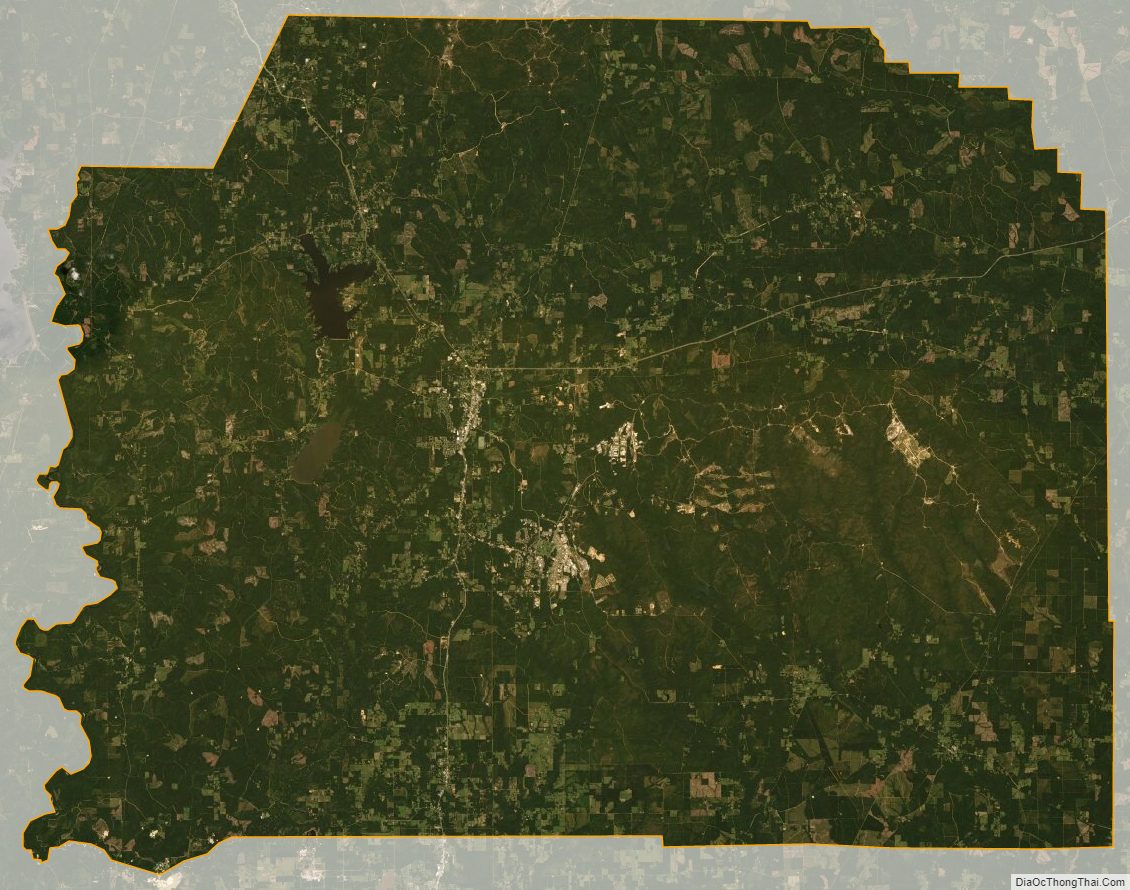
Vernon Parish Satellite Map
Vernon Parish Outline Map