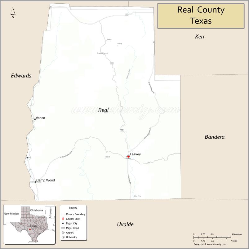
| Name: | Real County |
|---|---|
| FIPS code: | 48-385 |
| State: | Texas |
| Founded: | 1913 |
| Seat: | Leakey |
| Largest city: | Camp Wood |
| Total Area: | 700 sq mi (2,000 km²) |
| Land Area: | 699 sq mi (1,810 km²) |
| Total Population: | 2,758 |
| Population Density: | 3.9/sq mi (1.5/km²) |
| Time zone: | UTC−6 (Central) |
| Summer Time Zone (DST): | UTC−5 (CDT) |
| Website: | www.co.real.tx.us |
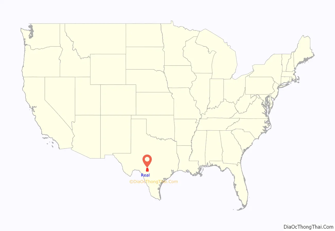
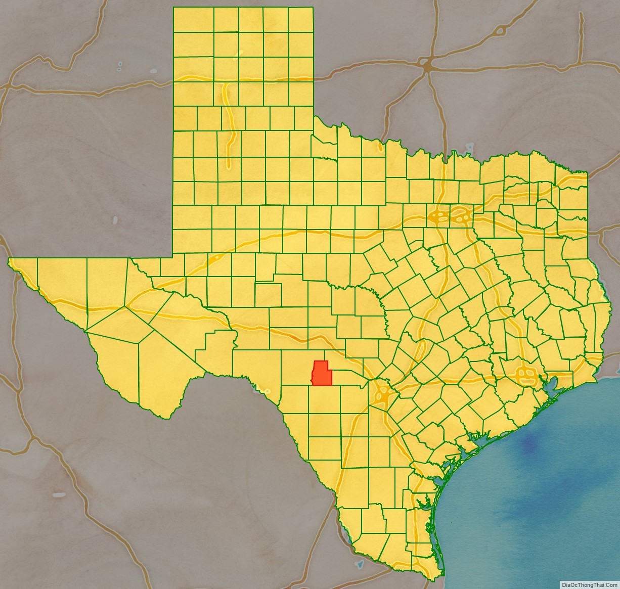
Real County location map. Where is Real County?
History
- 1762-1771 Looking for protection from Comanches, Lipan Apache chief El Gran Cabezón persuades Franciscans and the Spanish military to establish San Lorenzo de la Santa Cruz Mission on the Nueces River. The mission was abandoned in 1771
- 1856 John and Nancy Leakey settle in Frio Canyon.
- 1857 The original Camp Wood is established on the Nueces River near the site of the former San Lorenzo mission.
- 1864 Lipan Apaches attack the family of George Schwander in the abandoned ruins of the San Lorenzo mission.
- 1868 Theophilus Watkins, F. Smith and Newman Patterson construct a gravity flow irrigation canal from the Frio River that operates for a century.
- 1879 Indians attack and kill Jennie Coalson, wife of Nic Coalson, and two children at Half Moon Prairie.
- 1881 Lipan Apaches strike the McLauren home at Buzzard’s Roost in the Frio Canyon. Last Indian raid in southwest Texas.
- 1910 Crop farming declines in the county, livestock ranching gains prominence, in particular angora goats.
- 1913 On April 3, the Texas state legislature establishes Real County from parts of Edwards, Bandera, and Kerr counties. Leakey is the county seat.
- 1920 Camp Wood township is founded and becomes a railroad terminus to transport heart cedar.
- 1924 Charles A. Lindbergh lands in Real County.
- 1948 Farm Road 337 is completed.
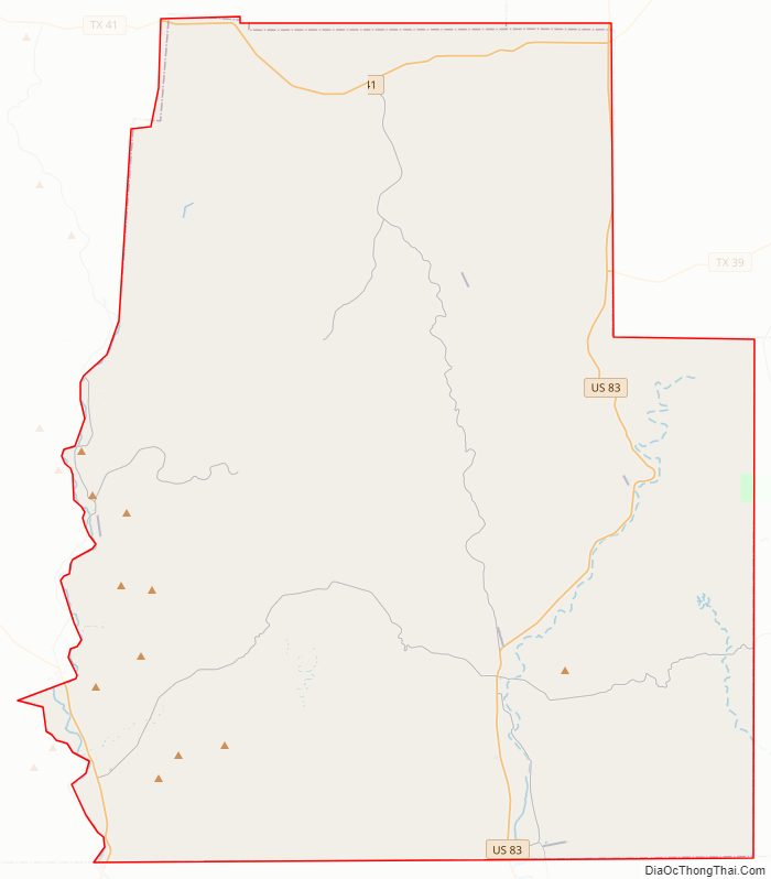
Real County Road Map
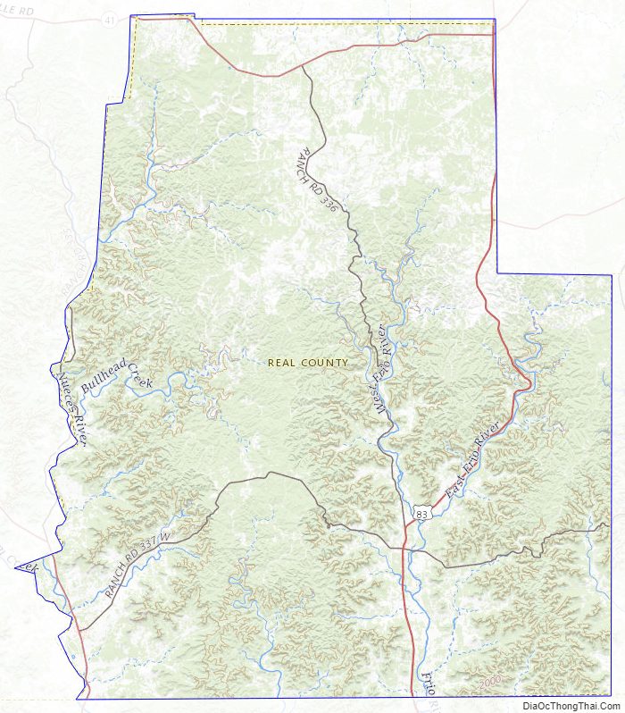
Geography
According to the U.S. Census Bureau, the county has a total area of 700 square miles (1,800 km), of which 699 square miles (1,810 km) is land and 0.9 square miles (2.3 km) (0.1%) is water.
Major highways
- U.S. Highway 83
- State Highway 41
- State Highway 55
- Ranch to Market Road 337
Adjacent counties
- Edwards County (west)
- Kerr County (northeast)
- Bandera County (east)
- Uvalde County (south)
Real County Topographic Map
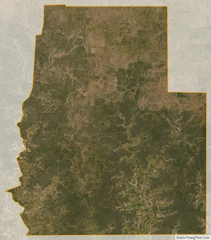
Real County Satellite Map
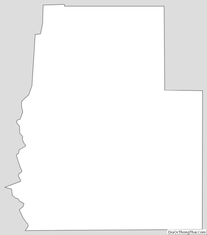
Real County Outline Map