Reynolds County is a county located in the Ozark Foothills Region in the Lead Belt of Missouri. As of the 2020 census, the population was 6,096. Its county seat is Centerville. The county was officially organized on February 25, 1845, and was named in honor of former Governor of Missouri Thomas Reynolds.
The county is home to Johnson’s Shut-Ins State Park, a popular tourist attraction in the state of Missouri.
| Name: | Reynolds County |
|---|---|
| FIPS code: | 29-179 |
| State: | Missouri |
| Founded: | February 25, 1845 |
| Named for: | Thomas Reynolds |
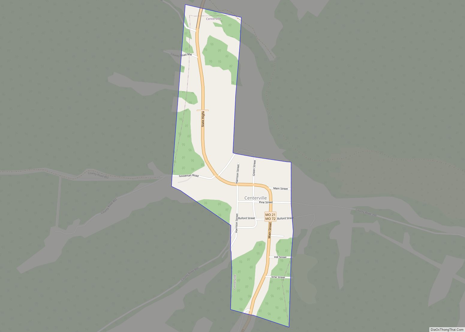
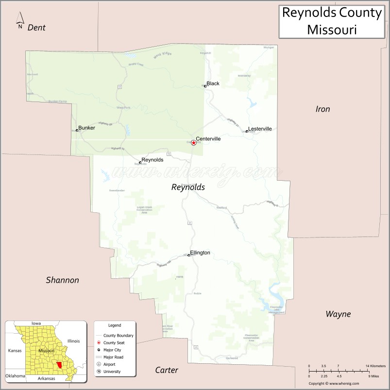
| Seat: | Centerville |
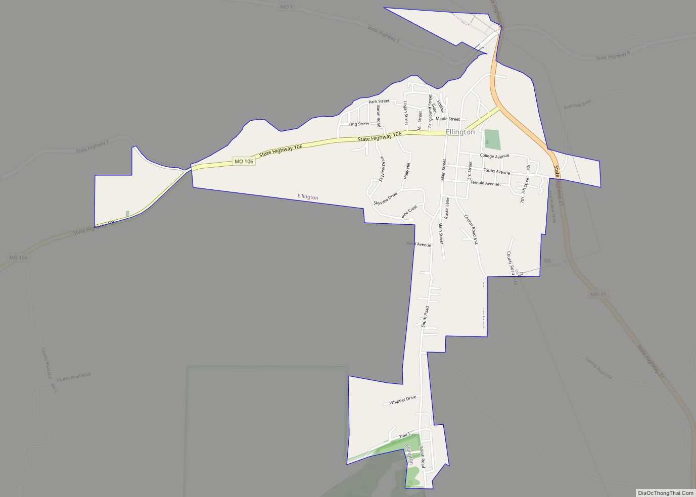
| Largest city: | Ellington |
| Total Area: | 814 sq mi (2,110 km²) |
| Land Area: | 808 sq mi (2,090 km²) |
| Total Population: | 6,096 |
| Population Density: | 7.5/sq mi (2.9/km²) |
| Time zone: | UTC−6 (Central) |
| Summer Time Zone (DST): | UTC−5 (CDT) |
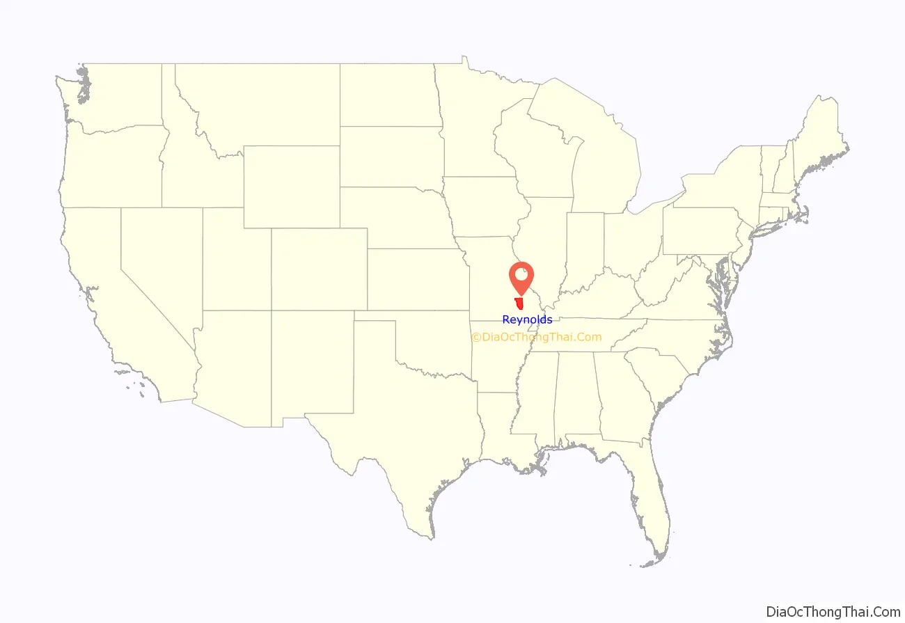
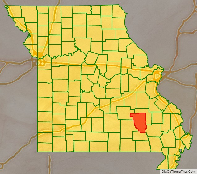
Reynolds County location map. Where is Reynolds County?
History
Reynolds County was officially organized on February 25, 1845. It is still an area of rugged beauty near the geologic center of the Ozark Highland. Reynolds County was formerly part of Ripley County which was formed in 1831 and part of Wayne County which was formed in 1818. It was also previously part of Washington County and part of Ste. Genevieve County.
The Reynolds County Courthouse has burned twice. The first time was in December 1863 when the Confederate army burned it. A new courthouse was built in the fall of 1867 on the same foundation as the previous one. This courthouse was burned in late November 1871. Both times all records were destroyed. Temporary quarters again burned May 27, 1872, while a new “fireproof” courthouse was being built.
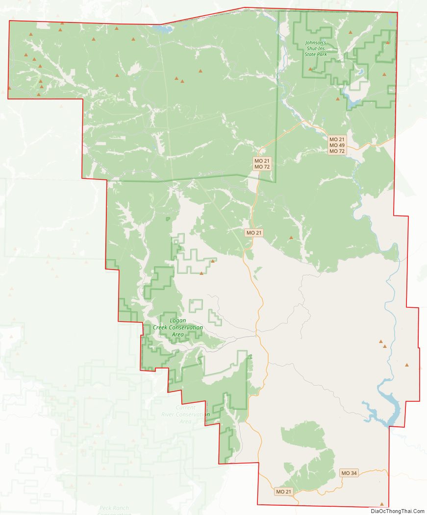
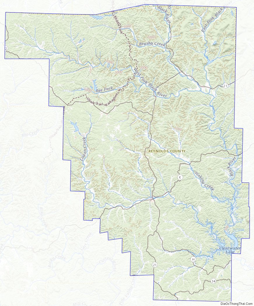
Reynolds County Road Map
Geography
According to the U.S. Census Bureau, the county has a total area of 814 square miles (2,110 km), of which 808 square miles (2,090 km) is land and 5.9 square miles (15 km) (0.7%) is water.
Adjacent counties
- Dent County (northwest)
- Iron County (northeast)
- Wayne County (southeast)
- Carter County (south)
- Shannon County (west)
Major highways
- Route 21
- Route 49
- Route 72
- Route 106
National protected area
- Mark Twain National Forest (part)
Geographical features
- Robinson Hollow
Reynolds County Topographic Map
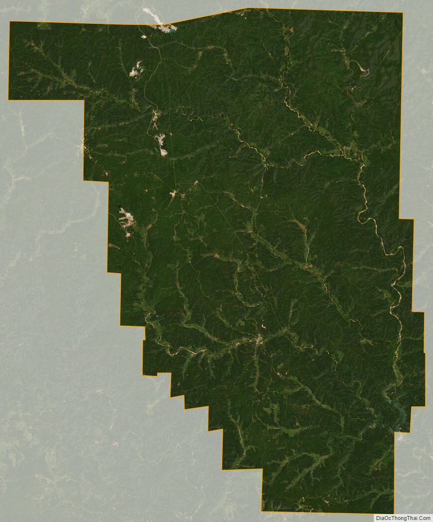
Reynolds County Satellite Map
Reynolds County Outline Map