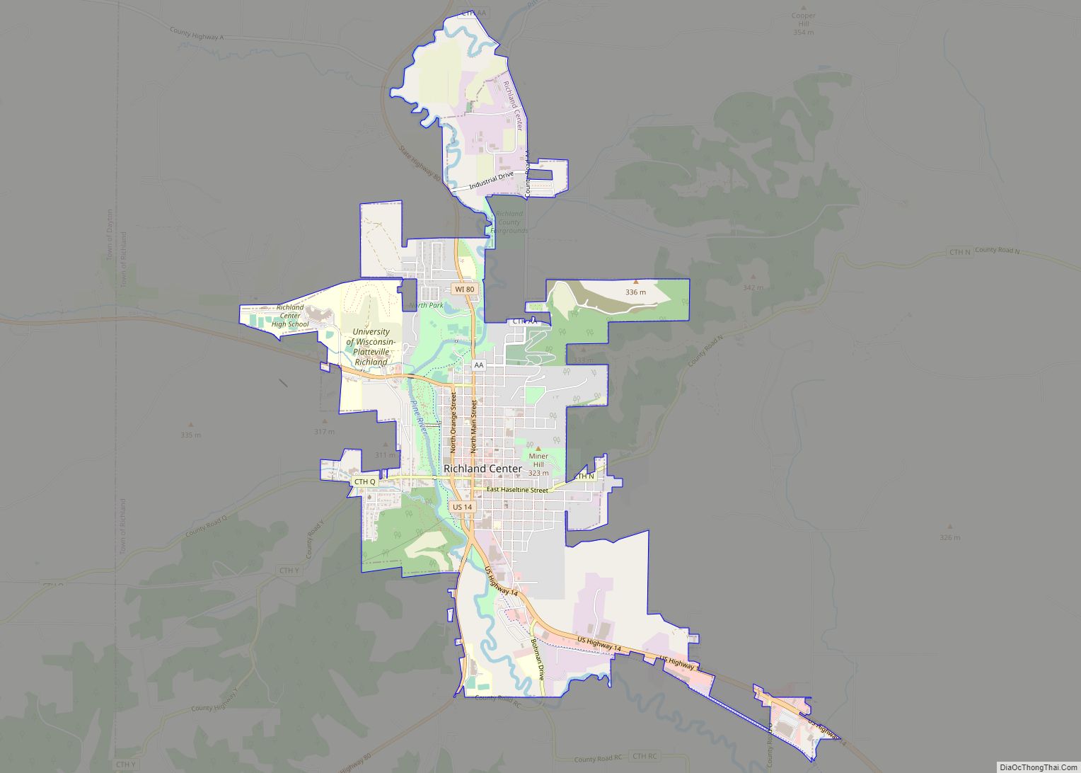
Richland Center is a city in Richland County, Wisconsin, United States that also serves as the county seat. The population was 5,114 at the 2020 census.
| Name: | Richland Center city |
|---|---|
| LSAD Code: | 25 |
| LSAD Description: | city (suffix) |
| State: | Wisconsin |
| County: | Richland County |
| Elevation: | 728 ft (222 m) |
| Total Area: | 4.77 sq mi (12.36 km²) |
| Land Area: | 4.69 sq mi (12.14 km²) |
| Water Area: | 0.08 sq mi (0.22 km²) |
| Total Population: | 5,114 |
| Population Density: | 1,091/sq mi (421.3/km²) |
| ZIP code: | 53581 |
| Area code: | 608 |
| FIPS code: | 5567625 |
| GNISfeature ID: | 1578616 |
| Website: | ci.richland-center.wi.us |
Online Interactive Map
Click on ![]() to view map in "full screen" mode.
to view map in "full screen" mode.
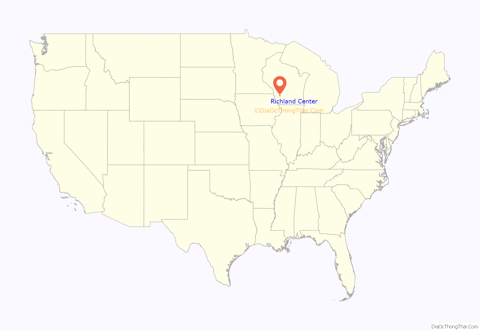
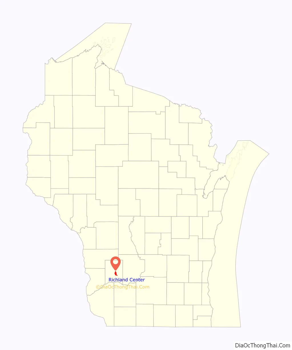
Richland Center location map. Where is Richland Center city?
History
Richland Center was founded in 1851 by Ira Sherwin Hazeltine, a native of Andover, Vermont. Hazeltine was drawn to the site because of its abundant water power, fertile prairies, and its proximity to the geographical center of Richland County. Hazeltine offered to donate land to the county if Richland Center was voted the county seat. In 1852 the Wisconsin Legislature formally declared Richland Center as the seat of justice for Richland County. The present Richland County courthouse was built at Richland Center in 1889.
In 1876, a narrow gauge railroad branch connected Richland Center with the Chicago, Milwaukee & St. Paul Railroad at Lone Rock, Wisconsin, providing an outlet for the town’s commerce. The line was originally constructed with maple rails, but it was rebuilt as a standard gauge iron railway in 1880. On October 8, 1882, the town’s railway depot was destroyed when an early morning fire ignited two kegs of gunpowder stored inside, causing an explosion that tore the roof from the building and scorched several nearby rail cars. Another passenger depot, built in 1909, still stands today, serving as a visitor center for the community.
Richland Center became an important location for the women’s suffrage movement in Wisconsin after Laura Briggs James, Julia Bowen, and other residents founded the Richland Center Woman’s Club in early 1882. The club quickly became the largest suffrage group in the state and was influential in organizing the movement throughout Wisconsin. Susan B. Anthony visited Richland Center in 1886. Later, Laura James’ daughter Ada James became influential in the movement, helping to found the Political Equality League in 1909 and advocating for women’s rights, pacifism, birth control, and prohibition. Locally, the women’s club was the driving force behind the construction of the Richland Center City Auditorium, which served as the city hall from 1913 to 1998.
Frank Lloyd Wright was born in Richland Center in 1867. The A. D. German Warehouse, completed in 1921, is the only building designed by Wright in Richland Center and is an early representation of his Mayan Revival style.
The origin of GTE can be traced to the Richland Center Telephone Company. In 1918, three Wisconsin public utility accountants (Sigurd L. Odegard, John A. Pratt, and John F. O’Connell) purchased the Richland Center Telephone Company for $33,500. At that time, the modest company served only 1,466 telephones in southern Wisconsin. But in 1920, the three accountants formed the Commonwealth Telephone Company and engaged in an aggressive acquisition program, which dramatically expanded its services to more than 500,000 telephones in 25 states. Following bankruptcy during the Great Depression, the company reorganized into the General Telephone Corporation and continued to expand. After merging with Sylvania Electric Products in 1959, it once again changed its name, this time to General Telephone & Electronics Corporation (GT&E, later GTE). By 1969, GTE provided service to 10 million telephones across the nation, making it the largest independent telephone company in the United States.
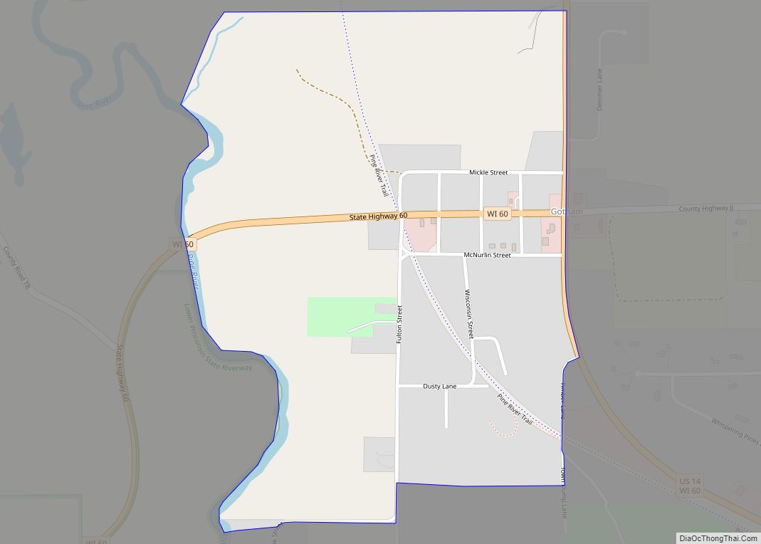
Richland Center Road Map
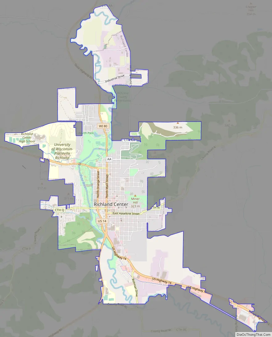
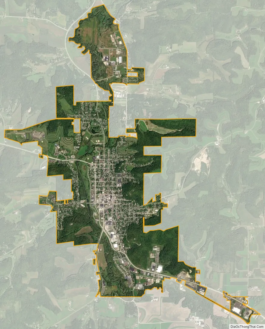
Richland Center city Satellite Map
Geography
Richland Center is located at 43°20′16″N 90°23′5″W / 43.33778°N 90.38472°W / 43.33778; -90.38472 (43.337836, -90.384605).
According to the United States Census Bureau, the city has a total area of 4.36 square miles (11.29 km), of which 4.28 square miles (11.09 km) is land and 0.08 square miles (0.21 km) is water.
The Pine River runs along the western edge of the town.
See also
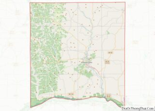
Map of Wisconsin State and its subdivision:- Adams
- Ashland
- Barron
- Bayfield
- Brown
- Buffalo
- Burnett
- Calumet
- Chippewa
- Clark
- Columbia
- Crawford
- Dane
- Dodge
- Door
- Douglas
- Dunn
- Eau Claire
- Florence
- Fond du Lac
- Forest
- Grant
- Green
- Green Lake
- Iowa
- Iron
- Jackson
- Jefferson
- Juneau
- Kenosha
- Kewaunee
- La Crosse
- Lafayette
- Lake Michigan
- Lake Superior
- Langlade
- Lincoln
- Manitowoc
- Marathon
- Marinette
- Marquette
- Menominee
- Milwaukee
- Monroe
- Oconto
- Oneida
- Outagamie
- Ozaukee
- Pepin
- Pierce
- Polk
- Portage
- Price
- Racine
- Richland
- Rock
- Rusk
- Saint Croix
- Sauk
- Sawyer
- Shawano
- Sheboygan
- Taylor
- Trempealeau
- Vernon
- Vilas
- Walworth
- Washburn
- Washington
- Waukesha
- Waupaca
- Waushara
- Winnebago
- Wood
- Alabama
- Alaska
- Arizona
- Arkansas
- California
- Colorado
- Connecticut
- Delaware
- District of Columbia
- Florida
- Georgia
- Hawaii
- Idaho
- Illinois
- Indiana
- Iowa
- Kansas
- Kentucky
- Louisiana
- Maine
- Maryland
- Massachusetts
- Michigan
- Minnesota
- Mississippi
- Missouri
- Montana
- Nebraska
- Nevada
- New Hampshire
- New Jersey
- New Mexico
- New York
- North Carolina
- North Dakota
- Ohio
- Oklahoma
- Oregon
- Pennsylvania
- Rhode Island
- South Carolina
- South Dakota
- Tennessee
- Texas
- Utah
- Vermont
- Virginia
- Washington
- West Virginia
- Wisconsin
- Wyoming