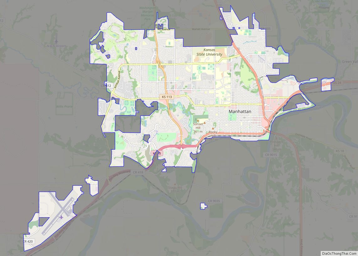
Riley County (standard abbreviation: RL) is a county located in the U.S. state of Kansas. As of the 2020 census, the population was 71,959. The largest city and county seat is Manhattan.
Riley County is home to two of Kansas’s largest employers: Fort Riley and Kansas State University.
| Name: | Riley County |
|---|---|
| FIPS code: | 20-161 |
| State: | Kansas |
| Founded: | August 25, 1855 |
| Named for: | Bennet C. Riley |
| Seat: | Manhattan |
| Largest city: | Manhattan |
| Total Area: | 622 sq mi (1,610 km²) |
| Land Area: | 610 sq mi (1,600 km²) |
| Total Population: | 71,959 |
| Population Density: | 118.0/sq mi (45.6/km²) |
| Time zone: | UTC−6 (Central) |
| Summer Time Zone (DST): | UTC−5 (CDT) |
| Website: | rileycountyks.gov |
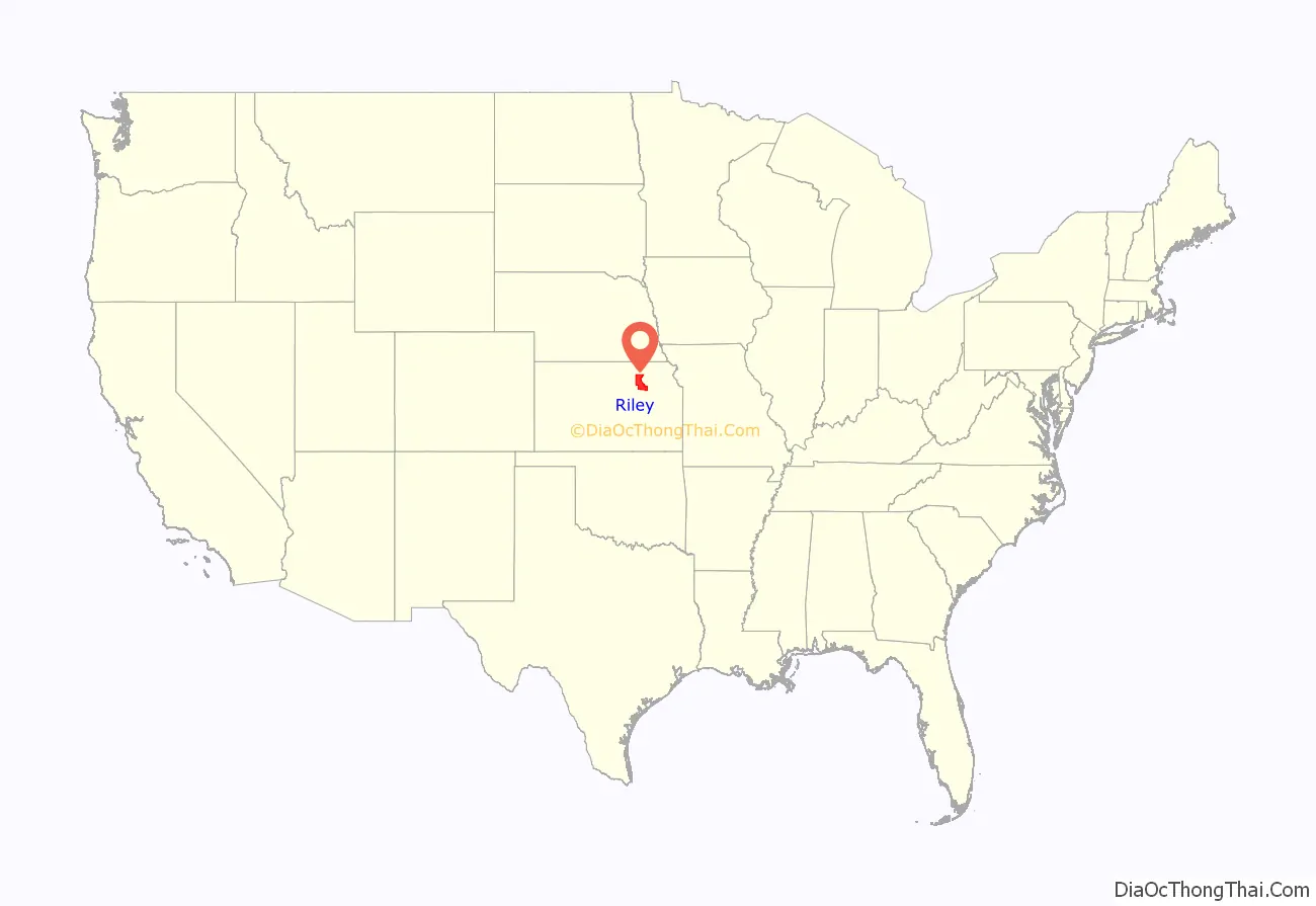
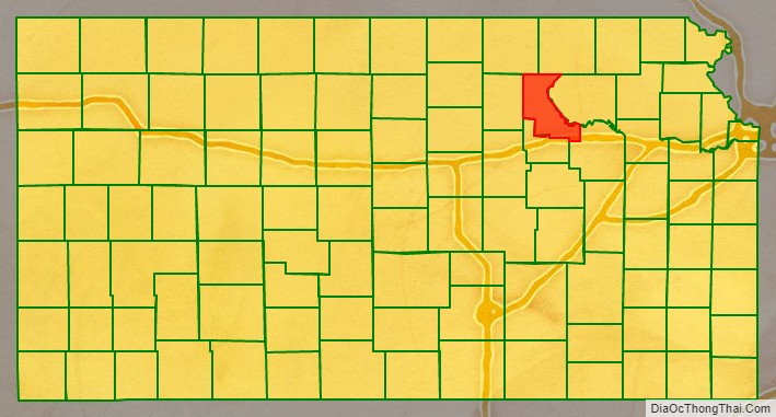
Riley County location map. Where is Riley County?
History
Riley County, named for Mexican–American War general Bennet Riley, was on the western edge of the 33 original counties established by the Kansas Territorial Legislature in August 1855. For organizational purposes, Riley County initially had attached to it Geary County and all land west of Riley County, across Kansas Territory into present-day Colorado.
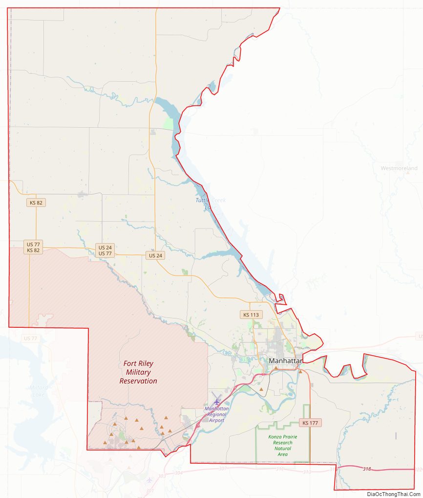
The first Territorial Capital of Kansas Territory was located in the boundaries of Riley County, in the former town of Pawnee. The site now falls within the boundaries of Fort Riley, a U.S. Army post.
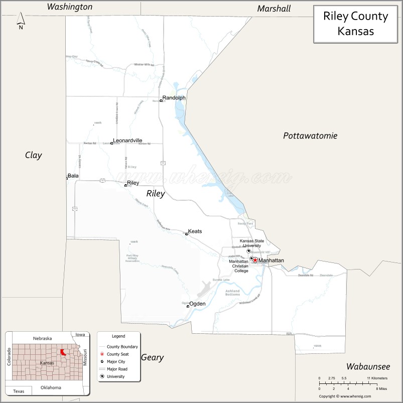
Manhattan was selected as county seat in contentious fashion. In late 1857, an election was held to select the county seat, with Ogden prevailing. However, Manhattanites suspected election fraud, and were eventually able to prove that a number of votes were illegally cast. Sheriff David A. Butterfield was forced to secure the county’s books and records for Manhattan, and Manhattan was finally officially declared the county seat in 1858.
On May 30, 1879, the “Irving, Kansas Tornado” began in Riley County. This tornado is estimated to have been an F4 on the Fujita scale, with a damage path 800 yards (700 m) wide and 100 miles (200 km) long. Eighteen people were killed and sixty were injured.
Riley County Road Map
Geography
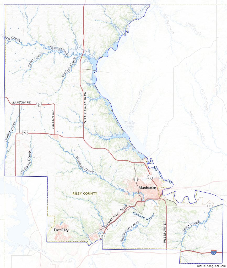
According to the United States Census Bureau, the county has a total area of 622 square miles (1,610 km), of which 610 square miles (1,600 km) is land and 12 square miles (31 km) (2.0%) is water.
The eastern border of the county follows the former course of the Big Blue River. The river was dammed in the 1960s and Tuttle Creek Lake was created as a result. The county falls within the Flint Hills region of the state.
Adjacent counties
- Marshall County (northeast)
- Pottawatomie County (east)
- Wabaunsee County (southeast)
- Geary County (south)
- Clay County (west)
- Washington County (northwest)
Riley County Topographic Map
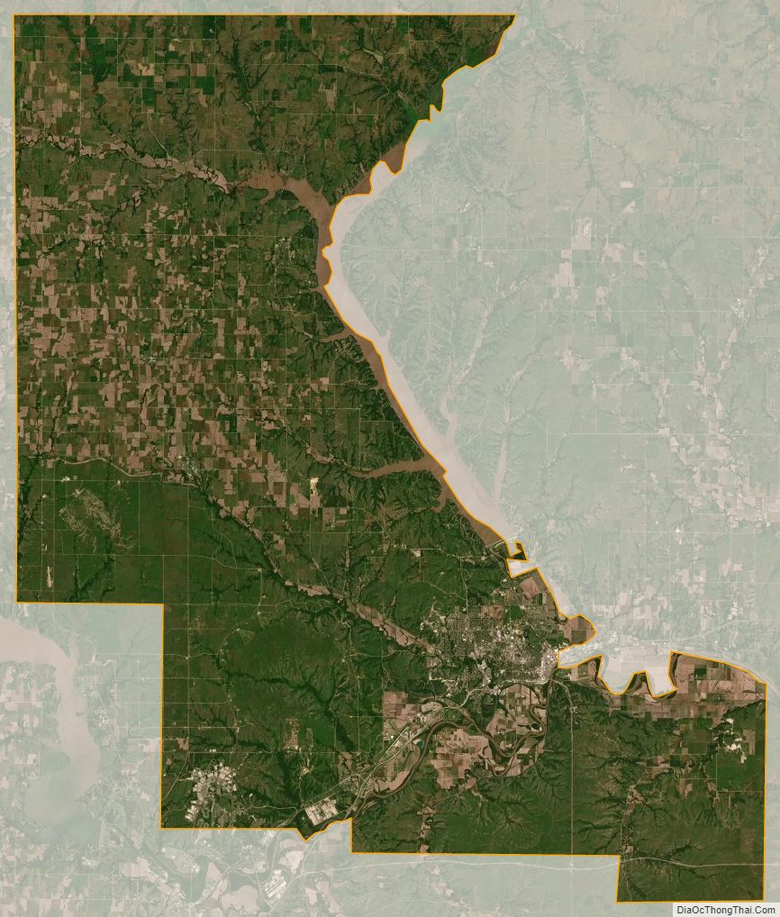
Riley County Satellite Map
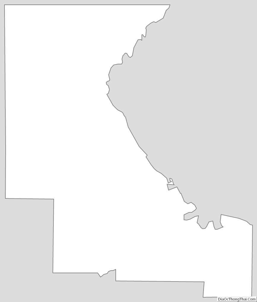
Riley County Outline Map