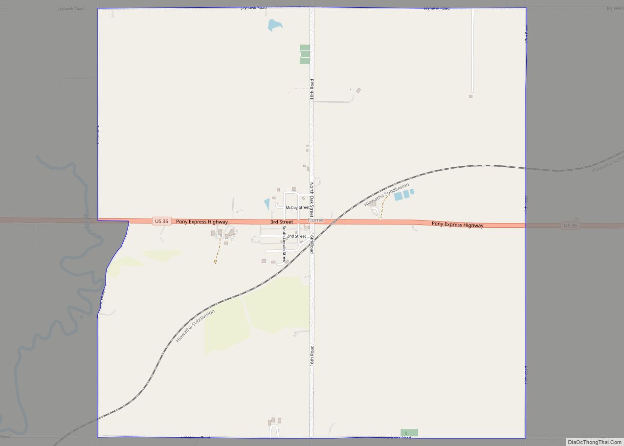
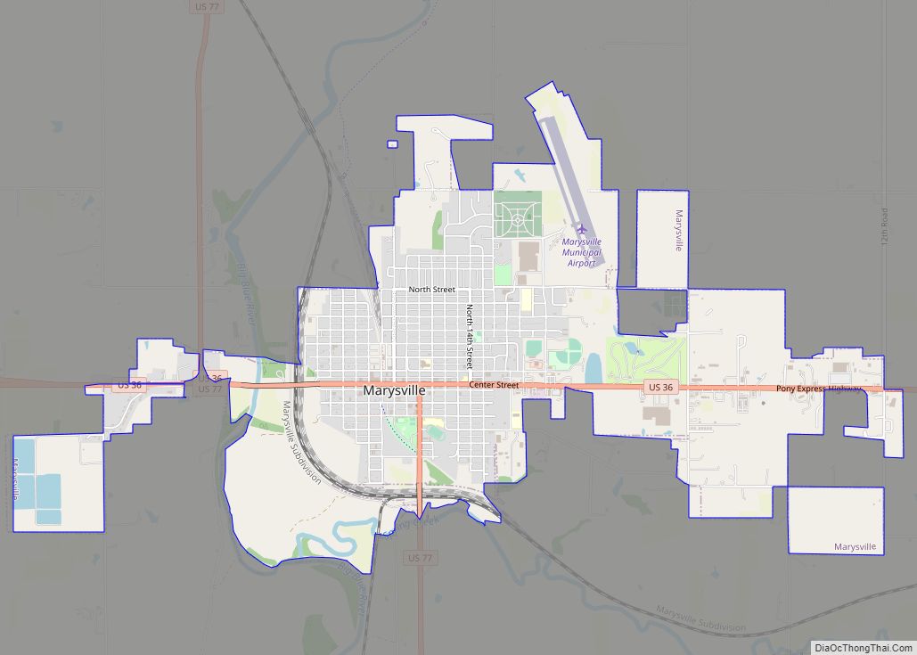
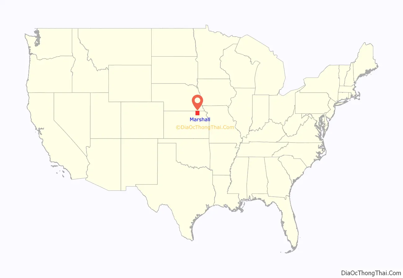
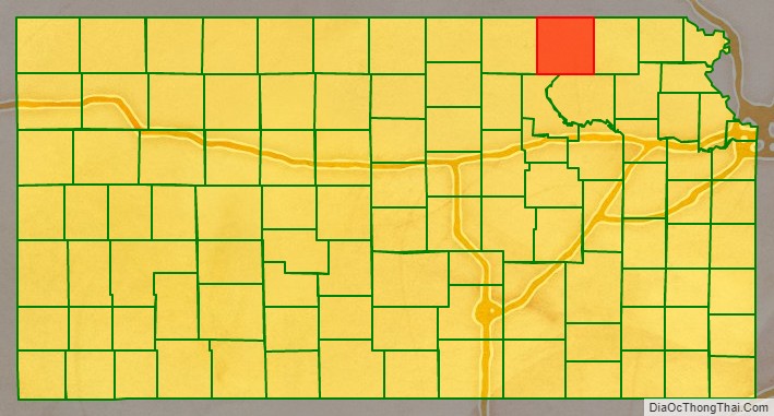
Marshall County (standard abbreviation: MS) is a county located in the U.S. state of Kansas. As of the 2020 census, the county population was 10,038. The largest city and county seat is Marysville.
| Name: | Marshall County |
|---|---|
| FIPS code: | 20-117 |
| State: | Kansas |
| Founded: | August 25, 1855 |
| Named for: | Frank J. Marshall |
| Seat: | Marysville |
| Largest city: | Marysville |
| Total Area: | 905 sq mi (2,340 km²) |
| Land Area: | 900 sq mi (2,000 km²) |
| Total Population: | 10,038 |
| Population Density: | 11.1/sq mi (4.3/km²) |
| Time zone: | UTC−6 (Central) |
| Summer Time Zone (DST): | UTC−5 (CDT) |
| Website: | ks-marshall.manatron.com |
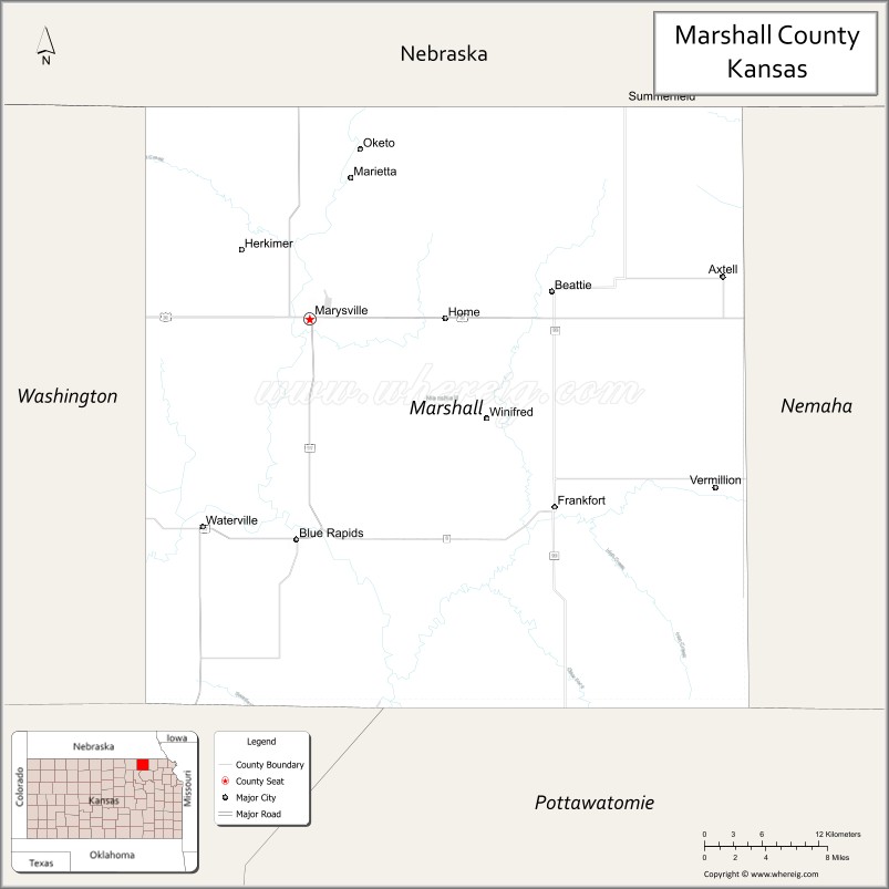
Marshall County location map. Where is Marshall County?
History
The Oregon Trail crosses Marshall County. The Infamous Donner Reed Party rested along the banks of the Big Blue river and lost one of its members, Sarah Keyes, who is still buried at Alcove Springs (located outside of Marysville). Many documented pioneer bodies are buried surrounding Alcove Spring.
In 1849 Francis James Marshall, from Weston, Missouri, came to Marshall County and established a ferry service on the Big Blue River at “Independence Crossing.” A few years later Francis Marshall decided to stay on in Marshall County and make it his home. He moved his Ferry business to an upper crossing now known as Marysville (the city is named after Marshall’s own wife Mary).
On May 30, 1879, the “Irving, Kansas Tornado” passed through Marshall county. This tornado measured F4 on the Fujita scale and had a damage path 800 yards (730 m) wide and 100 miles (160 km) long. Eighteen people were killed and sixty were injured.
The Marshall County Historical Society resides in the county’s historic courthouse, which is now a museum and research library.
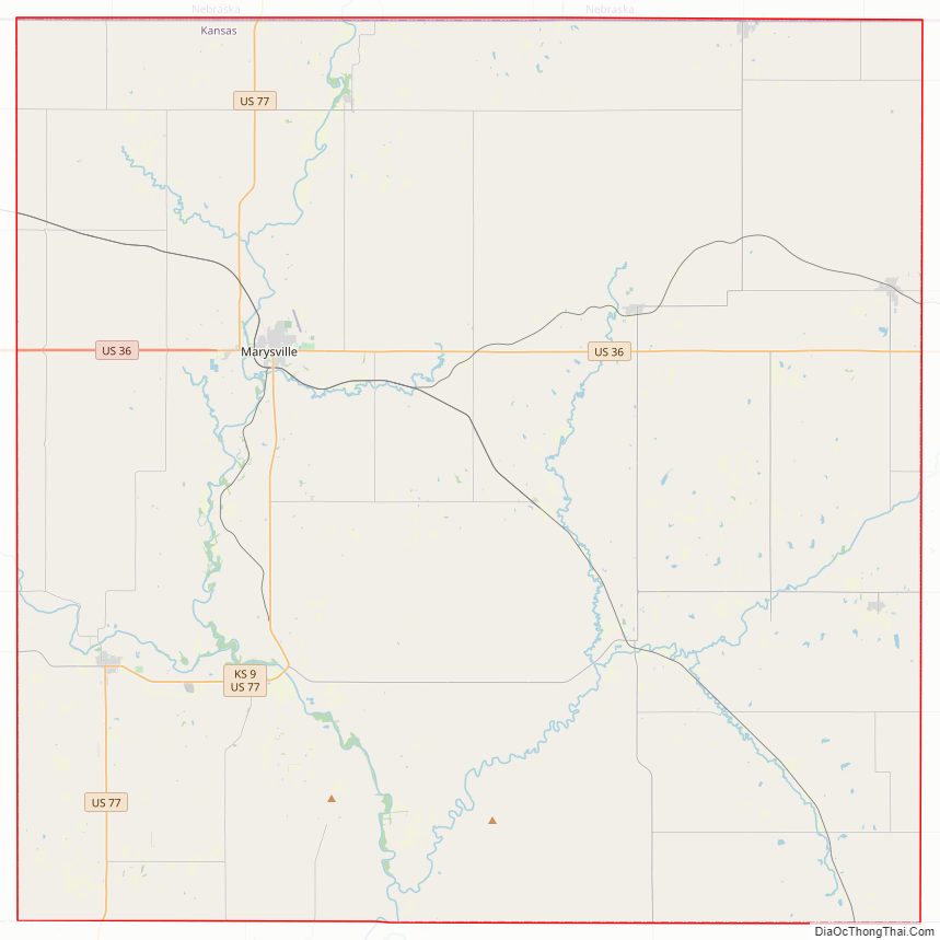
Marshall County Road Map
Geography
According to the U.S. Census Bureau, the county has a total area of 905 square miles (2,340 km), of which 900 square miles (2,300 km) is land and 4.9 square miles (13 km) (0.5%) is water.
Adjacent counties
- Pawnee County, Nebraska (northeast)
- Nemaha County (east)
- Pottawatomie County (south)
- Riley County (southwest)
- Washington County (west)
- Gage County, Nebraska (northwest)
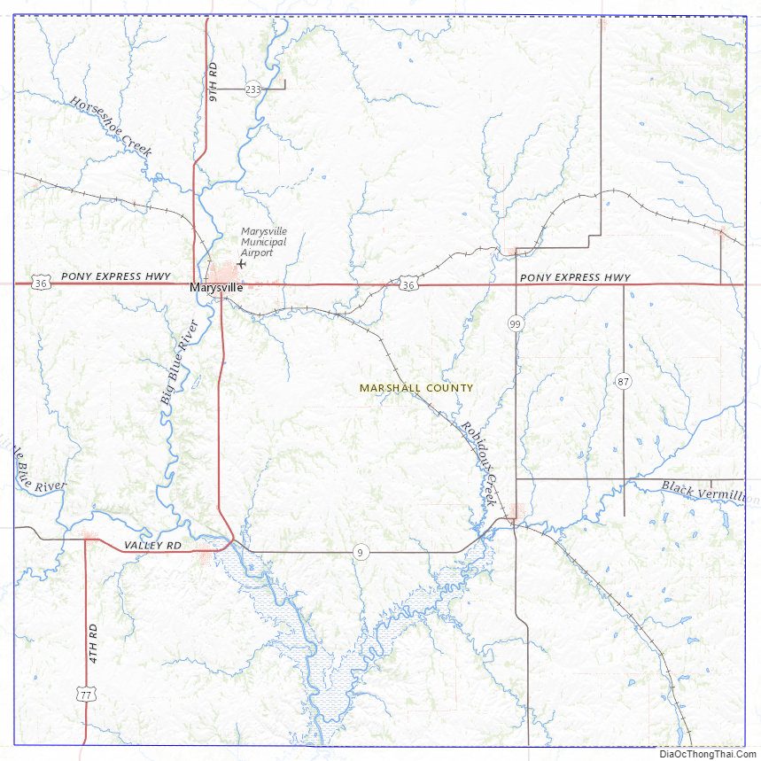
Marshall County Topographic Map
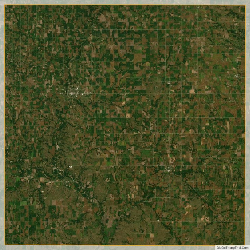
Marshall County Satellite Map
Marshall County Outline Map