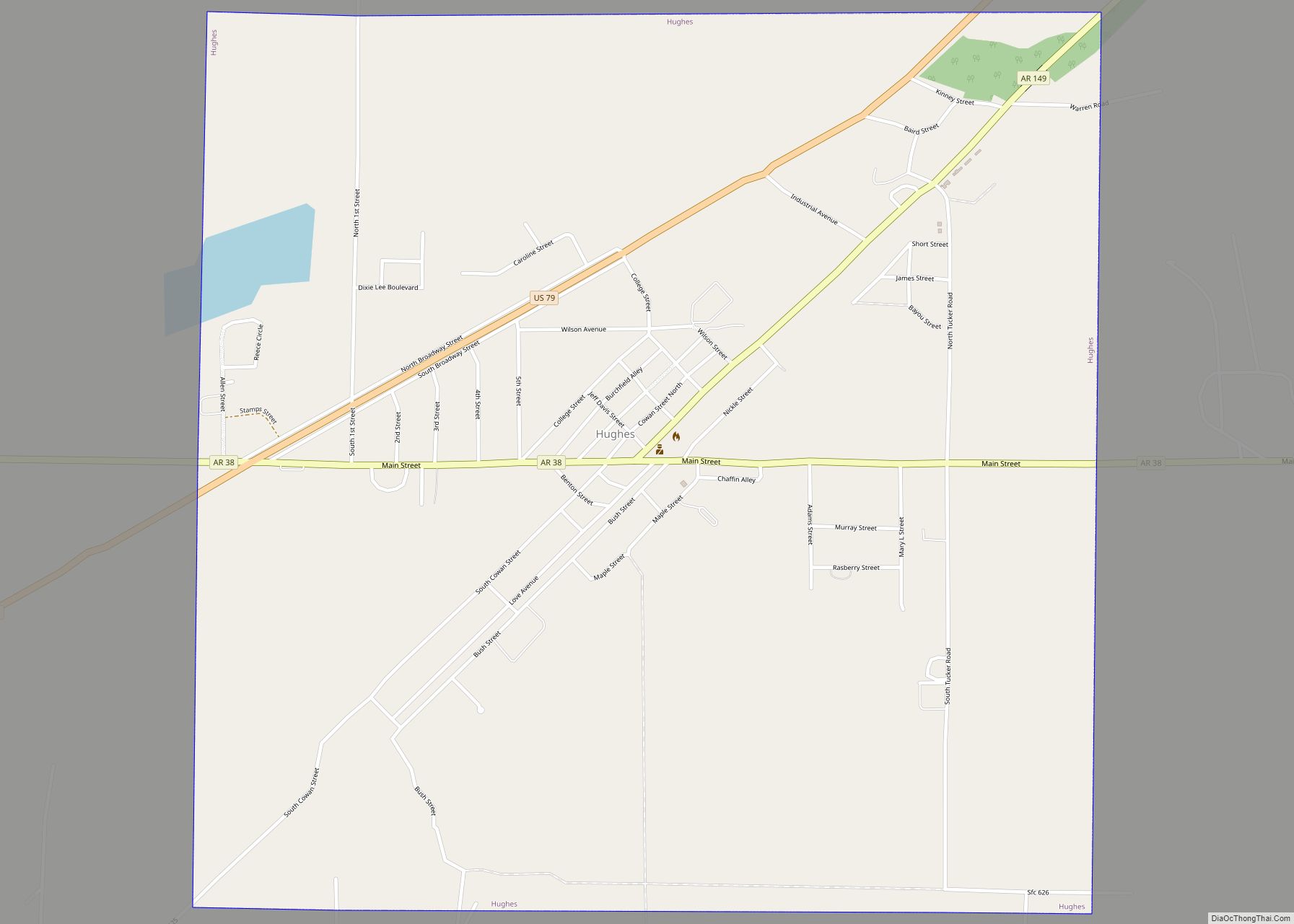
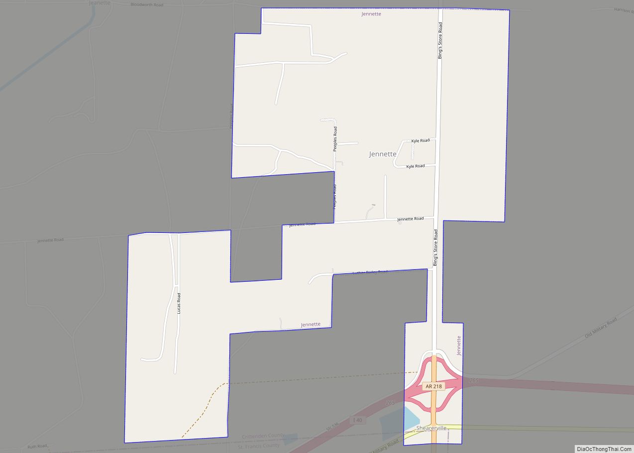
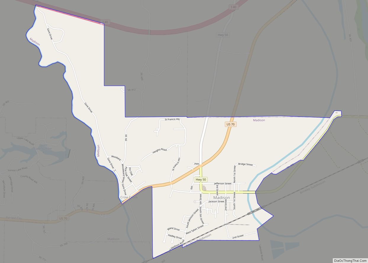
St. Francis County is a county in the U.S. state of Arkansas. As of the 2020 census, the population was 23,090. The county seat is Forrest City.
St. Francis County comprises the Forrest City, Arkansas Micropolitan Statistical Area, which is also included in the Memphis-Forrest City, TN–MS-AR Combined Statistical Area.
| Name: | St. Francis County |
|---|---|
| FIPS code: | 05-123 |
| State: | Arkansas |
| Founded: | October 13, 1827 |
| Named for: | St. Francis River |
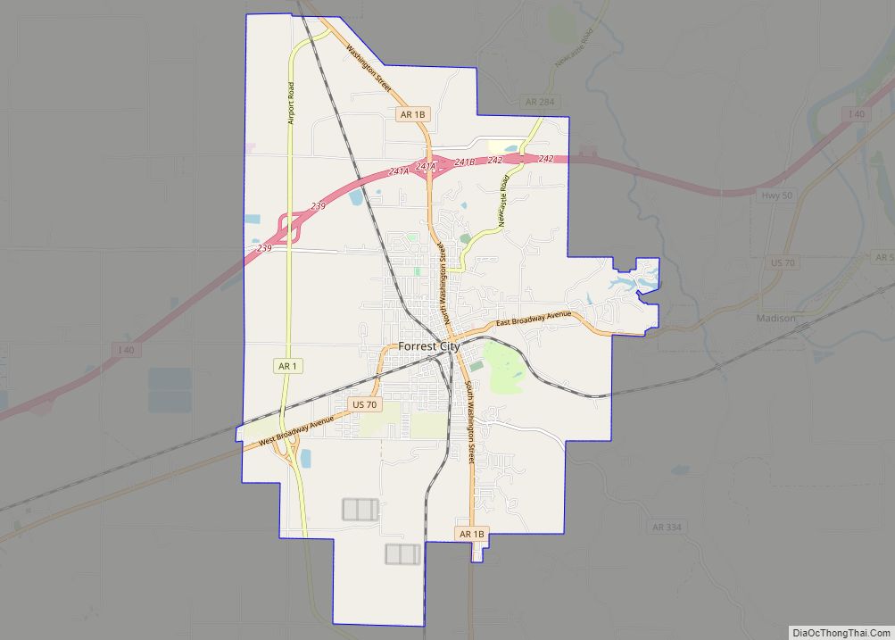
| Seat: | Forrest City |
| Largest city: | Forrest City |
| Total Area: | 643 sq mi (1,670 km²) |
| Land Area: | 635 sq mi (1,640 km²) |
| Total Population: | 23,090 |
| Population Density: | 36/sq mi (14/km²) |
| Time zone: | UTC−6 (Central) |
| Summer Time Zone (DST): | UTC−5 (CDT) |
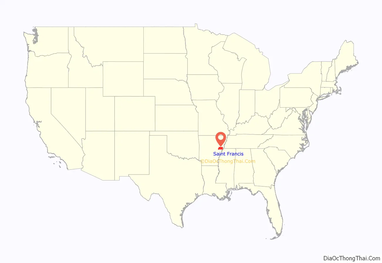
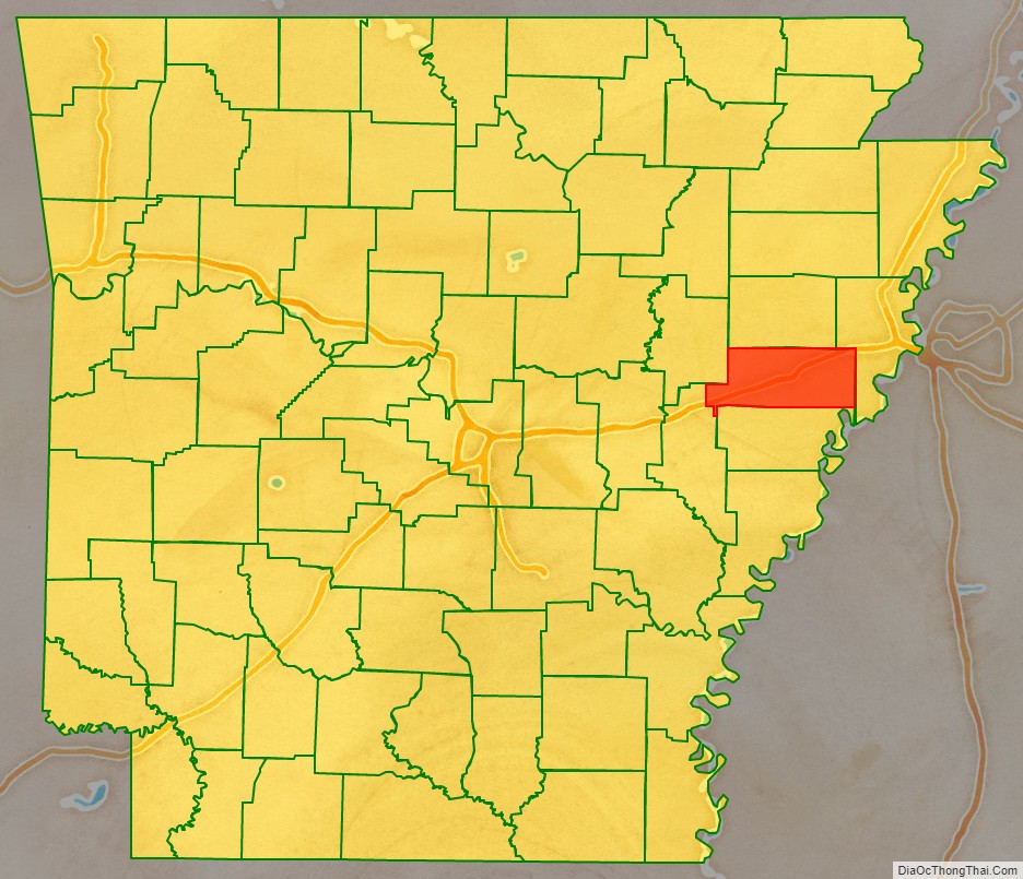
St. Francis County location map. Where is St. Francis County?
History
The county was formed on October 13, 1827, and named for the St. Francis River. It is on the eastern border of the state in the Arkansas Delta, formed by the lowlands of the Mississippi River. It was an area of large cotton plantations in the antebellum era, when the workers were enslaved African Americans. It continued as an agricultural area into the late 19th century, when many freedmen became sharecroppers.
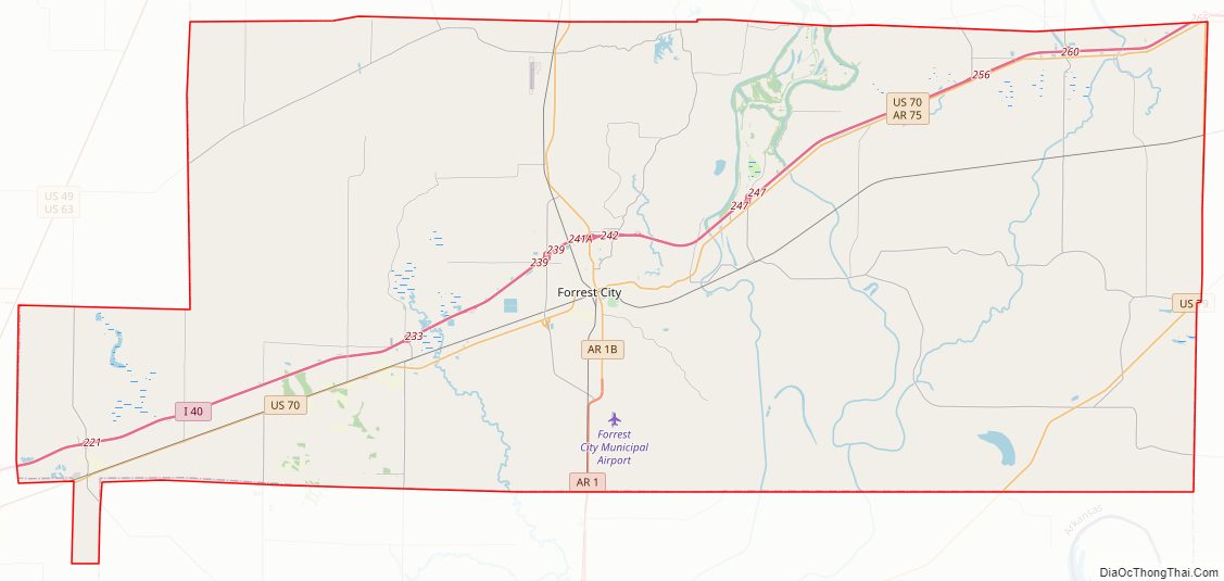
St. Francis County Road Map
Geography
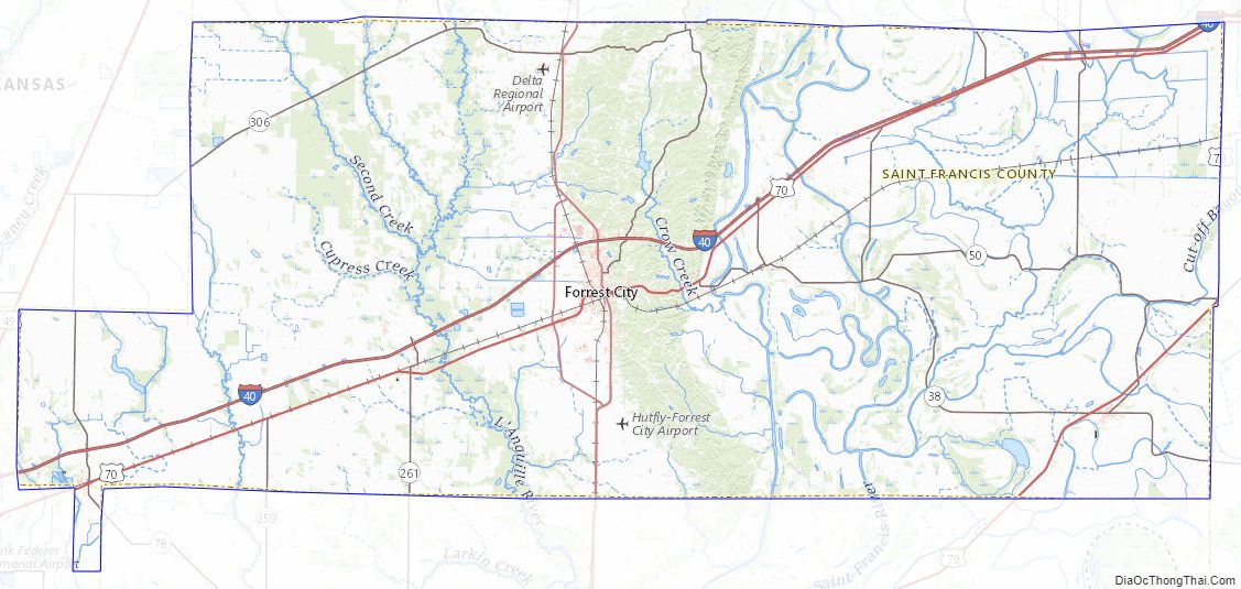
According to the U.S. Census Bureau, the county has a total area of 643 square miles (1,670 km), of which 635 square miles (1,640 km) is land and 7.7 square miles (20 km) (1.2%) is water.
Major highways
- Interstate 40
- U.S. Highway 70
- Highway 1
- Highway 38
- Highway 50
- Highway 75
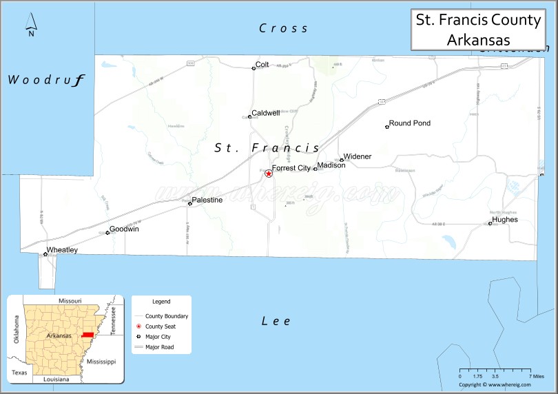
Adjacent counties
- Cross County (north)
- Crittenden County (east)
- Lee County (south)
- Monroe County (southwest)
- Woodruff County (northwest)
St. Francis County Topographic Map
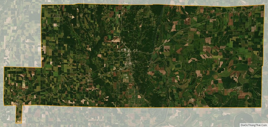
St. Francis County Satellite Map
St. Francis County Outline Map