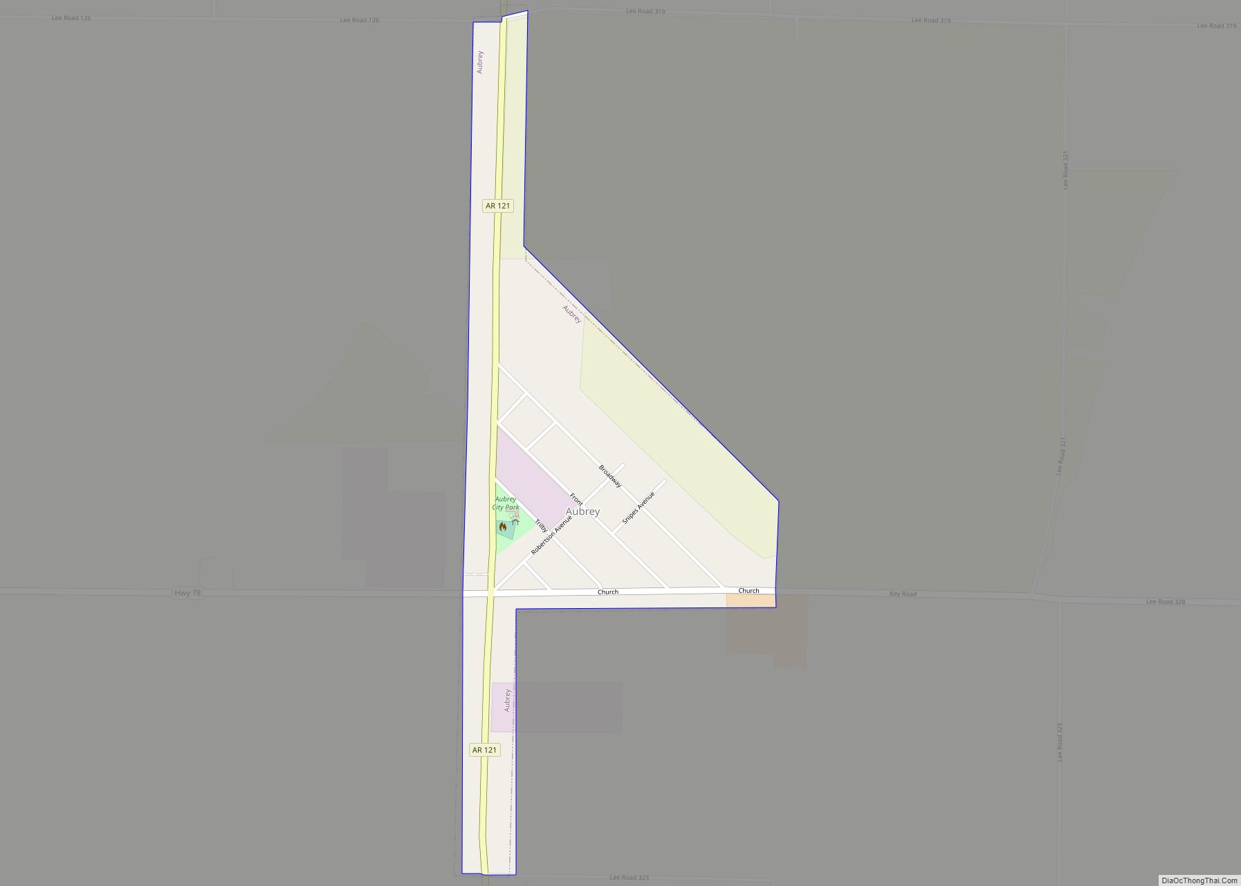
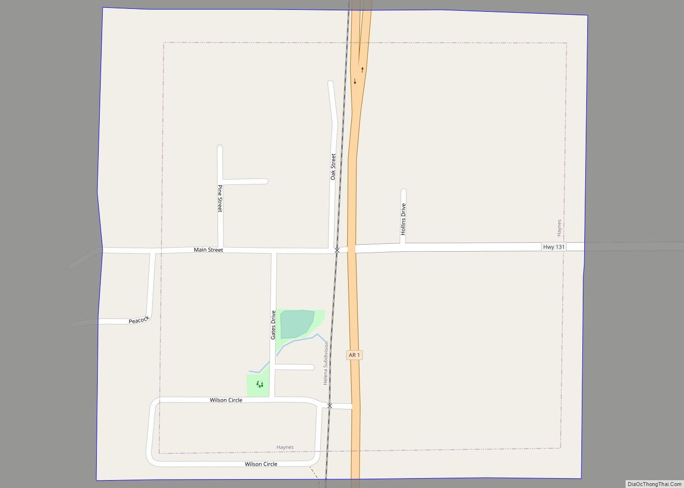
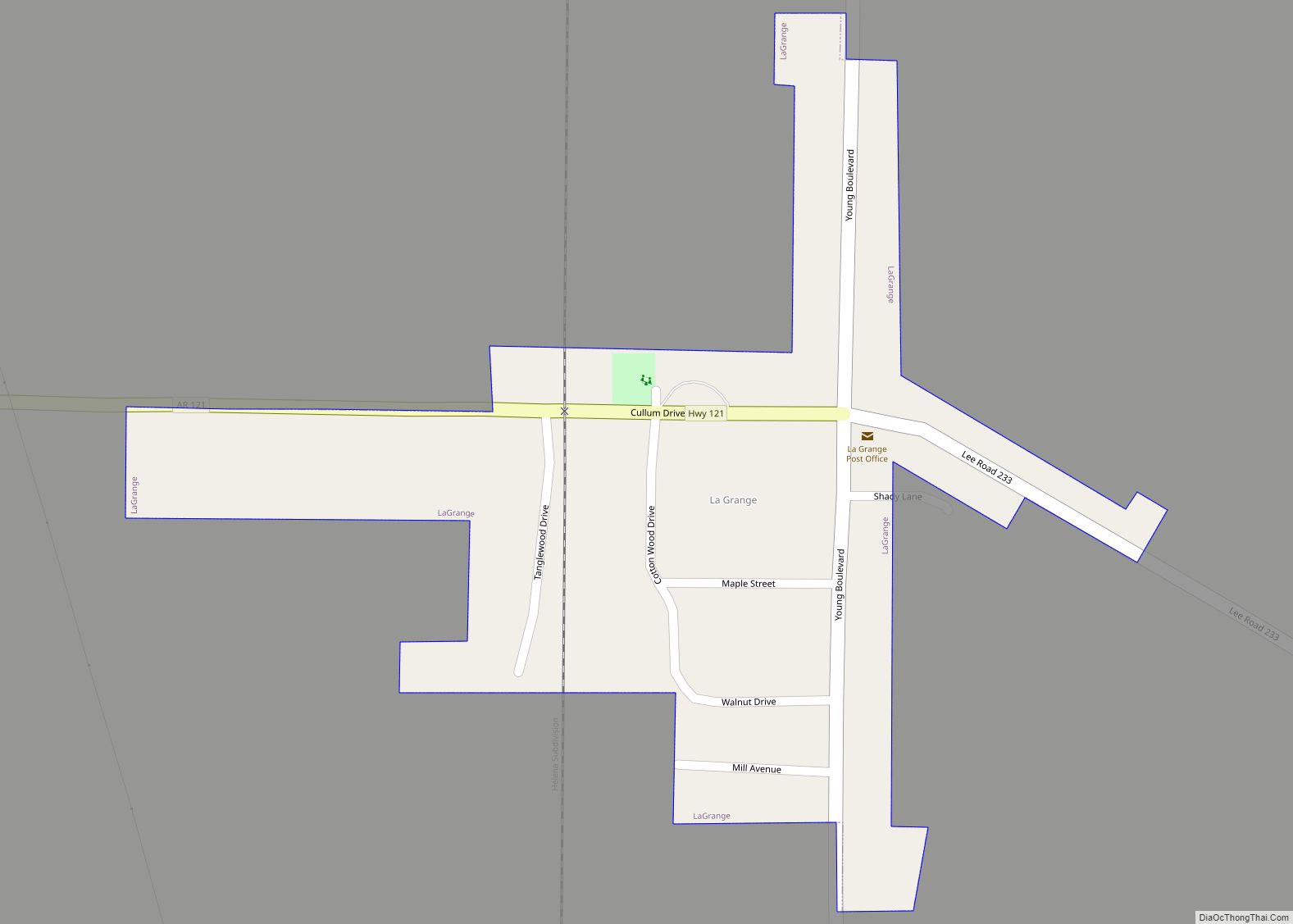
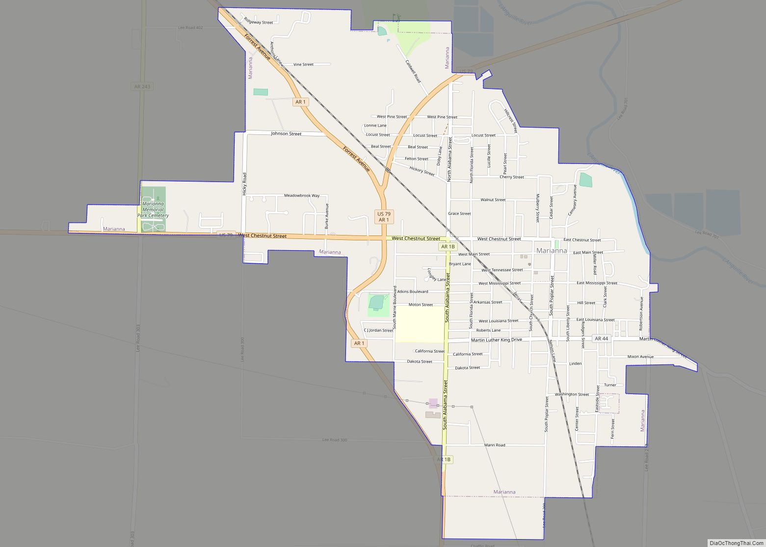
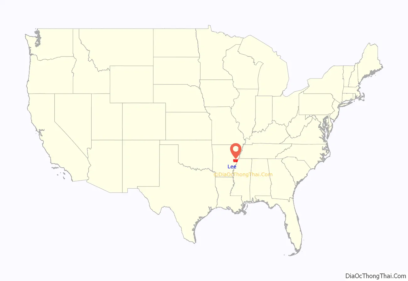
Lee County is a county located in the U.S. state of Arkansas. With its eastern border formed by the Mississippi River, it is considered to be part of the Arkansas Delta. As of the 2020 census, the population was 8,600. The county seat is Marianna.
The county was established by the state legislature on April 17, 1873, during the Reconstruction era. It was named for General Robert E. Lee, who served as General in Chief of the Armies of the Confederate States during the American Civil War. The area of the Delta was developed largely for cotton as a commodity crop before the Civil War, based on the labor of enslaved African Americans. It continued as an important crop into the 20th century, when it was worked by African-American sharecroppers and tenant farmers.
| Name: | Lee County |
|---|---|
| FIPS code: | 05-077 |
| State: | Arkansas |
| Founded: | 1873 |
| Named for: | General Robert E. Lee |
| Seat: | Marianna |
| Total Area: | 620 sq mi (1,600 km²) |
| Land Area: | 603 sq mi (1,560 km²) |
| Total Population: | 8,600 |
| Population Density: | 14/sq mi (5.4/km²) |
| Time zone: | UTC−6 (Central) |
| Summer Time Zone (DST): | UTC−5 (CDT) |
| Website: | leecounty.arkansas.gov |
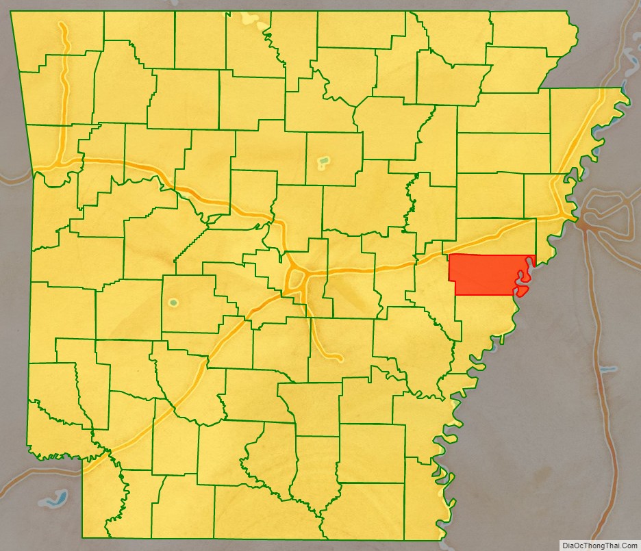
Lee County location map. Where is Lee County?
History
In the post-Reconstruction era, whites struggled to re-establish white supremacy, by violence and intimidation of black Republican Party voters in this area and throughout the South. At the turn of the century, the state legislature passed measures that effectively disenfranchised most blacks for decades. The Equal Justice Initiative reported in 2015 that the county had 15 lynchings of African Americans from 1877 to 1950, most in the decades near the turn of the 20th century. This was the third-highest of any county in the state. To escape the violence and oppression, thousands of African Americans left the state in the Great Migration to northern and western cities, especially after 1940. Mechanization of farming and industrial-scale agriculture have decreased the need for workers. The rural county has continued to lose population because of the lack of work opportunities. There has been a decrease in population every decade since 1940.
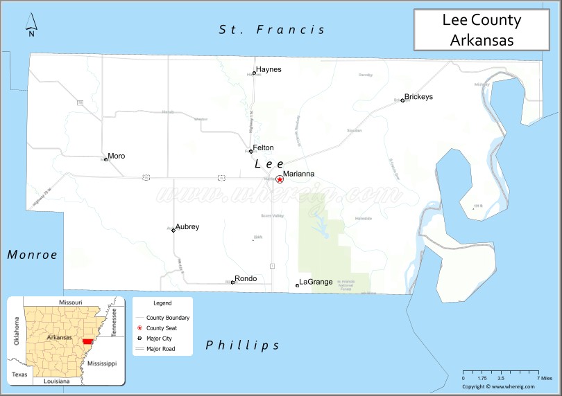
Lee County Road Map
Geography
According to the U.S. Census Bureau, the county has a total area of 620 square miles (1,600 km), of which 603 square miles (1,560 km) is land and 17 square miles (44 km) (2.7%) is water.
Major highways
- U.S. Highway 79
- Highway 1
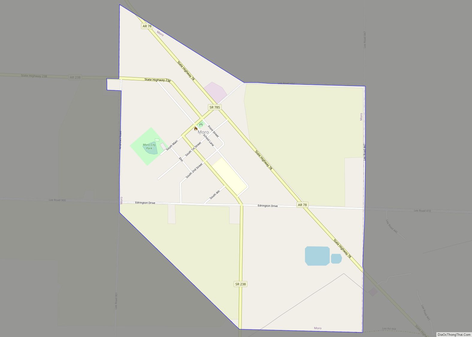
- Highway 78
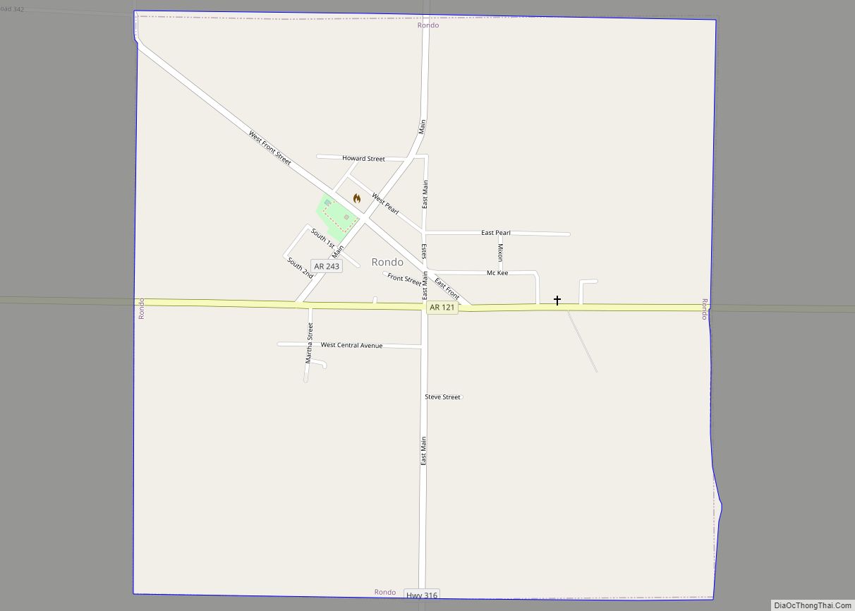
- Highway 121
- Highway 131
- Highway 261
Adjacent counties
- St. Francis County (north)
- Crittenden County (northeast)
- Tunica County, Mississippi (east)
- Phillips County (south)
- Monroe County (west)
National protected area
- St. Francis National Forest (part)
Lee County Topographic Map
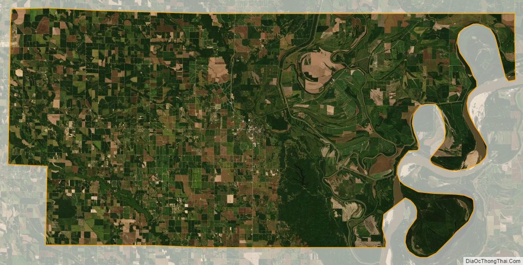
Lee County Satellite Map
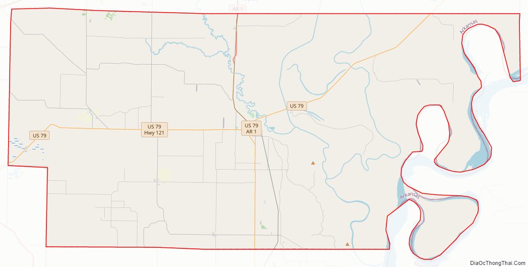
Lee County Outline Map