| Name: | Schleicher County |
|---|---|
| FIPS code: | 48-413 |
| State: | Texas |
| Founded: | 1901 |
| Named for: | Gustav Schleicher |
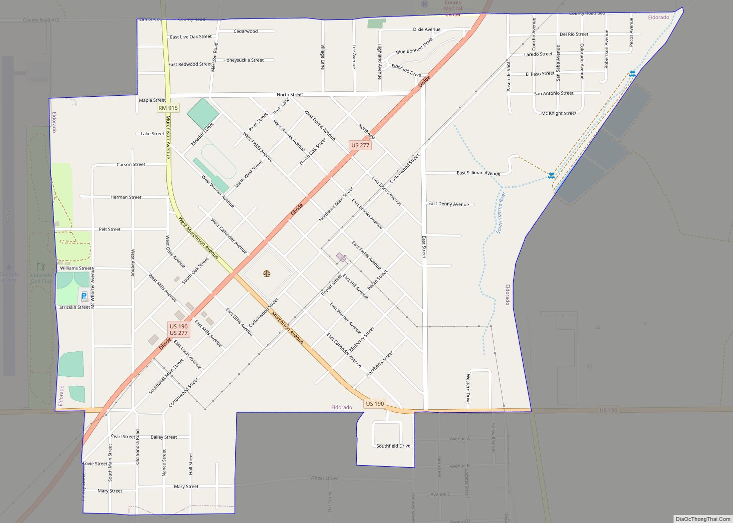
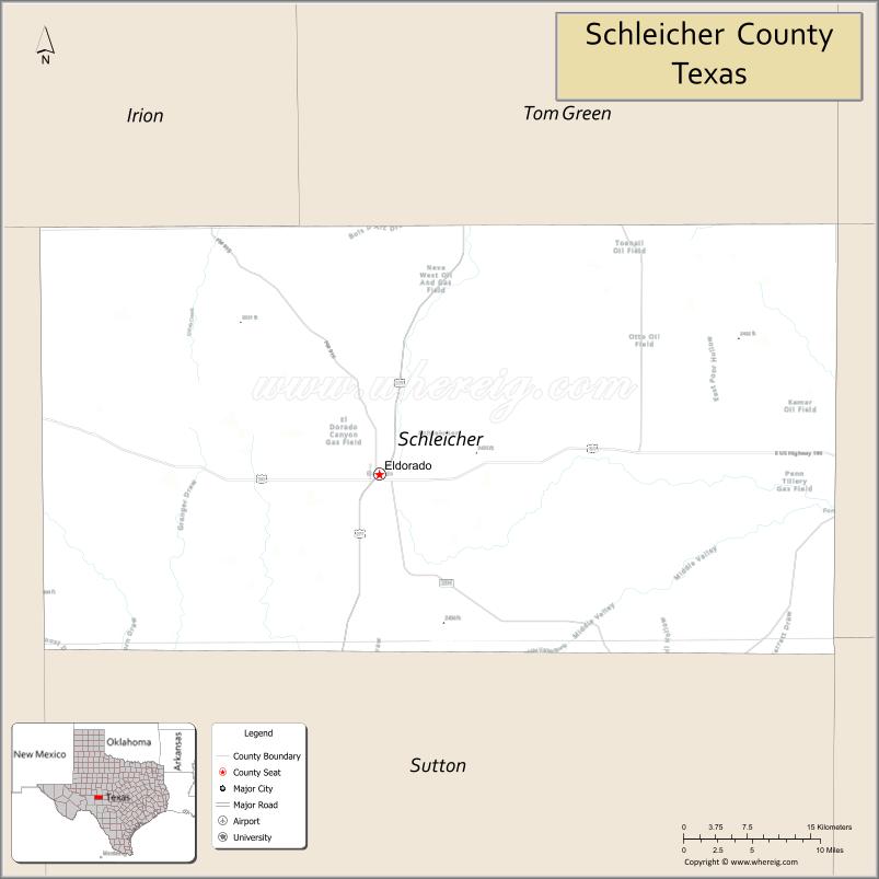
| Seat: | Eldorado |
| Largest city: | Eldorado |
| Total Area: | 1,311 sq mi (3,400 km²) |
| Land Area: | 1,311 sq mi (3,400 km²) |
| Total Population: | 2,451 |
| Population Density: | 1.9/sq mi (0.72/km²) |
| Time zone: | UTC−6 (Central) |
| Summer Time Zone (DST): | UTC−5 (CDT) |
| Website: | www.co.schleicher.tx.us |
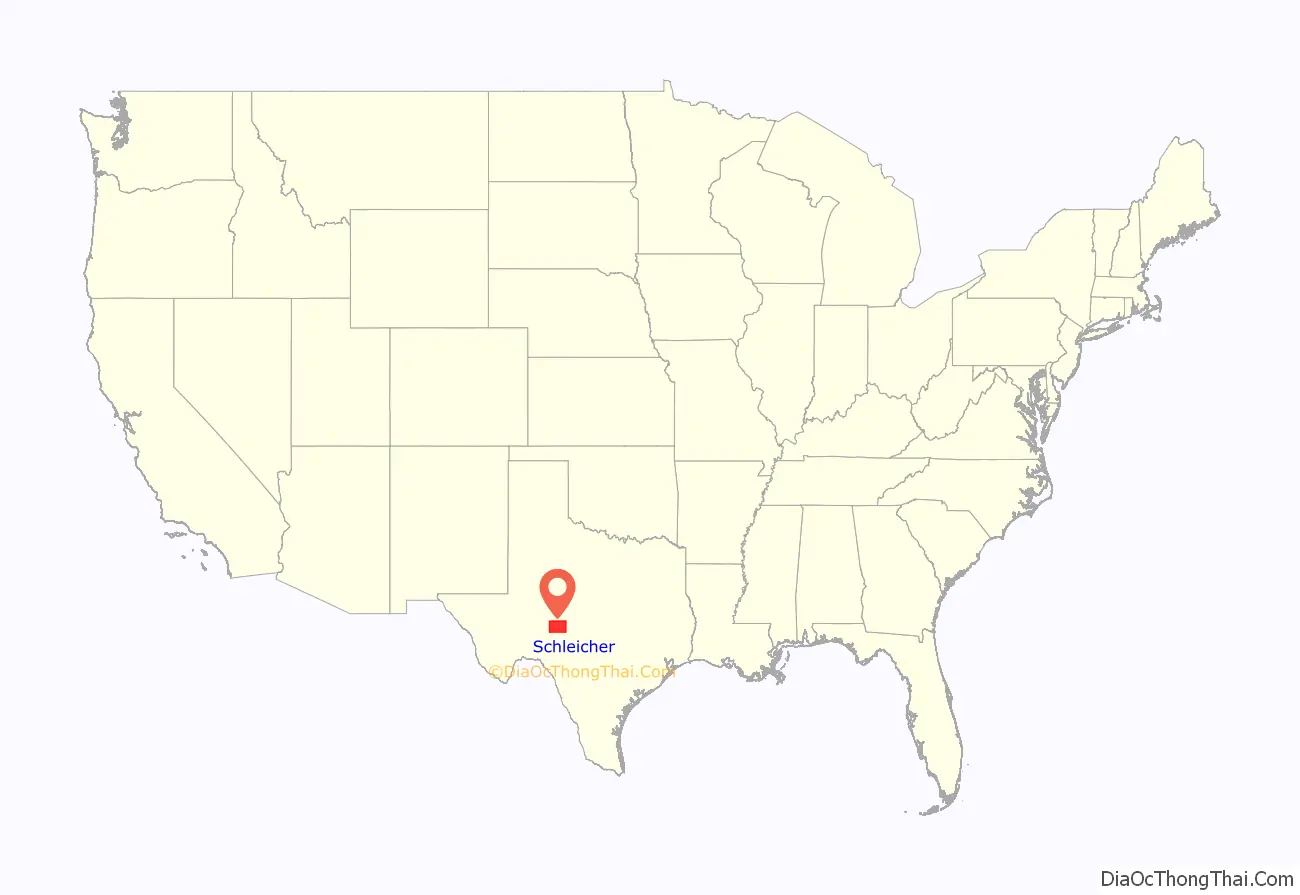
Schleicher County location map. Where is Schleicher County?
History
Around 8000 BC, the first inhabitants in the area were probably Jumano Indians. Later inhabitants were Lipan Apaches and Comanches. In 1632, Fray Juan de Salas and Father Juan de Ortega did missionary work among the Jumanos. Soldier Francisco Amangual led an expedition across the area in 1808. In 1882, Christopher Columbus Doty became the first permanent citizen of Schleicher County.
The Texas Legislature established Schleicher County in April 1887 from Crockett County, and named it in honor of Gustav Schleicher. By 1890, the population was 155, of whom 134 were listed as White, four were Black, and 17 were American Indian.
In 1894, the county’s first public school opened at Verand, and later moved to Eldorado. The next year, W. B. Silliman founded the Eldorado community and named it after the mythical city. To populate it, he offered free town lots to residents of nearby Verand. In 1930, the Panhandle and Santa Fe Railway Company resumed work on a previous railroad, making access possible to San Angelo and Sonora. On February 27, 1941, the West Texas Woolen Mills plant in Eldorado held a grand opening, with a parade and BBQ lunch. About 5,000 people attended. Governor “Pappy” W. Lee O’Daniel was the guest speaker.
Oilfield discoveries on school lands in the 1950s enabled Schleicher County to build new library and gymnasium facilities for its students.
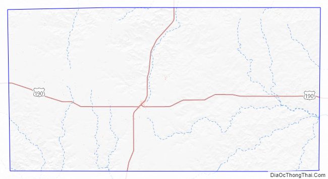
Schleicher County Road Map
Geography
According to the U.S. Census Bureau, the county has a total area of 1,311 square miles (3,400 km).
Major Highways
- U.S. Highway 190
- U.S. Highway 277
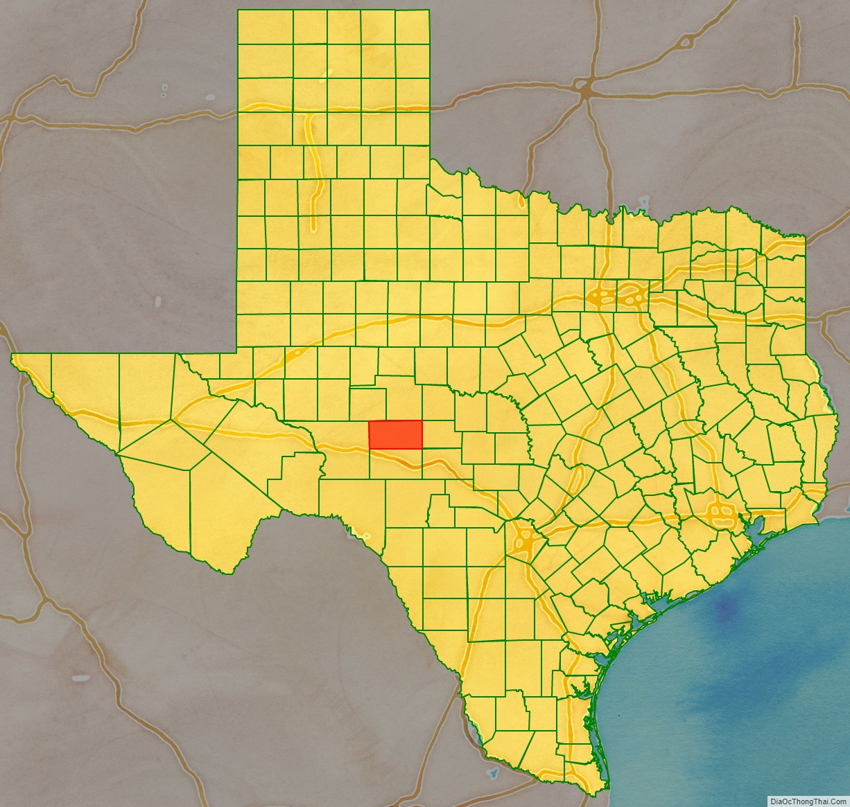
Adjacent counties
- Tom Green County (north)
- Menard County (east)
- Sutton County (south)
- Crockett County (west)
- Irion County (northwest)
- Kimble County (southeast)
Schleicher County Topographic Map
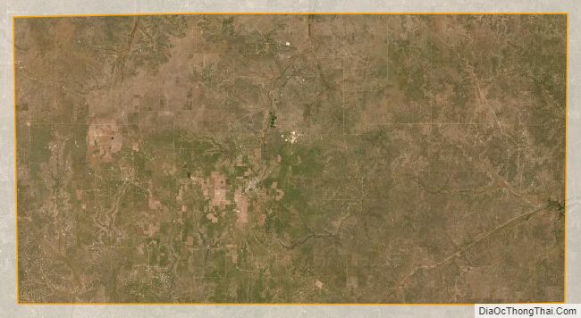
Schleicher County Satellite Map
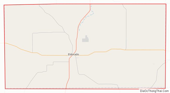
Schleicher County Outline Map