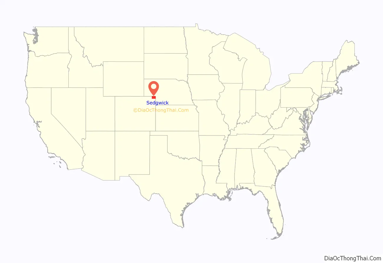
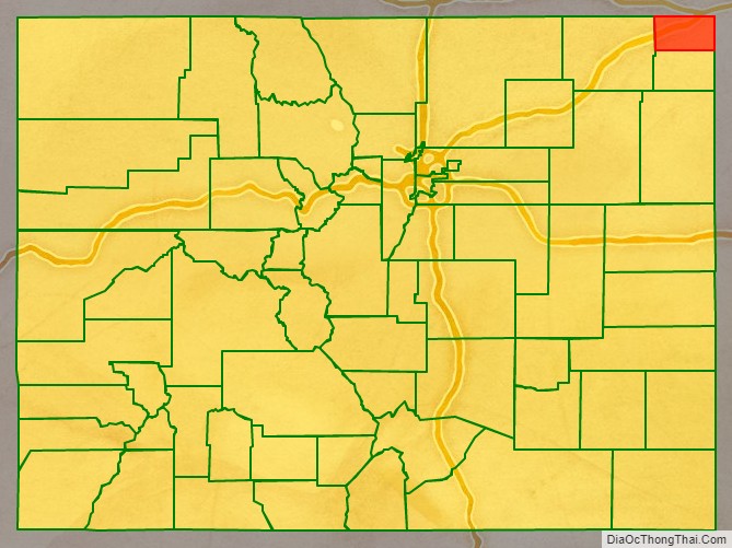
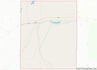
Sedgwick County is a county located in the U.S. state of Colorado. As of the 2020 census, the population was 2,404. The county seat is Julesburg. The county was named for Fort Sedgwick, a military post along the Platte Trail, which was named for General John Sedgwick. It is located near the state border with Nebraska.
| Name: | Sedgwick County |
|---|---|
| FIPS code: | 08-115 |
| State: | Colorado |
| Founded: | April 9, 1889 |
| Named for: | John Sedgwick |
| Seat: | Julesburg |
| Largest town: | Julesburg |
| Total Area: | 549 sq mi (1,420 km²) |
| Land Area: | 548 sq mi (1,420 km²) |
| Total Population: | 2,336 |
| Population Density: | 4.4/sq mi (1.7/km²) |
| Time zone: | UTC−7 (Mountain) |
| Summer Time Zone (DST): | UTC−6 (MDT) |
| Website: | sedgwickcounty.colorado.gov |
Sedgwick County location map. Where is Sedgwick County?
History
Sedgwick County was named after John Sedgwick, who was a major general in the Union Army during the American Civil War.
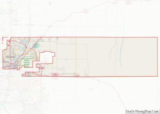
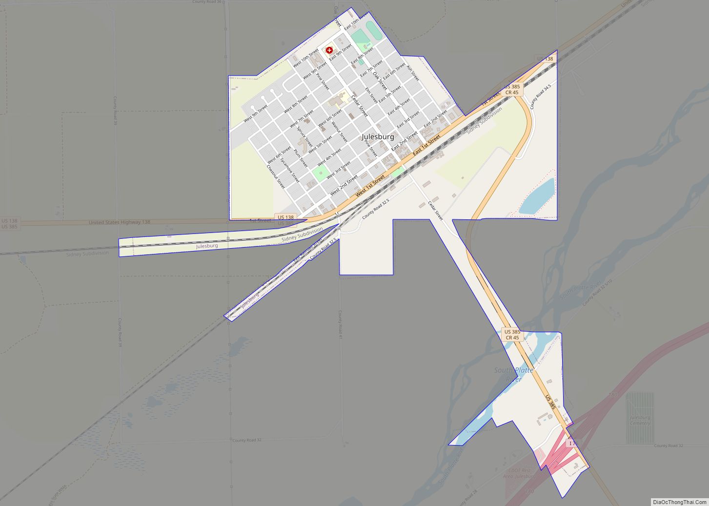
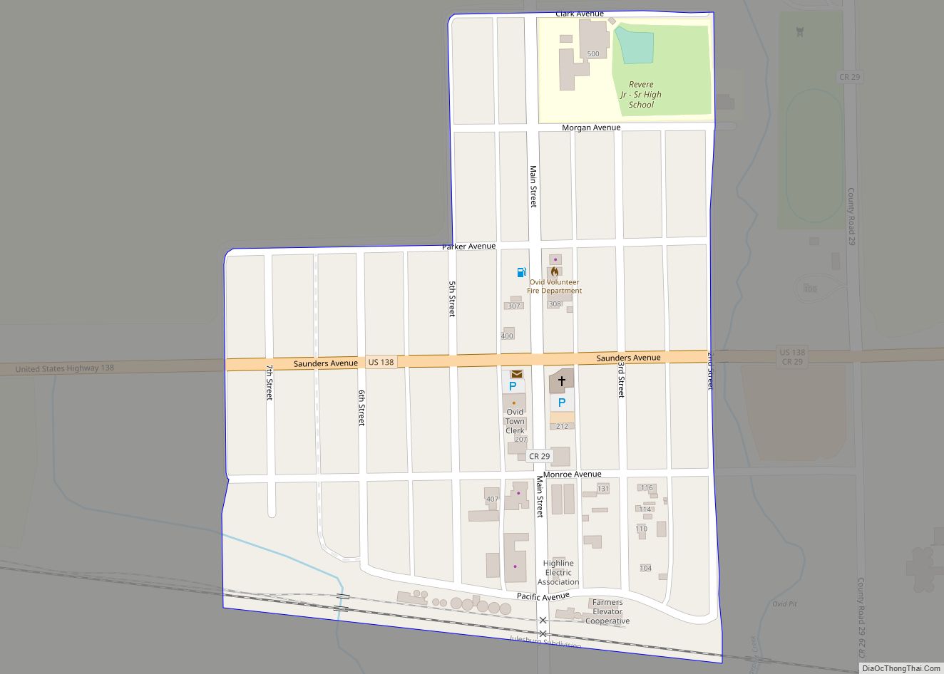
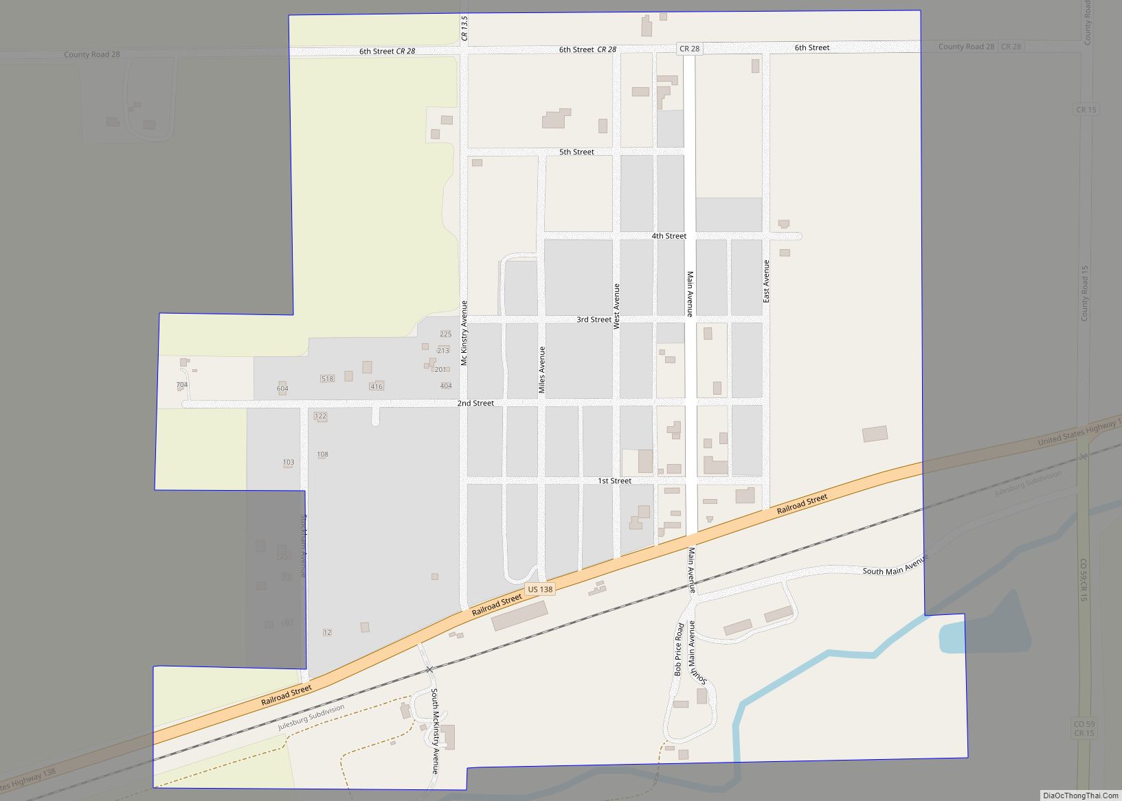
Sedgwick County Road Map
Geography
According to the U.S. Census Bureau, the county has a total area of 549 square miles (1,420 km), of which 548 square miles (1,420 km) is land and 1.4 square miles (3.6 km) (0.2%) is water.
Adjacent counties
- Deuel County, Nebraska – north
- Perkins County, Nebraska – east
- Phillips County – south
- Logan County – west
- Cheyenne County, Nebraska – northwest
Major highways
- Interstate 76
- U.S. Highway 138
- U.S. Highway 385
- State Highway 11
- State Highway 23
- State Highway 59
Trails and byways
- American Discovery Trail
- First transcontinental railroad
- Pony Express National Historic Trail
- South Platte River Trail Scenic and Historic Byway
- South Platte Trail
Upper Crossing of the California Trail
