Julesburg is the statutory town that is the county seat and the most populous municipality of Sedgwick County, Colorado, United States. The population was 1,307 at the 2020 United States Census.
| Name: | Julesburg town |
|---|---|
| LSAD Code: | 43 |
| LSAD Description: | town (suffix) |
| State: | Colorado |
| County: | Sedgwick County |
| Incorporated: | November 18, 1886 |
| Elevation: | 3,478 ft (1,060 m) |
| Total Area: | 1.51 sq mi (3.92 km²) |
| Land Area: | 1.51 sq mi (3.92 km²) |
| Water Area: | 0.00 sq mi (0.00 km²) |
| Total Population: | 1,307 |
| Population Density: | 870/sq mi (330/km²) |
| ZIP code: | 80737 |
| Area code: | 970 |
| FIPS code: | 0839965 |
Online Interactive Map
Click on ![]() to view map in "full screen" mode.
to view map in "full screen" mode.
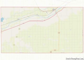
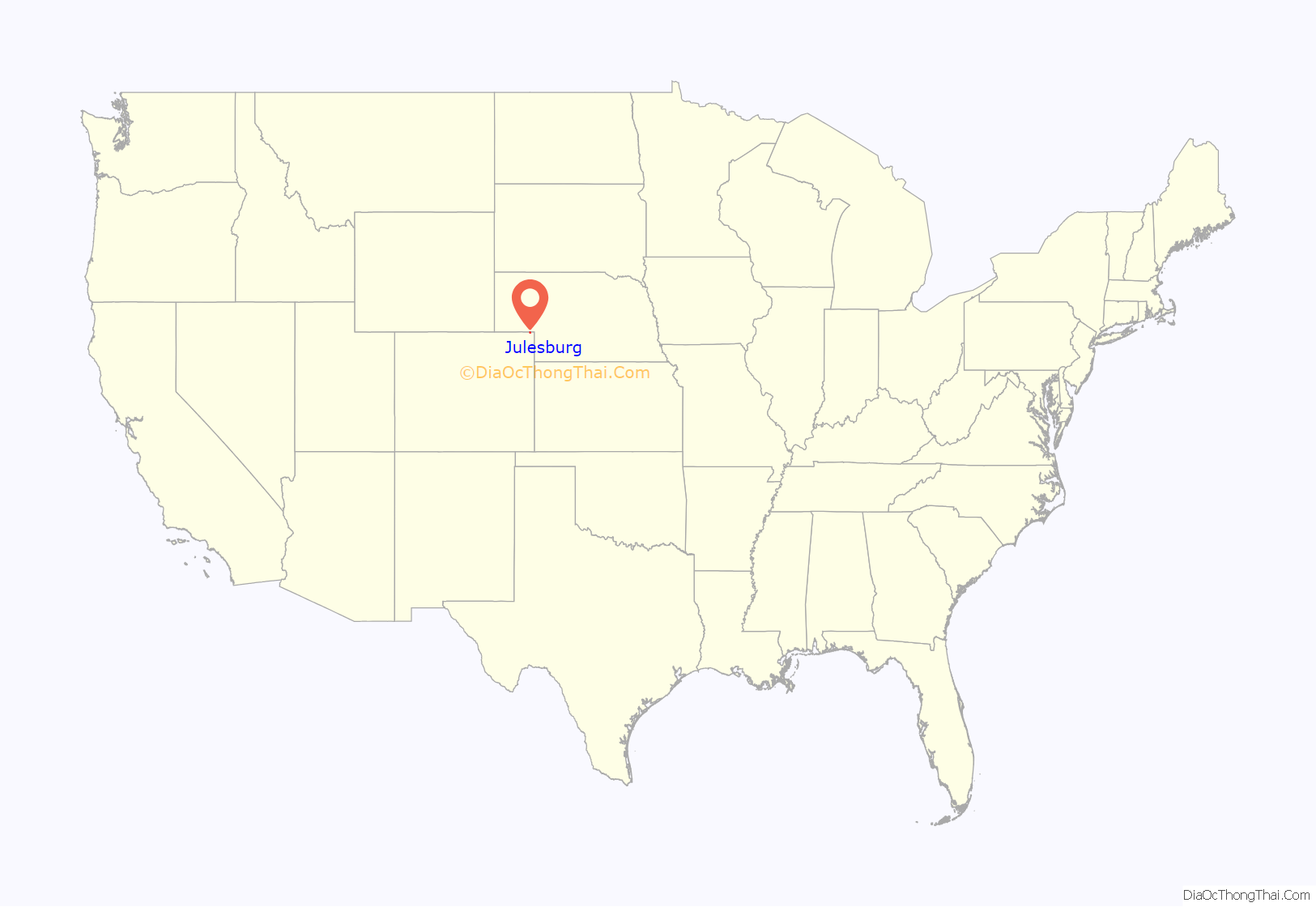
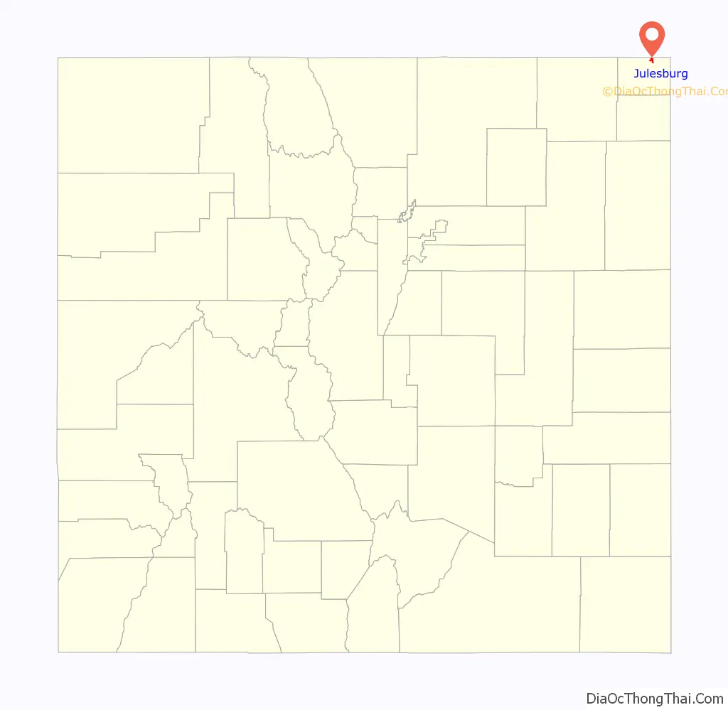
Julesburg location map. Where is Julesburg town?
History
The original trading post was named for Jules Beni. Julesburg was on the Pony Express (1860–1861) route from Missouri to California.
Jack Slade
In 1858, Joseph A. “Jack” Slade, a superintendent for the Central Overland California and Pikes Peak Express Company, was tracking down horse thieves, including Jules Beni. Slade caught up with him at Julesburg, but Beni shot him five times. Everybody thought that Slade was dead and several angry townsfolk chased Beni out of Julesburg. When they returned, they found Slade struggling to his feet, having miraculously recovered.
Beni continued to steal horses from the Pike’s Peak Express Company, and Slade vowed to hunt him down. Beni attempted to ambush Slade at Slade’s own ranch at Cold Springs. But Slade found out about the planned ambush and, along with some of his cowboys, captured Beni. Slade did not take Beni to authorities but instead shot him dead while he was tied to a fence post. He shot off each of his fingers, and then put the gun in Beni’s mouth and pulled the trigger. Afterward, he severed Beni’s ears as trophies.
This account is among the Stories of the Century, a syndicated television series starring and narrated by Jim Davis, which aired on March 4, 1955. Gregg Palmer (1927-2015) played the role of Slade, and Paul Newlan (1903–1973) portrayed Beni.
Battle of Julesburg
Julesburg was a large and prominent stagecoach station and the site of Fort Rankin (later Fort Sedgwick). In revenge for the Sand Creek Massacre, one thousand Cheyenne, Arapaho, and Lakota warriors attacked Julesburg on January 7, 1865. In the battle the Indians defeated about 60 soldiers of the U.S. army and 50 armed civilians. In the following weeks the Indians raided up and down the South Platte River valley. On February 2 they returned to Julesburg and burned down all the buildings in the settlement, although not attacking the soldiers and civilians holed up in the fort. At the time, the town was said to have had over 1000 buildings.
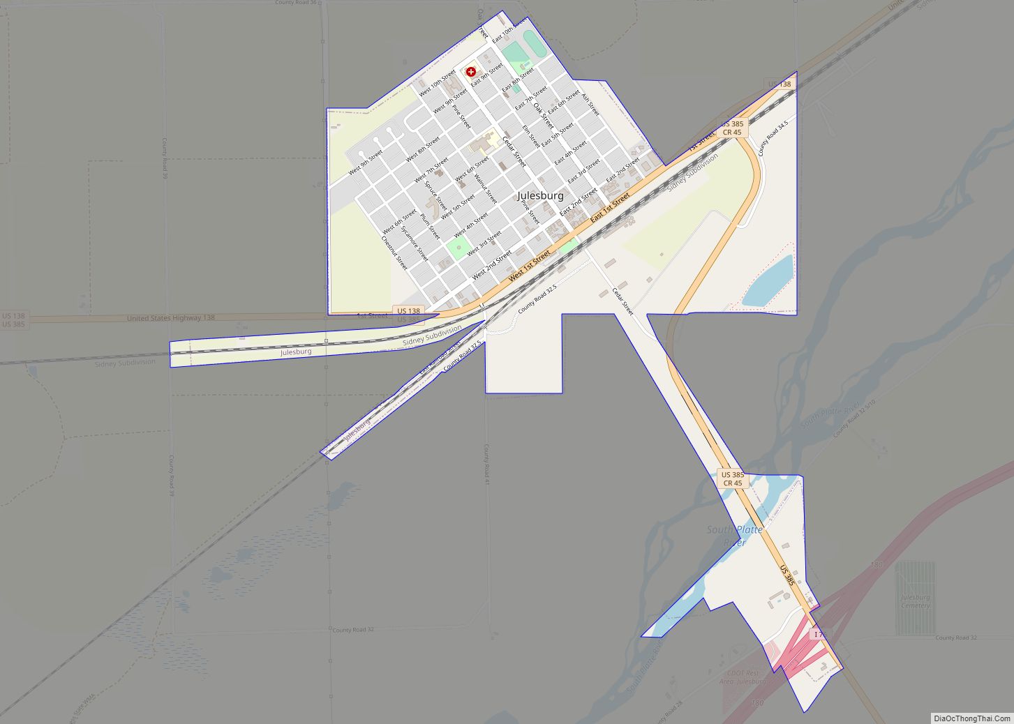
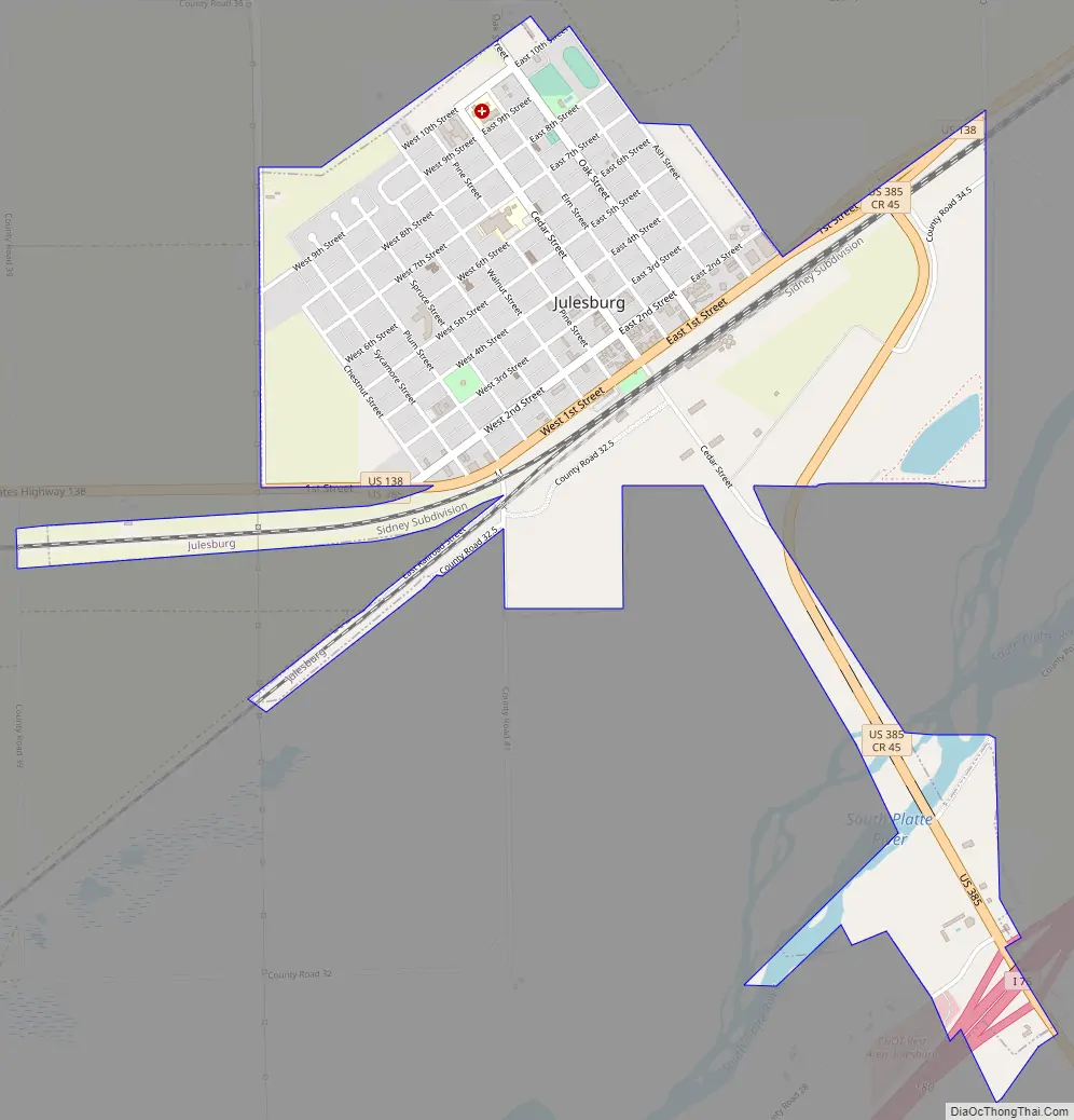
Julesburg Road Map
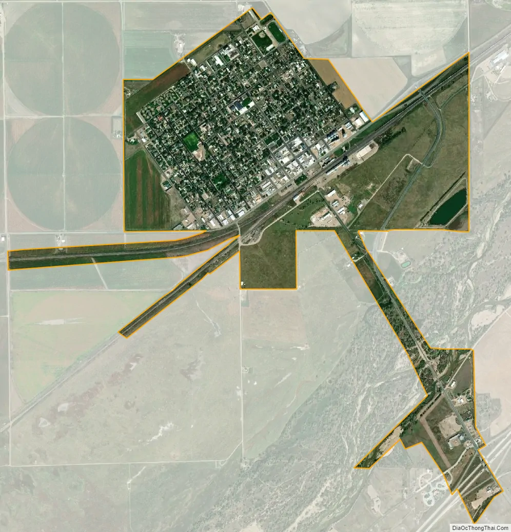
Julesburg city Satellite Map
Geography
Julesburg is located at 40°59′18″N 102°16′0″W / 40.98833°N 102.26667°W / 40.98833; -102.26667 (40.988422, −102.266677). According to the United States Census Bureau, the town has a total area of 1.3 square miles (3.4 km), all of it land.
The town is located on the north side of the South Platte River, along U.S. 138 and U.S. 385 and just off of I-76. It is the northernmost town in the state, less than 0.9 mi (1.4 km) south of the Colorado−Nebraska state line.
Climate
Julesburg experiences a semi-arid climate (Köppen BSk) with cold, dry winters and hot, wetter summers.
See also
Map of Colorado State and its subdivision:- Adams
- Alamosa
- Arapahoe
- Archuleta
- Baca
- Bent
- Boulder
- Broomfield
- Chaffee
- Cheyenne
- Clear Creek
- Conejos
- Costilla
- Crowley
- Custer
- Delta
- Denver
- Dolores
- Douglas
- Eagle
- El Paso
- Elbert
- Fremont
- Garfield
- Gilpin
- Grand
- Gunnison
- Hinsdale
- Huerfano
- Jackson
- Jefferson
- Kiowa
- Kit Carson
- La Plata
- Lake
- Larimer
- Las Animas
- Lincoln
- Logan
- Mesa
- Mineral
- Moffat
- Montezuma
- Montrose
- Morgan
- Otero
- Ouray
- Park
- Phillips
- Pitkin
- Prowers
- Pueblo
- Rio Blanco
- Rio Grande
- Routt
- Saguache
- San Juan
- San Miguel
- Sedgwick
- Summit
- Teller
- Washington
- Weld
- Yuma
- Alabama
- Alaska
- Arizona
- Arkansas
- California
- Colorado
- Connecticut
- Delaware
- District of Columbia
- Florida
- Georgia
- Hawaii
- Idaho
- Illinois
- Indiana
- Iowa
- Kansas
- Kentucky
- Louisiana
- Maine
- Maryland
- Massachusetts
- Michigan
- Minnesota
- Mississippi
- Missouri
- Montana
- Nebraska
- Nevada
- New Hampshire
- New Jersey
- New Mexico
- New York
- North Carolina
- North Dakota
- Ohio
- Oklahoma
- Oregon
- Pennsylvania
- Rhode Island
- South Carolina
- South Dakota
- Tennessee
- Texas
- Utah
- Vermont
- Virginia
- Washington
- West Virginia
- Wisconsin
- Wyoming