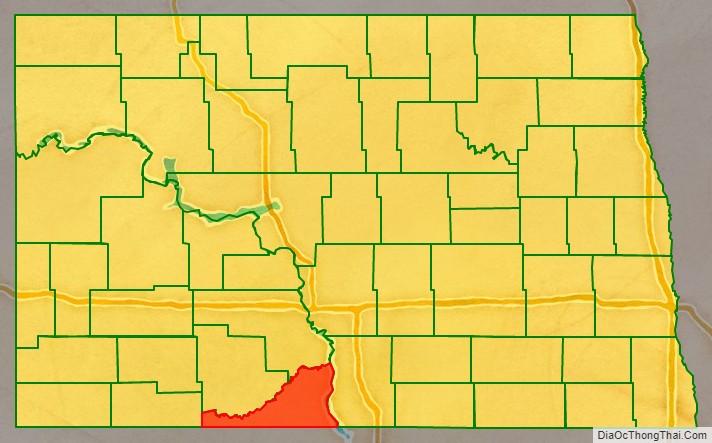
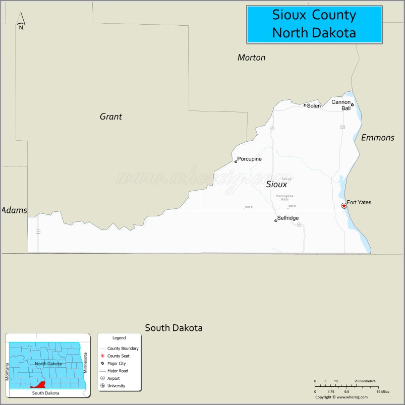
Sioux County is a county located along the southern border of the U.S. state of North Dakota. As of the 2020 census, the population was 3,898. Its eastern border is the Missouri River and its county seat is Fort Yates.
| Name: | Sioux County |
|---|---|
| FIPS code: | 38-085 |
| State: | North Dakota |
| Founded: | 1915 |
| Named for: | Sioux people |
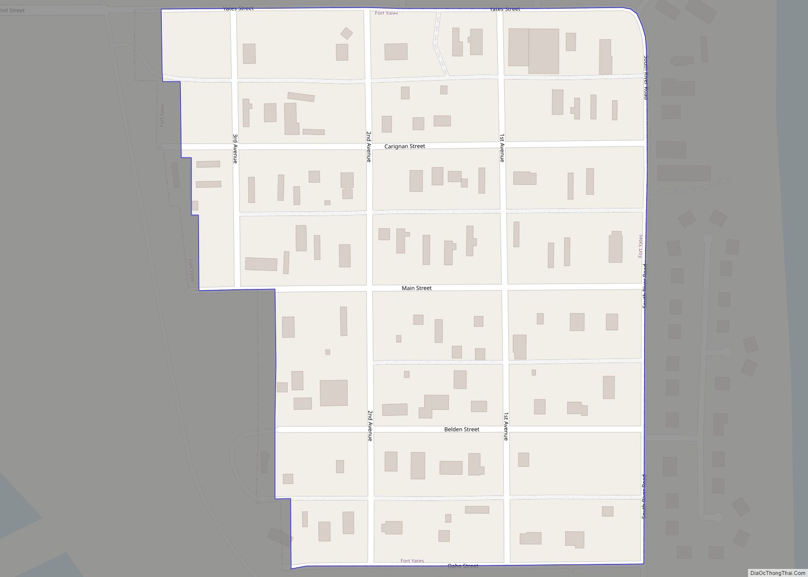
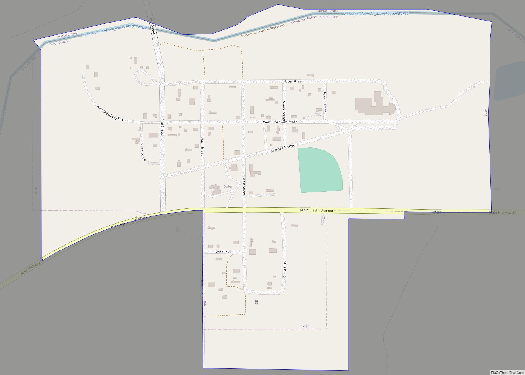
| Seat: | Fort Yates |
| Total Area: | 1,128 sq mi (2,920 km²) |
| Land Area: | 1,094 sq mi (2,830 km²) |
| Total Population: | 3,898 |
| Population Density: | 3.5/sq mi (1.3/km²) |
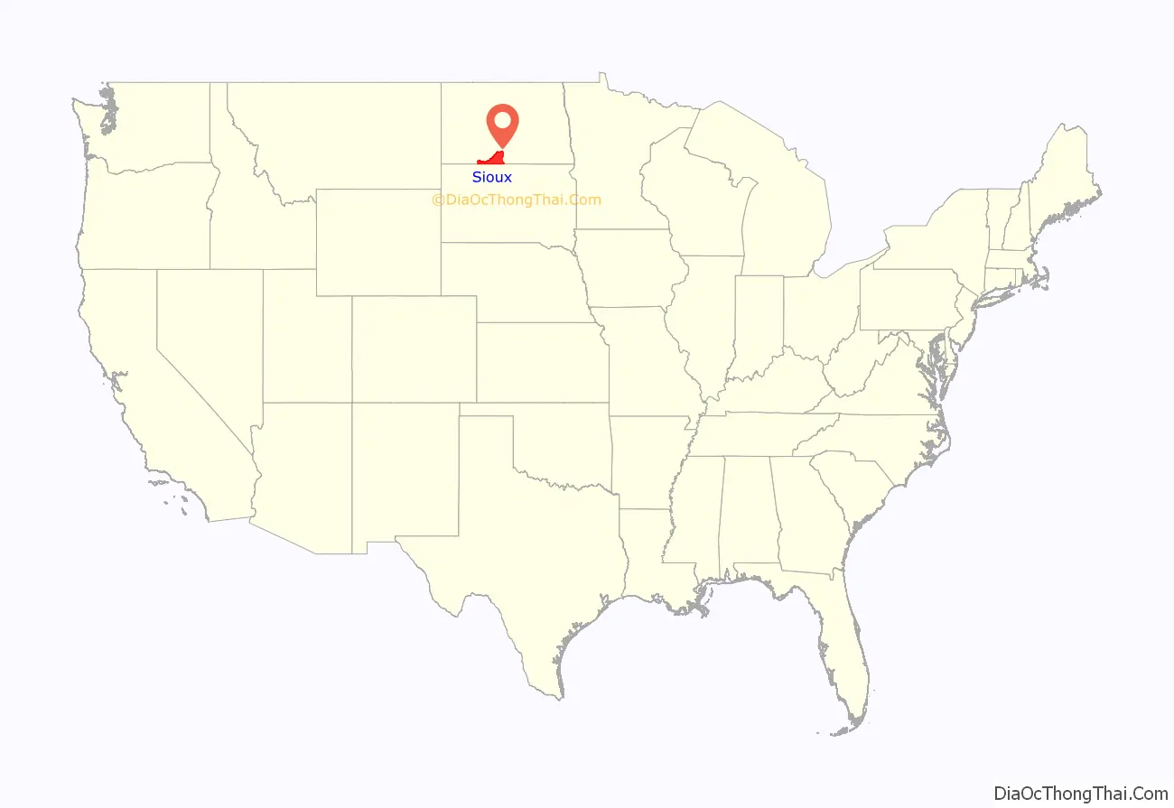
Sioux County location map. Where is Sioux County?
History
The county was created by proclamation of Governor Louis B. Hanna on September 3, 1914. It was named for the Native American Lakota, whose historic territory included this area. The county government organization was completed on September 12 of that year. The county lies entirely within the Standing Rock Indian Reservation, forming the northernmost 30 percent of the reservation; the balance of the reservation is in South Dakota. It is the only county in North Dakota that is entirely within an Indian reservation. From 2013 to 2018, Sioux County was included in the Bismarck, ND Metropolitan Statistical Area.
Sioux County Road Map
Geography
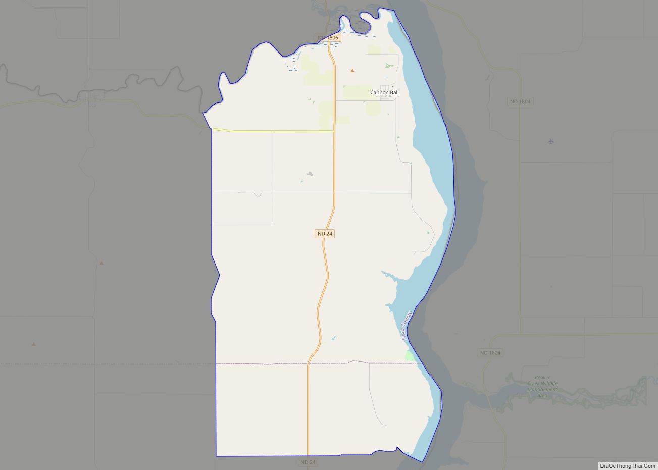
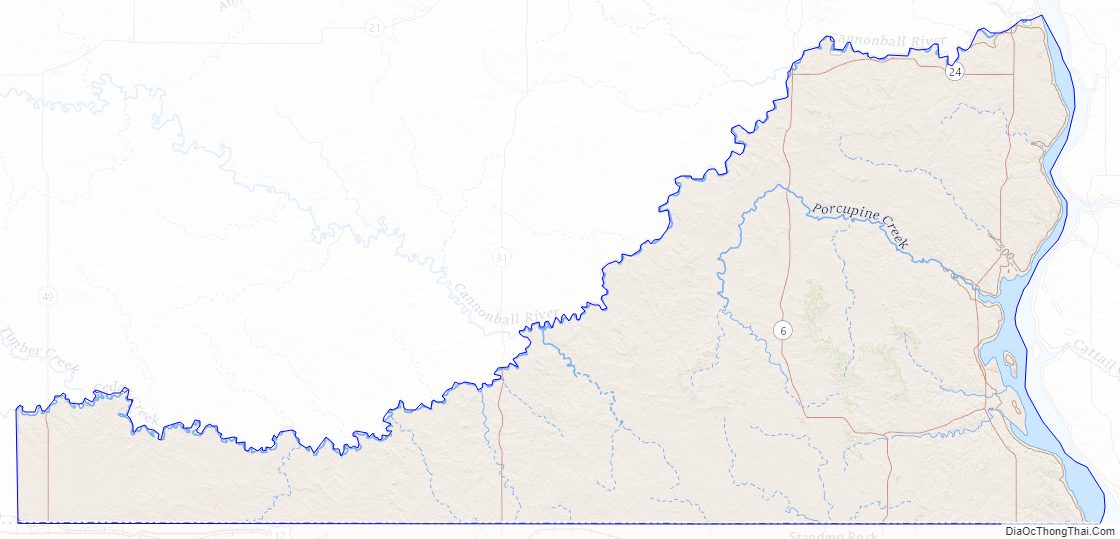
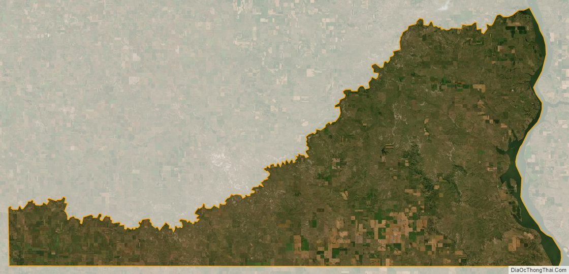
Sioux County lies on the south line of North Dakota. Its south boundary line abuts the north boundary line of the state of South Dakota. Its north boundary line is formed by the east-northeastward-flowing Cedar Creek, which discharges into the Missouri River at the county’s northeast corner, and its east boundary line is formed by the south-southeast-flowing Missouri River, which also forms Lake Oahe along the county boundary line. Porcupine Creek flows southeastward into the Missouri River, draining the northeastern part of the county. The county terrain consists of low rolling hills etched with gullies and drainages; the area is mostly devoted to agriculture. The terrain slopes to the east and south; its highest point is on the west line, near the southwestern corner of the county, at 2,602′ (793m) ASL. The county has a total area of 1,128 square miles (2,920 km), of which 1,094 square miles (2,830 km) is land and 34 square miles (88 km) (3.0%) is water.
The southwest corner counties of North Dakota (Adams, Billings, Bowman, Golden Valley, Grant, Hettinger, Slope, and Stark) observe Mountain Time. The counties of McKenzie, Dunn, and Sioux are split, observing Mountain Time in their western portions.
Major highways
- North Dakota Highway 6
- North Dakota Highway 24
- North Dakota Highway 31
- North Dakota Highway 49
- North Dakota Highway 1806
Adjacent counties
- Morton County – north (observes Central Time)
- Emmons County – east (observes Central Time)
- Corson County, South Dakota – south (observes Mountain Time)
- Adams County – west (observes Mountain Time)
- Grant County – northwest (observes Mountain Time)
Protected areas
- Cedar River National Grassland (part)
- Froelich Dam State Game Management Area
Sioux County Topographic Map
Sioux County Satellite Map
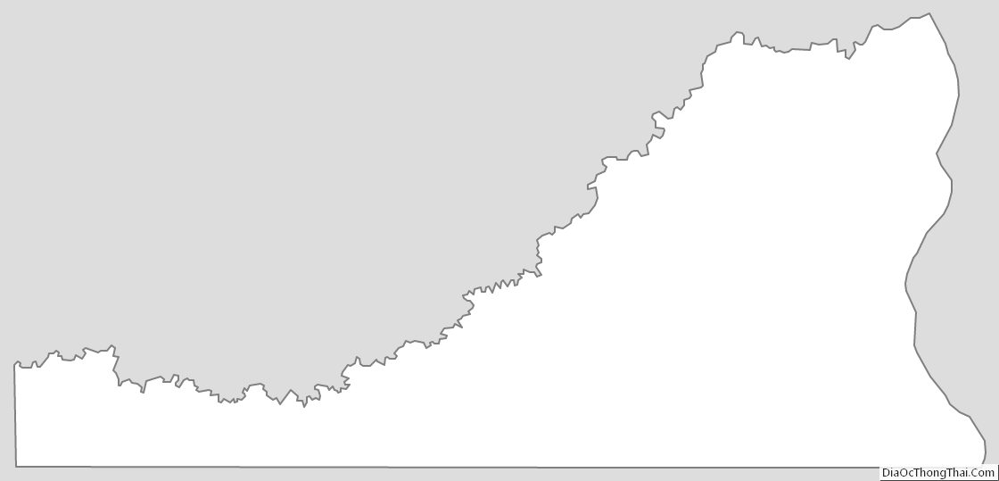
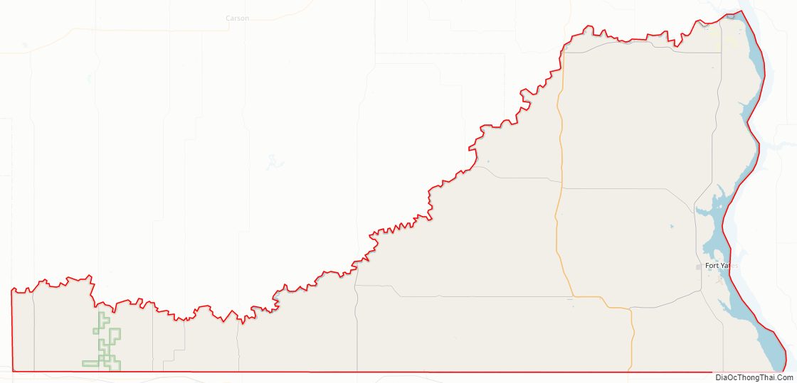
Sioux County Outline Map