Fort Yates is a city in Sioux County, North Dakota, United States. It is the tribal headquarters of the Standing Rock Sioux Tribe and county seat of Sioux County. Since 1970 the population has declined markedly from more than 1,100 residents, as people have left for other locations for work. The population was 176 at the 2020 census.
| Name: | Fort Yates city |
|---|---|
| LSAD Code: | 25 |
| LSAD Description: | city (suffix) |
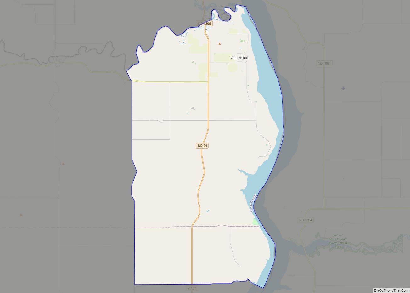
| State: | North Dakota |
| County: | Sioux County |
| Founded: | 1863 |
| Elevation: | 1,634 ft (498 m) |
| Total Area: | 0.06 sq mi (0.16 km²) |
| Land Area: | 0.06 sq mi (0.16 km²) |
| Water Area: | 0.00 sq mi (0.00 km²) |
| Total Population: | 176 |
| Population Density: | 2,933.33/sq mi (1,126.65/km²) |
| ZIP code: | 58538 |
| Area code: | 701 |
| FIPS code: | 3827860 |
| GNISfeature ID: | 1029027 |
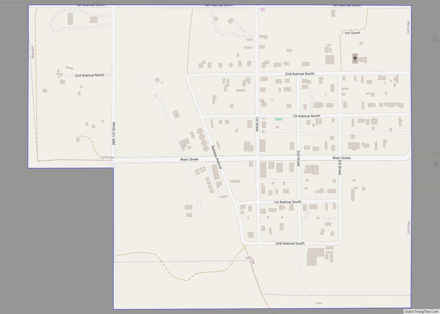
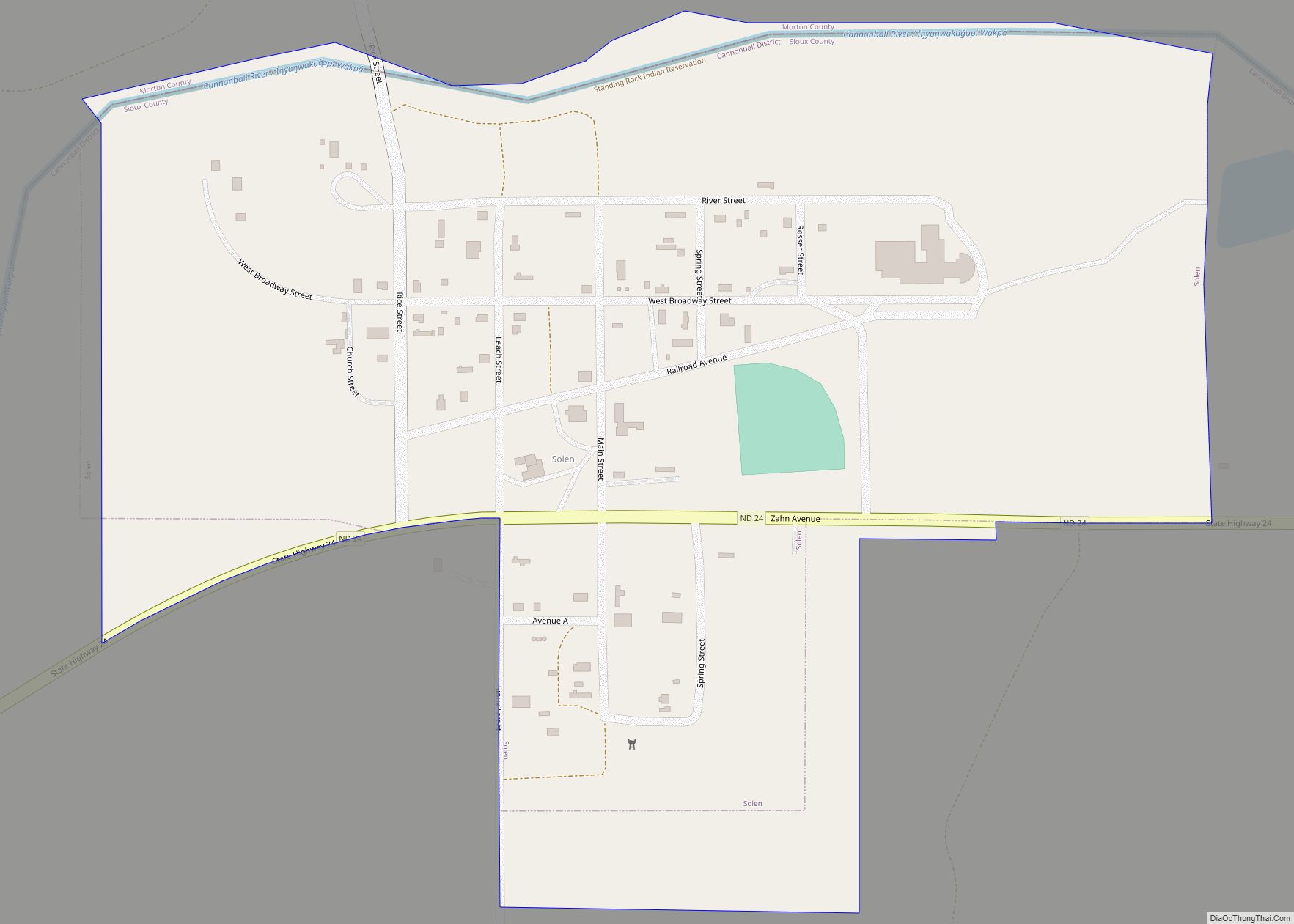
Online Interactive Map
Click on ![]() to view map in "full screen" mode.
to view map in "full screen" mode.
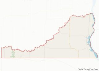
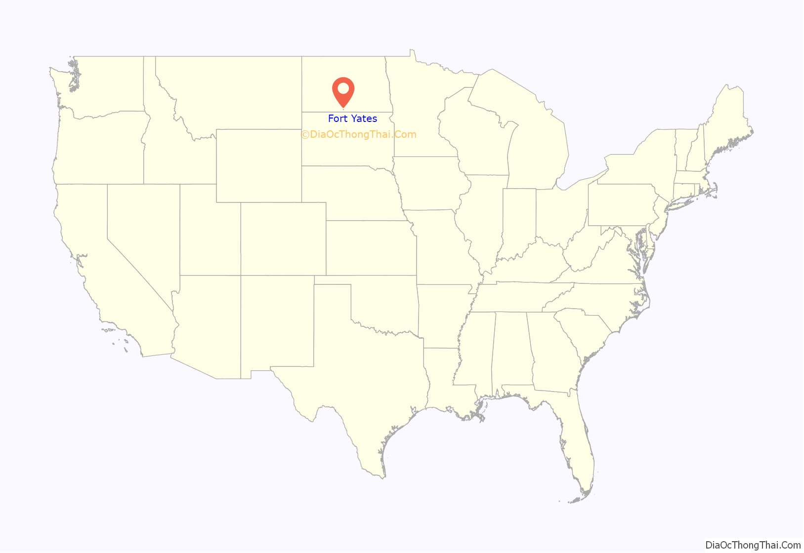
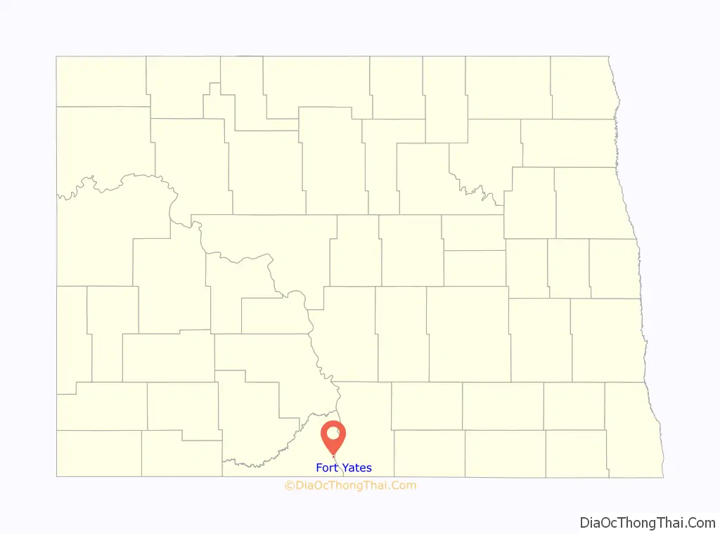
Fort Yates location map. Where is Fort Yates city?
History
A primarily Native American settlement developed here after a US Army post at this site was established in 1863 as the Standing Rock Cantonment, intended for the US Army garrison to oversee the Hunkpapa and Blackfeet bands, and the Inhunktonwan and Cuthead of the Upper Yanktonai, of the Lakota Oyate. In 1878 the US Army renamed the fort to honor Captain George Yates, who was killed by the Lakota Oyate at the Battle of Little Big Horn in 1876. The town that developed was also known as Fort Yates. The Army post and fort were decommissioned in 1903.
Fort Yates also served as the headquarters of the US Standing Rock Indian Agency, which in the late 19th century was headed by US Indian Service Agent James McLaughlin. Worried about the Hunkpapa Lakota chief Sitting Bull possibly taking part in the Ghost Dance movement, he ordered the arrest of the chief on December 14, 1890. During the bungled event the chief was shot and killed at dawn in his log cabin by agency non-Hunkpapa Dakota police.
Sitting Bull was buried at Fort Yates. In 1953, his family authorized his remains to be exhumed and transferred to a gravesite overlooking the Missouri River near his birthplace at Mobridge, South Dakota. A monument dedicated to Sitting Bull was installed at his burial site at Fort Yates. Another monument, with his bust on a pedestal, overlooks the Missouri River at the Mobridge burial site.
This city has become the tribal headquarters of the federally recognized Standing Rock Sioux Tribe, whose reservation encompasses it. They founded Sitting Bull College in Fort Yates, a tribal college now named for their noted 19th-century leader. Known also as “Long Soldier”, it is the most populous electoral district of the reservation.
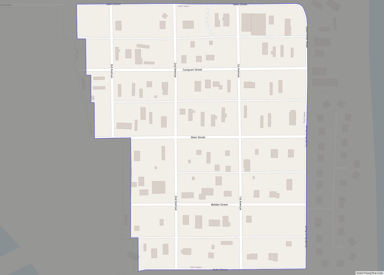
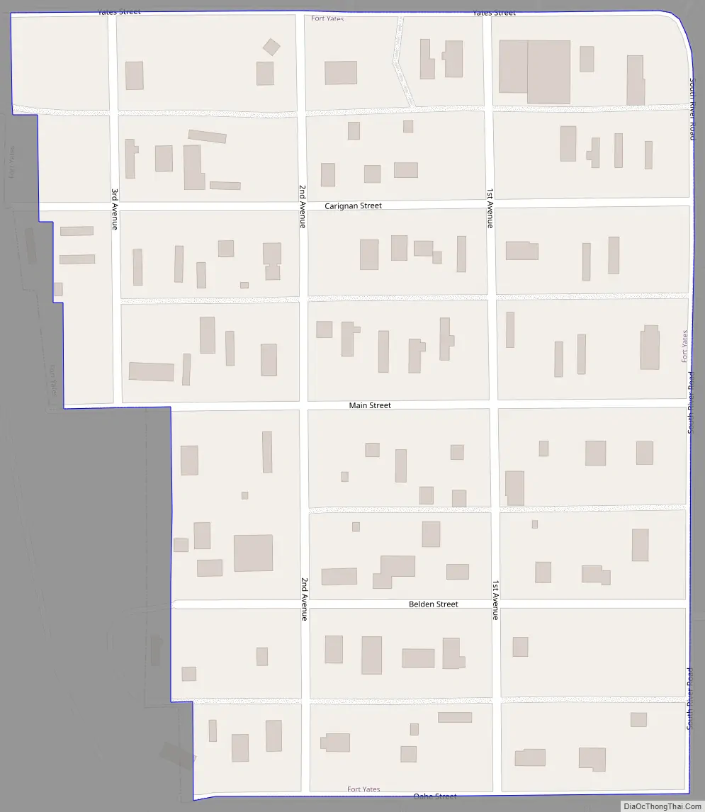
Fort Yates Road Map
Fort Yates city Satellite Map
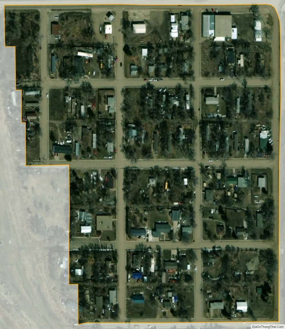
Geography
Fort Yates is located at 46°5′6″N 100°37′49″W / 46.08500°N 100.63028°W / 46.08500; -100.63028 (46.084899, -100.630144). Fort Yates is located on the western bank of Lake Oahe.
According to the United States Census Bureau, the city has a total area of 0.06 square miles (0.16 km), all land. Fort Yates has a semiarid climate (Köppen BSk), with hot summers, cold and very dry winters (though sometimes moderated by chinook winds) and substantial diurnal temperature ranges. On February 2, 1992 the city recorded 72 °F or 22.2 °C, the highest ever recorded for any winter month in North Dakota. Depending on the climatic maps and the data used the city can be considered the northernmost urban area of the humid continental climate (Dfa) in an isolated occurrence at 46 °N. At the same time that Fort Yates is around different climatic types and subtypes in a situation rare and unusual. Dfb to the northeast and west, Dwb to the northwest and east, BSk to the southwest and south, and Dwa to the west.
See also
Map of North Dakota State and its subdivision:- Adams
- Barnes
- Benson
- Billings
- Bottineau
- Bowman
- Burke
- Burleigh
- Cass
- Cavalier
- Dickey
- Divide
- Dunn
- Eddy
- Emmons
- Foster
- Golden Valley
- Grand Forks
- Grant
- Griggs
- Hettinger
- Kidder
- Lamoure
- Logan
- McHenry
- McIntosh
- McKenzie
- McLean
- Mercer
- Morton
- Mountrail
- Nelson
- Oliver
- Pembina
- Pierce
- Ramsey
- Ransom
- Renville
- Richland
- Rolette
- Sargent
- Sheridan
- Sioux
- Slope
- Stark
- Steele
- Stutsman
- Towner
- Traill
- Walsh
- Ward
- Wells
- Williams
- Alabama
- Alaska
- Arizona
- Arkansas
- California
- Colorado
- Connecticut
- Delaware
- District of Columbia
- Florida
- Georgia
- Hawaii
- Idaho
- Illinois
- Indiana
- Iowa
- Kansas
- Kentucky
- Louisiana
- Maine
- Maryland
- Massachusetts
- Michigan
- Minnesota
- Mississippi
- Missouri
- Montana
- Nebraska
- Nevada
- New Hampshire
- New Jersey
- New Mexico
- New York
- North Carolina
- North Dakota
- Ohio
- Oklahoma
- Oregon
- Pennsylvania
- Rhode Island
- South Carolina
- South Dakota
- Tennessee
- Texas
- Utah
- Vermont
- Virginia
- Washington
- West Virginia
- Wisconsin
- Wyoming