Morton County is a county in the U.S. state of North Dakota. As of the 2020 census, the population was 33,291, making it the seventh-most populous county in North Dakota. Its county seat is Mandan. Morton County is included in the Bismarck, ND, Metropolitan Statistical Area.
| Name: | Morton County |
|---|---|
| FIPS code: | 38-059 |
| State: | North Dakota |
| Founded: | 1873 |
| Named for: | Oliver P. Morton |
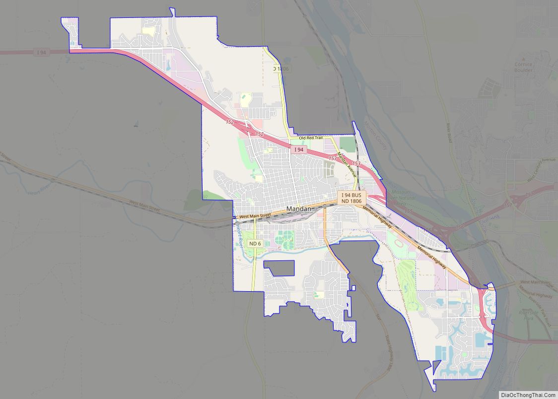
| Seat: | Mandan |
| Largest city: | Mandan |
| Total Area: | 1,945 sq mi (5,040 km²) |
| Land Area: | 1,926 sq mi (4,990 km²) |
| Total Population: | 33,291 |
| Population Density: | 17/sq mi (6.6/km²) |
| Time zone: | UTC−6 (Central) |
| Summer Time Zone (DST): | UTC−5 (CDT) |
| Website: | www.co.morton.nd.us |
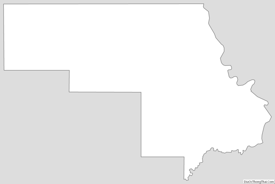
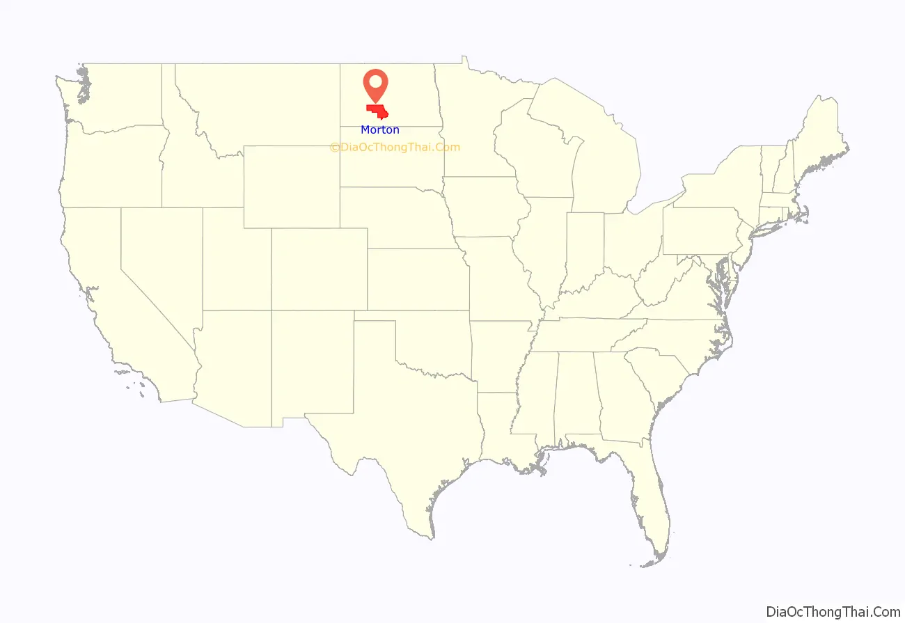
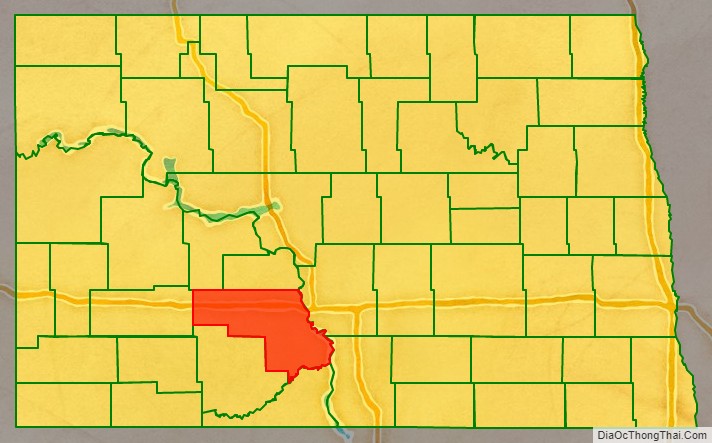
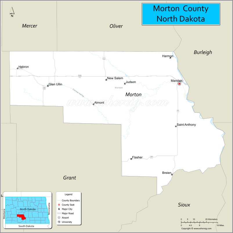
Morton County location map. Where is Morton County?
History
The county was created on January 8, 1873, by the Dakota Territory legislature, using territory that had not previously been included in any county. The county organization was not completed at that time, but the new county was not attached to any other county for administrative or judicial matters. Its organization was completed on November 5, 1878. It was named for Oliver Hazard Perry Throck Morton (1823-1877), governor of Indiana during the American Civil War and later a United States Senator. Portions of the county were partitioned off on February 10, 1879, causing the county organization to be not fully organized. This lasted until February 28, 1881, when the organization was again completed. The county’s boundaries were adjusted in 1881 and in 1887. In 1916, a portion of Morton County was partitioned off to create Grant County, setting Morton County’s boundaries to their present configuration.
After the Northern Pacific Railroad announced the location for the western approach to its Missouri River bridge, a new settlement appeared in December 1878. Initially the US Post Office designated the riverside settlement “Morton” after the corresponding county. The Morton post office later moved to the city center 3 miles west. The county was reorganized in 1881 after the detached land was returned to Morton County by the 1881 legislature. The town, eventually renamed Mandan, was named the county seat.
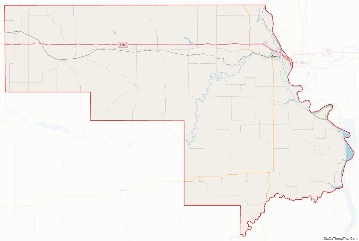
Morton County Road Map
Geography
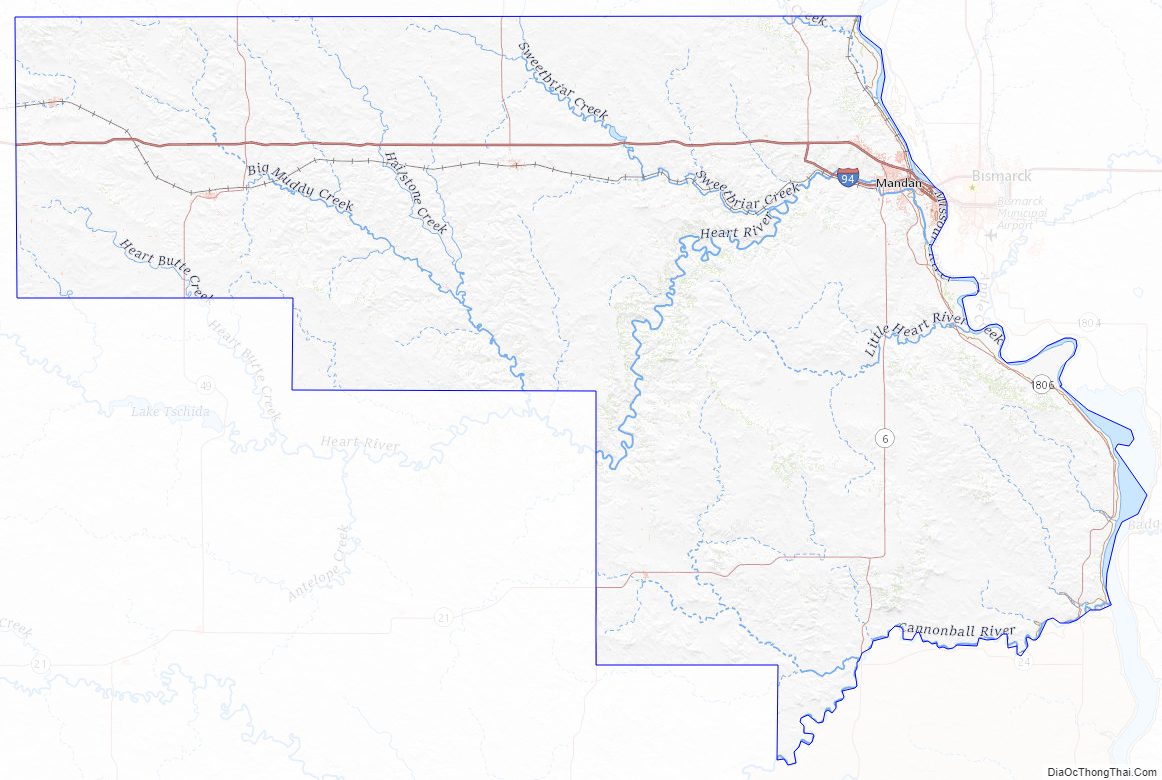
The Missouri River flows south-southeastward along the east boundary line of Morton County, and Cannonball River flows east-northeastward along the eastern portion of the county’s south boundary line. The county terrain consists of low rolling hills, etched by gullies and drainages; the more level areas are devoted to agriculture. The terrain generally slopes to the east and south, but also slopes into the river valleys, with the high point near the midpoint of the north boundary line, at 2,375 ft (724 m) ASL. The county has a total area of 1,945 square miles (5,040 km), of which 1,926 square miles (4,990 km) is land and 19 square miles (49 km) (1.0%) is water.
Major highways
- Interstate 94
- North Dakota Highway 6
- North Dakota Highway 21
- North Dakota Highway 25
- North Dakota Highway 31
- North Dakota Highway 49
- North Dakota Highway 1806
Adjacent counties
- Oliver County – north
- Burleigh County – northeast
- Emmons County – east
- Sioux County – southeast
- Grant County – south
- Stark County – west
- Mercer County – northwest
Protected areas
- Lake Patricia National Wildlife Refuge
- Morton County State Game Management Area
- Storm Creek State Game Management Area
- Sweet Briar Dam State Game Management Area
Lakes
- Crown Butte Lake
- Fish Creek Lake
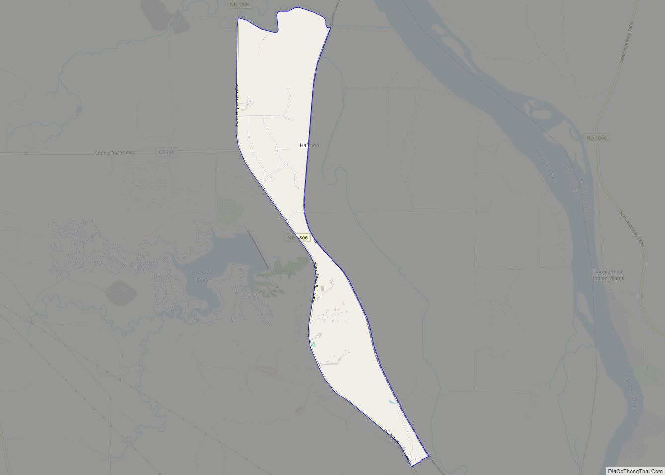
- Harmon Lake
- Lake Oahe (part)
- Lake Patricia
- Storm Creek Lake
- Sweet Briar Lake
Morton County Topographic Map
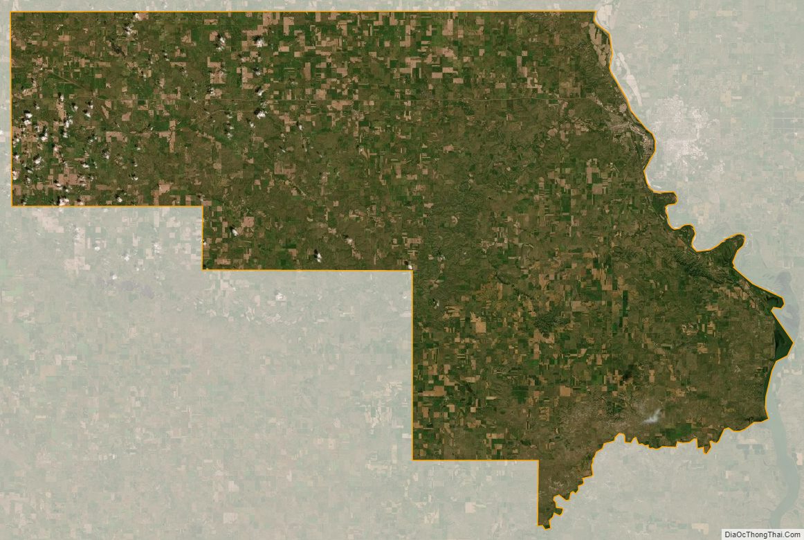
Morton County Satellite Map
Morton County Outline Map