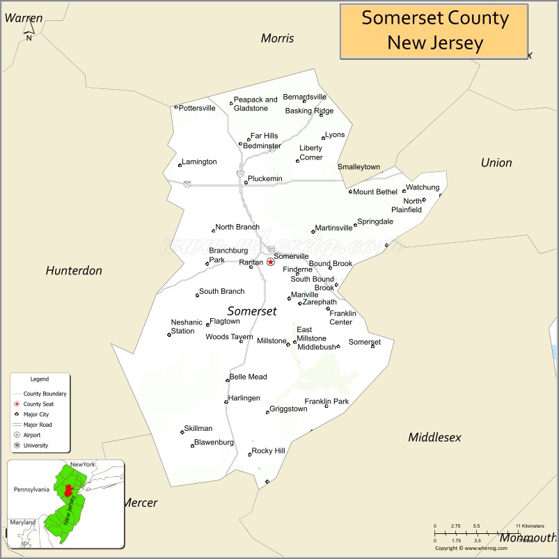
| Name: | Somerset County |
|---|---|
| FIPS code: | 34-035 |
| State: | New Jersey |
| Founded: | May 14, 1688 |
| Named for: | English county of Somerset |
| Seat: | Somerville |
| Largest city: | Franklin Township (population) Hillsborough Township (area) |
| Total Area: | 304.86 sq mi (789.6 km²) |
| Land Area: | 301.81 sq mi (781.7 km²) |
| Total Population: | 345,361 |
| Population Density: | 1,144.3/sq mi (441.8/km²) |
| Website: | www.co.somerset.nj.us |
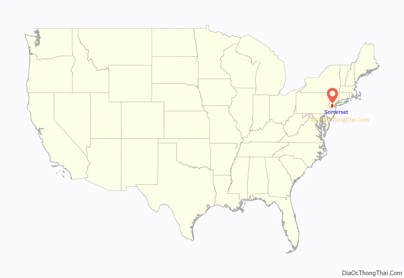
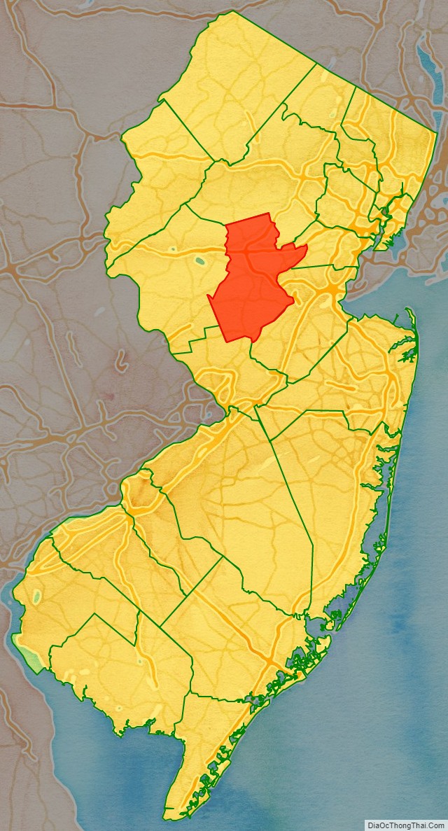
Somerset County location map. Where is Somerset County?
History
Etymology
Somerset County is one of America’s oldest counties, and is named after the English county of Somerset.
History
The area was first settled in 1681, in the vicinity of Bound Brook, and the county was established by charter on May 22, 1688. Most of the early residents were Dutch. General George Washington and his troops marched through the county on several occasions and slept in many of the homes located throughout the area. Somerset County also played an important part during both World War I and World War II with weapons depots and the manufacturing of the army’s woolen blankets. For much of its history, Somerset County was primarily an agricultural county. In the late 19th century, the Somerset Hills area of Somerset County became a popular country home for wealthy industrialists. Into the 21st century, the area is still the home of wealthy businessmen.
In 1917, Somerset County, in cooperation with Rutgers University, hired its first agricultural agent to connect local farmers with expert advice. The Rutgers Cooperative Extension of Somerset County, located in Bridgewater, serves residents in the areas of agriculture and natural resources, 4-H youth development and family and community health sciences.
In the 1960s, townships that were once exclusively agricultural were quickly transformed into suburban communities. Examples include Bridgewater Township and the Watchung Hills communities of Watchung, Green Brook and Warren Township. This growth was aided by the development of the county’s very strong pharmaceutical and technology presence. Warren Township used to be considered “the greenest place in New Jersey.” More recently, there has been an influx of New York City commuters who use NJ Transit’s Raritan Valley Line and Gladstone Branch or use Interstate 78.
In 1996, Nicholas L. Bissell Jr., then county prosecutor, was charged with embezzlement, tax fraud, and abuse of power. He fled to Laughlin, Nevada, near Las Vegas, and killed himself when the federal authorities attempted to arrest him.
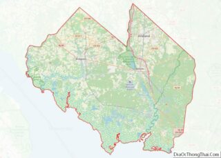
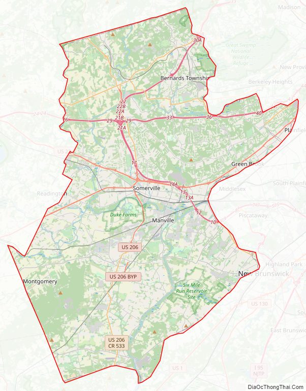
Somerset County Road Map
Geography
According to the 2010 Census, the county had a total area of 304.86 square miles (789.6 km), including 301.81 square miles (781.7 km) of land (99.0%) and 3.04 square miles (7.9 km) of water (1.0%).
The high point is on Mine Mountain in Bernardsville, at approximately 860 feet (260 m) above sea level. The lowest point is just above sea level on the Raritan River at the Middlesex County line.
Climate and weather
In recent years, average temperatures in the county seat of Somerville have ranged from a low of 18 °F (−8 °C) in January to a high of 85 °F (29 °C) in July, although a record low of −16 °F (−27 °C) was recorded in January 1984 and a record high of 105 °F (41 °C) was recorded in August 1955. Average monthly precipitation ranged from 2.84 inches (72 mm) in February to 4.83 inches (123 mm) in July. The county has a humid continental climate which is hot-summer (Dfa) except on Mine Mountain west of Bernardsville where it is warm-summer (Dfb).
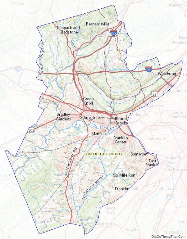
Somerset County Topographic Map
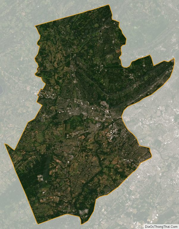
Somerset County Satellite Map
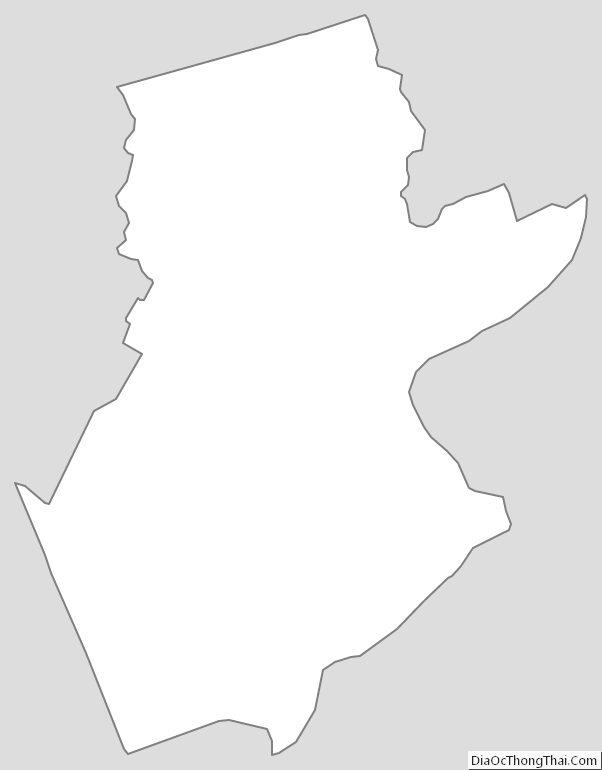
Somerset County Outline Map