Laughlin /ˈlɔːf.lɪn/ is an unincorporated resort town and census-designated place in Clark County, Nevada, United States. Laughlin lies 90 miles (140 km) south of Las Vegas, in the far southern tip of Nevada, and is known for its gaming and water recreation. It is located on the Colorado River, downstream from the Davis Dam and Lake Mohave, and directly across from the much larger Bullhead City, Arizona. As of the 2020 census, the population was 8,658. The nearby communities of Bullhead City, Arizona; Needles, California; Fort Mohave, Arizona; and Mohave Valley, Arizona, bring the area’s total population to about 100,000. Laughlin is also 286 miles (460 km) northeast of Los Angeles.
Laughlin was named for Don Laughlin, an Owatonna, Minnesota, native who purchased the southern tip of Nevada in 1964 (informally called South Pointe). At the time, Don Laughlin operated the 101 Club in Las Vegas. He opened what would become the Riverside Resort, and later wanted to call the community Riverside or Casino, but the post office opted for Laughlin instead.
| Name: | Laughlin CDP |
|---|---|
| LSAD Code: | 57 |
| LSAD Description: | CDP (suffix) |
| State: | Nevada |
| County: | Clark County |
| Founded: | 1964 |
| Elevation: | 558 ft (170 m) |
| Total Area: | 17.33 sq mi (44.89 km²) |
| Land Area: | 16.34 sq mi (42.33 km²) |
| Water Area: | 0.99 sq mi (2.56 km²) 1.55% |
| Total Population: | 8,658 |
| Population Density: | 529.70/sq mi (204.52/km²) |
| Area code: | 702 and 725 |
| FIPS code: | 3241000 |
| GNISfeature ID: | 0856066 |
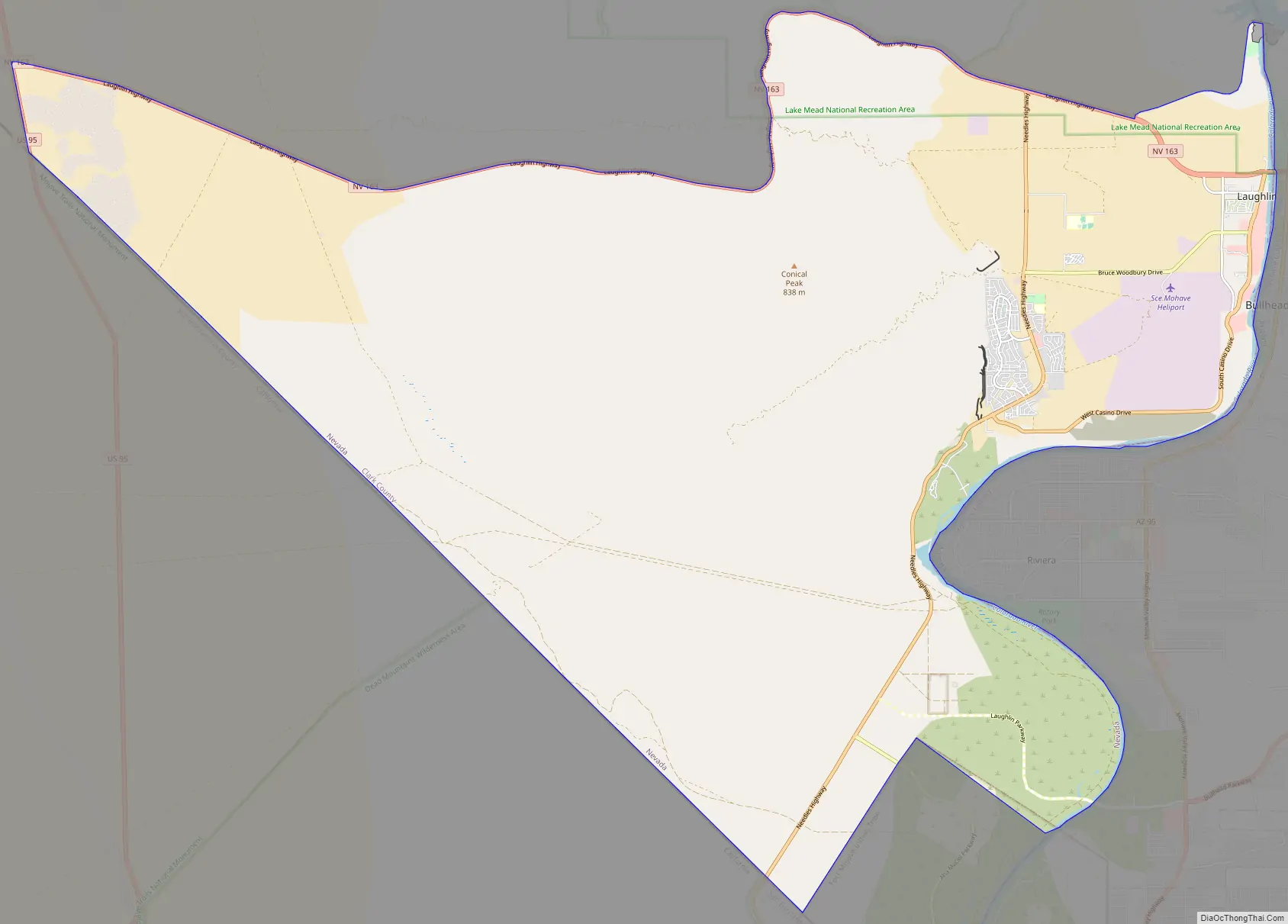
Online Interactive Map
Click on ![]() to view map in "full screen" mode.
to view map in "full screen" mode.
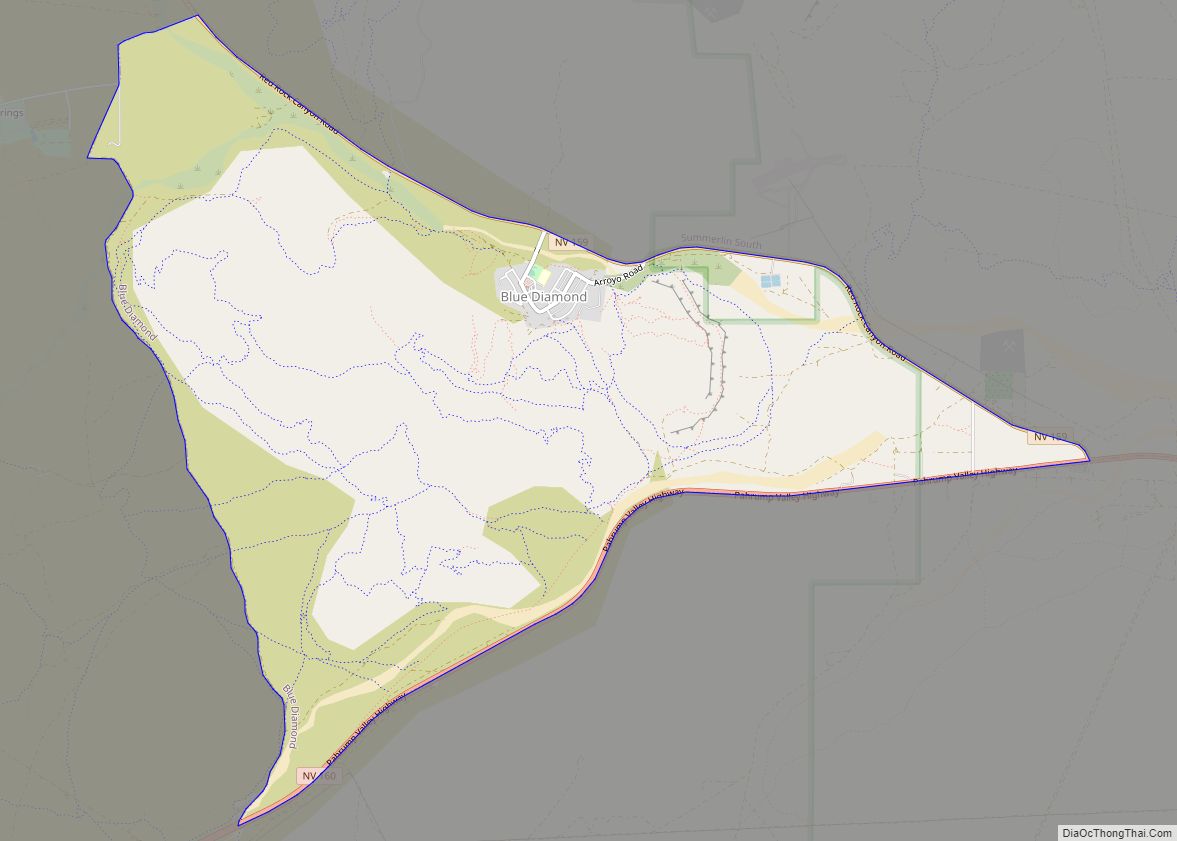
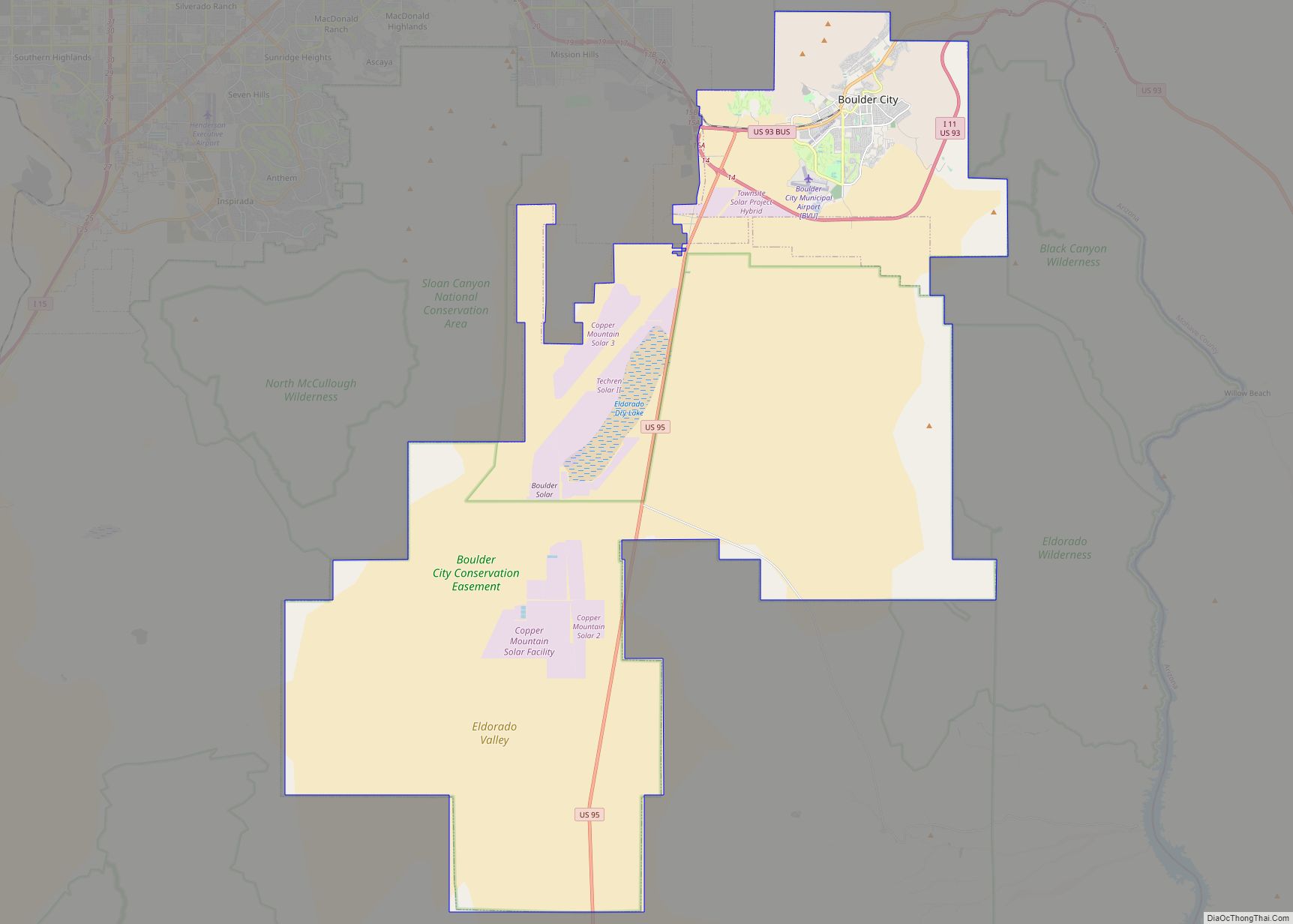
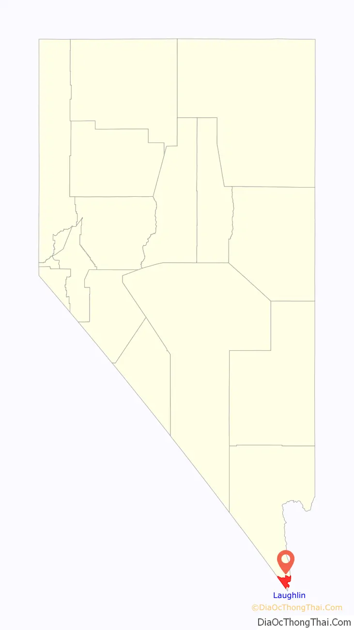
Laughlin location map. Where is Laughlin CDP?

History
The townsite of Laughlin was established in the 1940s as South Pointe because of the proximity to the southern tip of the state of Nevada. The early town consisted of a motel and bar that catered to gold and silver miners, construction workers building Davis Dam, and fishing enthusiasts. In the 1950s, construction workers left, and the town all but disappeared.
In 1964, Don Laughlin, owner of the 101 Club in Las Vegas, flew over the site and saw its tourism potential. He offered to buy the land, and within a few years, the Riverside Resort motel and casino, consisting of only 12 slots and two live tables, was bustling. A second casino, the Bobcat Club, opened in 1967, where the Golden Nugget Laughlin currently operates. In 1968, a third casino, the Monte Carlo, opened its doors. Across the river, Bullhead City, Arizona, sat in the glow of the casino light. Shuttle boats transported customers from the Arizona side of the river to Laughlin’s resorts and back. The southernmost tip of Nevada, along the Colorado River, where Nevada, California, and Arizona meet, was a major national tourist destination and gambling resort during the 70’s, 80’s & 90’s.
The 1980s saw the construction of several more hotels and casinos. The Colorado Hotel (now the Pioneer), The Regency, Sam’s Town Gold River (now the Laughlin River Lodge), and The Edgewater opened in the early 1980s. Other investors saw the growth as an opportunity to get in on the action. A second boom resulted in the construction of The Colorado Belle, Harrah’s Del Rio, and The Ramada Express (now The Tropicana Express). In 1987, Don Laughlin funded and built the Laughlin Bridge at a cost of $3.5 million. He donated the bridge to the states of Nevada and Arizona. The bridge carries 30,000 vehicles daily. In 1988, a megaresort called the Emerald Resort, that would have been the biggest in southern Nevada, was announced but its first tower was left unfinished due to the junk bond market’s collapse in 1990. Only the project’s golf course opened and it operated from 1991 to 2005. The Flamingo Hilton, now known as The Aquarius, was built in 1990.
The Mohave Power Station opened in 1971, but closed down on December 31, 2005.
Incorporation attempts
In 2012, some residents disapproving of Clark County politics made a push to incorporate Laughlin as a city in order stave off additional loss business opportunities, as well as gain local control. The proposal did not include Laughlin Casinos. When the proposal came to a vote in a referendum, the vote was 57 percent opposed to 43 percent in favor.
In 2019, Senate Bill 213 failed to pass the Nevada legislature’s Committee of Government Affairs, which would have made Laughlin a city without the consent of the voters. This would have given Laughlin representation on 9 of the 15 entities now providing services to the community
In 2021, Senate Bill 79 was introduced to allow for an election for incorporation in 2022. The Bill was sent to the Committee of Government Affairs where it failed to pass. Some local residents of the community also expressed concern that incorporation would make Laughlin unaffordable for senior citizens during the covid-19 pandemic. Others viewed it as an excuse to “raid” the Ft. Mohave Development Fund Senator Hardy, explained to community members in the March 9, 2021 meeting that the reason he introduced the bill was to provide better public safety services to a growing Laughlin. Currently, there are memorandums of understanding with Bullhead City, for fire protection in Laughlin
Laughlin Road Map
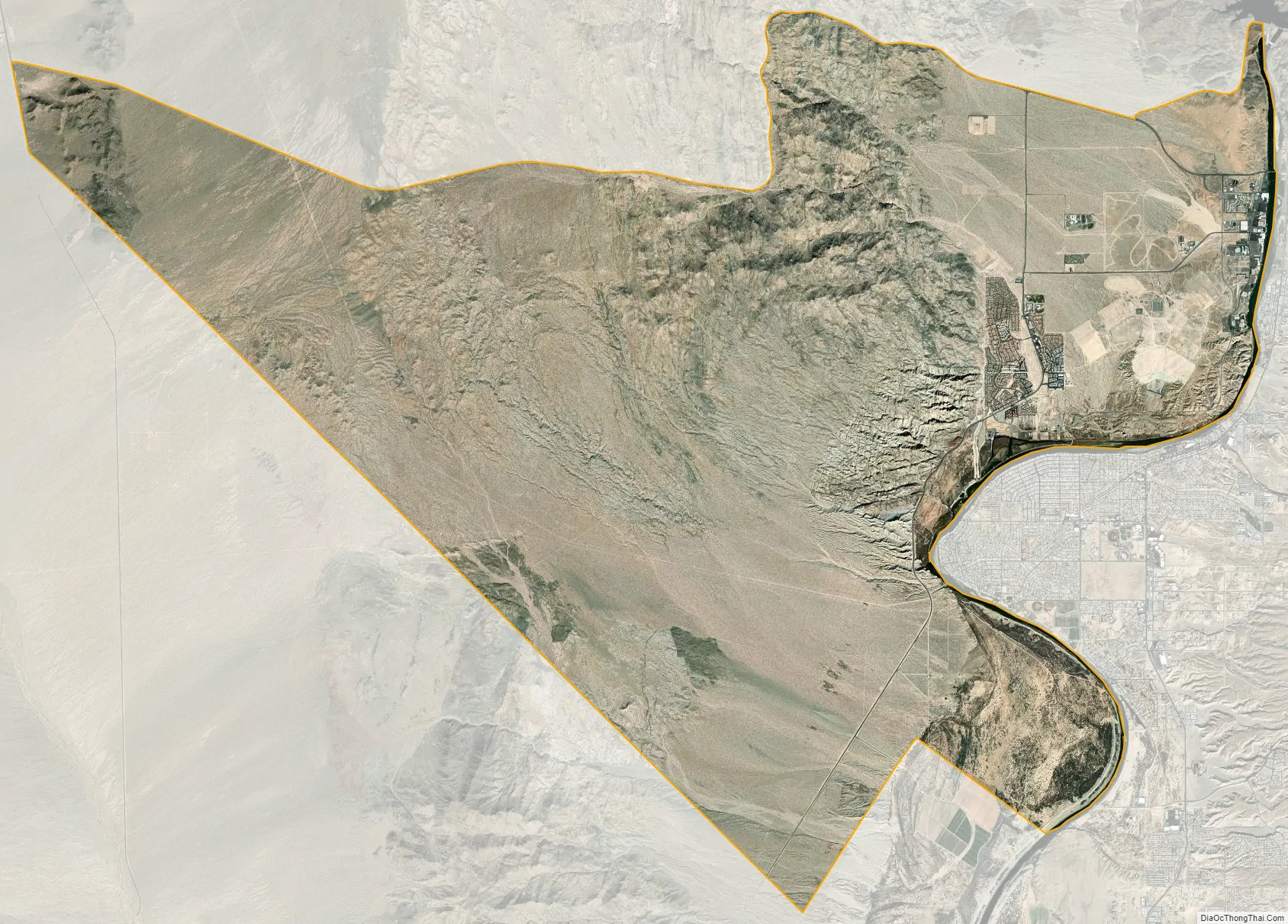
Laughlin city Satellite Map
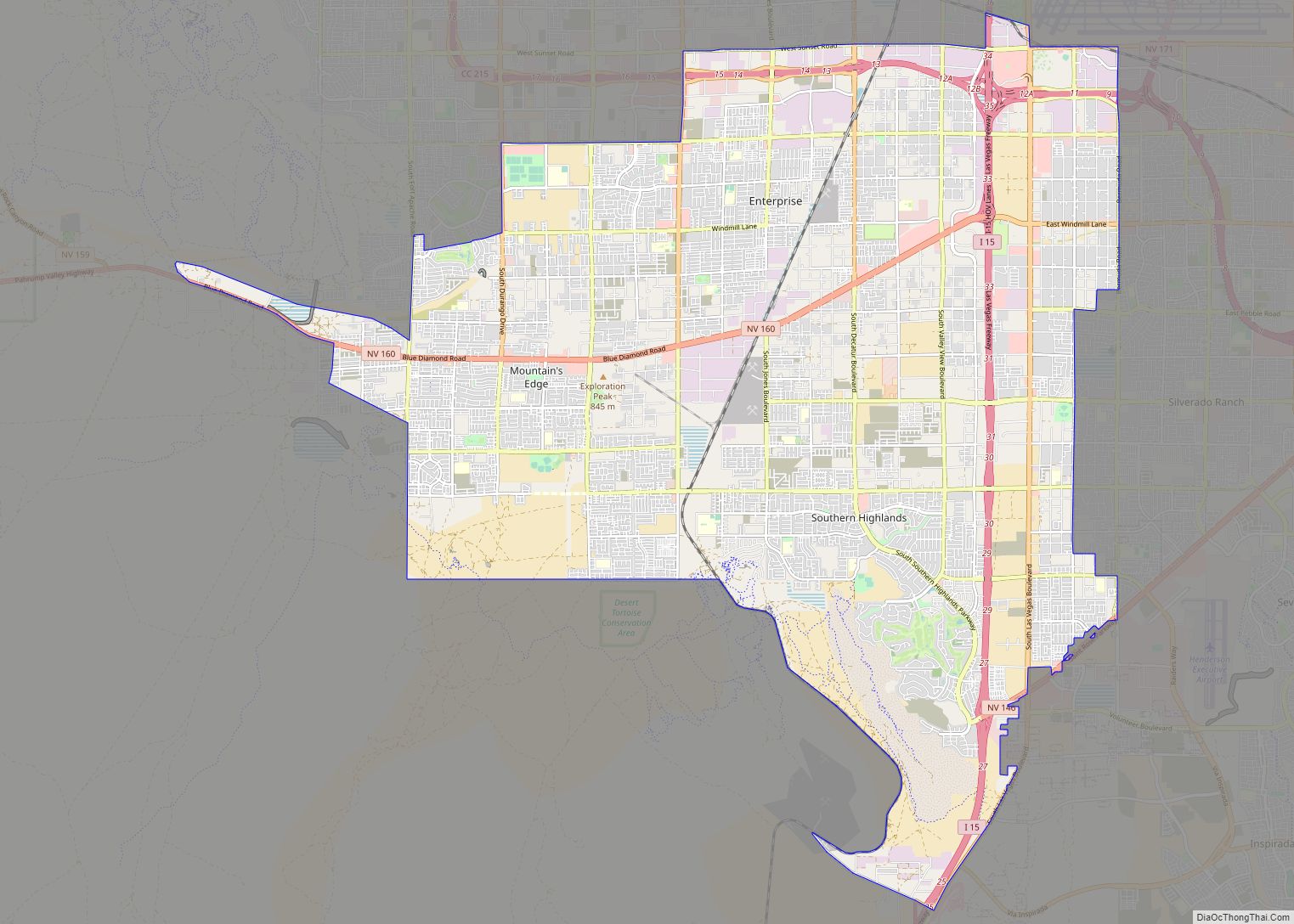
Geography
According to the United States Census Bureau, the census-designated place (CDP) of Laughlin (which may not coincide exactly with the town boundaries) has a total area of 89.3 square miles (231 km), of which 88.0 square miles (228 km) is land and 1.4 square miles (3.6 km) is water.
Laughlin is one of the lowest-lying communities in Nevada, situated just 558 feet (170 m) above sea level.
Climate
Laughlin has a hot desert climate (Köppen climate classification BWh), with under six inches of precipitation per year. Summers are extremely hot with days frequently exceeding 110 °F (43 °C) in July and August while over-night lows tend to stay between 76–86 °F (24–30 °C). The winters are mild with days typically seeing temperatures between 65–75 °F (18–24 °C) and corresponding over-night lows between 43–52 °F (6–11 °C). It is one of the United States’ hottest cities during the summer. Heat waves involving temperatures going over 120 °F (49 °C) are not unusual.
See also
Map of Nevada State and its subdivision: Map of other states:- Alabama
- Alaska
- Arizona
- Arkansas
- California
- Colorado
- Connecticut
- Delaware
- District of Columbia
- Florida
- Georgia
- Hawaii
- Idaho
- Illinois
- Indiana
- Iowa
- Kansas
- Kentucky
- Louisiana
- Maine
- Maryland
- Massachusetts
- Michigan
- Minnesota
- Mississippi
- Missouri
- Montana
- Nebraska
- Nevada
- New Hampshire
- New Jersey
- New Mexico
- New York
- North Carolina
- North Dakota
- Ohio
- Oklahoma
- Oregon
- Pennsylvania
- Rhode Island
- South Carolina
- South Dakota
- Tennessee
- Texas
- Utah
- Vermont
- Virginia
- Washington
- West Virginia
- Wisconsin
- Wyoming