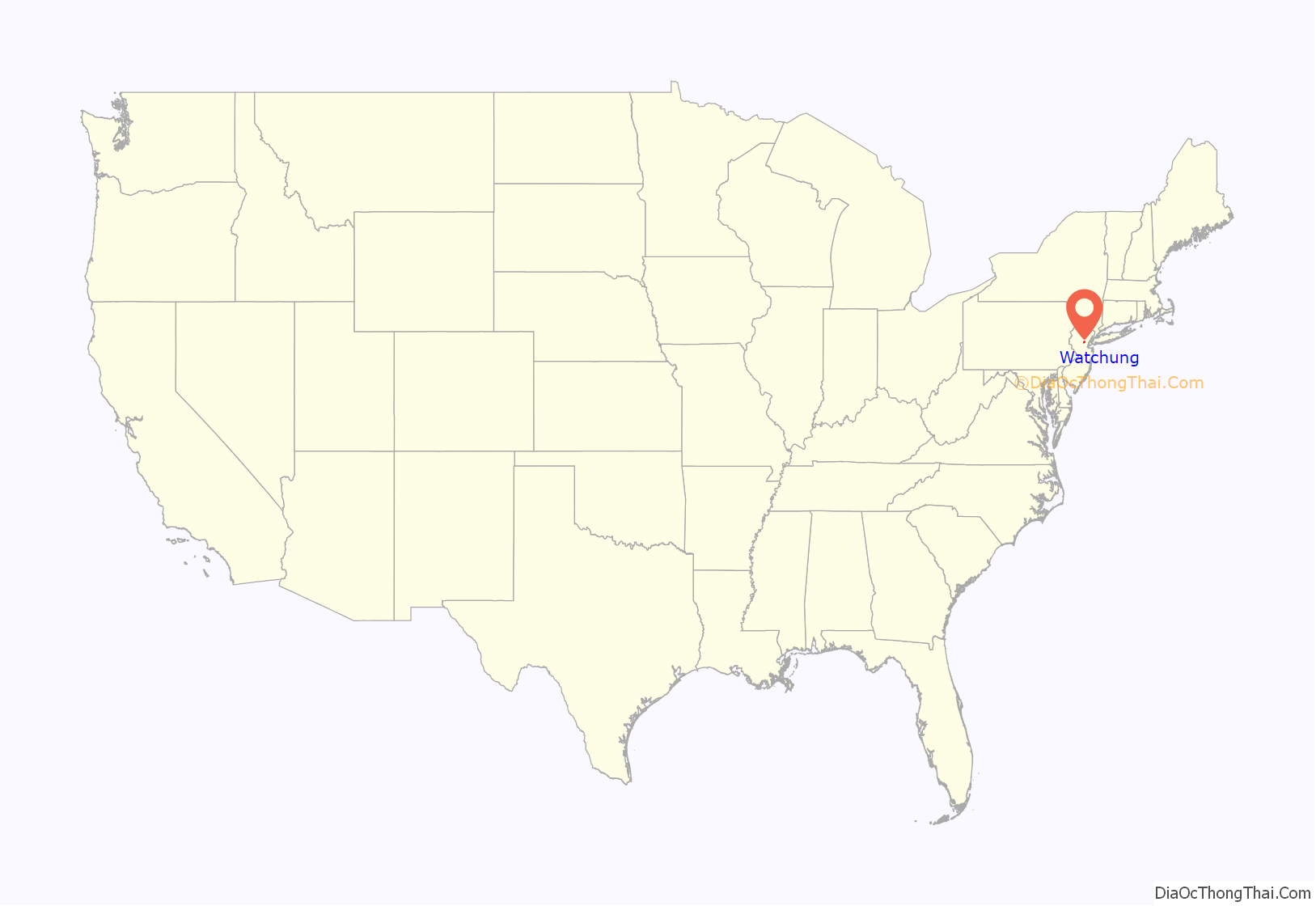
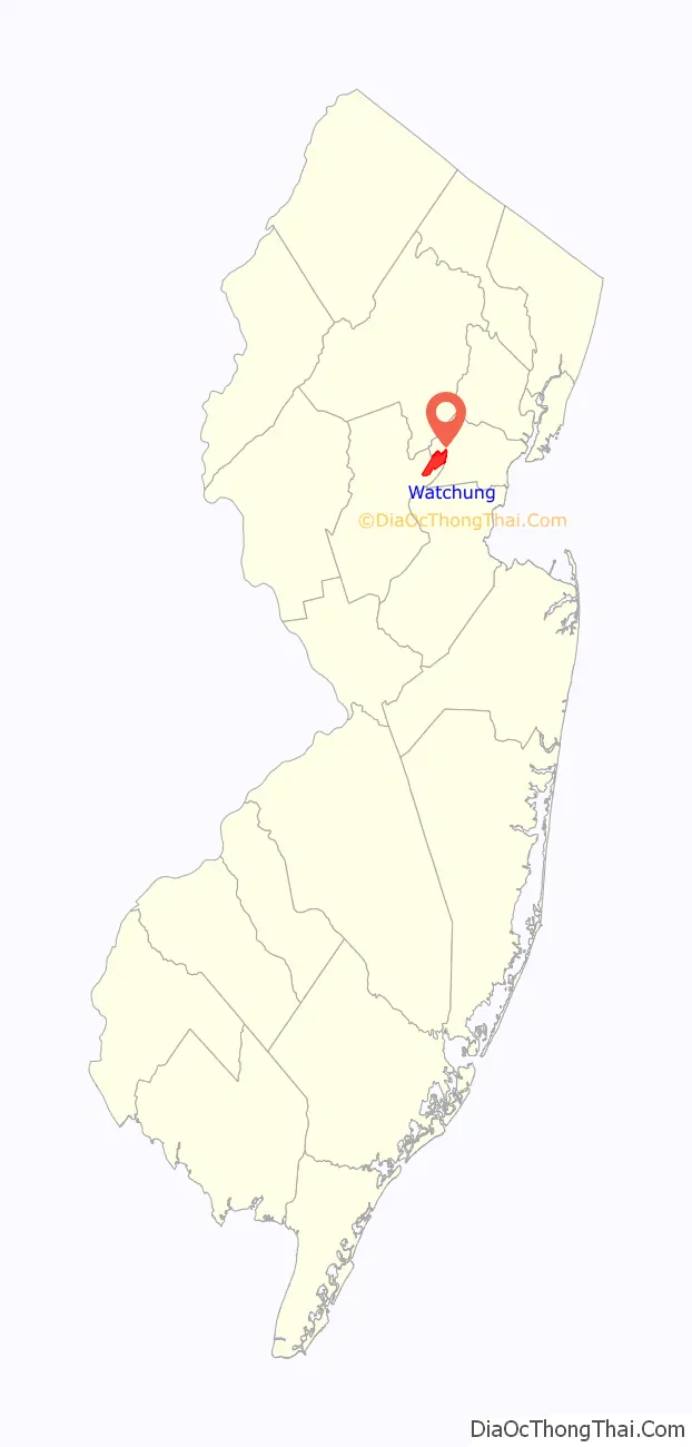
Watchung (/wɑːˈtʃʌŋ/) is a borough in Somerset County, in the U.S. state of New Jersey, located approximately 29 miles (47 km) west of New York City. As of the 2020 United States census, the borough’s population was 6,449, an increase of 648 (+11.2%) from the 2010 census count of 5,801, which in turn reflected an increase of 188 (+3.3%) from the 5,613 counted in the 2000 census. It is located within the Raritan Valley region.
Watchung was incorporated as a borough by an act of the New Jersey Legislature on May 23, 1926, from portions of North Plainfield Township (now Green Brook Township) based on the results of a referendum held on April 20, 1926. The name “Watchung” comes from the Lenni Lenape Native Americans, meaning “high hills” or from “watschu,” meaning “hill.”
In 2012, Forbes.com listed Watchung as 384th in its listing of “America’s Most Expensive ZIP Codes”, with a median home price of $767,507.
The borough is one of the state’s highest-income communities. Based on data from the American Community Survey (ACS) for 2014–2018, Watchung residents had a median household income of $153,341, almost double the statewide median of $79,363.
| Name: | Watchung borough |
|---|---|
| LSAD Code: | 21 |
| LSAD Description: | borough (suffix) |
| State: | New Jersey |
| County: | Somerset County |
| Incorporated: | April 20, 1926 |
| Elevation: | 259 ft (79 m) |
| Total Area: | 6.04 sq mi (15.65 km²) |
| Land Area: | 6.02 sq mi (15.58 km²) |
| Water Area: | 0.03 sq mi (0.07 km²) 0.46% |
| Total Population: | 6,449 |
| Population Density: | 1,072.0/sq mi (413.9/km²) |
| ZIP code: | 07069 |
| Area code: | 908 |
| FIPS code: | 3477600 |
| GNISfeature ID: | 0885433 |
| Website: | www.watchungnj.gov |
Online Interactive Map
Click on ![]() to view map in "full screen" mode.
to view map in "full screen" mode.
Watchung location map. Where is Watchung borough?
History
George Washington surveyed the British troops in Perth Amboy, 20 miles away, from the first ridge of the Watchung Mountains. The eastern edge of these ridges reaches to the Oranges in the direction of Newark. The name “Washingtonville” was used in early times, but was rejected as the name for the area by the United States Postal Service, which felt that the state already had too many places named Washington.
Watchung, in the 1900s was a semi-rural small community of about 3,200 people in comparison with the relatively larger and more urban communities of Plainfield and Somerville. The first mayor of the town was Henry Baldwin Macdonald, who served from 1926 to 1928. The 1967 Plainfield riots, caused an exodus of the large upper-middle class population from the nearby cities to the Watchung Hills area to communities such as Watchung, Warren Township and Bridgewater Township.
Watchung was incorporated as a borough by an act of the New Jersey Legislature on May 23, 1926, from portions of North Plainfield Township (now Green Brook Township) based on the results of a referendum held on April 20, 1926.
In the wake of public fear that ensued after the 1938 radio broadcast of Orson Welles’ The War of the Worlds, National Guard troops were stationed around the hills in Watchung, as told on the vinyl record recording of news reports of the day.
Notable figures who have lived in Watchung include Bobby Thomson, Billy Ard and Carl Banks.
Historic places
Eaton House is a Watchung historic site that was owned by congressman Charles Aubrey Eaton and has been the residence of other notables over the years. Known also as the Sunbright Farm farmhouse, the home was damaged in April 2014 when it was hit by trees that fell as a result of a likely microburst in a severe storm that rolled through the area.
The borough is home to Watchung Valley Golf Club, which moved from its original nine-hole course in North Plainfield to its current location on Mountain Boulevard in 1927. The club was known as the Twin Brooks Country Club from 1933 to 2017, when it re-adopted its name as Watchung Valley Country Club, which was in use from 1928 to 1933.
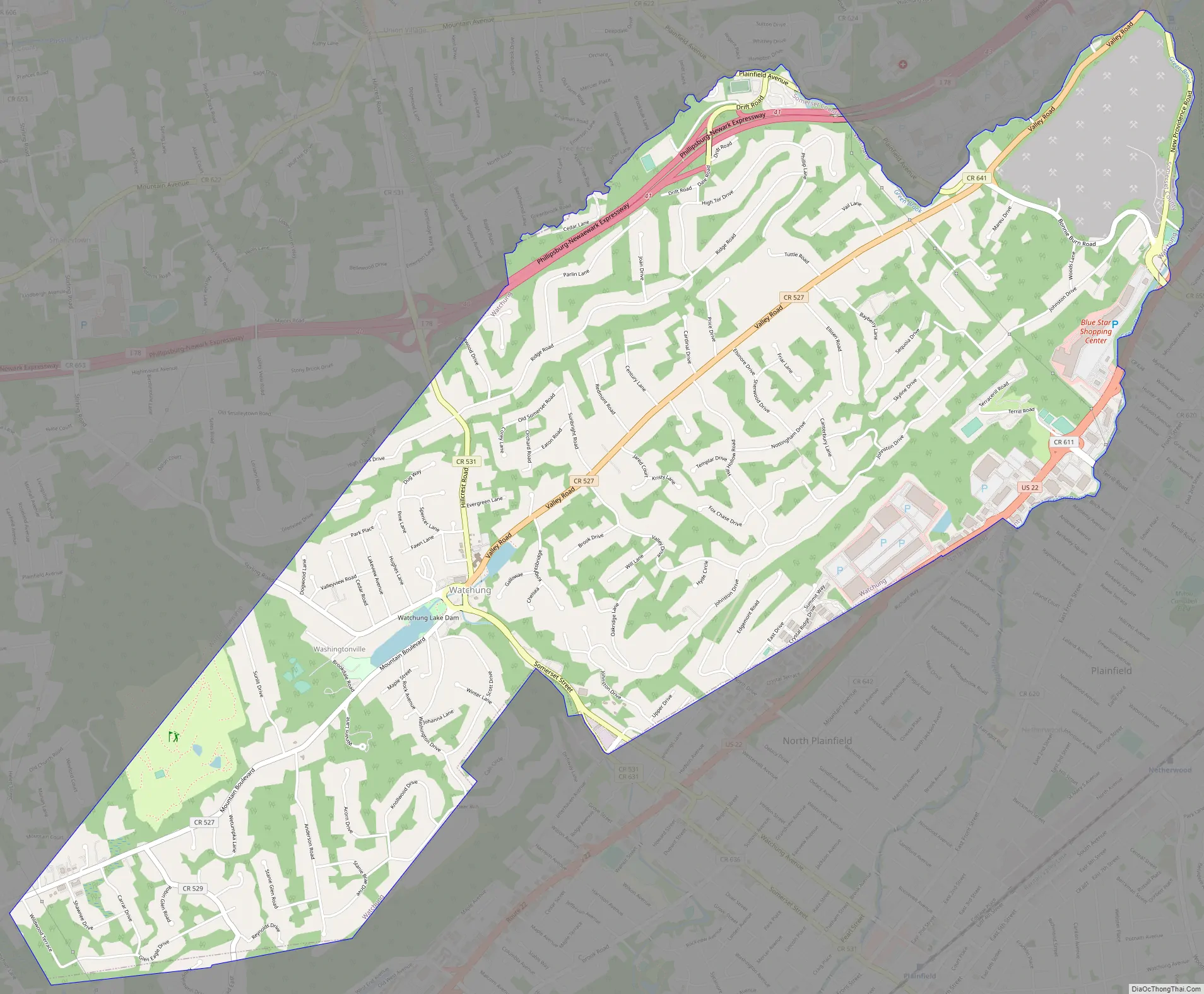
Watchung Road Map
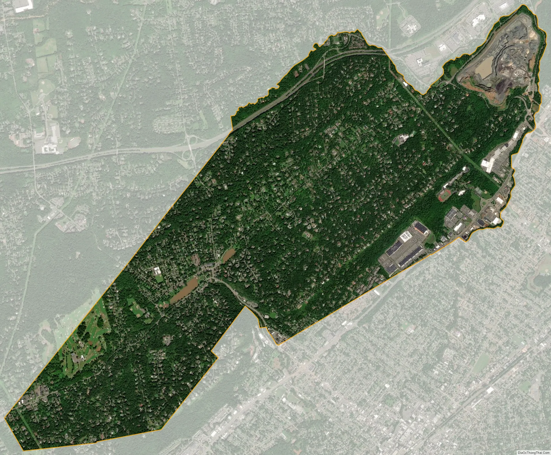
Watchung city Satellite Map
Geography
According to the United States Census Bureau, the borough had a total area of 6.04 square miles (15.65 km), including 6.02 square miles (15.58 km) of land and 0.03 square miles (0.07 km) of water (0.46%).
Unincorporated communities, localities and place names located partially or completely within the borough include Washingtonville.
The borough borders Green Brook Township, North Plainfield and Warren Township in Somerset County; and Berkeley Heights, Plainfield, and Scotch Plains in Union County.
The Stony Brook flows through Watchung borough, making its way from Warren Township to the Watchung Lake, then through the gorge in the first Watchung mountain and over the Wetumpka Falls, on its way to the Green Brook.
The borough is roughly a 40-minute drive from New York City and a 20-minute drive from Newark.
See also
Map of New Jersey State and its subdivision: Map of other states:- Alabama
- Alaska
- Arizona
- Arkansas
- California
- Colorado
- Connecticut
- Delaware
- District of Columbia
- Florida
- Georgia
- Hawaii
- Idaho
- Illinois
- Indiana
- Iowa
- Kansas
- Kentucky
- Louisiana
- Maine
- Maryland
- Massachusetts
- Michigan
- Minnesota
- Mississippi
- Missouri
- Montana
- Nebraska
- Nevada
- New Hampshire
- New Jersey
- New Mexico
- New York
- North Carolina
- North Dakota
- Ohio
- Oklahoma
- Oregon
- Pennsylvania
- Rhode Island
- South Carolina
- South Dakota
- Tennessee
- Texas
- Utah
- Vermont
- Virginia
- Washington
- West Virginia
- Wisconsin
- Wyoming


