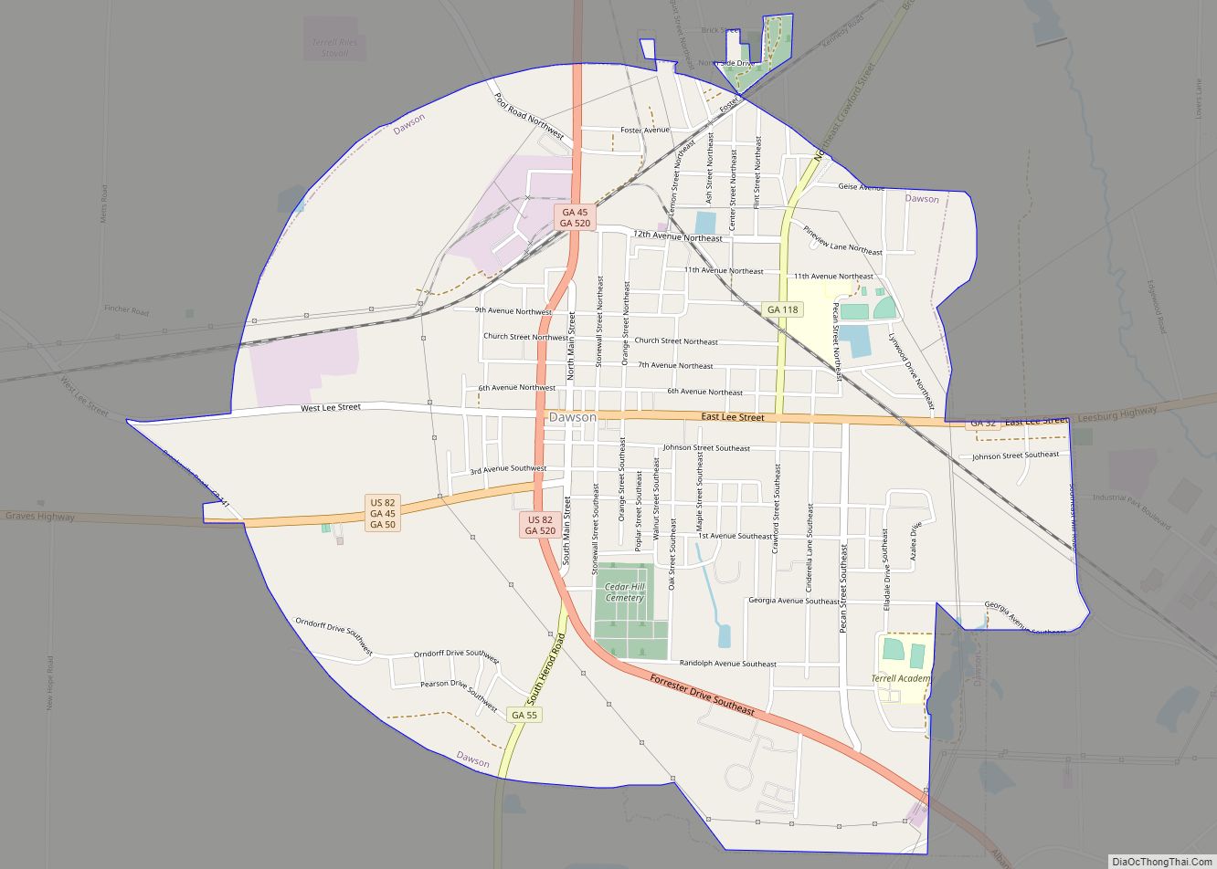
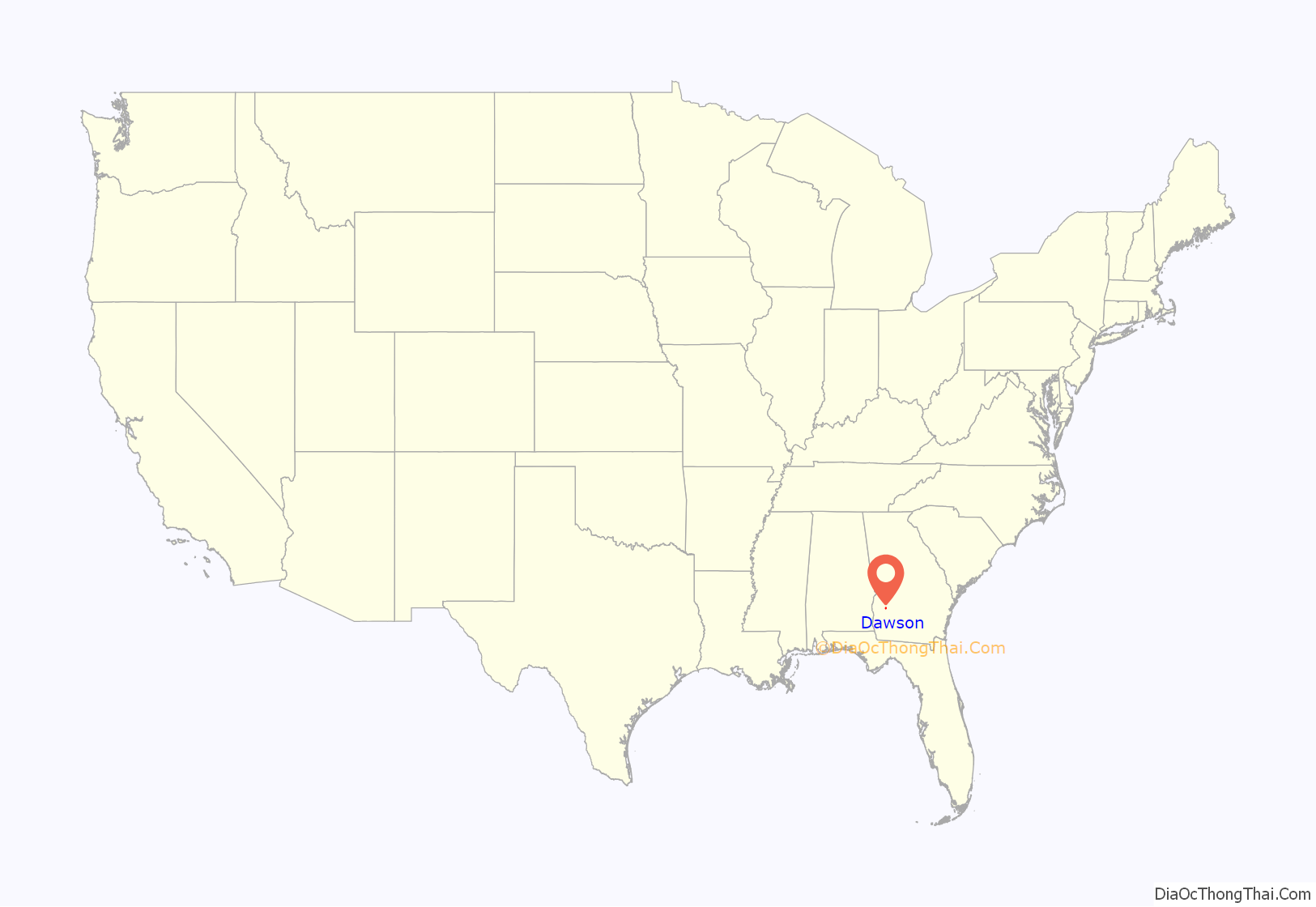
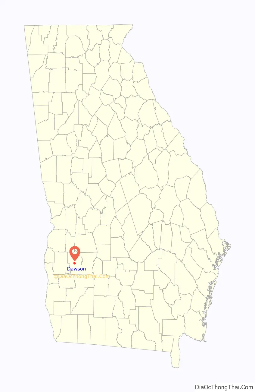
Dawson is a city in and the county seat of Terrell County, Georgia, United States. The population was 4,414 at the 2020 census. Incorporated on December 22, 1857, the city is named for Senator William Crosby Dawson.
Dawson is part of the Albany, Georgia Metropolitan Statistical Area.
| Name: | Dawson city |
|---|---|
| LSAD Code: | 25 |
| LSAD Description: | city (suffix) |
| State: | Georgia |
| County: | Terrell County |
| Elevation: | 351 ft (107 m) |
| Total Area: | 3.75 sq mi (9.72 km²) |
| Land Area: | 3.75 sq mi (9.72 km²) |
| Water Area: | 0.00 sq mi (0.00 km²) |
| Total Population: | 4,414 |
| Population Density: | 1,176.44/sq mi (454.25/km²) |
| ZIP code: | 39842 |
| Area code: | 229 |
| FIPS code: | 1321912 |
| GNISfeature ID: | 0313367 |
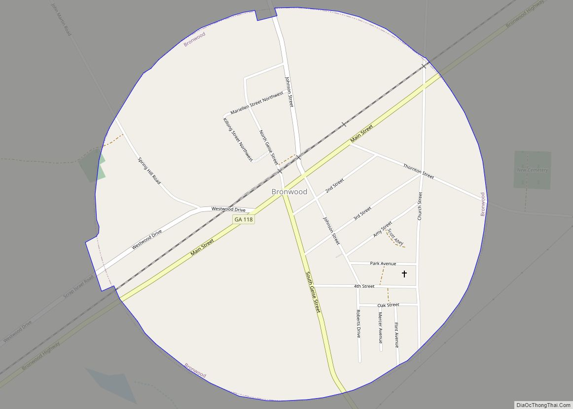
Online Interactive Map
Click on ![]() to view map in "full screen" mode.
to view map in "full screen" mode.
Dawson location map. Where is Dawson city?
History
Dawson was founded in 1856 as seat of the newly formed Terrell County. It was incorporated as a town in 1857 and as a city in 1872. Terrell was an important site in the 1960s, when the county in which it is located was labeled “Terrible Terrell” by the SNCC. Jackie Robinson helped raise money to rebuild three black churches that were burned in the area.
In 1976, five African-American youths were charged with the murder of a white customer in a roadside convenience store. The crime and pretrial proceedings garnered national attention. The five young men, one of whom was a juvenile, charged in the case were known as “The Dawson Five”. The court dropped the charges against the group of five; Roosevelt Watson, Henderson Watson, J.D. Davenport, Johnnie B. Jackson, and George Poor, when it found evidence of police misconduct, including coerced confessions, intimidation and improper identification procedures.
Dawson Road Map
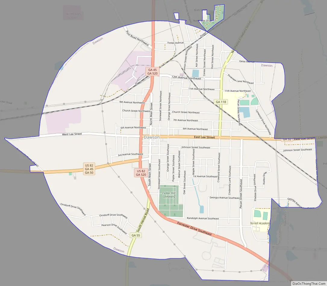
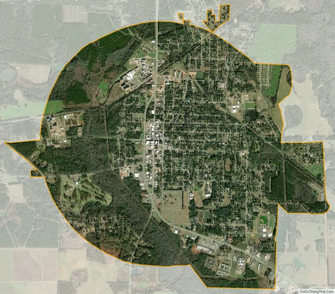
Dawson city Satellite Map
Geography
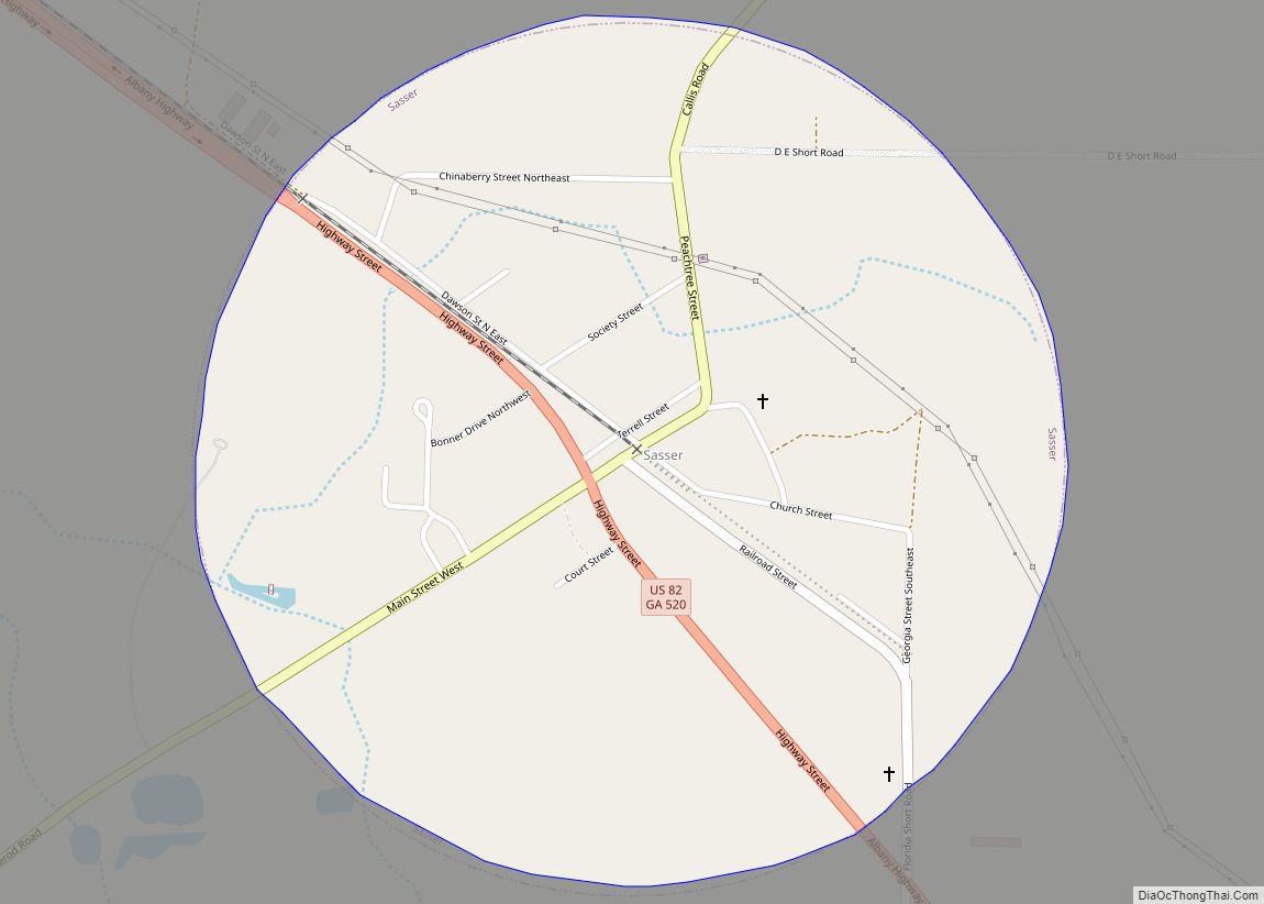
Dawson is located in Southwest Georgia along U.S. Route 82 and Georgia State Route 520 (Columbus Highway), which leads southeast 8 mi (13 km) to Sasser and northwest 9 mi (14 km) to Parrott. U.S. 82 leads west 21 mi (34 km) to Cuthbert and 47 mi (76 km) to Eufaula, Alabama. Albany is 24 mi (39 km) southeast and Columbus is 63 mi (101 km) northwest.
The city is located at 31°46′26″N 84°26′27″W / 31.77389°N 84.44083°W / 31.77389; -84.44083 (31.773969, -84.440870).
According to the United States Census Bureau, the city has a total area of 3.7 square miles (9.6 km), all land.
See also
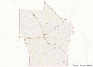
Map of Georgia State and its subdivision:- Appling
- Atkinson
- Bacon
- Baker
- Baldwin
- Banks
- Barrow
- Bartow
- Ben Hill
- Berrien
- Bibb
- Bleckley
- Brantley
- Brooks
- Bryan
- Bulloch
- Burke
- Butts
- Calhoun
- Camden
- Candler
- Carroll
- Catoosa
- Charlton
- Chatham
- Chattahoochee
- Chattooga
- Cherokee
- Clarke
- Clay
- Clayton
- Clinch
- Cobb
- Coffee
- Colquitt
- Columbia
- Cook
- Coweta
- Crawford
- Crisp
- Dade
- Dawson
- Decatur
- DeKalb
- Dodge
- Dooly
- Dougherty
- Douglas
- Early
- Echols
- Effingham
- Elbert
- Emanuel
- Evans
- Fannin
- Fayette
- Floyd
- Forsyth
- Franklin
- Fulton
- Gilmer
- Glascock
- Glynn
- Gordon
- Grady
- Greene
- Gwinnett
- Habersham
- Hall
- Hancock
- Haralson
- Harris
- Hart
- Heard
- Henry
- Houston
- Irwin
- Jackson
- Jasper
- Jeff Davis
- Jefferson
- Jenkins
- Johnson
- Jones
- Lamar
- Lanier
- Laurens
- Lee
- Liberty
- Lincoln
- Long
- Lowndes
- Lumpkin
- Macon
- Madison
- Marion
- McDuffie
- McIntosh
- Meriwether
- Miller
- Mitchell
- Monroe
- Montgomery
- Morgan
- Murray
- Muscogee
- Newton
- Oconee
- Oglethorpe
- Paulding
- Peach
- Pickens
- Pierce
- Pike
- Polk
- Pulaski
- Putnam
- Quitman
- Rabun
- Randolph
- Richmond
- Rockdale
- Schley
- Screven
- Seminole
- Spalding
- Stephens
- Stewart
- Sumter
- Talbot
- Taliaferro
- Tattnall
- Taylor
- Telfair
- Terrell
- Thomas
- Tift
- Toombs
- Towns
- Treutlen
- Troup
- Turner
- Twiggs
- Union
- Upson
- Walker
- Walton
- Ware
- Warren
- Washington
- Wayne
- Webster
- Wheeler
- White
- Whitfield
- Wilcox
- Wilkes
- Wilkinson
- Worth
- Alabama
- Alaska
- Arizona
- Arkansas
- California
- Colorado
- Connecticut
- Delaware
- District of Columbia
- Florida
- Georgia
- Hawaii
- Idaho
- Illinois
- Indiana
- Iowa
- Kansas
- Kentucky
- Louisiana
- Maine
- Maryland
- Massachusetts
- Michigan
- Minnesota
- Mississippi
- Missouri
- Montana
- Nebraska
- Nevada
- New Hampshire
- New Jersey
- New Mexico
- New York
- North Carolina
- North Dakota
- Ohio
- Oklahoma
- Oregon
- Pennsylvania
- Rhode Island
- South Carolina
- South Dakota
- Tennessee
- Texas
- Utah
- Vermont
- Virginia
- Washington
- West Virginia
- Wisconsin
- Wyoming