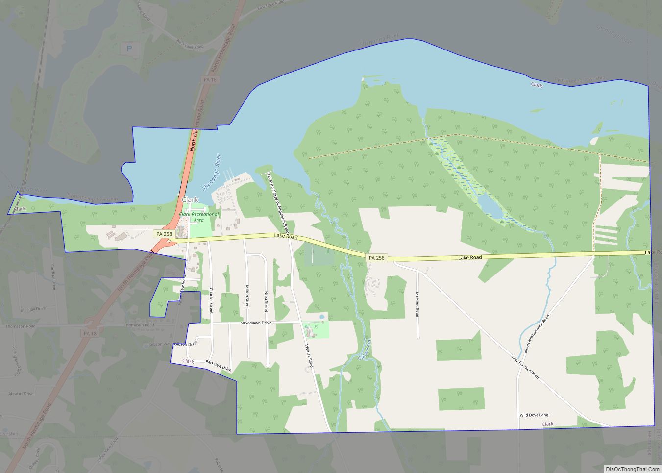
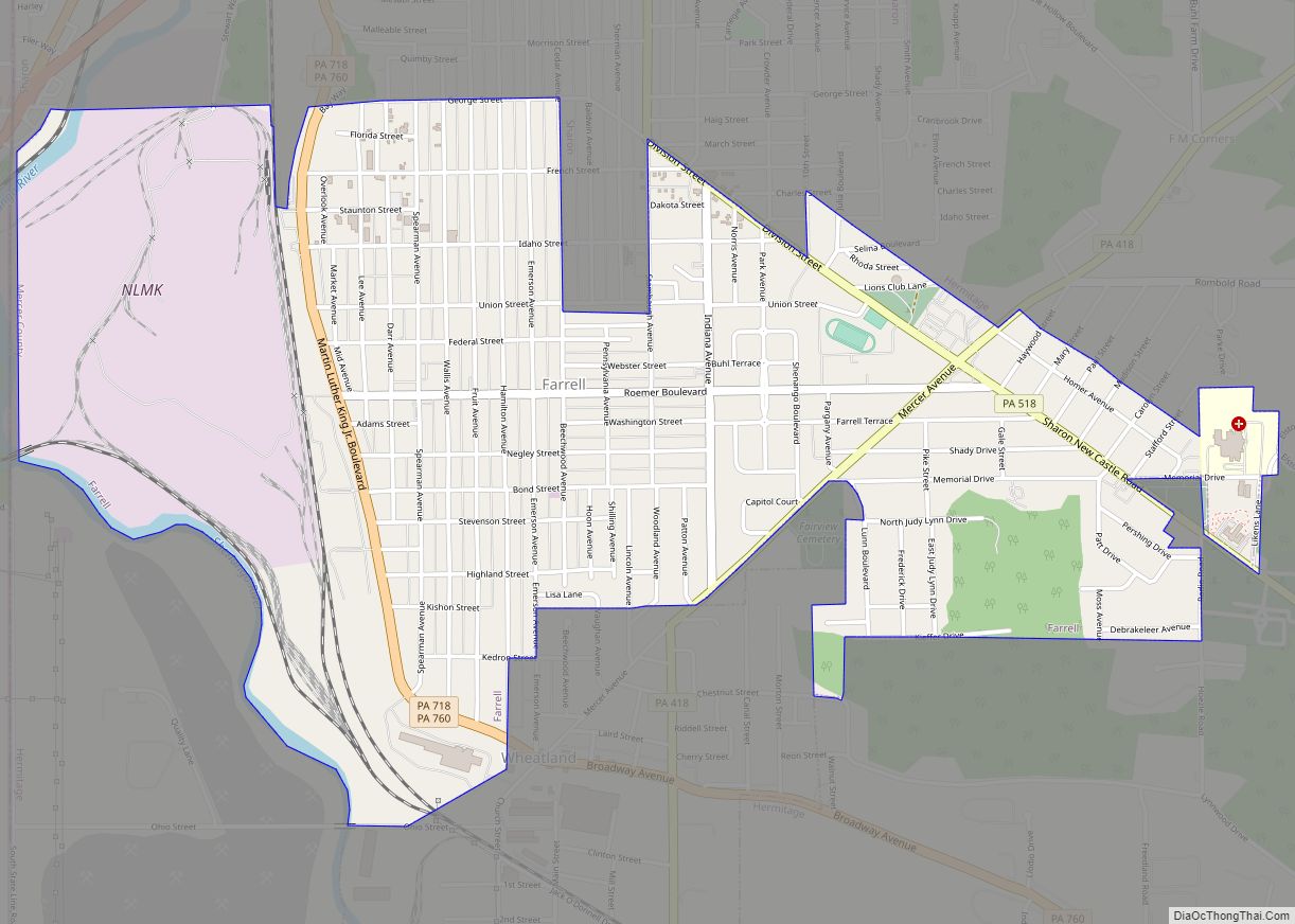
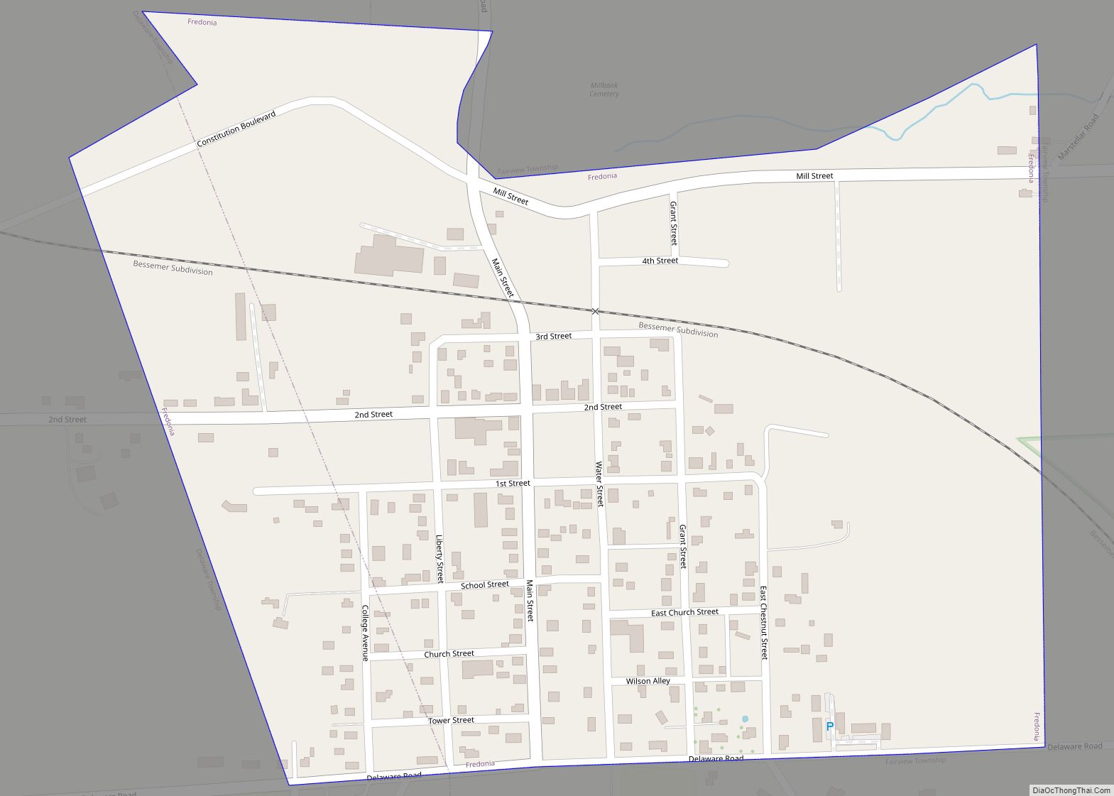
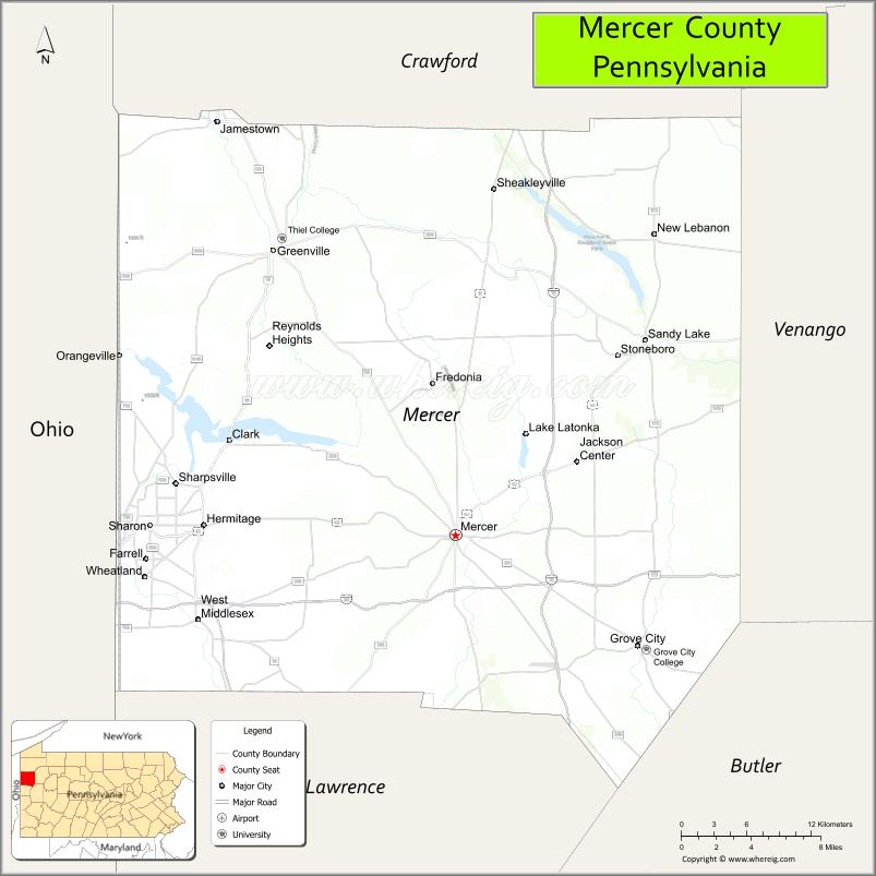
Mercer County is a county in the Commonwealth of Pennsylvania. As of the 2020 census, the population was 110,652. Its county seat is Mercer, and its largest city is Hermitage. The county was created in 1800 and later organized in 1803.
Mercer County is included in the Youngstown-Warren-Boardman, OH-PA Metropolitan Statistical Area.
| Name: | Mercer County |
|---|---|
| FIPS code: | 42-085 |
| State: | Pennsylvania |
| Founded: | November 7, 1803 |
| Named for: | Hugh Mercer |
| Seat: | Mercer |
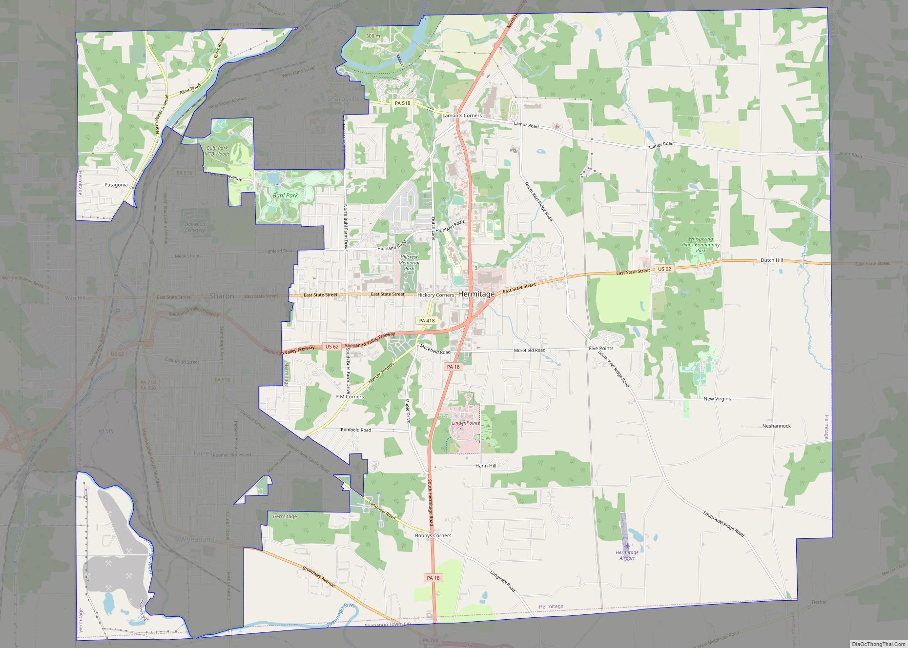
| Largest city: | Hermitage |
| Total Area: | 683 sq mi (1,770 km²) |
| Land Area: | 673 sq mi (1,740 km²) |
| Total Population: | 110,652 |
| Population Density: | 162/sq mi (63/km²) |
| Time zone: | UTC−5 (Eastern) |
| Summer Time Zone (DST): | UTC−4 (EDT) |
| Website: | www.mcc.co.mercer.pa.us |
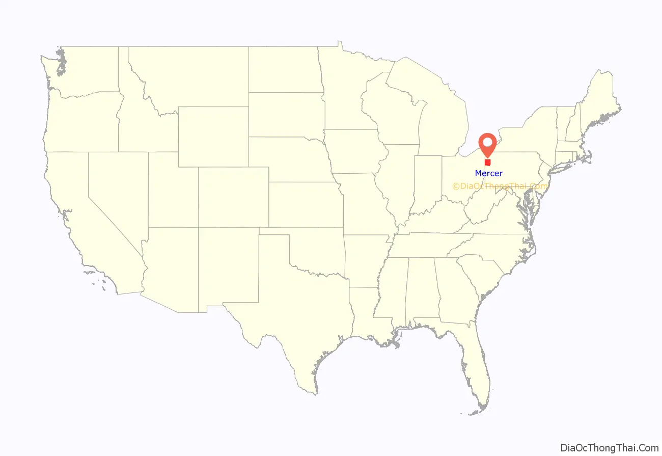
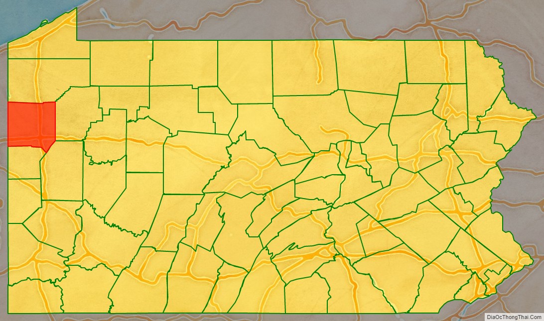
Mercer County location map. Where is Mercer County?
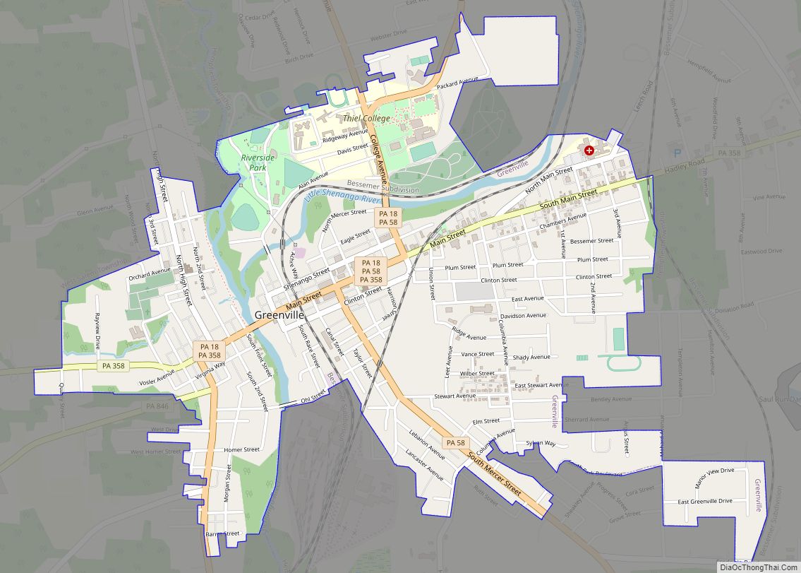
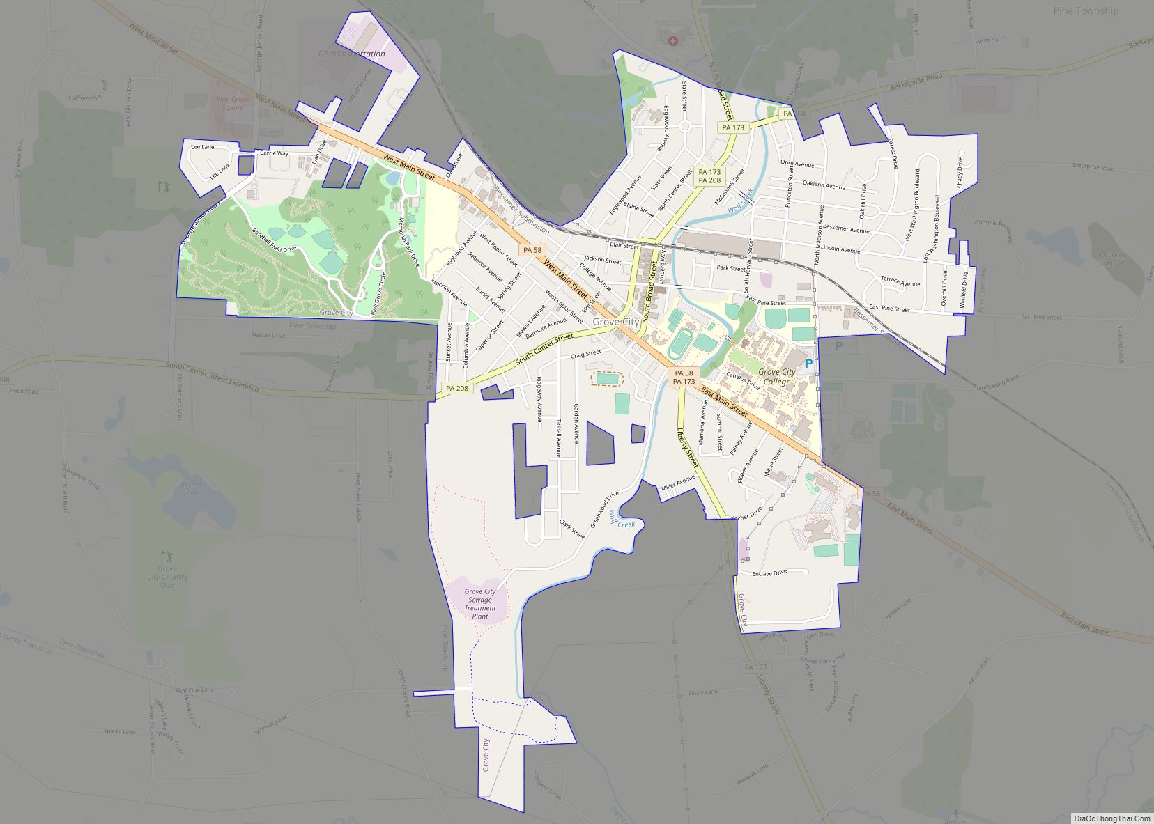
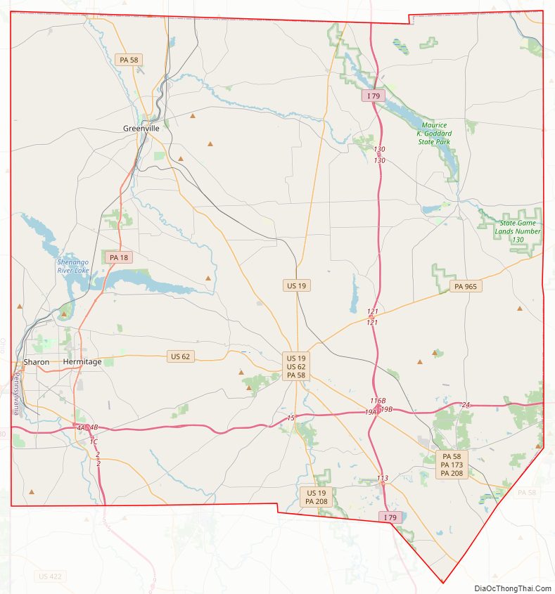
Mercer County Road Map
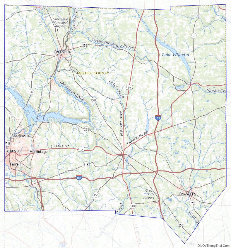
Geography
According to the U.S. Census Bureau, the county has a total area of 683 square miles (1,770 km), of which 673 square miles (1,740 km) is land and 10 square miles (26 km) (1.5%) is water. It has a humid continental climate (Dfa/Dfb) and average monthly temperatures in Sharon range from 27.1 °F in January to 72.2 °F in July, while in Mercer borough they range from 25.4 °F in January to 70.1 °F in July. [2]
Adjacent counties
- Crawford County (north)
- Venango County (east)
- Butler County (southeast)
- Lawrence County (south)
- Mahoning County, Ohio (southwest)
- Trumbull County, Ohio (west)
Major highways
- I-79
- I-80
- I-376
- US 19
- US 62
- US 322
- PA 18
- PA 58
- PA 158
- PA 173
- PA 208
- PA 258
- PA 318
- PA 358
- PA 418
- PA 518
- PA 718
- PA 760
- PA 846
- PA 965
Mercer County Topographic Map
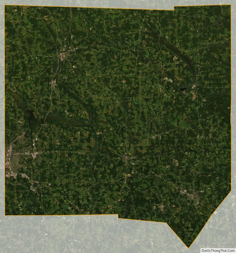
Mercer County Satellite Map
Mercer County Outline Map