Tyler County is a county located in the U.S. state of Texas. It is in East Texas and its seat is Woodville.
As of the 2020 census, its population was 19,798.
Tyler County is named for John Tyler, the 10th President of the United States. Despite its name, Tyler County does not contain the city of Tyler, Texas; the latter is located about 140 miles to the north in Smith County.
| Name: | Tyler County |
|---|---|
| FIPS code: | 48-457 |
| State: | Texas |
| Founded: | 1846 |
| Named for: | John Tyler |
| Seat: | Woodville |
| Largest town: | Woodville |
| Total Area: | 936 sq mi (2,420 km²) |
| Land Area: | 925 sq mi (2,400 km²) |
| Total Population: | 19,798 |
| Population Density: | 21/sq mi (8.2/km²) |
| Time zone: | UTC−6 (Central) |
| Summer Time Zone (DST): | UTC−5 (CDT) |
| Website: | www.co.tyler.tx.us |
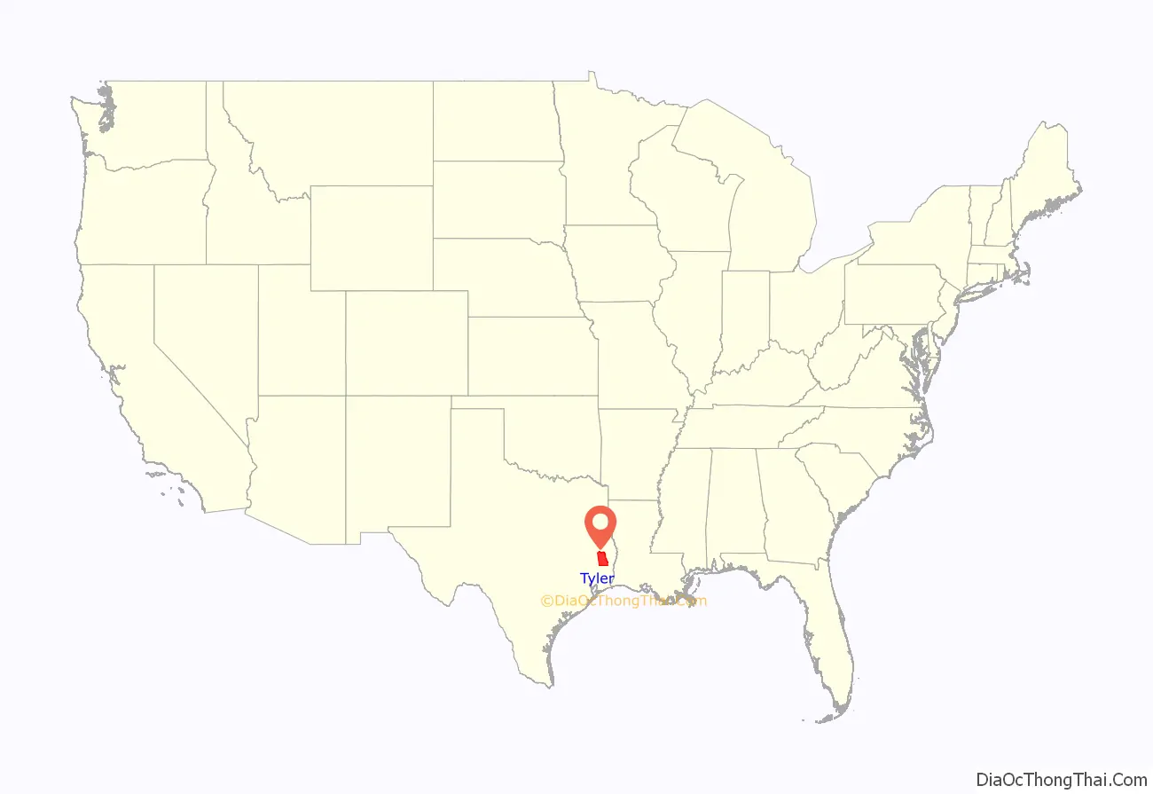
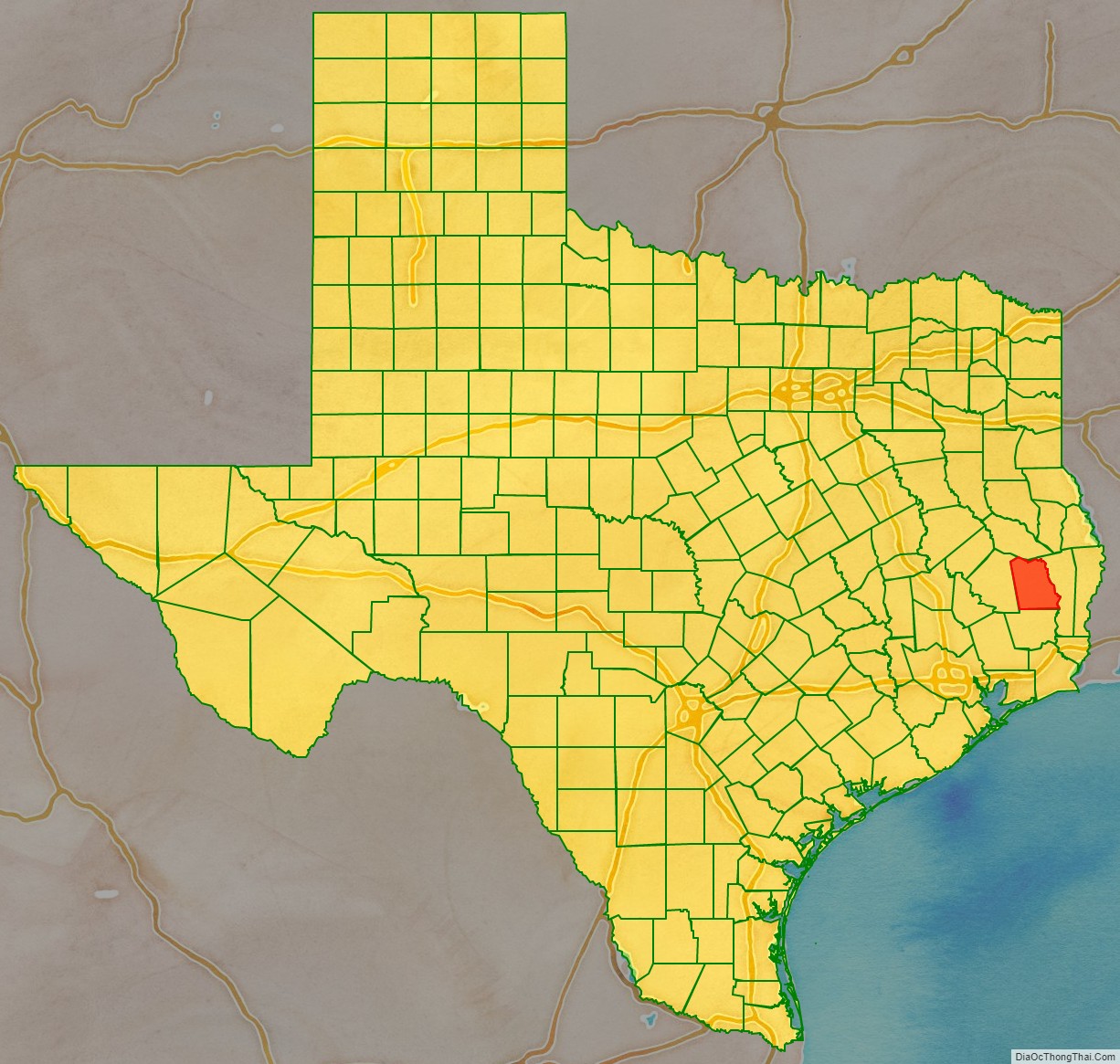
Tyler County location map. Where is Tyler County?
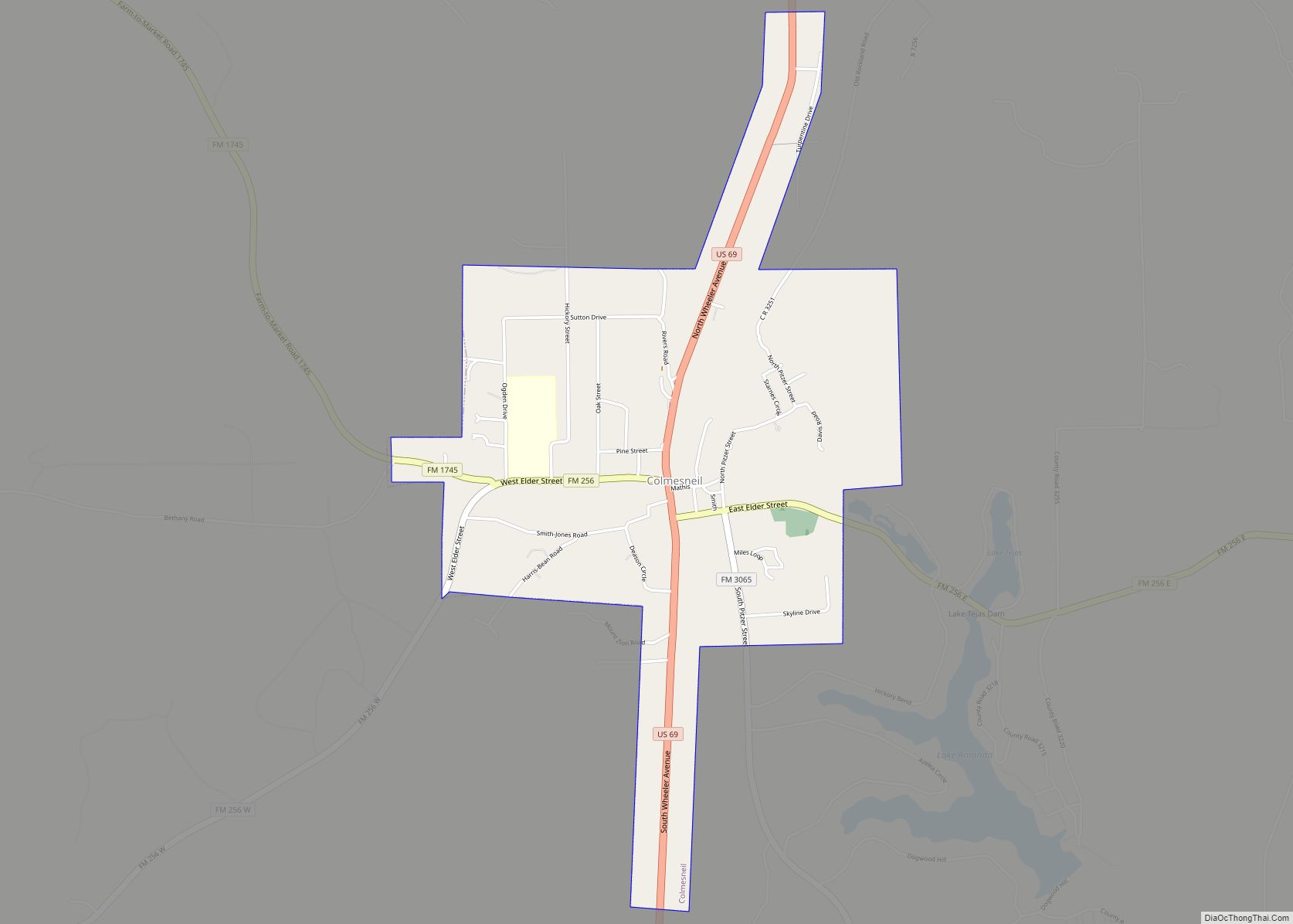
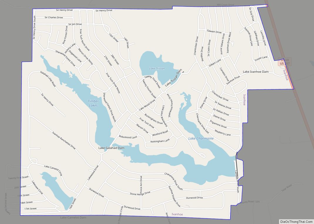
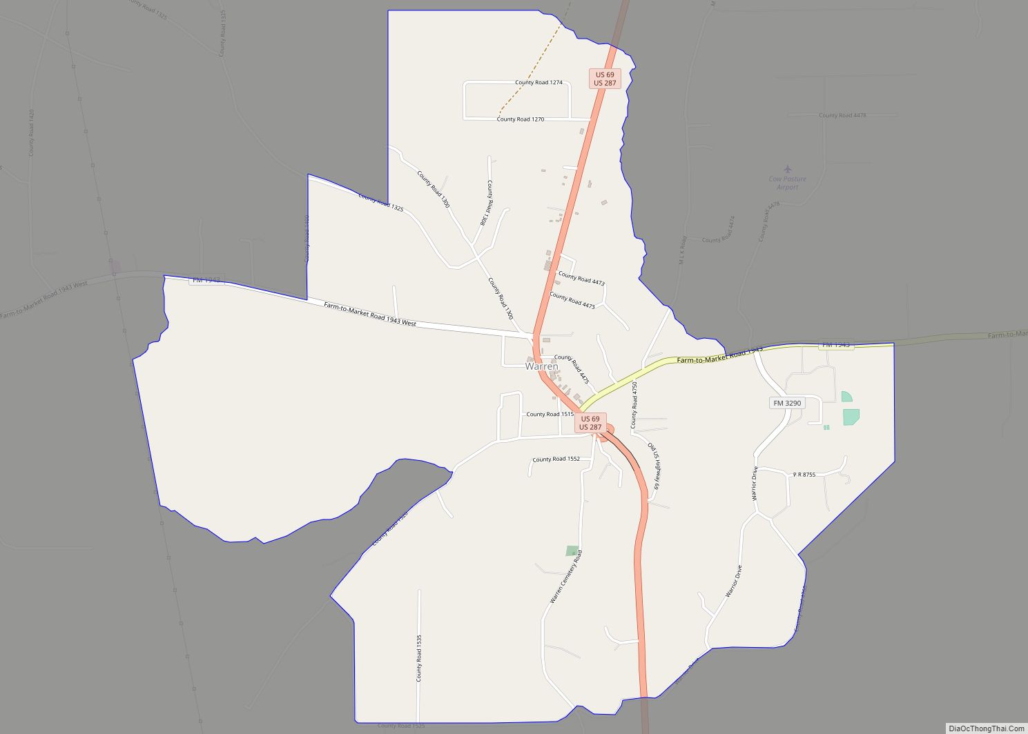
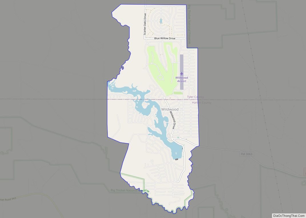
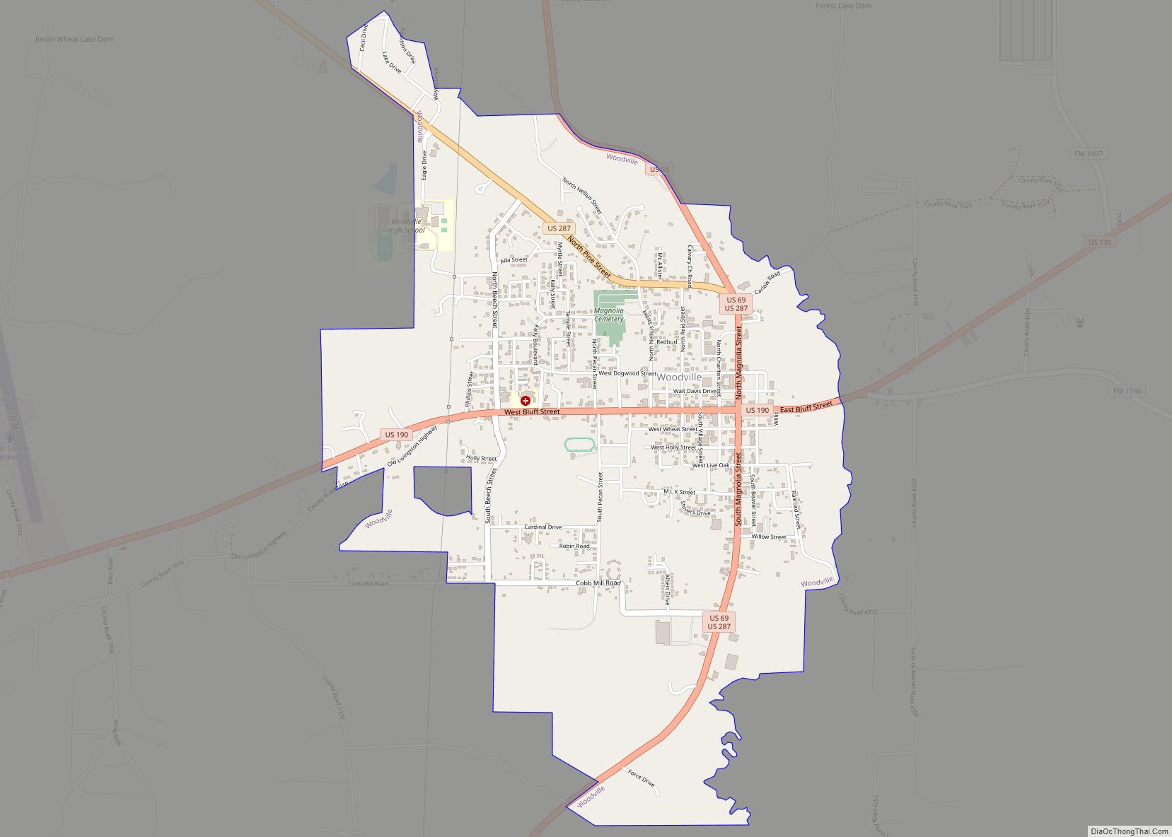
Tyler County Road Map
Geography
According to the U.S. Census Bureau, the county has a total area of 936 square miles (2,420 km), of which 925 square miles (2,400 km) are land and 11 square miles (28 km) (1.2%) are covered by water.
Major highways
- U.S. Highway 69
- U.S. Highway 190
- U.S. Highway 287
- Recreational Road 255
Adjacent counties
- Angelina County (north)
- Jasper County (east)
- Hardin County (south)
- Polk County (west)
National protected area
- Big Thicket National Preserve (part)
