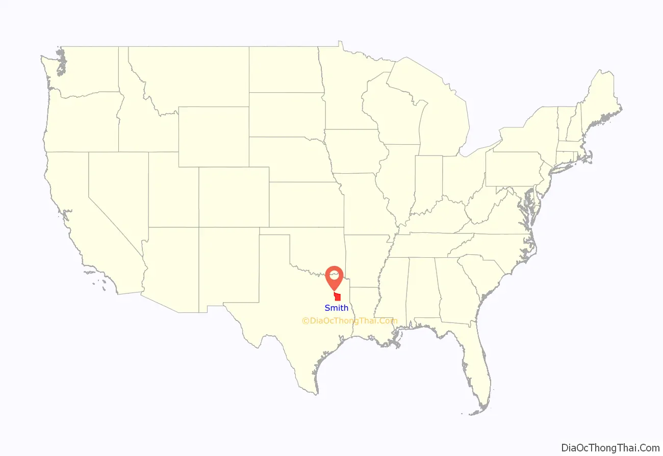
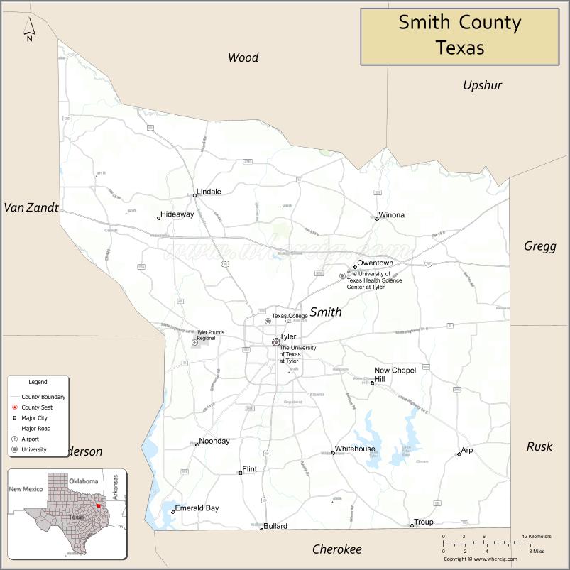
Smith County is a county in the U.S. state of Texas. As of the 2020 census, its population was 233,479. Its county seat is Tyler. Smith County is named for James Smith, a general during the Texas Revolution.
Smith County is part of the Tyler metropolitan statistical area and the Tyler–Jacksonville combined statistical area.
| Name: | Smith County |
|---|---|
| FIPS code: | 48-423 |
| State: | Texas |
| Founded: | July 1846 |
| Seat: | Tyler |
| Largest city: | Tyler |
| Total Area: | 950 sq mi (2,500 km²) |
| Land Area: | 921 sq mi (2,390 km²) |
| Total Population: | 233,479 |
| Population Density: | 250/sq mi (95/km²) |
| Time zone: | UTC−6 (Central) |
| Summer Time Zone (DST): | UTC−5 (CDT) |
| Website: | www.smith-county.com |
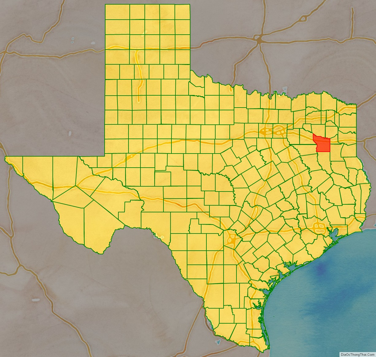
Smith County location map. Where is Smith County?
History
For thousands of years, indigenous peoples occupied this area of present-day Texas. The first known inhabitants of the area now known as Smith County were the Caddo Indians, who were recorded here until 1819. That year, a band of Cherokee, led by The Bowl (also known as Chief Bowles), migrated from Georgia and settled in what are now Smith and Rusk counties. The Treaty of Bowles Village on February 23, 1836, between the Republic of Texas and the Cherokee and 12 affiliated tribes, gave all of Smith and Cherokee counties, as well as parts of western Rusk County, southern Gregg (formed from Rusk County in 1873) and southeastern Van Zandt counties to the tribes.
Native Americans remained on these lands until the Cherokee War in the summer of 1839, as part of European-American conflicts with Native Americans in Texas. The Cherokee were driven out of Smith County. In this period, Cherokee and other Native American nations were forced from the Southeast United States to west of the Mississippi River to Indian Territory during Indian Removal.
After 1845, some Cherokee returned when Benjamin Franklin Thompson, a white man married to a Cherokee, purchased 10,000 acres of land in Rusk County and allowed them to settle. The Mount Tabor Indian Community developed here, some six miles south of present-day Kilgore. The community later grew and incorporated areas near Overton, Arp, and Troup, Texas.
In July 1846, Smith County separated from the Nacogdoches District and was named for James Smith, a general of the Texas Revolution. At this time, Tyler was designated as the county seat.
Camp Fanin, a World War II US army replacement training facility, was located in the area known as Owentown, northeast of Tyler along US Hwy 271. Many of its original buildings still exist.
During the [[American Civil War, Camp Ford was the largest Confederate prisoner-of-war camp west of the Mississippi River. Here, Sheriff Jim Reed of Collin County and Judge McReynolds, former chief justice of the district, were seized and lynched by “Regulators”.
The original site of the camp stockade is now a public historic park, owned by Smith County, and managed by the Smith County Historical Society. The park contains a kiosk, a paved trail, interpretive signage, a cabin reconstruction, and a picnic area. It is located on Highway 271, 0.8 miles north of Loop 323.
20th century to present
The Smith County Historical Society, a 501(c)(3) nonprofit organization, was founded in 1959 by individuals and business firms dedicated to discovering, collecting, and preserving data, records, and other items relating to the history of Smith County. More information can be found at the Smith County Historical Society Website.
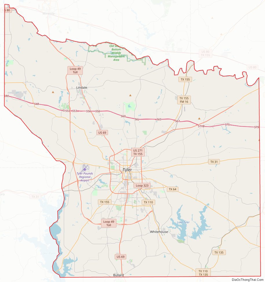
Smith County Road Map
Geography
According to the U.S. Census Bureau, the county has a total area of 950 square miles (2,500 km), of which 921 square miles (2,390 km) are land and 28 square miles (73 km) (3.0%) are covered by water.
The county infrastructure includes some 1,180 miles (1,900 km) of two-lane county road.
Major highways
- Interstate 20
- U.S. Highway 69
- U.S. Highway 80
- U.S. Highway 271
- State Highway 31
- State Highway 57
- State Highway 64
- State Highway 110
- State Highway 135
- State Highway 155
- Loop 49
- Loop 323
Adjacent counties
- Wood County (north)
- Upshur County (northeast)
- Gregg County (east)
- Rusk County (southeast)
- Cherokee County (south)
- Henderson County (southwest)
- Van Zandt County (northwest)
Communities
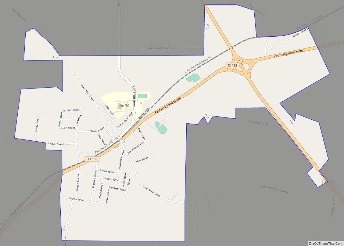
- Arp
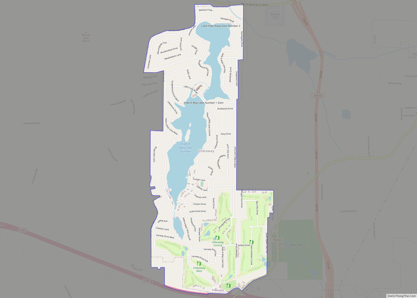
- Hideaway
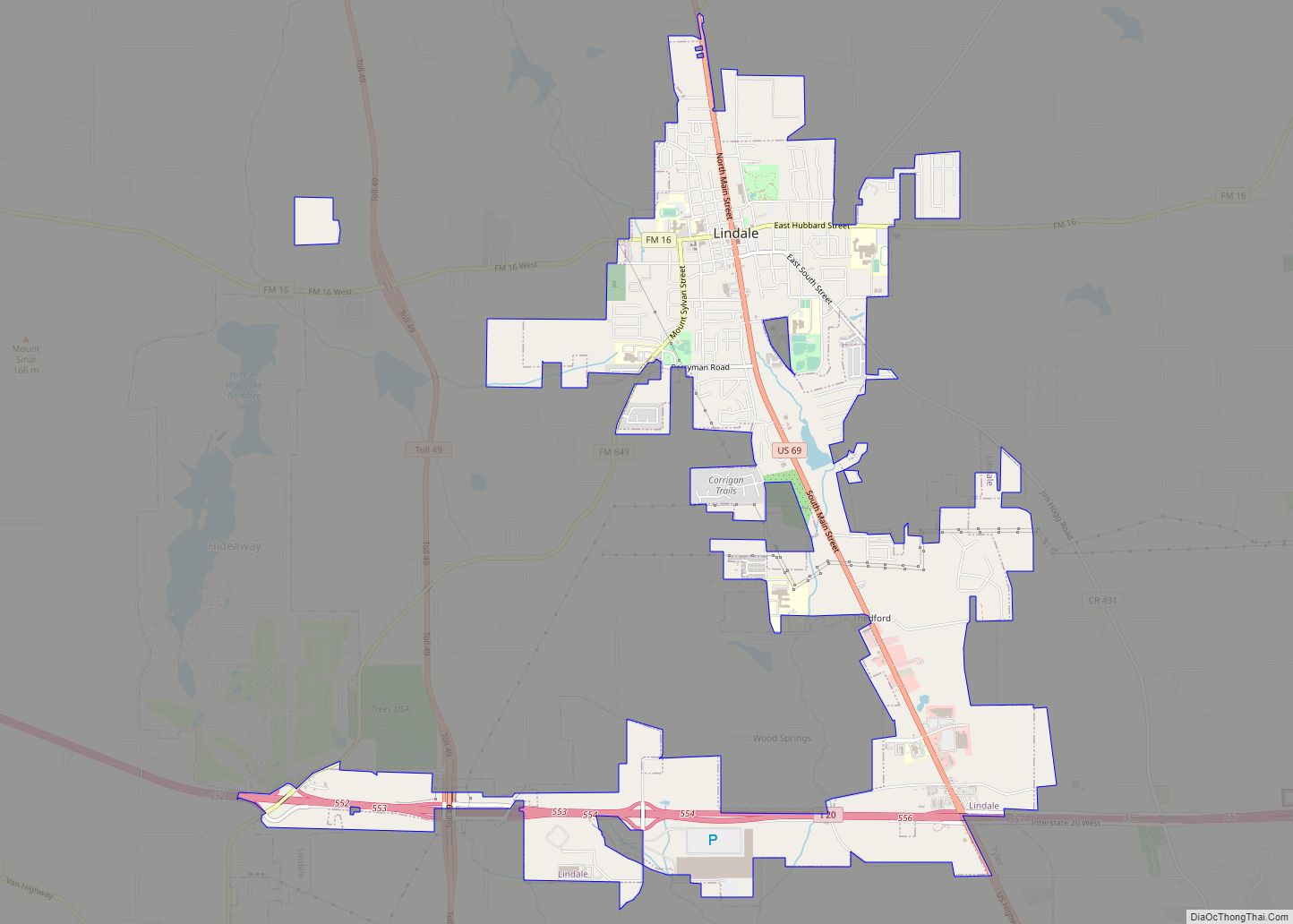
- Lindale
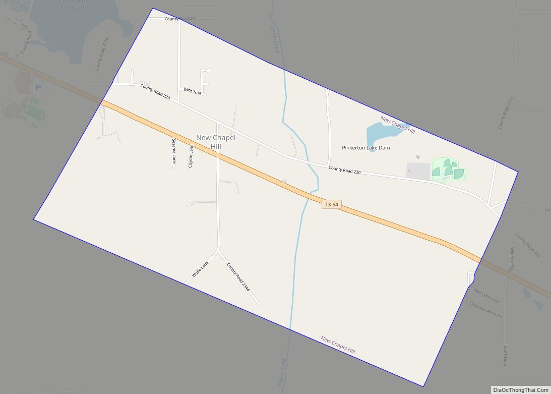
- New Chapel Hill
- Noonday
- Overton (mostly in Rusk County)
- Troup (small part in Cherokee County)
- Tyler (county seat)
- Whitehouse
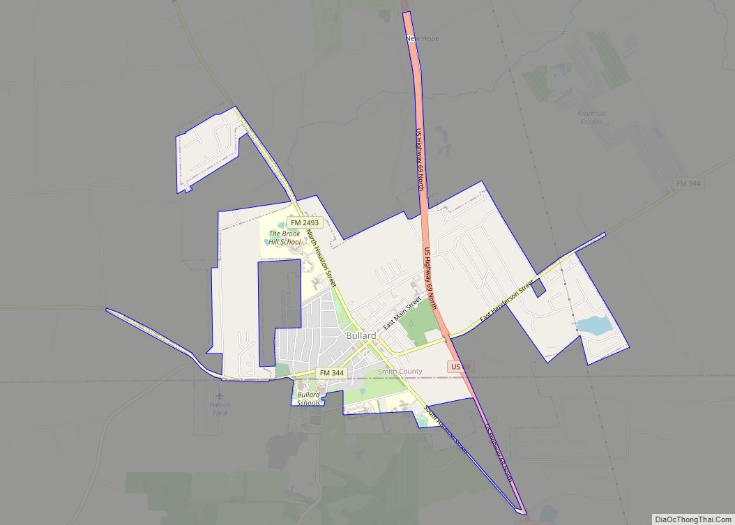
- Bullard (small part in Cherokee County)
- Winona
- Antioch
- Bascom
- Blackjack
- Bostick
- Browning
- Carroll
- Copeland
- Dogwood City
- Elberta
- Flint
- Garden Valley
- Gresham
- Jamestown
- Lee Spring
- Midway
- Mount Sylvan
- New Harmony
- New Hope
- Omen
- Owentown
- Pine Springs
- Pine Trail Estates
- Red Springs
- Salem
- Sand Flat
- Shady Grove
- Sinclair City
- Starrville
- Swan
- Teaselville
- Thedford
- Walnut Grove
- Waters Bluff
- Wood Springs
- Wright City
- Burning Bush
- Douglas
- Utica
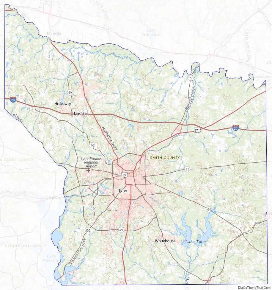
Smith County Topographic Map
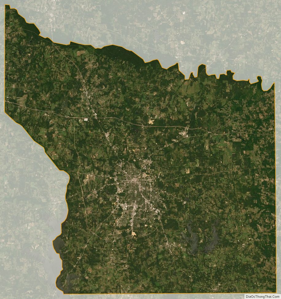
Smith County Satellite Map
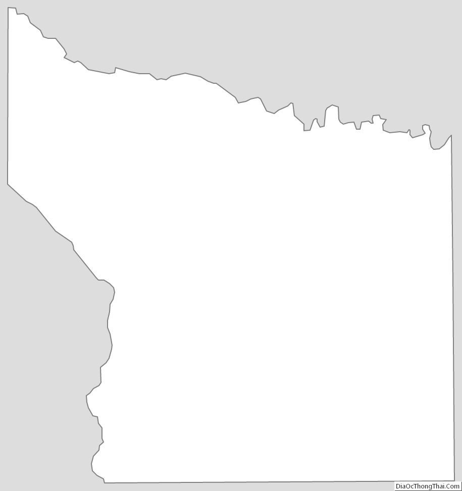
Smith County Outline Map