Upshur County is a county in the U.S. state of West Virginia. As of the 2020 census, the population was 23,816. Its county seat is Buckhannon. The county was formed in 1851 from Randolph, Barbour, and Lewis counties and named for Abel Parker Upshur, a distinguished statesman and jurist of Virginia. Upshur served as United States Secretary of State and Secretary of the Navy under President John Tyler.
| Name: | Upshur County |
|---|---|
| FIPS code: | 54-097 |
| State: | West Virginia |
| Founded: | March 26, 1851 |
| Named for: | Abel Parker Upshur |
| Seat: | Buckhannon |
| Largest city: | Buckhannon |
| Total Area: | 355 sq mi (920 km²) |
| Land Area: | 355 sq mi (920 km²) |
| Total Population: | 23,816 |
| Population Density: | 67/sq mi (26/km²) |
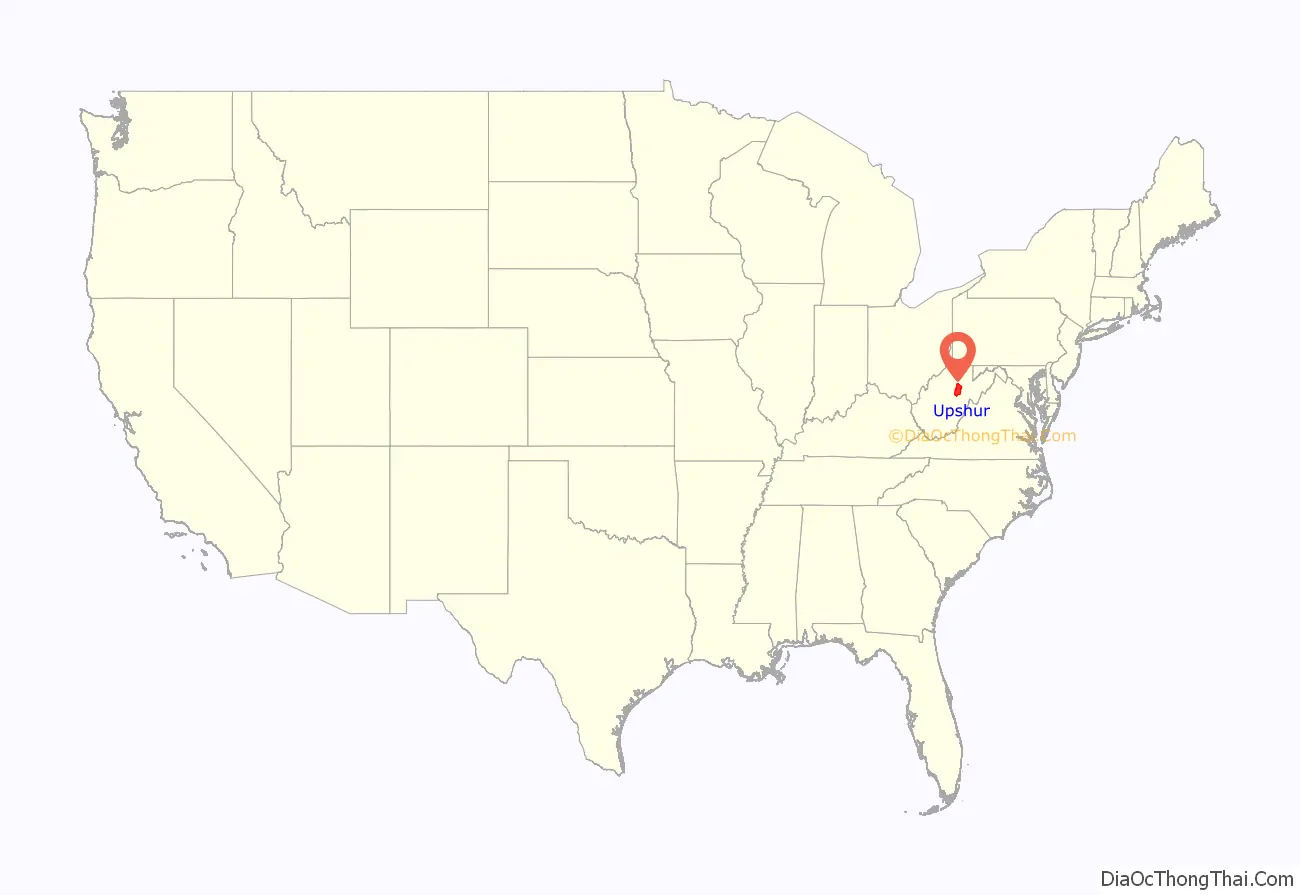
Upshur County location map. Where is Upshur County?
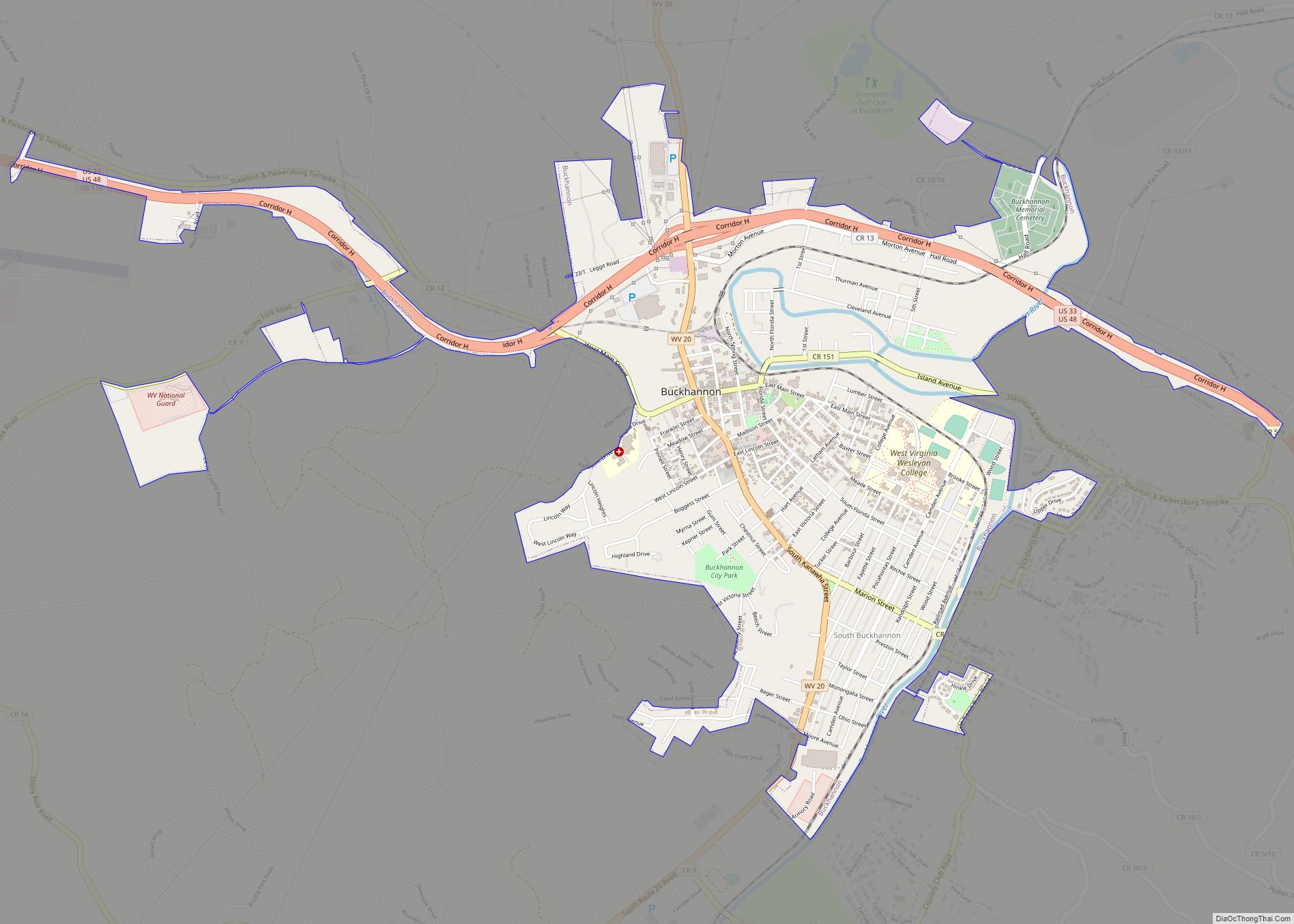
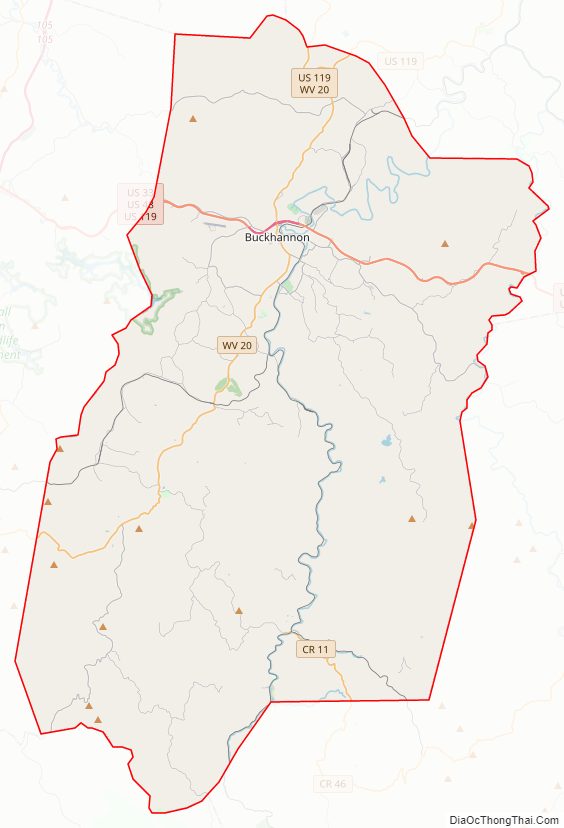
Upshur County Road Map
Geography
According to the United States Census Bureau, the county has a total area of 355 square miles (920 km), of which 354.9 square miles (919 km) is land and 0.1 square mile (0.26 km) (0.03%) is water. The county falls within the United States National Radio Quiet Zone. The highest elevation in Upshur County is 3,160 feet, near Sugar Run on the Randolph and Upshur County lines just outside Palace Valley and Hemlock. It is reported there as an elevation marker at the site.
In 1863, West Virginia’s counties were divided into civil townships, with the intention of encouraging local government. This proved impractical in the heavily rural state, and in 1872 the townships were converted into magisterial districts. Upshur County was divided into six districts: Banks, Buckhannon, Meade, Union, Warren, and Washington. In the 1990s, the six historic magisterial districts were consolidated into three new districts: First, Second, and Third.
Major highways
- U.S. Highway 33
- U.S. Highway 48
- U.S. Highway 119
- West Virginia Route 4
- West Virginia Route 20
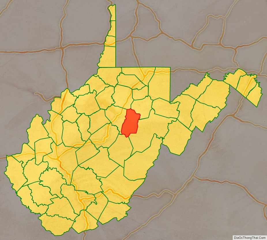
Adjacent counties
- Harrison County (north)
- Barbour County (northeast)
- Randolph County (southeast)
- Webster County (south)
- Lewis County (west)
Upshur County Topographic Map

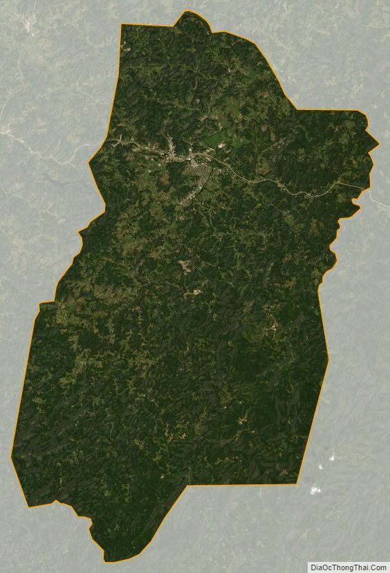
Upshur County Satellite Map
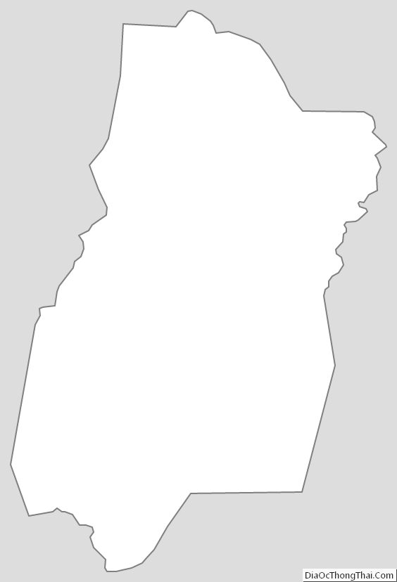
Upshur County Outline Map