Lewis County is a county in the U.S. state of West Virginia. As of the 2020 census, the population was 17,033. Its county seat is Weston. The county was formed in 1816 from Harrison County.
| Name: | Lewis County |
|---|---|
| FIPS code: | 54-041 |
| State: | West Virginia |
| Founded: | December 18, 1816 |
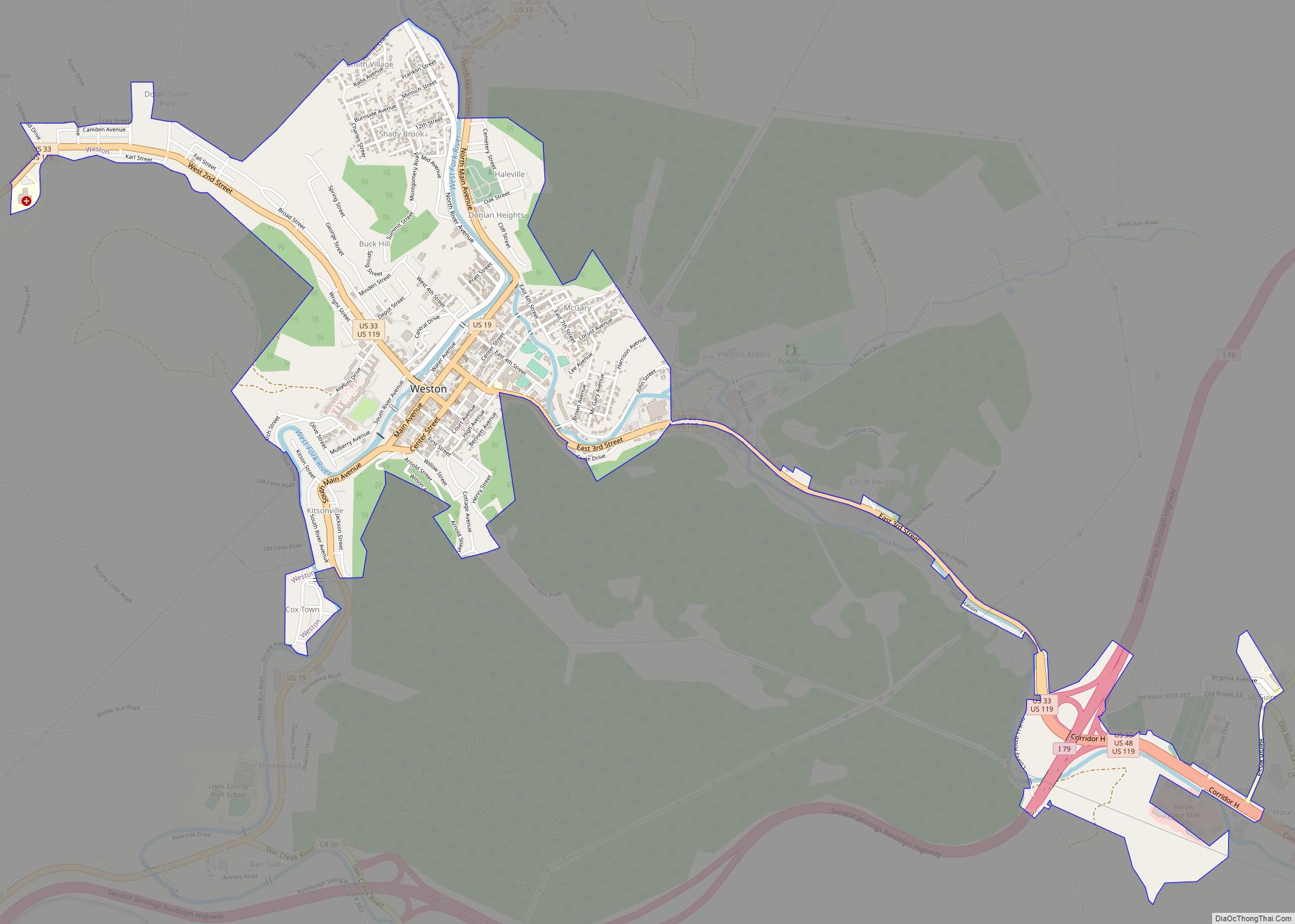
| Seat: | Weston |
| Largest city: | Weston |
| Total Area: | 390 sq mi (1,000 km²) |
| Land Area: | 385 sq mi (1,000 km²) |
| Total Population: | 17,033 |
| Population Density: | 44/sq mi (17/km²) |
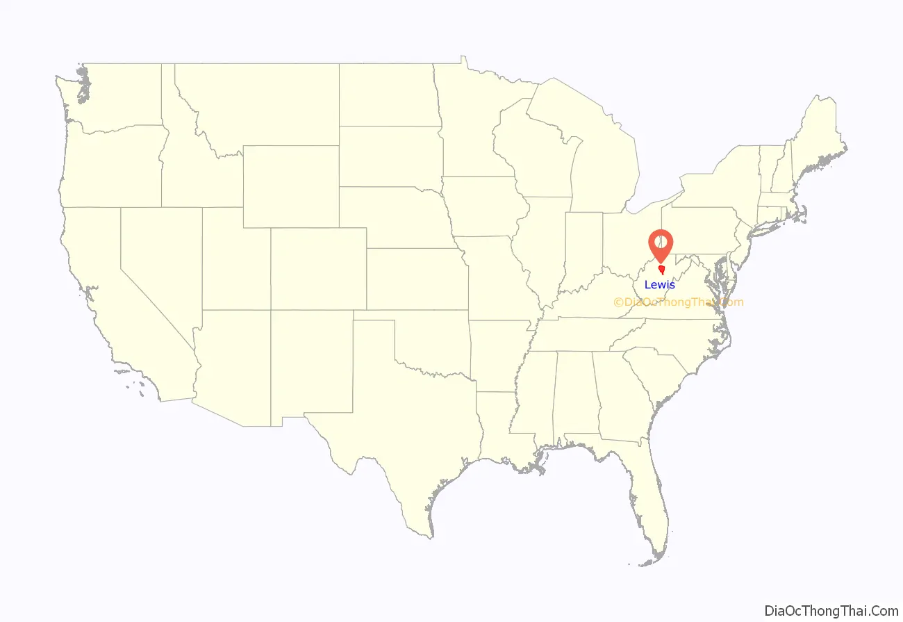
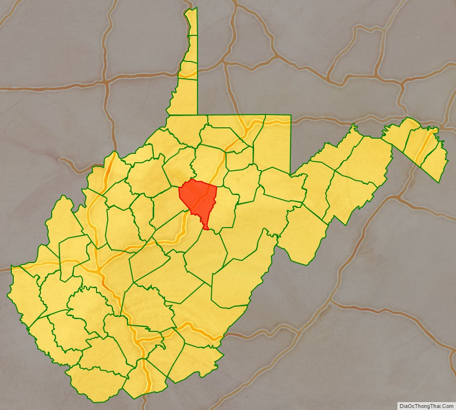
Lewis County location map. Where is Lewis County?
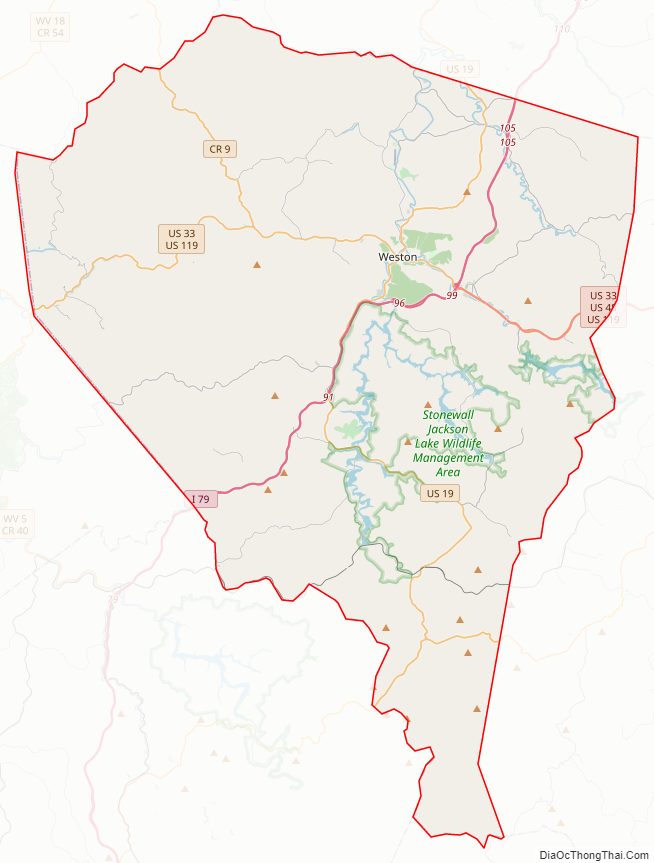
Lewis County Road Map
Geography
According to the United States Census Bureau, the county has a total area of 390 square miles (1,000 km), of which 385 square miles (1,000 km) is land and 4.8 square miles (12 km) (1.2%) is water.
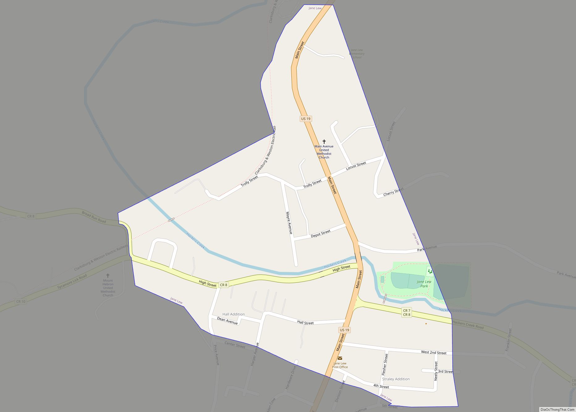
In 1863, West Virginia’s counties were divided into civil townships, with the intention of encouraging local government. This proved impractical in the heavily rural state, and in 1872 the townships were converted into magisterial districts. Lewis County was initially divided into five townships: Battelle, Jane Lew, Lincoln, Sheridan, and Willey. Between 1870 and 1880, these were renamed “Collins Settlement”, “Court House”, “Freemans Creek”, “Hackers Creek”, and “Skin Creek”. In the 1990s, Collins Settlement and Court House Districts were consolidated into one district, known as “Courthouse-Collins Settlement”; Hackers Creek and Skin Creek were also consolidated, forming “Hackers Creek-Skin Creek”.
Major highways
- Interstate 79
- U.S. Highway 19
- U.S. Highway 48
- U.S. Highway 33/119
- West Virginia Route 4
Adjacent counties
- Harrison County (north)
- Upshur County (east)
- Webster County (south)
- Braxton County (southwest)
- Gilmer County (west)
- Doddridge County (northwest)
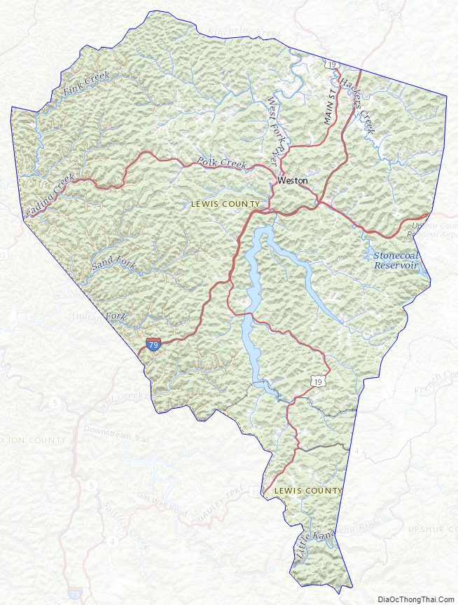
Lewis County Topographic Map
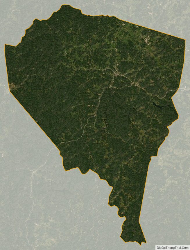
Lewis County Satellite Map
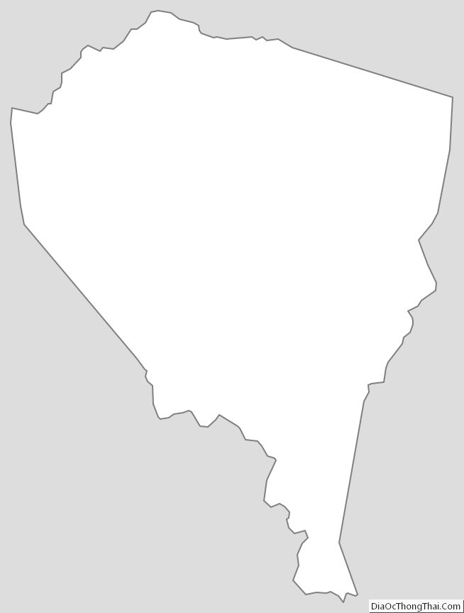
Lewis County Outline Map