Map of Carolina town

Map of Carolina town, Alabama

Carolina is a town in Covington County, Alabama, United States. It is located about 95 miles (153 km) south of Montgomery and about 80 miles (130 km) west of Dothan. At the 2020 census, the population was 286. Carolina town overview: Name: Carolina town LSAD Code: 43 LSAD Description: town (suffix) State: Alabama County: Covington County Elevation: … Read more

Map of Carlton CDP

Map of Carlton CDP, Alabama

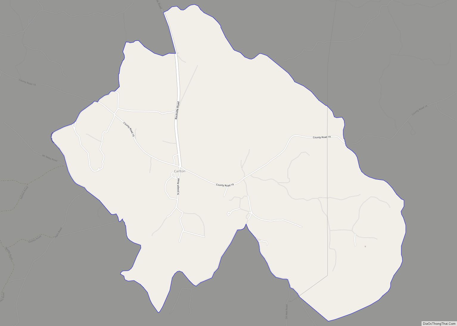
Carlton is an census-designated place in Clarke County, Alabama, United States. As of the 2010 census, its population was 65. It was formerly known as Hal’s Lake. The Isaac Nettles Gravestones are located in Carlton in the Mount Nebo Baptist Church Cemetery. They are listed on the National Register of Historic Places. There was one … Read more

Map of Carlisle-Rockledge CDP

Map of Carlisle-Rockledge CDP

Carlisle-Rockledge is a census-designated place in Etowah County, Alabama, United States. The CDP includes the communities of Carlisle and Rockledge, both of which are located along U.S. Route 431 in northwest Etowah County. Its population was 2,137 as of the 2010 census. Carlisle-Rockledge CDP overview: Name: Carlisle-Rockledge CDP LSAD Code: 57 LSAD Description: CDP (suffix) … Read more

Map of Catherine CDP

Map of Catherine CDP, Alabama

Catherine is an unincorporated community and census-designated place in Wilcox County, Alabama, United States. As of the 2020 census, its population was 65. Catherine CDP overview: Name: Catherine CDP LSAD Code: 57 LSAD Description: CDP (suffix) State: Alabama County: Wilcox County Elevation: 194 ft (59 m) Total Area: 2.29 sq mi (5.94 km²) Land Area: 2.29 sq mi (5.94 km²) Water Area: 0.00 sq mi … Read more

Map of Castleberry town

Map of Castleberry town

Castleberry is a town in Conecuh County, Alabama, United States. At the 2020 census, the population was 486. Castleberry is known as the “Strawberry Capital of Alabama” and is home to the annual Castleberry Strawberry Festival. Castleberry is also known for its “speed trap” with the confiscation of property happening on a regular basis. The … Read more

Map of Carrollton city

Map of Carrollton town, Alabama

Carrollton is a city in and the county seat of Pickens County, Alabama, United States. At the 2010 census the population was 1,019, up from 987 in 2000. The Pickens County Courthouse in the center of Carrollton was erected in 1877. The first courthouse in Carrollton was burned on April 5, 1865 by troops of … Read more

Map of Centre city

Map of Centre city

Centre is a city in Cherokee County, Alabama, United States. At the 2020 census, the population was 3,587. The city is the county seat of Cherokee County. Centre city overview: Name: Centre city LSAD Code: 25 LSAD Description: city (suffix) State: Alabama County: Cherokee County Elevation: 663 ft (202 m) Total Area: 11.76 sq mi (30.45 km²) Land Area: 11.70 sq mi … Read more

Map of Center Point city

Map of Center Point city, Alabama

Center Point is a city and a former census-designated place (CDP) in northeastern Jefferson County, Alabama, United States. It is part of the Birmingham metropolitan area. At the 2020 census, the population was 16,406. However, after its incorporation in 2002, the city’s boundaries are much smaller than those of the CDP. As of the 2010 … Read more

Map of Cedar Bluff town

Map of Cedar Bluff town, Alabama

Cedar Bluff is a town in Cherokee County, Alabama, United States. At the 2020 census, the population was 1,845. Unlike the rest of the county, Cedar Bluff is a wet town. Cedar Bluff is located on the north shore of Weiss Lake, noted for its crappie fishing. Cedar Bluff town overview: Name: Cedar Bluff town … Read more

Map of Chatom town

Map of Chatom town

Chatom is a town in Washington County, Alabama, United States. It incorporated in 1949. Chatom is the county seat of Washington County, holding the distinction since 1907. The town’s population was 1,288 At the 2010 census, up from 1,193 in 2000. Chatom town overview: Name: Chatom town LSAD Code: 43 LSAD Description: town (suffix) State: … Read more

Map of Centreville city

Map of Centreville city, Alabama

Centreville is a city in Bibb County, Alabama, United States. At the 2020 census, the population was 2,800. The city is the county seat of Bibb County. Centreville city overview: Name: Centreville city LSAD Code: 25 LSAD Description: city (suffix) State: Alabama County: Bibb County Founded: 1823 Incorporated: 1832 Elevation: 253 ft (77 m) Total Area: 9.60 sq mi … Read more

Map of Chelsea city

Map of Chelsea city, Alabama

Chelsea is a city in Shelby County, Alabama, United States. It is part of the Birmingham metropolitan area. Chelsea was incorporated on March 1, 1996, with a population of 906. At the 2020 census, the population was 14,982. According to the U.S. Census Bureau, the 2010 population for Chelsea was 10,183 and 14,126 in 2019. … Read more