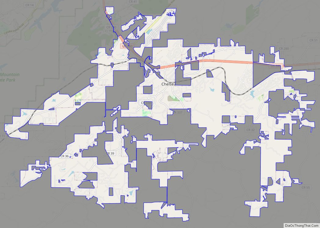
Chelsea is a city in Shelby County, Alabama, United States. It is part of the Birmingham metropolitan area. Chelsea was incorporated on March 1, 1996, with a population of 906. At the 2020 census, the population was 14,982. According to the U.S. Census Bureau, the 2010 population for Chelsea was 10,183 and 14,126 in 2019. Its seasonal campsite and activities for visitors and others living in and around Chelsea is Hargis Retreat which began in 1984. Chelsea is widely considered the fastest growing city in Shelby County, which is one of the fastest-growing counties in the state.
| Name: | Chelsea city |
|---|---|
| LSAD Code: | 25 |
| LSAD Description: | city (suffix) |
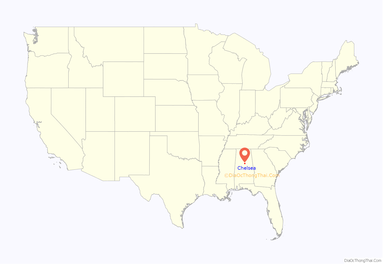
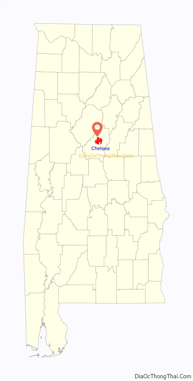
| State: | Alabama |
| County: | Shelby County |
| Elevation: | 509 ft (155 m) |
| Total Area: | 24.35 sq mi (63.06 km²) |
| Land Area: | 23.93 sq mi (61.97 km²) |
| Water Area: | 0.42 sq mi (1.09 km²) |
| Total Population: | 15,908 |
| Population Density: | 626.13/sq mi (241.75/km²) |
| ZIP code: | 35043 |
| Area code: | 205, 659 |
| FIPS code: | 0114104 |
| GNISfeature ID: | 2404037 |
| Website: | cityofchelsea.com |
Online Interactive Map
Click on ![]() to view map in "full screen" mode.
to view map in "full screen" mode.
Chelsea location map. Where is Chelsea city?
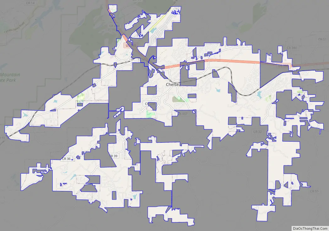
Chelsea Road Map
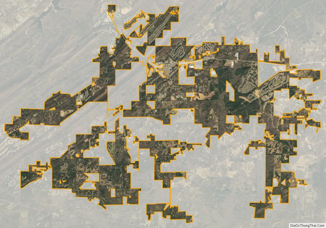
Chelsea city Satellite Map
Geography
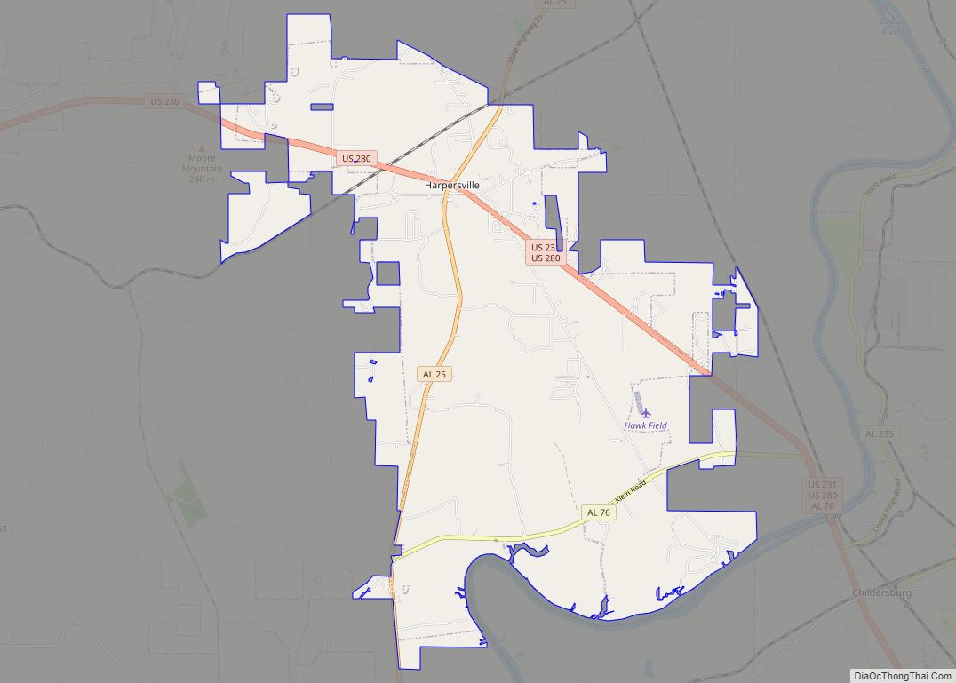
Chelsea is located near the central part of Shelby County at 33° 20′ 24″ N, -86° 37′ 49″ W (33.3401108 N, -86.6302625 W). The city is traversed by multiple county highways, as well as U.S. Route 280, which runs through the northern part of the city, leading northwest 19 mi (31 km) to downtown Birmingham, and east 12 mi (19 km) to Harpersville. Double Oak Mountain, a southern extension of the Appalachian Mountains, runs northwest of the city. Part of the city limits extend along US 280 on top of the ridge.
See also
Map of Alabama State and its subdivision:- Autauga
- Baldwin
- Barbour
- Bibb
- Blount
- Bullock
- Butler
- Calhoun
- Chambers
- Cherokee
- Chilton
- Choctaw
- Clarke
- Clay
- Cleburne
- Coffee
- Colbert
- Conecuh
- Coosa
- Covington
- Crenshaw
- Cullman
- Dale
- Dallas
- De Kalb
- Elmore
- Escambia
- Etowah
- Fayette
- Franklin
- Geneva
- Greene
- Hale
- Henry
- Houston
- Jackson
- Jefferson
- Lamar
- Lauderdale
- Lawrence
- Lee
- Limestone
- Lowndes
- Macon
- Madison
- Marengo
- Marion
- Marshall
- Mobile
- Monroe
- Montgomery
- Morgan
- Perry
- Pickens
- Pike
- Randolph
- Russell
- Saint Clair
- Shelby
- Sumter
- Talladega
- Tallapoosa
- Tuscaloosa
- Walker
- Washington
- Wilcox
- Winston
- Alabama
- Alaska
- Arizona
- Arkansas
- California
- Colorado
- Connecticut
- Delaware
- District of Columbia
- Florida
- Georgia
- Hawaii
- Idaho
- Illinois
- Indiana
- Iowa
- Kansas
- Kentucky
- Louisiana
- Maine
- Maryland
- Massachusetts
- Michigan
- Minnesota
- Mississippi
- Missouri
- Montana
- Nebraska
- Nevada
- New Hampshire
- New Jersey
- New Mexico
- New York
- North Carolina
- North Dakota
- Ohio
- Oklahoma
- Oregon
- Pennsylvania
- Rhode Island
- South Carolina
- South Dakota
- Tennessee
- Texas
- Utah
- Vermont
- Virginia
- Washington
- West Virginia
- Wisconsin
- Wyoming