Centre is a city in Cherokee County, Alabama, United States. At the 2020 census, the population was 3,587. The city is the county seat of Cherokee County.
| Name: | Centre city |
|---|---|
| LSAD Code: | 25 |
| LSAD Description: | city (suffix) |
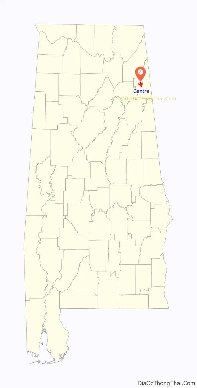
| State: | Alabama |
| County: | Cherokee County |
| Elevation: | 663 ft (202 m) |
| Total Area: | 11.76 sq mi (30.45 km²) |
| Land Area: | 11.70 sq mi (30.31 km²) |
| Water Area: | 0.05 sq mi (0.14 km²) |
| Total Population: | 3,587 |
| Population Density: | 306.50/sq mi (118.34/km²) |
| ZIP code: | 35960 |
| Area code: | 256 |
| FIPS code: | 0113648 |
| GNISfeature ID: | 0115902 |
| Website: | www.cityofcentre.com |
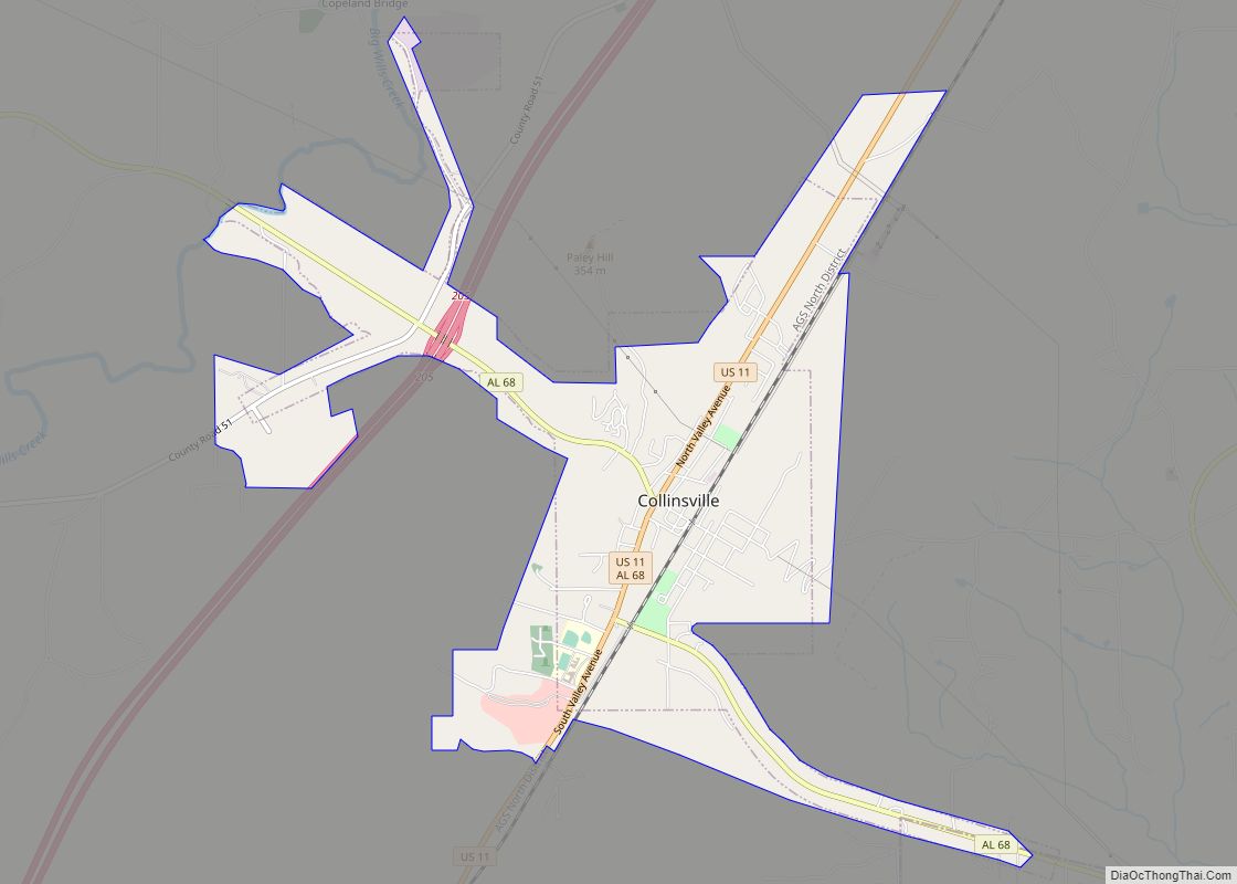
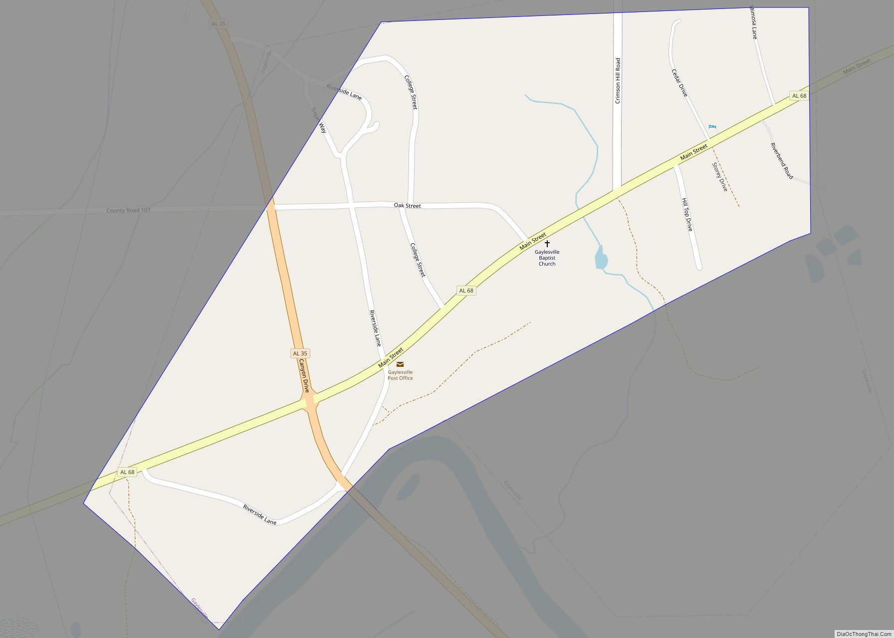
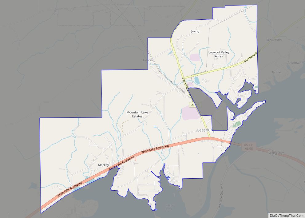
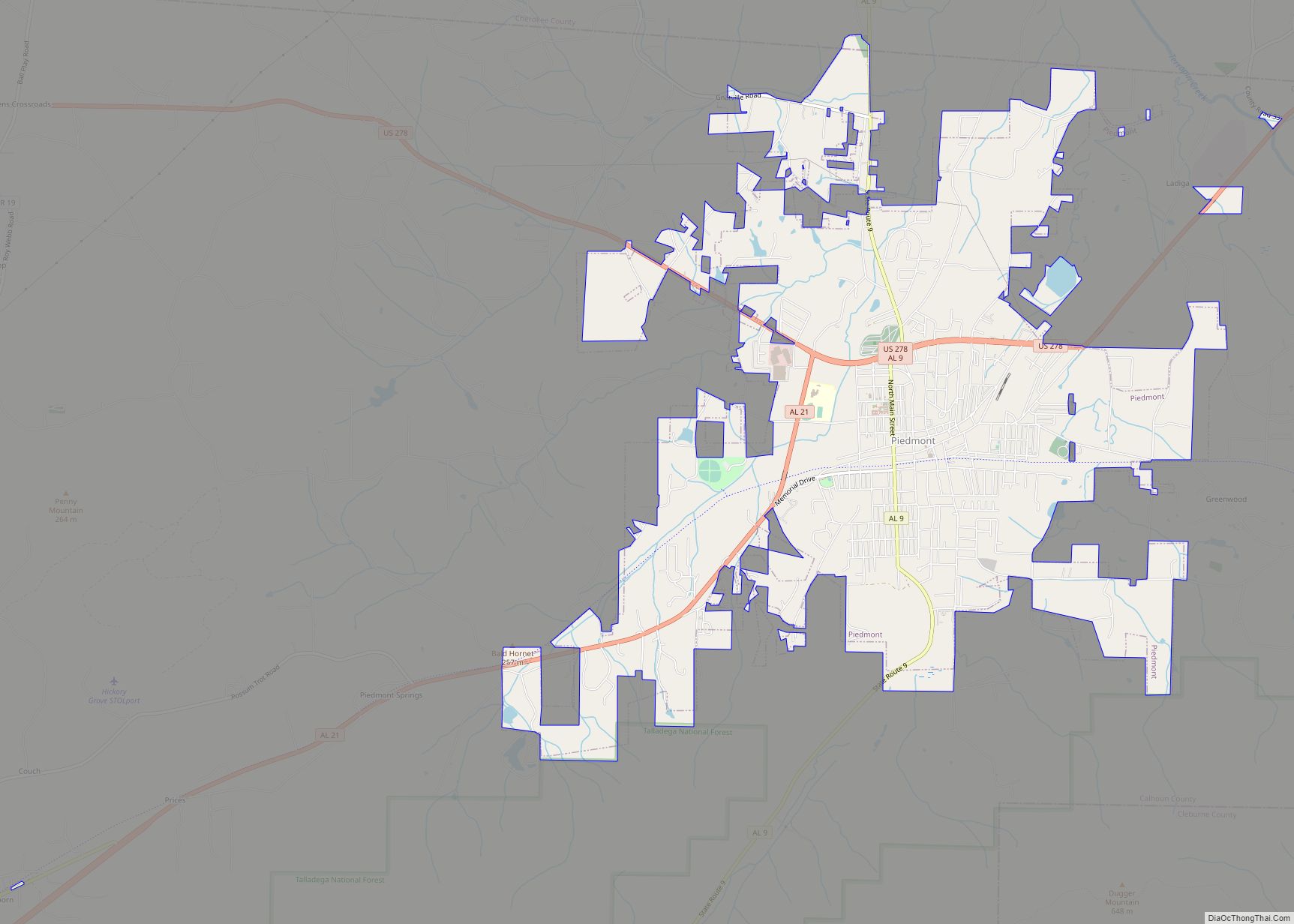
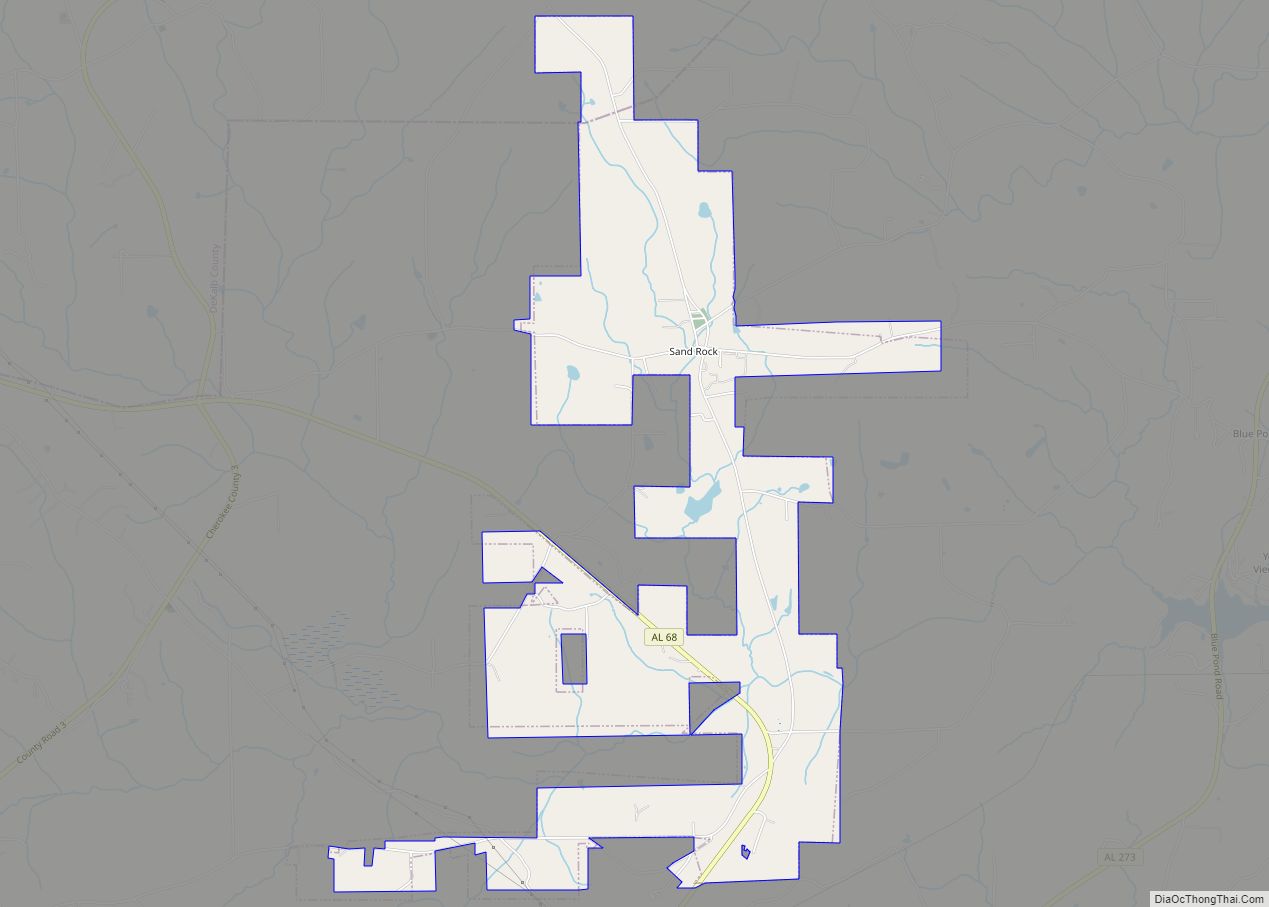
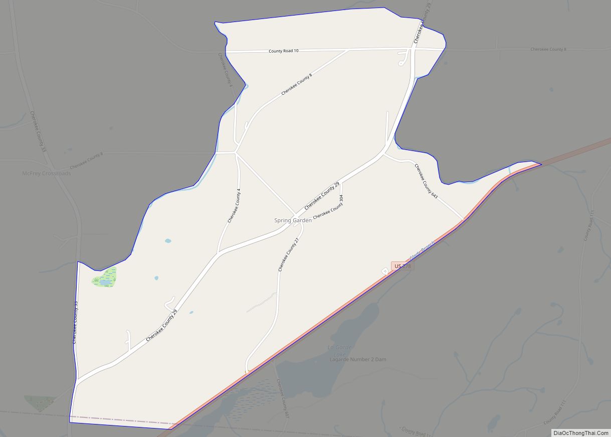
Online Interactive Map
Click on ![]() to view map in "full screen" mode.
to view map in "full screen" mode.
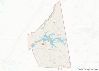
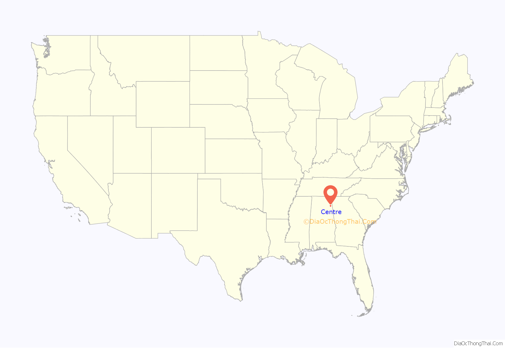
Centre location map. Where is Centre city?
History
Cherokee County was created on January 9, 1836, and named for the Cherokee people who once lived in the area. The famous Cherokee chief Pathkiller lived in Turkeytown near the present town of Centre. In 1836 the newly founded town of Cedar Bluff became the county seat, but in 1844 the county seat was moved to the more centrally located town of Centre. The name was chosen, and carries the British English spelling, because of this central location in the county. In 2011, Centre began allowing the sale of alcoholic beverages, and is no longer a dry city.
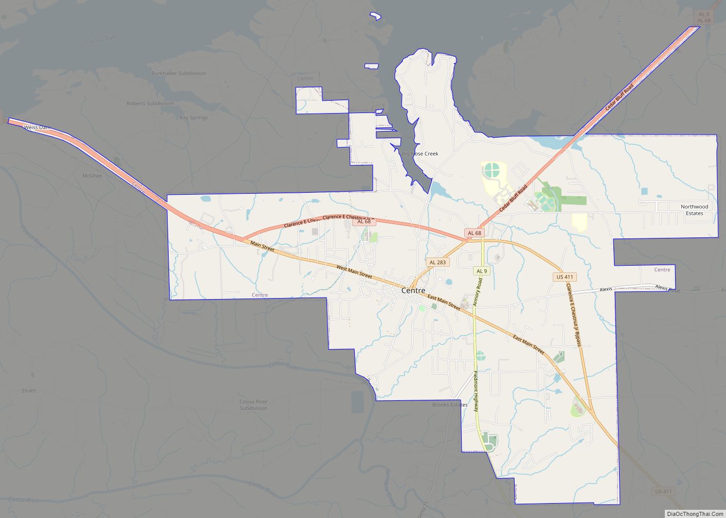
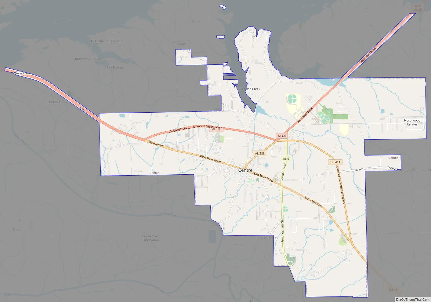
Centre Road Map
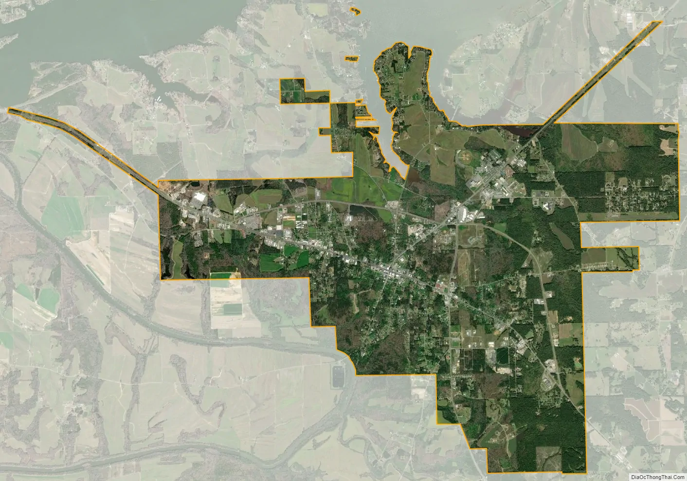
Centre city Satellite Map
Geography
Centre is located slightly west of the center of Cherokee County at 34°9’33.052″ North, 85°40’29.071″ West (34.159181, -85.674742). The city limits extend north to the south shore of Weiss Lake on the Coosa River.
U.S. Route 411 and Alabama State Route 68 run to the north of the city as a bypass, with US-411 leading east 22 mi (35 km) to Cave Spring, Georgia, and northwest 5 mi (8.0 km) to Leesburg. Alabama State Route 9 also runs through the city, leading northeast 6 mi (9.7 km) to Cedar Bluff with AL-68, and south 18 mi (29 km) to Piedmont.
According to the U.S. Census Bureau, the city has a total area of 11.5 square miles (29.9 km), of which 11.4 square miles (29.6 km) is land and 0.08 square miles (0.2 km), or 0.81%, is water.
Climate
See also
Map of Alabama State and its subdivision:- Autauga
- Baldwin
- Barbour
- Bibb
- Blount
- Bullock
- Butler
- Calhoun
- Chambers
- Cherokee
- Chilton
- Choctaw
- Clarke
- Clay
- Cleburne
- Coffee
- Colbert
- Conecuh
- Coosa
- Covington
- Crenshaw
- Cullman
- Dale
- Dallas
- De Kalb
- Elmore
- Escambia
- Etowah
- Fayette
- Franklin
- Geneva
- Greene
- Hale
- Henry
- Houston
- Jackson
- Jefferson
- Lamar
- Lauderdale
- Lawrence
- Lee
- Limestone
- Lowndes
- Macon
- Madison
- Marengo
- Marion
- Marshall
- Mobile
- Monroe
- Montgomery
- Morgan
- Perry
- Pickens
- Pike
- Randolph
- Russell
- Saint Clair
- Shelby
- Sumter
- Talladega
- Tallapoosa
- Tuscaloosa
- Walker
- Washington
- Wilcox
- Winston
- Alabama
- Alaska
- Arizona
- Arkansas
- California
- Colorado
- Connecticut
- Delaware
- District of Columbia
- Florida
- Georgia
- Hawaii
- Idaho
- Illinois
- Indiana
- Iowa
- Kansas
- Kentucky
- Louisiana
- Maine
- Maryland
- Massachusetts
- Michigan
- Minnesota
- Mississippi
- Missouri
- Montana
- Nebraska
- Nevada
- New Hampshire
- New Jersey
- New Mexico
- New York
- North Carolina
- North Dakota
- Ohio
- Oklahoma
- Oregon
- Pennsylvania
- Rhode Island
- South Carolina
- South Dakota
- Tennessee
- Texas
- Utah
- Vermont
- Virginia
- Washington
- West Virginia
- Wisconsin
- Wyoming