Centreville is a city in Bibb County, Alabama, United States. At the 2020 census, the population was 2,800. The city is the county seat of Bibb County.
| Name: | Centreville city |
|---|---|
| LSAD Code: | 25 |
| LSAD Description: | city (suffix) |
| State: | Alabama |
| County: | Bibb County |
| Founded: | 1823 |
| Incorporated: | 1832 |
| Elevation: | 253 ft (77 m) |
| Total Area: | 9.60 sq mi (24.86 km²) |
| Land Area: | 9.45 sq mi (24.48 km²) |
| Water Area: | 0.15 sq mi (0.38 km²) |
| Total Population: | 2,800 |
| Population Density: | 296.26/sq mi (114.39/km²) |
| ZIP code: | 35042 |
| Area code: | 205, 659 |
| FIPS code: | 0113672 |
| GNISfeature ID: | 0159359 |
| Website: | cityofcentreville.com |
Online Interactive Map
Click on ![]() to view map in "full screen" mode.
to view map in "full screen" mode.
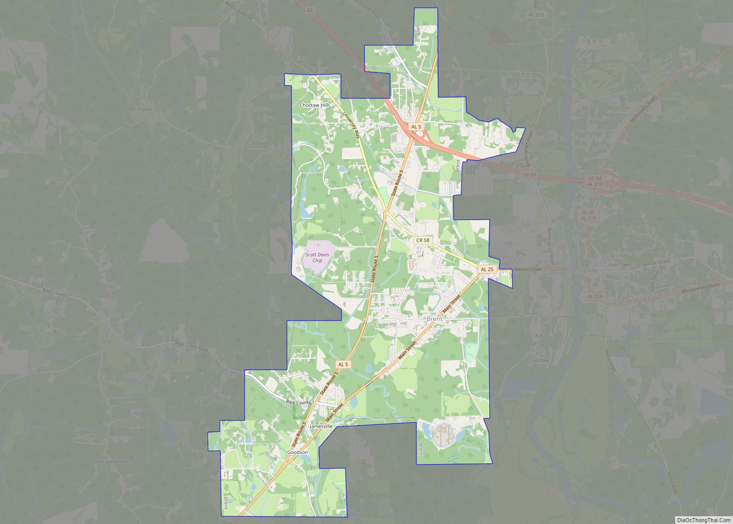
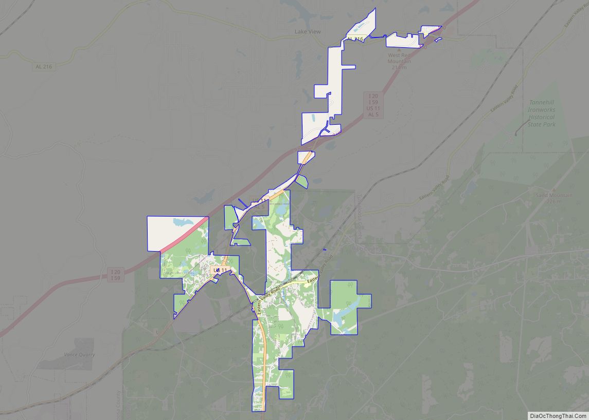
Centreville location map. Where is Centreville city?


History
The Cahaba River falls near Centreville, which made the town a strategic location for transportation through the region. The first post office in Bibb County was established in Centreville in 1821. Sarah Willis Chotard obtained a patent for land in this area in 1823 and began moving squatters off the land and laid out a plot for the new town of Centreville.
In 1829, Centreville became the permanent seat for Bibb County after several years of debate and different locations of the county courthouse, and the town was incorporated in 1832. Centreville’s historic district is listed on the National Register of Historic Places.
On March 25th, 2021, a violent tornado hit the southern and eastern portions of Centreville, causing significant damage to the area and rendering the Bibb County Airport a total loss.
1910 lynching
In 1910, a white woman by the name of Mrs. Crow gave birth to a child of “doubtful color”, who was thought by many to be the product of a relationship between Crow and an African American, and she was accused of having such a relationship. At first she vigorously denied it, but then – under intense peer pressure – she confessed to the baby’s origin but claimed that she had been raped. When asked if she knew who raped her, Crow gave them the name of Grant Richardson, an African American who lived near the Braehead Slope Mine Camp, northeast of Centreville. The miners and other local residents were so incensed at the affair that they decided to apply “summary vengeance” to Richardson as soon as they knew that the sheriff had apprehended him.
Deputy Sheriff Cam Riley apprehended Richardson on October 12, 1910, and was returning him to the jail at Centreville for processing and trial, but was waylaid by a lynch mob. The mob took Richardson from Riley and shot the suspect. Chief Deputy Sheriff Charles Oakley investigated the scene as soon as word of the incident reached him, but other than the body, the shells, and the blood, there was little usable evidence to be found, much less witnesses. A coroner’s inquest was held as soon as a special coroner was appointed, but there is no known result of that inquest. This was the first recorded lynching to take place in Bibb County.
It is unknown whether charges of either filing false charges resulting in a murder or miscegenation were filed against Crow, but it is known by those aware of Richardson that he had lived in the area for a number of years with a fair reputation prior to the incident.
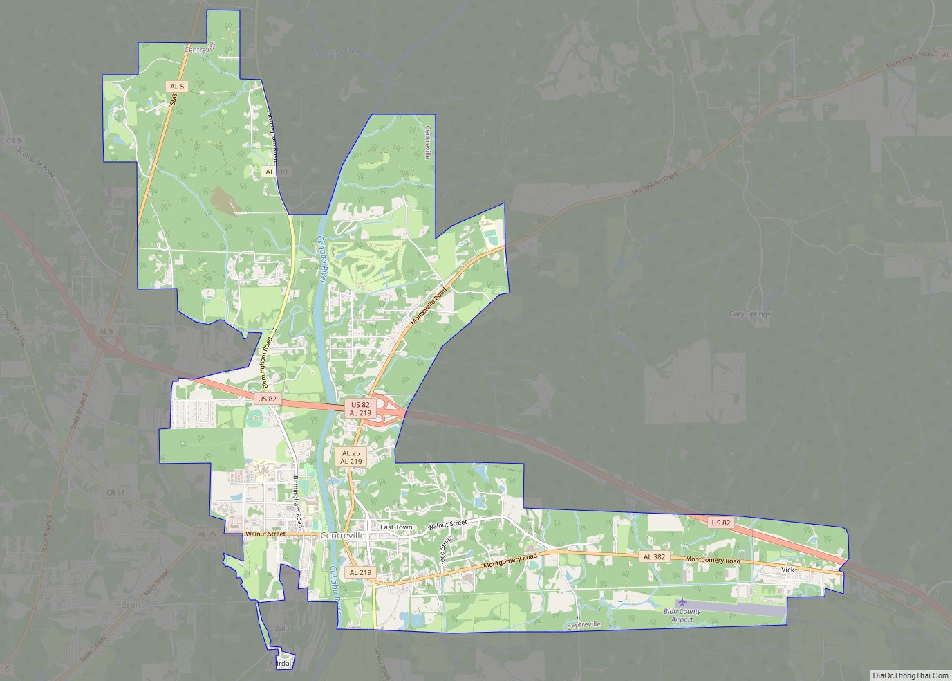
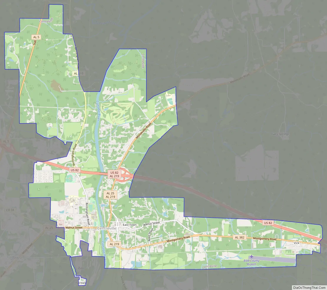
Centreville Road Map
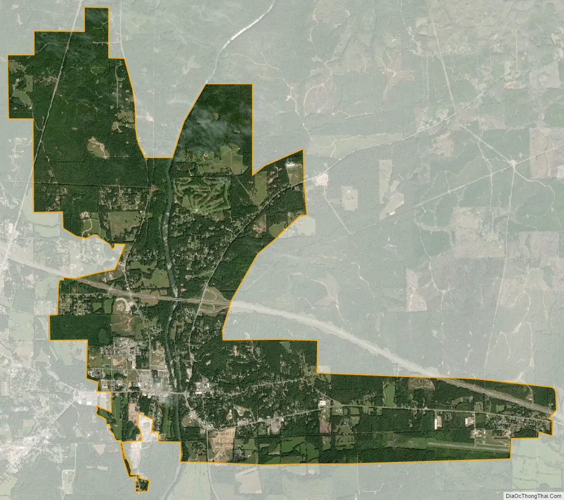
Centreville city Satellite Map
Geography
According to the U.S. Census Bureau, Centreville has a total area of 9.6 square miles (24.9 km), of which 9.5 square miles (24.5 km) are land and 0.15 square miles (0.4 km), or 1.52%, is water. The city is bordered to the west by the city of Brent by the Cahaba River.
The city is located in the central part of the state along U.S. Route 82, which runs from southeast to northwest to the north of the city, leading southeast 70 mi (110 km) to Montgomery, the state capital, and northwest 35 mi (56 km) to Tuscaloosa. Alabama State Routes 25 and 219 both run through the center of the city from south to north. AL-25 leads northeast 21 mi (34 km) to Montevallo and southwest 38 mi (61 km) to Greensboro. AL-219 leads north 7 mi (11 km) to Alabama State Route 5 north of Brent and south 42 mi (68 km) to Selma.
Climate
The climate in this area is characterized by hot, humid summers and generally mild to cool winters. According to the Köppen Climate Classification system, Centreville has a humid subtropical climate, abbreviated Cfa on climate maps.
Centreville is the site of the highest recorded temperature in the state of Alabama, when on September 6, 1925, the temperature reached 112 °F or 44.4 °C. The data below are for the years 1916 to 1974.
See also
Map of Alabama State and its subdivision:- Autauga
- Baldwin
- Barbour
- Bibb
- Blount
- Bullock
- Butler
- Calhoun
- Chambers
- Cherokee
- Chilton
- Choctaw
- Clarke
- Clay
- Cleburne
- Coffee
- Colbert
- Conecuh
- Coosa
- Covington
- Crenshaw
- Cullman
- Dale
- Dallas
- De Kalb
- Elmore
- Escambia
- Etowah
- Fayette
- Franklin
- Geneva
- Greene
- Hale
- Henry
- Houston
- Jackson
- Jefferson
- Lamar
- Lauderdale
- Lawrence
- Lee
- Limestone
- Lowndes
- Macon
- Madison
- Marengo
- Marion
- Marshall
- Mobile
- Monroe
- Montgomery
- Morgan
- Perry
- Pickens
- Pike
- Randolph
- Russell
- Saint Clair
- Shelby
- Sumter
- Talladega
- Tallapoosa
- Tuscaloosa
- Walker
- Washington
- Wilcox
- Winston
- Alabama
- Alaska
- Arizona
- Arkansas
- California
- Colorado
- Connecticut
- Delaware
- District of Columbia
- Florida
- Georgia
- Hawaii
- Idaho
- Illinois
- Indiana
- Iowa
- Kansas
- Kentucky
- Louisiana
- Maine
- Maryland
- Massachusetts
- Michigan
- Minnesota
- Mississippi
- Missouri
- Montana
- Nebraska
- Nevada
- New Hampshire
- New Jersey
- New Mexico
- New York
- North Carolina
- North Dakota
- Ohio
- Oklahoma
- Oregon
- Pennsylvania
- Rhode Island
- South Carolina
- South Dakota
- Tennessee
- Texas
- Utah
- Vermont
- Virginia
- Washington
- West Virginia
- Wisconsin
- Wyoming